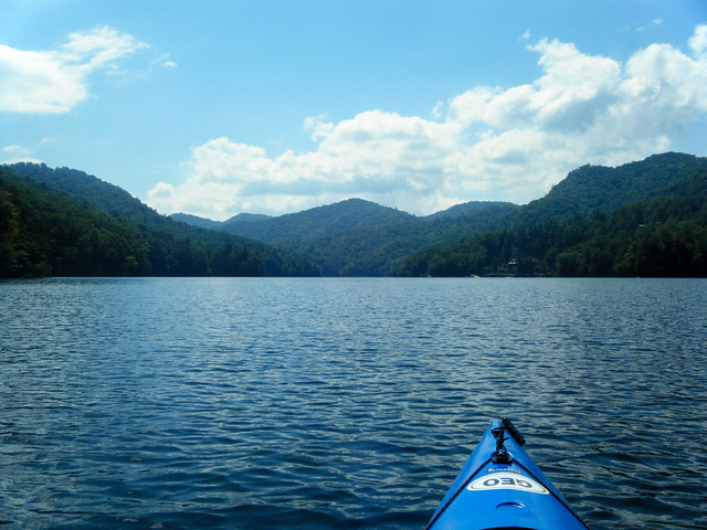
I’ve been wanting to paddle Bear Creek Lake ever since I discovered its existence. I first heard of the lake when the Western Carolina Kayaking Meetup scheduled a trip up there. I couldn’t make that trip, but the missed opportunity nagged at me. This summer on one of my photo treks I stumbled upon the landing for Bear Creek Lake. Seeing it in person made me want to come up here even more. So, when WCKayaking announced another trip, I knew I had to go.
In the 1950’s the Nantahala Power and Light Company built four lakes along the Bear Creek Valley. Bear Creek Lake is the largest of these, and is just a bit larger than Lake Cunningham near Greer. Cliff Lake, Wolf Creek Lake, and Tamassee Creek Lake round out the quartet. Cliff Lake is downstream from Bear Creek Lake, and the other two were built on tributary creeks to Bear Creek. The entire watershed feeds into the Tuckaseegee River. The lakes are now controlled by Duke Power.
Unlike Lakes Glenville and Toxaway nearby, there is not much development along these lakes. The views of the high hills and rocks remain somewhat pristine. However, I’m afraid that will change. I don’t know if there are any easements or protections in place as there are at Lake Jocassee, but I saw signs for various realtors and development. I hope they don’t destroy the lake shores as they did at Toxaway and some of the South Carolina lakes like Keowee, Hartwell, Murray, and Greenwood.
The plan was to meet at the launch at 11:00 am, a reasonable time, in my opinion. It gave me plenty of time to get up there and explore a bit first. The drive up is spectacular, winding through the highlands of South Carolina then crossing up to Cashiers, then passing the much larger Glenville Lake. The lake itself is off of Highway 281, past a farming valley formed by the Tuckaseegee River and Bear Creek.
The lat/long coordinates were actually closer to another, bit more remote lake access, so the meeting place was a bit ambiguous. I arrived at what I assumed to the be correct place, but I saw no other paddlers. I knew I was early, and had plenty of time, so I decided to check out the other launch. It was on the other side of the lake down a much longer, winding dirt road. It also looked like it would be a great place to launch an expedition, but I knew from seeing it that probably the other main launch was where we would start. I headed back.
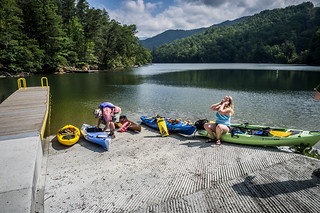
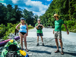
Soon the others arrived. We were expecting five from the Greenville chapter of the group, and nine from the Asheville group. Only five others from Asheville showed up. It looked like we would have a small group. We got our gear ready, made introductions, and Rich, the organizer, went over the obligatory safety rules.
The plan, if there was one, was to paddle out to a small beach where we would have lunch, head out to an island in the lake, then paddle up to a waterfall. From there we would see how much of the lake we could explore.
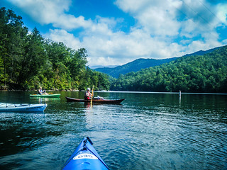
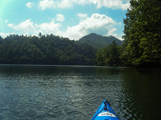
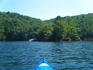
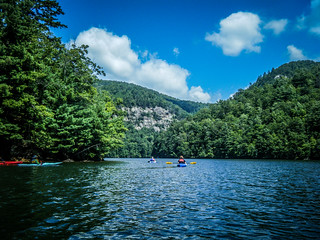
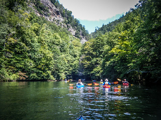
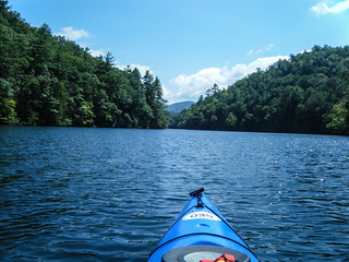
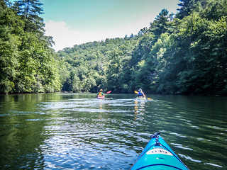
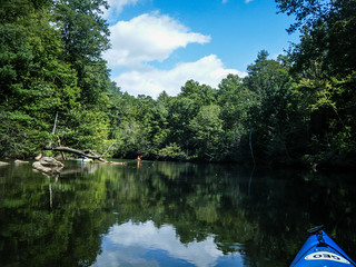
Things started off well. The weather was perfect – warm with a slight breeze and a few clouds. The scenery was astounding.
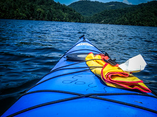
Unfortunately, things would not continue well. We had only gotten a few hundred yards from the launch when the suction cup on my GoPro camera turned loose. The tether didn’t hold, so it hit the water. I didn’t panic, though, because I had the “Floaty” back on the camera case. With horror, I watched as the camera started to sink. The float back apparently couldn’t support the weight of the suction cup mount. I couldn’t get to it in time. The water was deep and dark, and there was no way I was going in after it. I lingered hopelessly in the area, trying to will the camera to float back up, but it wasn’t going to happen. So, now my GoPro is at the bottom of Bear Creek Lake with no chance of retrieval. Disheartened, I reluctantly left and paddled toward our lunch destination.
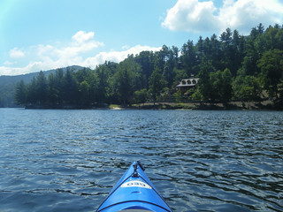
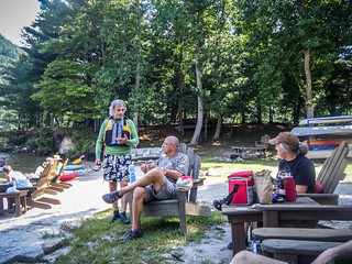
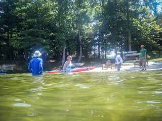
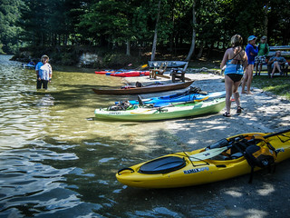
Our lunch destination was at a club house for some housing development. In addition to the beach there were Adirondack chairs, and we had access to restrooms in the club house. There was also a pool and other amenities. We just took advantage of the beach and chairs.
We had only been paddling for a very short time, so it seemed odd to me to be having lunch. I was also still sick from the loss of a camera. However, it was after noon, so the timing was correct.
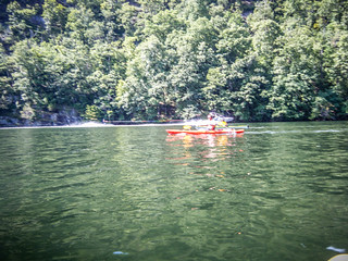
As we ate we spotted several other paddlers. It turns out that there were a few latecomers who joined us. Ultimately, our group would swell to eleven paddlers, including myself. There were more introductions, and some of us decided to take a quick dip in the VERY chilly waters.
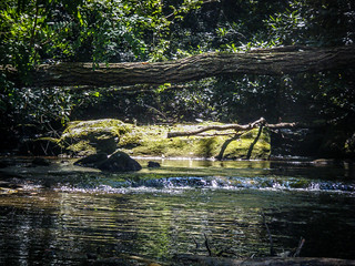
Our expanded group continued on our way. As we paddled I was amazed at how clear the water is. The lake bed is rocky, with very little silt, so the visibility is amazing.
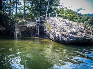
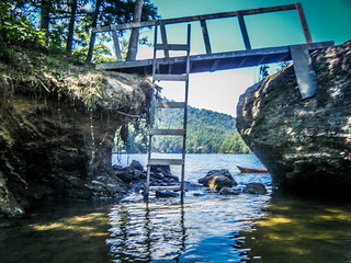
Our first target was a small island in the middle of the lake. It looked like a perfect place to hang out and camp or swim. A make-shift bridge connected the main island to a small boulder, which I guess could be used for diving.
However, we didn’t linger. We headed up a small cove that had looming rocks on the hills above. The next destination was Sols Creek Falls.
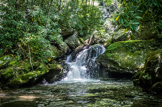
A small set of falls plummets into a deep dark, green cove. The water remained clear. We parked the boats and explored the falls.
I must admit, I was a bit disappointed at the touted falls. Rich and Lisa continued on up a trail, but everyone else was heading back to their boats. I found myself caught in between. Not knowing anything about the trail or what was up there, I headed back to my boat. We waited and waited for our organizer to return, but it was taking quite awhile. Another paddler, Jerome, and I continued on up the lake. We had faster boats than the others, so I knew we could get back to them quickly. We found a little cove with another stream entering the lake.
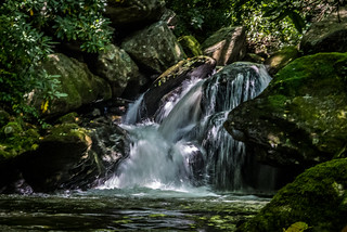
As it turns out, we had missed the main falls. Rich and Lisa had hiked up to view them, and the rest of us missed out. Here’s a photo of the falls from Rich Stevenson’s (not the same Rich) excellent North Carolina Waterfalls website:

Photo by Rich Stevenson
NCWaterfalls.com
We continued on upstream. The leaves were showing hints of autumn, but the trees weren’t yet changing color. I bet this place would be spectacular in October, and I may try to come back.
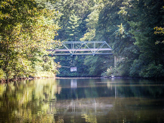
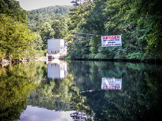
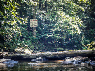
One by one our fellow paddlers dropped out until it was only Rich, Lisa, and me moving forward. I wasn’t going to be left out this time, so I stuck with them. The lake narrowed down to the width of a river, with some rocks and limbs to dodge. Eventually we reached a small single-lane bridge with a steel truss structure. Beyond that was a warning sign, and a power station. Rich and I paddled as far as we could until we reached the entrance of Bear Creek into the lake.
We headed back, paddling fairly quickly. By this time motor boat traffic was really picking up. There were several pontoon boats, bass boats, and even a couple of ski boats. When we reached the waterfall cove, another covey of kayakers joined us. They had just come from the falls. Even though they weren’t in our original group, we had another set with which to paddle.
We found most of our original group back at the island. They were hanging out, waiting for us and enjoying the cool water. Several of the others had already returned to the landing.
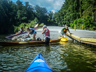
From the island we paddled pretty much straight on back. There was one pause at the spot where I lost my camera, but, again, it was hopeless. As we headed back boat traffic got worse. The problem with such a narrow lake is that boats with large motors are really disruptive with wake. This would be a much better trip on a week day. We had to wait at the boat ramp as other boats landed and launched. This is obviously a place where Duke Power could put in a little beach specific for paddle sport launching.
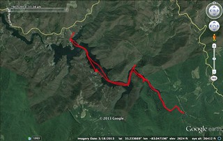
In all, we paddled 10.8 miles. It was a great trip despite the loss of the camera, and I met lots of new paddling companions. I’ll give a shout out to Ellen, who told me she was on the trip because she is a reader, and wanted to meet me. It was nice knowing that someone actually reads the drivel I write here 🙂
Here is the slideshow from the trip…
[fsg_gallery id=”16″]
As paddling venue, Bear Creek Lake is excellent. It’s a bit further drive from Greenville, but no farther than Lake Marion or any of my other Lowcountry haunts. Bear Creek offers all of the amenities of Jocassee, but without the wide open spaces and long distances. There were several coves that we didn’t hit, but if we had launched earlier in the day I think we could have explored the entire lake. As a smaller lake, I would have no problem with doing a solo paddling trip up here. I just hope that development doesn’t spoil this amazing views.


Thanks Tom for the great write up of yesterday’s paddle. Wish I had hiked to the top of the falls too, next time. It was great to met you and now when I read your blogs I will have a “real” person to associate the article with. Please keep them coming. Helps us explore and learn the area.
Sounds like a spectacular day (in spite of the GoPro)! Sorry I missed it. Wonderful photos, as usual!