Since Laura had gone to the northwest part of the country, I decided to head to the northwest portion of the state. When I first got up I faced a dilemma. I knew I wanted to get out and about, but I wasn’t sure which direction. Fall leaves are at their peak in our area, but I suspected that the mountains were about done. I had thought I might head toward the mid-Piedmont regions, specifically Rose Hill State Park in Union County. However, I couldn’t think of many destinations or photo ops in that direction, so the northwest won out.
I had gotten up early thanks to the time change. I grabbed an overly large breakfast at Stax, then took a westward tack toward Clemson. The idea was to ride up towared the Highlands, NC area. When I came to the intersection of highways 123 and 178, I decided to see what was in the town of Liberty.
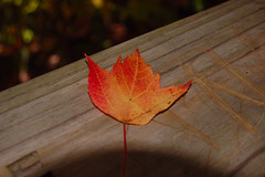
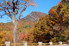
Liberty is a quaint little town, but I cruised through since I wasn’t sure of the time I would have available. The leaves were, in fact, spectacular. I had to resist the urge to just point the camera out the window and shoot every tree with color. I drove through the nearby town of Norris, then detoured through the tiny town of Cateechee. This place was amazing. It’s a tiny spot in the road with only one entrance off of the highway. The road loops back around, taking the stray visitor back out the way he or she might have come in. At the entrance to the "town" was an abandoned school building that could easily serve as a setting for a Ghosthunters episode. I could see no reason why this place exists – no mill or other industry to account for what was obviously a very old community.
My route took my past the Lake Keowee and the Oconee Nuclear Station. I turned in, but the World of Energy center wasn’t open, so I continued on. Soon I was in Walhalla, "Garden of the Gods." It always amused me to think that some Norse god was going to be very disappointed upon his arrival in South Carolina. I took Highway 28 north out of town and into some wonderfall fall foliage.
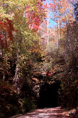
Just north of Walhalla is Stumphouse Tunnel and Issaqueena Falls. This was my first target for the day. Stumphouse Tunnel was supposed to connect the upstate of South Carolina with North Carolina. Had it been completed, I’m sure the landscape of our state would be much different.
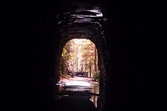
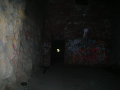
I came prepared with my headlamp and big Maglight. The entrance to the tunnel was dripping, with a narrow path that was dry. I didn’t really need the light until I got to the first barricade, some 100 feet into the tunnel. An iron grill and gate can be locked to close off the rest of the tunnel, but this time it was open, so I continued on.
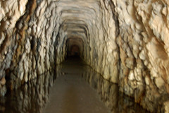
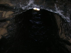
About mid-way into the tunnel is a vertical shaft, apparently for ventilation. The shaft is about 15 feet across, and light pours into the dim space from above. So does lots of water, especially if it has recently rained (as it has this time.) I gingerly stepped through the puddles while shielding my camera, then came to the next obstruction. A cinderblock wall blocks the rest of the tunnel with a small doorway in the righthand side. It was open, so I kept going. There was a raised pathway through some deep puddles in trenches on either side. The tunnel seemed even darker since I could no longer see the entrance. I made it all the way to the very end of the tunnel.
At the end of the tunnel, there is a 20′ rise that is easily climbed, and the tunnel extends back another 30′ or so on a shelf-like structure. I have climbed up there before, but this time it was wet, slippery, and I had expensive camera gear with me. I was content to stand in the dark and contemplate things. As I stood, something flitted past, then another something. I turned my lamp upward to see the ceiling covered with bats. There were only one or two checking me out, so I decided not to disturb them further and made my way back out of the tunnel.
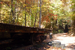
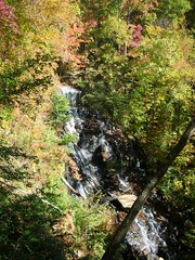
I paused to take some shots of an old railway flatbed car, then headed to the next attraction, Issaqueena Falls. Issaqueena was a Choctaw who was enslaved by the Cherokee. It is said that she lept to her death from the falls over a lost love. As I’ve mentioned in previous posts, this seems to have been an epidemic in this area. From the legends, one would almost deem that the leading cause of death of young Indian maidens was leaping from high places because of some dude. The falls were spectacular, with views extending out over the Upstate foothills. I took a few photos, not thrilled with the lighting, then continued on my way.
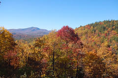
I continued up Highway 28 through the community of Mountain Rest, and eventually reached the Chattooga River. I pulled over and watched a father and his son pull in a couple of nice trout. The last time I was at this spot, I was putting a kayak in the water. Highway 28 took a brief turn into Georgia as it crossed the Chattooga, then plunged into North Carolina. About three miles out of Highlands, NC, there was a turnout with amazing fall foliage and a clear view of Satulah Falls on the other side of the valley.
Highlands was extremely crowded for such a small place. The last time I was here it seemed to be only antique shops. Now there seem to be more art stores and unique gift places. We may have to come back. However, it does have the appearance of a very ritzy place. I even saw one woman dress in a long fur coat with a fur hat, a tad overdone for today’s weather, but I guess she’s making a point.
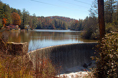
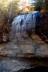
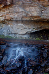
I didn’t pause in Highlands, but kept going, now on Highway 64 towards Franklin. I paused to take a picture of the falls at the dam on Highland Lake, then soon reached Bridal Veil Falls. In the past, one could drive their car under the falls. A rock slide has made that impossible now. The falls themselves are dainty compare to others I was to see today.
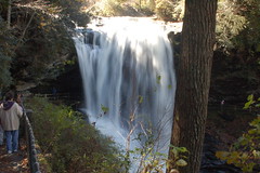
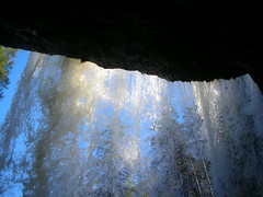
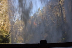
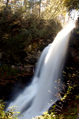
There were a couple of sharp bends, and before I knew it, I was at Dry Falls, so named because one can walked behind the falls and stay dry – sort of. The place was packed, but I managed to find a spot to park and hiked on down. I took tons of photos here, but few actually turned out to my satisfaction.
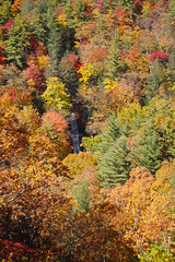
The road through the Cullasajah Gorge is treacherous. It’s narrow with sheer drops and rock walls. It seemed like a challenge to get by another vehicle on some of the turns. I managed to catch a couple of pull-outs on the other side of the road to view and photograph some rapids on the Cullasajah River, then the Cullasajah Falls themselves.
I finally made it to Franklin, and planned to stop for lunch at an inviting place on Main Street. It was overflowing, so I decided to continue on down Highway 441 to Clayton, Georgia. That didn’t turn out quite like I planned, either. There was road construction, so the trip down was stop-n-go most of the way. I saw very little that was enticing enough to get me out of the traffic, only to have to try to get back into it. I continued on down to Tallulah Falls.
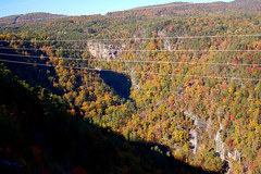
Finally the traffic let up. I had lunch at an outdoor table at a neat little cafe in Old Tallulah Falls, then drove to the Tallulah Gorge Overlook. At one time, this place charged admission to their porch with views of the gorge. With the opening of a state park on the other side of the gorge, I guess they decided they could make more money on snacks and trinkets, and let the public in free of charge. The view would have been great, if it hadn’t been for the power lines running across.
As with most of my ramblings, I tend to get overambitious. I had hoped to stop by Bull Sluice on the Chatooga and Chauga Falls on the Chauga River. By this time I was dead tire. I made my way through Toccoa, then back across to Westminster, Seneca, and Clemson, then home.
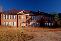


I live not far from Cateechee and the building pictured is an old school building, built in the ’20’s and closed in the ’70’s. On the same one way in, one way out road, if you had paid attention, there is an old cotton mill on the river.