This was my first week of four long days of work and Fridays off. This particular Friday I decided to get a jump start on the Father’s Day weekend and run down to see my father.
One thing I inherited from my dad is a love of rambling. Our family has some legendary tales of getting lost on dirt roads up in the mountains. We also would head out and explore all of the country roads around Laurens County. My mother, in particular, loves little dirt country roads – the more remote, the better.
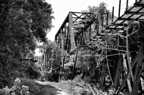
That being said, this visit wouldn’t be complete without a bit of a drive out into the countryside. Back in February we had taken a similar drive. Back then we were rambling aimlessly. This time, we had a couple of specific targets. Mom really wanted to find a particular historic church she had visited, and I wanted to find an old railroad trestle that was supposed to become part of the Palmetto Trail. We were semi-successful on both counts.
We headed eastward, toward the communities of Pomaria and Peak. Our route took us through some lovely farmland on a high ridge. We took Highway 176 south toward Columbia through the town of Pomaria. South of there we spotted a sign for the church we were seeking.
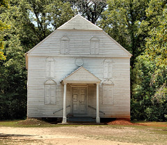
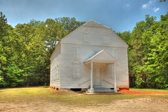
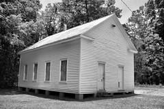
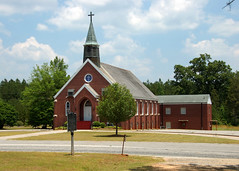
St. John’s Evangelical Lutheran Church (map) was founded in 1754. A white-frame building built in 1809 still stands on the property, along with a white-framed school building. The old church was closed up, but one can easily see windows where the slave galleries were located. The current building is a brick building built in 1950.
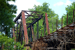
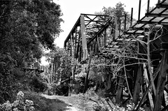
From St. Johns we drove toward Peak. We had drive through the little community on our last trip. This time I wanted to find the bridge that crossed the Broad River into Peak. We drove east on Highway 213, crossing the Broad. From the highway bridge, I could see the old steel trestle bridge to the south. We turned onto the first little road southward after crossing the river.
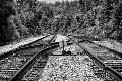
Our road was small to begin with, but then it dwindled down to a dirt road. Mom was in heaven. Our road crossed two lines of active rails, then curved back toward the river. The road actually wound under the trestle (map). From below I could see that the bridge was gated with No Trespassing signs. It didn’t look like there would be a way to walk across it for good views. Similar Posted signs lined the road.
We continued along our dirt road, cresting a high ridge. Along the way we spotted a couple of deer, as well as several deer stands. The road finally ended at a very large modern house, hidden back in the wilderness. We turned around and retraced our steps.
Despite not being able to enter either of our target locations, we consider the trip a success. We found the locations, and enjoyed some nice scenery along the way.
I believe that is the Lutheran Church that several other people have told me about. There was an old post road across that area – can’t remember if it went through Joanna or Pomaria; but it was shown to me on I 26 on the way to Synod assembly. Went from 96 to Camden.