
I haven’t done much paddling with the Greenville Canoe and Kayak Meetup lately. Since they merged with the Asheville organization the group seems to have lost its identity, having been subsumed into that group, and many of the trips just didn’t appeal to me. However, one scheduled for this past Saturday really caught me eye, and I decided to give it a chance. It turned out to be a perfect day paddling on Lake Jocassee, and I’m now glad I gave them a shot.
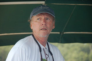
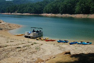
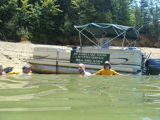
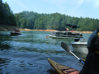
Brooks Wade, owner of Jocassee Lake Tours, had offered to load our kayaks onto his pontoon boat and take the group to the upper reaches of Jocassee. The area is hard to reach unless you’re a very strong paddler with a very fast boat, or unless you break the trip into a two-day venture. But the rewards are spectacular – waterfalls and pristine mountain scenery. Of course, I couldn’t pass this up.
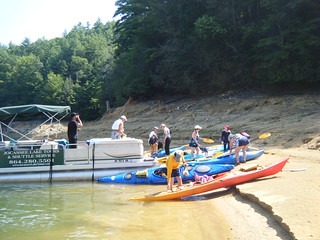
We were to meet at the far boat ramp for departure at 10:00 am. Since this was a holiday weekend, I expected parking problems, so I arrived quite early and began unloading my gear. I wasn’t alone. Several other groups were also offloading gear and getting ready for departure.
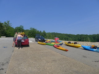
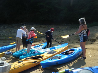
Soon I was joined by Kathy, Debbie, and Erna from Asheville. Brooks arrived with his pontoon boat. Sarah and George, then Jim, all three from Asheville, also arrived, and Larry from the Reidville area rounded out our group – nine paddlers in all. Only Larry and I had paddler together before, first on the Lake to Lock paddle at Pinopolis, then on our very first trip into Sparkleberry Swamp.
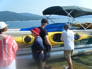
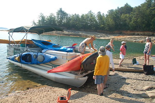
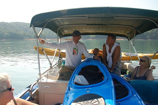
We strapped mine and George’s boats to the side of the pontoon and loaded up the others as best we could.
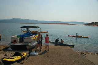
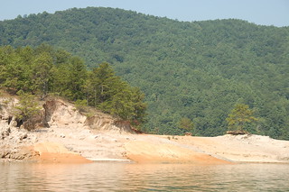
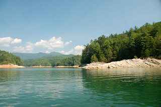
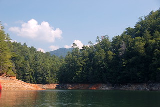
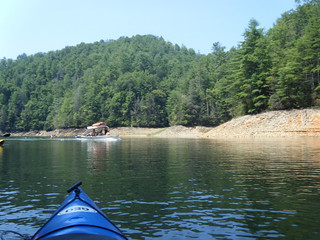
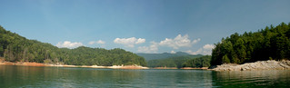
Brooks is a master naturalist, and provided us a running narrative as we made our way up to the “Three Rivers” area of the lake. The lake was very, very low – nearly 28 feet below full pool. There was lots of interesting geography exposed.
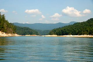
When we arrived Brooks pointed out the three rivers – Laurel Fork Creek, the Toxaway River, and the Horse Pasture River. He gave us a bit of the history of the area, describing how this was once a pasture used by the Cherokee.
As it turned out, I had the longest history with the area of any of our fellow travelers. In the 1960s before the area was inundated, Dad had taken us on several treks through the area. All I remember were lots of twisting dirt roads through mountains. But it meant that all of the other passengers, our tour guide included, were relative newcomers.
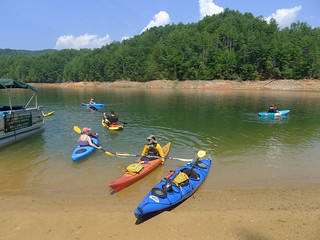
We continued up the Horsepasture River arm of the lake and found a nice beach upon which to land and unload the boats.
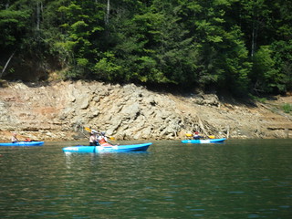
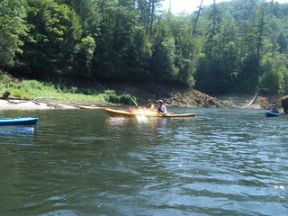
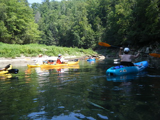
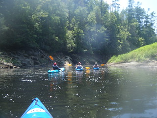
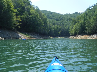
We mounted up and headed up the Horsepasture River, admiring the scenery along the way. It was hot, and I was tempted to stop at a couple of deep pools and jump off rocks into the water. Soon, though, we were at a buoy marking the North Carolina/South Carolina state line.
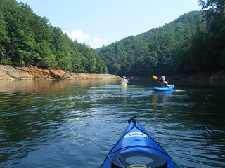
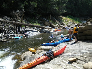
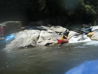
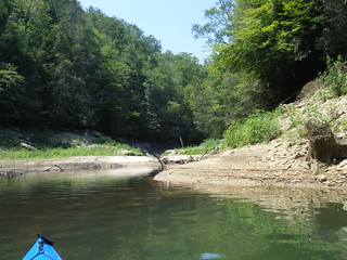
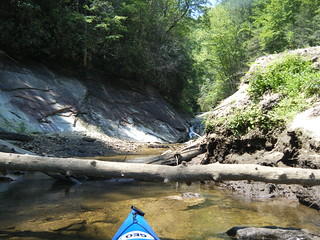
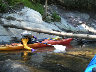
The river narrowed significantly but we pressed on. A ski boat with a float on top of it passed us, also heading upstream. Eventually we had gone as far as we could, and found the boat park at the falls which mark the confluence of the Horsepasture with the lake.
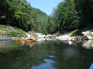

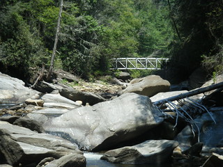
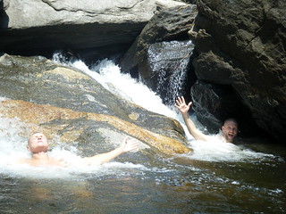
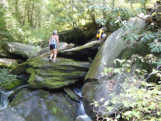
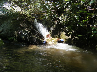
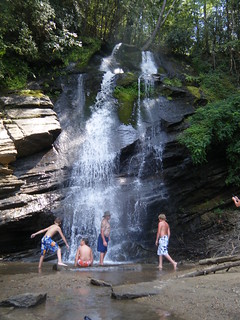
We pulled the boats up on the rocks and got out to explore. As we boulder-hopped upstream we were treated views of falls and of the bridge that spans the river on the Foothills Trail.
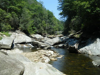
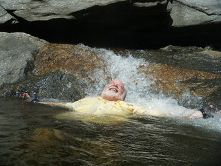
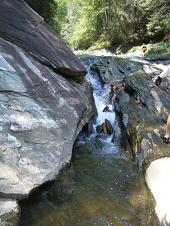
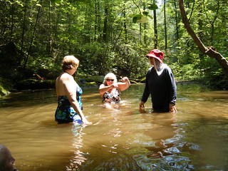
The river formed a series of drops and pools, perfect from cooling off. We waded and even stuck our head under several of the falls.
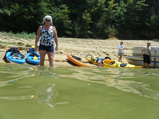
Reluctantly, we loaded back up and headed on back out. We paddled back downstream and made our way back to our base camp at the pontoon.
Back at the boat we pulled out lunch and watched the boat traffic ride past. From what I could tell we were the only kayaks in the area.
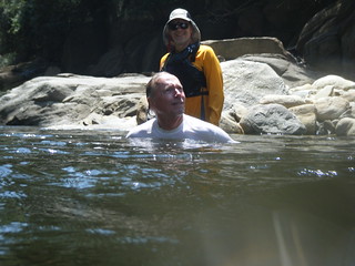
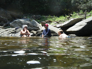
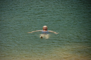
After lunch we violated the prime directive – we didn’t wait an hour before hitting the water for a swim. Sitting in the cool water was began telling stories, and it seemed that everyone had a fascinating tale. Even though it was a one-day trip, this group had really begun to bond.
It turns out that Erna had the most fascinating tale. She had been a medical doctor in Russia. In the 1980s she was serving on a Russian ship that was passing through the Panama Canal. During the passage she jumped off of the ship and swam to freedom. Somehow she made her way to Chicago, where she lived homeless on the streets for awhile. She said that she was able to practice medicine again, and now lives in Asheville.
After the stories and cooling off it was time for more paddling. This time we headed up the Bear Camp Creek branch of the river. As with the Horsepasture River, the channel narrowed until we could paddled no further.
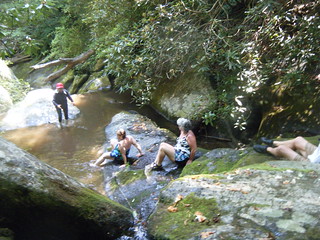
Also, as with the Horsepasture, there was a series of falls and pools. The route up was significantly steeper, but we climbed up a good ways until we found yet another nearly perfect wading hole.
Once again, the time passed quickly, and we needed to head back. We got back into our boats and headed back downstream, retracing our steps.
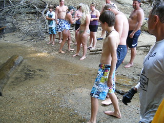
We had one more stop. I had spotted Mill Creek Falls on the way in, but we deiced to pass by and catch it on the way back. With the water as low as it is, Mill Creek was the only falls accessible by motor boat, and on this hot Saturday it was crowded.
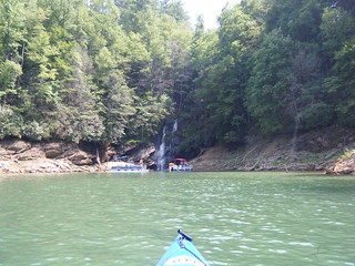
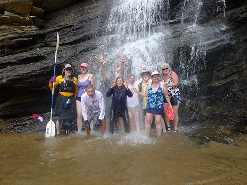
Folks were lining up to stand under the falls and have their pictures made. We were no different.

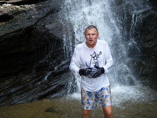
Of course, we had to pause for a group photo. This had to be some of the coldest water on this hot day. Getting back into the lake was almost like getting into a hot tub by comparison.
We paddled back to the pontoon and loaded back up for the ride back. This was certainly a perfect way to explore these far reaches of the lake. My paddling companions were fantastic, and we met some great new friends out on the water.
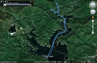
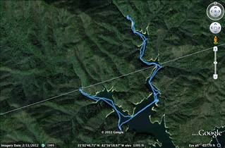
The maps below show our routes. According to the GPS, the entire route was about 20.7 miles. We actually paddled 6.7 miles of that.
I took tons of photos. Of course, I can’t post them all one by one, so here’s a slide show…
Need to connect with this group for this type paddle. We went to Lake Jocassee for an Easter Paddle and it is a large lake with a personality of its own. What an awesome trip. So glad you posted this trip.