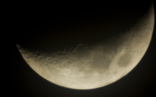
Google brought us the earth, then the sky. So it was natural that they turn their sights to the moon. Unlike Earth and Sky, Moon is not a separate application, but is accessed online similar to their Maps program. Users can zoom in and out (to a certain extent) and can pan across the terrain (lunarain?) Those familiar with the Google Maps interface should have no problem using Google Moon.
Another different between Moon and Google’s other mapping systems is that users cannot create their own placemarks. However, they do provide their own placemarks for areas of interest. There are four layer buttons that activate different types of information. These toggle similar to the Street View layer in Maps or the Map, Satellite Hybrid buttons. The program defaults with the Apollo mission layer activated, with placemarks showing various landing and exploration sites. There are also layers for various charts and color enhanced elevations.
This isn’t really a new development. For some time now third party developers have been creating image overlays for Google Earth that turn Earth into the moon and Mars. While these have been really cool, they can be a bit unwieldy. Depending on the level of detail, the overlays can be very large to download, and may cause Google Earth to run very slowly. Also, the extent to which one can zoom in is very limited. Global views work much better.
Google Moon is an interesting addition to their stable of mapping programs. I’m betting that it won’t be too long before we see this data integrated into their Google Earth program, but for now it’s still very, very cool.
[tags]moon, Google Moon, Google Earth[/tags]
