Sunday was my birthday, and it was going to be tough. In addition to the realization that age is rapidly advancing, Laura had to leave last week to go assist with her mom, which meant I was on my own. This was also the first birthday without my own mother, and her usual phone call would be sorely missed. I decided that rather than mope around the house, I was going to head out on an adventure.
If you’re approaching Greenville along I-385 on a clear day, off in the distance is a striking angular peak. At 4390 ft above sea level, Whiteside Mountain isn’t the tallest peak in the Appalachians by any stretch of the imagination. However, it does boast the largest exposed granite cliffs of any in the Blue Ridge. Back in my rock-climbing/rappelling days the sharp peak always intrigued me, and always seemed slightly out of reach. While I did lots of climbing and rappelling along Glassy Mountain (before the desecration of The Cliffs), Devil’s Courthouse, and other points in the Blue Ridge, I never made it to Whiteside Mountain. I decided that would be my goal for the day.
I knew I wanted to head out somewhere for the day, but at first I was undecided. The Geminid Meteor Shower always occurs right around my birthday, and I’d thought about heading out to see it. The skies certainly were clear, and the weather spectacular. However, our annual Greenville Chorale Christmas Concert usually falls on or about my birthday, too. Worn out from a week of rehearsals and concerts, my birthday was also a reminder than I’m getting too old to pull many all-nighters out in the wilderness.
I didn’t get up to watch the sun rise from a mountain peak, as I have in the past. In fact, when I did set off I was headed in completely the opposite direction. My intent was to explore somewhere southward, yet to be determined. However, I caught a glimpse of the mountains while stopping for gas, and decided that’s where I needed to be.
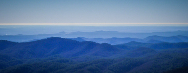
I drove up through the town of Pickens and eventually connected to Highway 11. On the other side of the lakes I headed on up toward Cashiers, NC. I made a quick pause to snap a shot at the Wiggington Road overlook.
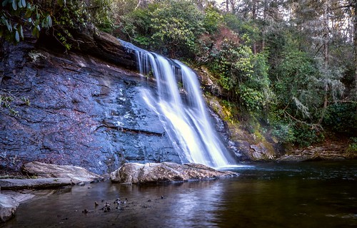
Just before reaching Cashiers is the pull-off for Silver Run Falls. This is quickly becoming one of my favorite falls. It’s easily accessible, and there’s almost always a good flow. I’d visited in the afternoon, but wanted to see what the morning light was like.
As I parked my car and reached for the camera I made a terrible discovery. While I was careful to pack tripods and my long lens, I had left my Nikon D7000 at home. That included all of the spare batteries for my GoPro and Lumix. I was stuck with a GoPro with no juice, a Lumix with limited battery life, and an iPhone. Oh well. Obviously I wasn’t firing on all cylinders when I started out. I couldn’t head back at this point, so I would have to make do.
The falls were sheltered from the rising sun, so it was still a bit dark. This let me do a bit of longer exposure photography. I set the ISO down to 80 on the Lumix and turned down the aperture as low as I could on the little point and shoot.
I headed on up to Cashiers, stopping briefly for another cup of coffee. I took Highway 64 westward the few miles over to Whiteside Mountain Road. I couple of twists and turns, and I found myself at the parking area for the trail maintained by the National Forest Service.
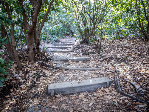
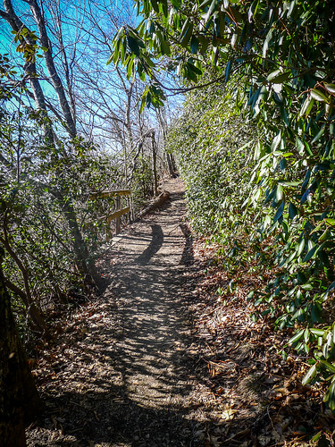
It was a chilly, but spectacularly clear day when I set off up the trail. I was beginning to think that my forgetting the big camera might actually be a blessing. The two mile or so hike would be easier without as much weight. The first several yards, especially, started up a very steep, stepped trail, and I was wondering if all of the trail would be like this.
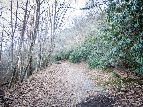
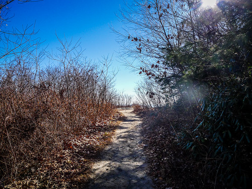
The steep steps soon reached a much wider loop trail. The obvious route was off to the left, so I set off in that direction. The trail was rocky, but wide. There was a definite uphill climb, but it wasn’t too bad.
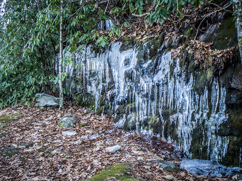
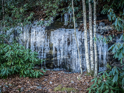
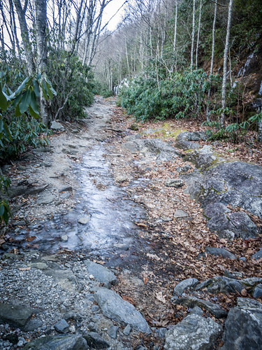
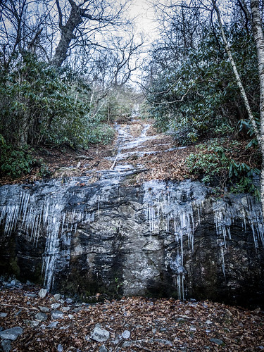
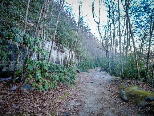
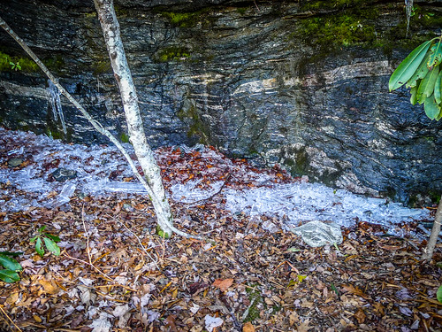
The trail runs eastward along the north side of the mountain, and is sheltered from the sun for most of the day this time of year. Exposed rock surfaces had lots of icicles, and there were some icy patches on the trail itself where water had run off and refrozen.
I could see more large ice sheets on the rock faces above. I came to a place where there had been a rock slide in the past. It looked like a frozen waterfall. I had just crossed that area and was about twelve feet past it when I heard a large cracking/crashing from above. I turned to watched huge head-sized chunks of ice crashing down to where I had just been.
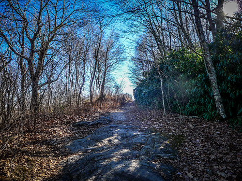
The trail continued to climb. I knew I was getting closer to the cliff face because it was getting warmer (and I was getting hotter with my fleece) and I could see clearing ahead.
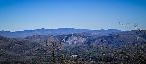
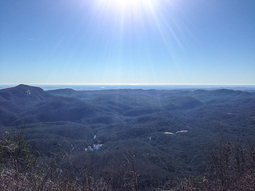
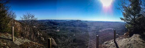
Eventually I reached a prominence where the trail turns sharply back toward the west, along the south side of the mountain. At this point there was an overlook with an interpretive sign, and views back over the Sapphire Valley to the east and across the Piedmont to the south.
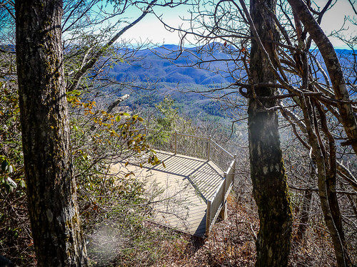
A few yards along the westward trail there is a cantilevered overlook that hangs out over the cliff a bit.
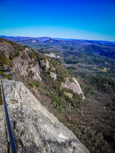
As you can imagine, there were some incredible views from this point.
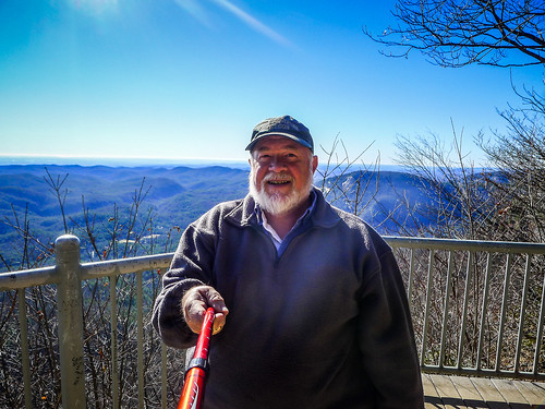
Since I’d left most of my gear at the car I improvised and used my hiking staff as a selfie stick with my Lumix.
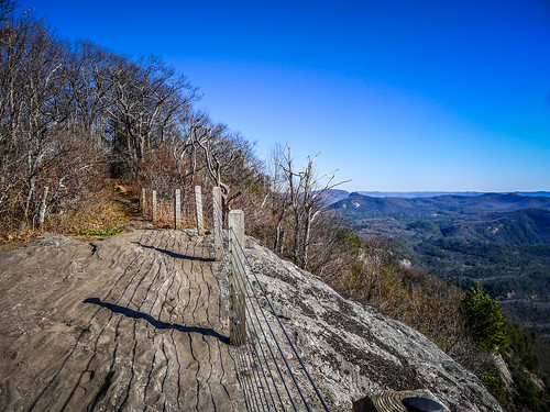
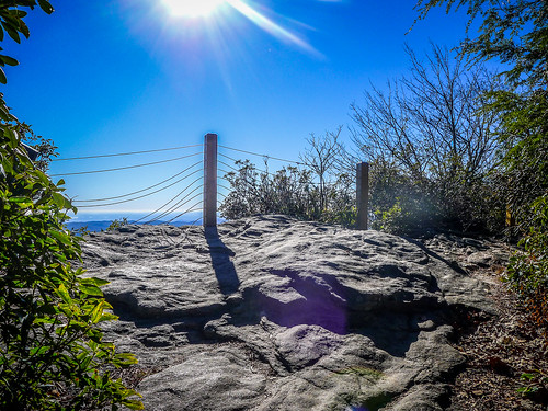
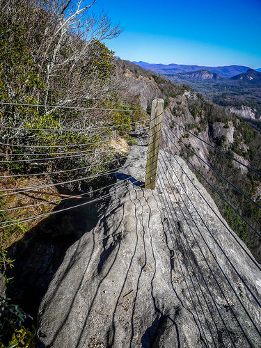
There was a short set of steep steps and the trail continued to the west. At this point the trail skirts the knife-edge of the mountain ridge, with views both north and south. I reached another outcrop with a steel cable barricade to keep the unwary from falling over the cliff.
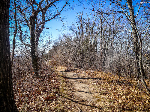
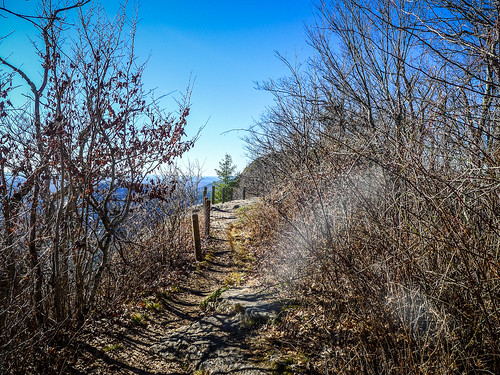
At this point the trail followed the cliff ridge, with views and outcroppings all along the way. It was hard NOT to stop and take photos of everything.
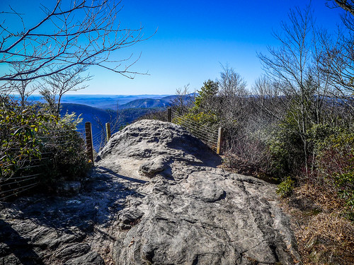
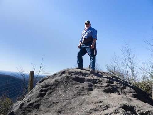
I reached a point where a granite mound projected above the cables and the rest of the trail. I think this was the very peak of the trail, and was a perfect place to pose and play King of the Mountain.
At this point I began to encounter other hikers. However, they were coming from the OTHER side of the mountain. The loop trail descends/ascends around the north side of the mountain, and is steeper and more strenuous. Many hike the strenuous part first, then take the easy way down. I briefly contemplated hiking down the strenuous section, but since I had some time constraints and a bum ankle, I decided to go back the way I came.
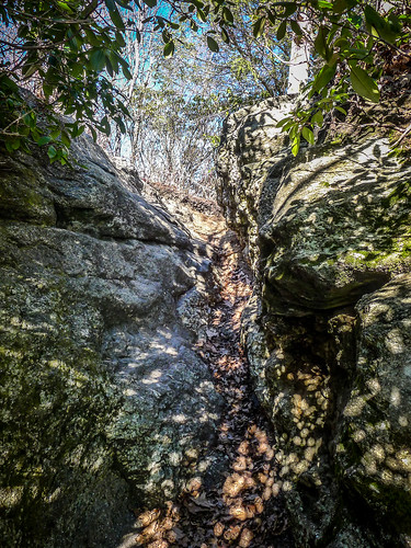
I did, however, scrambled through a rock cleft on out onto another prominence. This gave me even more views of the cliff.
I stood there for awhile reminiscing about my climbing days. I could see cracks and chimneys that would have been very tempting. I don’t know if I’d have the guts to do it again or not. I still have 300 feet of Bluewater II rappelling rope in my basement, but after 30 years I don’t think I’d trust my life to it now.
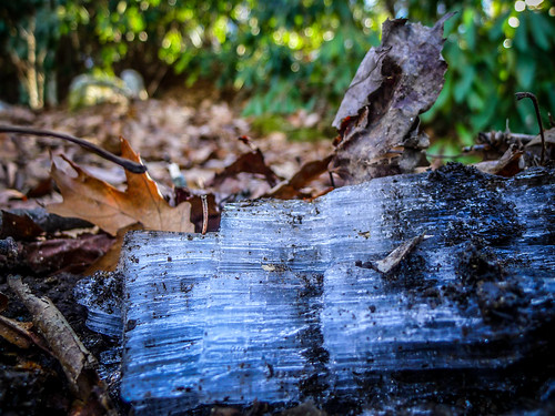
I ceased my reveries and began the hike back down. Even though it had warmed a bit, there was still ice all only the trail. Many of the icicles had fallen, though, and lay in chunks at the bottom of the rock faces. Hoar frost still crackled under foot.
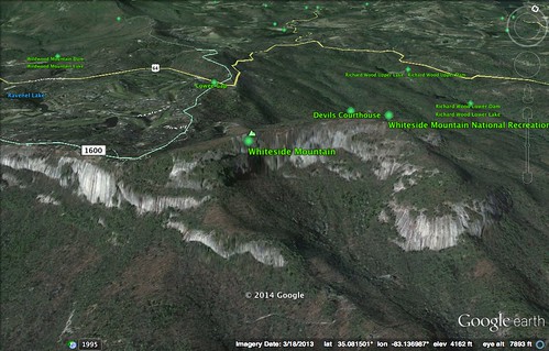
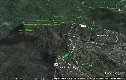
When I got home I did check out the area in Google Earth. It looks like half the mountain has been preserved, but the other half has succumbed to development a la Cliffs at Glassy. That’s obvious in the GE imagery, where you can see a clear demarcation line.
I made it back to the car, and made it back in time to attend the Lessons and Carols service at Furman. The Furman Chamber Choir always does an outstanding job, and this is one of my favorite services of the year. Afterwards I had a meal of Pad Thai at Thaicoon, then finished up the birthday celebration with a martini in the hot tub. I even spotted a few latent Geminids in the clear winter sky. Even though it was spent mostly by myself, it was a good day.


