Kayakers – 3
Weatherman – 0
This makes three trips in a row where there was an iffy weather forecast. In each case, if we had followed The Weather Channel’s advice and canceled the trip, we would have missed out on a fantastic day of paddling. You’ve got to pay attention to the weather, but a 60% chance of rain doesn’t necessarily mean a bad day on the river.
Following on the heels of our last successful Enoree trip, David and Rick wanted to paddle another stretch of the river. They had done some scouting, and found a stretch starting at Whitmire that had great river access points. Add to that the fact that David had a new kayak to try out, and we had to put together another trip.
This was going to be a much smaller group than last time. Since the paddle route was longer, this just made sense. We would be joined by Dave W, a good friend of Rick and David’s, bringing our number to four.
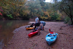
It looked the weatherman was going to win this one. It started raining Friday night, and by Saturday morning it was still cloudy and threatening. As I drove southward I saw some clearing to the north and west, but the area where I was headed still was overcast. When I got close to Whitmire, it started dumping, and it continued to rain while I had breakfast. However, when I got to the put-in, it looked like things were improving. There was a bit of light rain as we unloaded the gear and ran the shuttle, but that was about it.
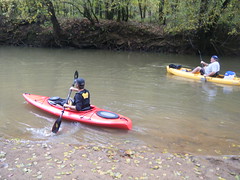
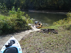
The put-in is on a forest service road just off of Highway 121. Boat ramp 339 is a dirt ramp at the end of a dirt road. It’s well-maintained, and is great as a paddle launch site.
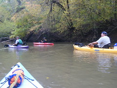
When we headed out David and Rick said that the water levels had been up at least a foot and a half higher just last week when they came by. Rick wondered if the power station at Parr Shoals would affect the water levels all the way up here. With the rain we’ve had, I don’t have another explanation as to why the water levels would have changed so dramatically. Still, the current was good, and the levels were good enough when we set out. There were some low spots similar to the Tyger, but we figured out how to spot and avoid them.
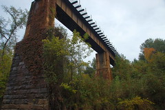
Before long we reached the railroad trestle over the river, then the Highway 176 bridge. There is no river access at this point. In addition to traffic sounds from the highway, we could hear activity in the town. A one point we heard a siren, and I figured it was the noon siren that one hears in many small towns.
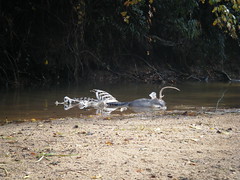
About a mile downstream we came across a deer carcass in the river.
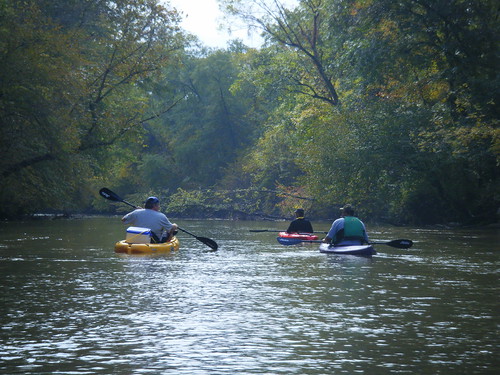
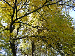
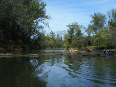
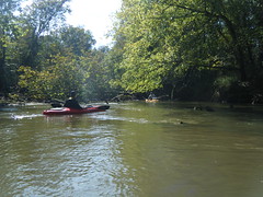
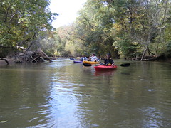
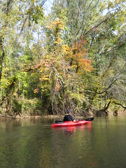
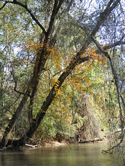
As we continued to paddle the sky started to clear. The colors of the leaves were just about at peak, and it was starting to be a beautiful day on the river.
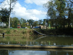
This stretch had many more signs of habitation than the portion of the river we paddled a couple of weeks ago. Even though we were paddling through Sumter National Forest we passed pastures and some picnic areas.
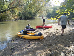
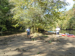
We had gotten on the river around 10:30, and before we knew it it was time to stop for lunch. We found a nice little island with wide beaches and pulled up there.
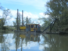
About half way through our paddle we came across a dredger operating almost all the way across the river. The operator was quite friendly, and we chatted a bit, then continued on our way. Past the dredging the river got very deep and a bit wider. The current continued just as strong as ever.
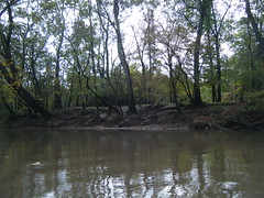
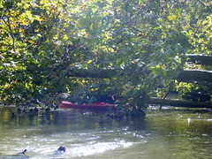
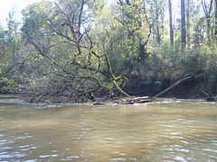
At this point the river became quite tricky. There were lots of deadfalls and we still had a pretty good current. The rangers had told David and Rick that they had come through and clear out a path, and we found that to be the case. The river would appear to be blocked, but we always found a route through. At least we got a chance to practice our paddling and maneuvering skills.
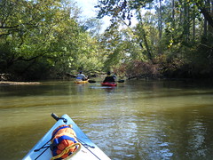
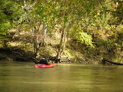
The fall colors were really starting to come through. I wanted to stop and take lots of shots, but I had to keep paddling.
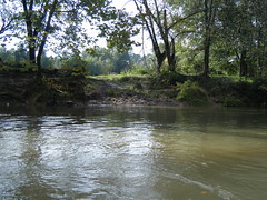
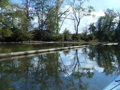
The last stretch of the river was a bit clearer. Higher bluffs lined the banks.
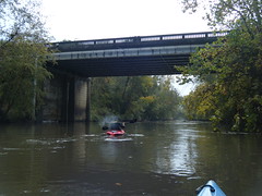
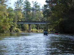
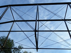
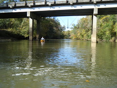
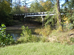
Before we knew it, we were approaching Brazleman’s Bridge, and our take out. From this angle, it looked like the bridge had old steel girders, but I didn’t remember seeing any when we ran the shuttle. It turned out to be an optical illusion. There is an older bridge just upstream, and the angle made it look like one bridge.
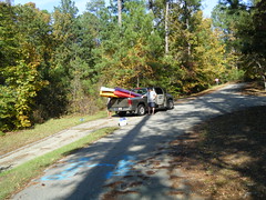
The take-out at Brazelman’s Bridge is paved and very well maintained. There is a nice parking area.
We reached the ramp at exactly 4:00 pm. The route was about eleven and a half miles long, and we paddled at a fairly steady rate. Despite the threatening rain, we had a great day on the river. It was a good thing we hadn’t listened to the weatherman.
