August 12, 2013
Laura had never been to West Virginia. I had only crossed over the border in the mid 1980’s just to say I had been in that state. We really didn’t know much about the state, except that there were coal mines somewhere. A couple of Laura’s colleagues are from West Virginia, and before we left, had told us that there were some places we really needed to check out.
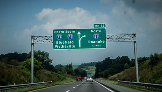
With the meteor expedition having been a bust, we decided to head on up into the mountains and cross over into West Virginia. We drove through a piece of Virgina on the Interstate, roughly repeating our trek from last summer when we headed up for Katie and Aaron’s wedding. However, instead of turning northeast toward Roanoke, we headed south…maybe. On the same road we were headed south on 81, but north on 77. It was a geographical oddity.
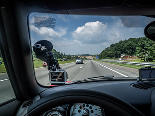
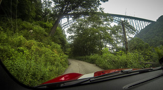
We drove through a long mountain tunnel on the Interstate. I knew we had to go through one to get to WV, but this wasn’t it. This was the Big Walker Mountain Tunnel, and we still had a ways to go. At a rest area I decided to pull out the GoPro camera and mount it to the windshield. I figured it would be cool to have it running as we crossed into West Virginia.
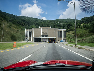
Soon we reached the East River Mountain Tunnel and the passage to the next state.
The tunnel was quite long, and I did get video of us going through the tunnel and coming out through the other side.
On the West Virginia side we continued on to Princeton and stopped at the West Virginia Information Center. It looked like we could make it to the New River Gorge, a place I’d wanted to visit for quite awhile. We did a quick lunch in Princeton, then took secondary roads to Beckley. Unfortunately, it was taking a lot of time on the secondary roads, but we continued on. Highway 19 out of Beckley was a but larger, but was still slow going. We passed through several smaller towns on our way toward Fayetteville and the Gorge.
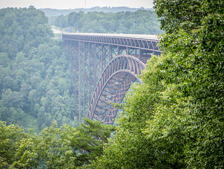
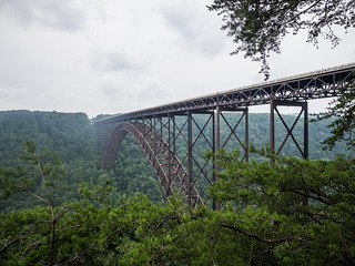
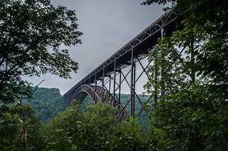
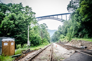
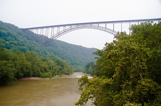
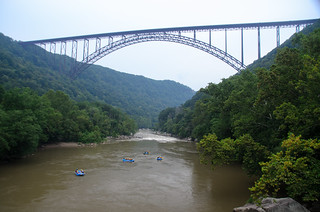
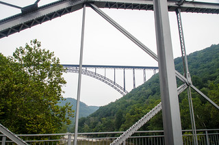
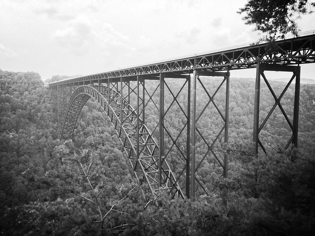
We reached the New River Gorge about 3:30. The bridge ahead looked like just any other bridge, rather than the highest single arch bridge in Eastern United States. Once we got on the bridge, though, it was quite breath taking, especially looking to the side from our convertible. The video from the GoPro only looks forward, and doesn’t really show how stunning the view was.
We pulled into the visitor’s center and overlook just on the other side of the bridge. At the center we looked at information about coal mining and lumbering in the area, and the need for the new bridge. One of the rangers gave us an audio tour CD that would lead us down the old route and over the old bridge. We decided to check that out after we went to the bridge overlook.
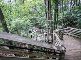
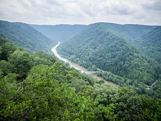
Laura decided to stay at the upper overlook, but I took the long staircase down to the main overlook, which had views up and down the New River.
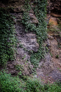
We went back to the car and started following the route on the audio tour. The route wound down the side of the mountain through the old towns of Fayette Station and South Fayette. The single-lane road took us past rock outcrops with visible coal veins, and we passed under the bridge several times.
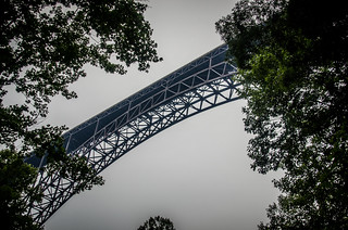
Looking up I could see a good bit of the metal structure of the bridge. At the visitor’s center I had read that a company offered a tour of the bridge along the infrastructure, walking along a 24 inch catwalk that spans the river underneath the bridge. The views would be breathtaking, but woud not be for the faint of heart or the acrophobic. If it had been earlier in the day I might have tried it.
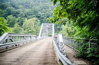
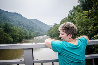
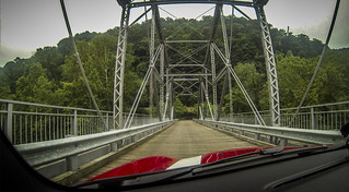
We eventually reached the bottom. Active railroads run on either side of the river, and an old steel truss bridge crosses the bridge. We parked and walked out on the bridge for views of the river and of the larger bridge high overhead.
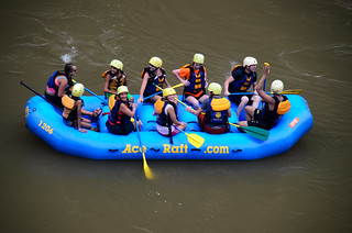
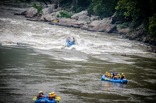
As we watched on the bridge, a group of whitewater rafts floated under the old bridge. We waved to them, and watched then negotiate the rapid under the big bridge.
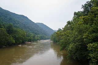
At the other end of the bridge we crossed over and walked along the upstream side of the bridge. The views upstream were just as spectacular, except sans bridge.
We went back to the car and crossed the bridge.
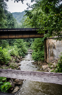
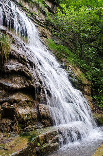
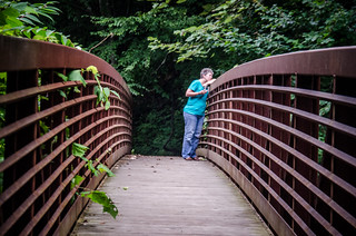
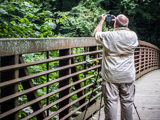
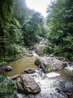
We started making our way up the other side. There were lots of tributary streams and falls along this side. At one point we pulled off at a trail that lead up to an old mine. A stream ran along side the road, and a steel footbridge crossed the stream. We had to check it out.
We continued up the other side, listening to the CD as we drove. Eventually we reached the top, just as it was starting to rain. We put the roof up, and headed on back into town to find a place to stay for the evening.
I wish we had gotten here earlier so we could explore the place a bit more. We would have liked to check out more of the gorge. Still, the part of the gorge we saw was amazing. Here are the rest of the photos from that part of the trip:
[fsg_gallery id=”8″]
UPDATE: Two days after we visited the bridge, it was listed on the National Register of Historic Places, on August 14, 2013. The National Register of Historic Places has a pretty cool Flickr account, and this week they posted several diagrams of the New River Bridge. Here are a couple of examples…
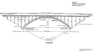
National Register of Historic Places
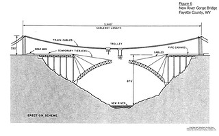
“Erection Scheme”
National Register of Historic Places
