It was a second Saturday, and we were long overdue for a Lowcountry Unfiltered paddling trip. We missed last month, and the two months before that our schedule had been somewhat off. I really needed to get back on the water and it seemed that the Savannah River was just the ticket.
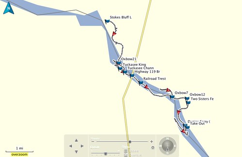
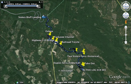
I drove down Friday afternoon and stayed overnight in Walterboro. Alan and I met up for breakfast there, then we headed on toward our put-in at Stokes Bluff in Hampton County. The section we would be floating wasn’t as long as some of our other trips, but we would have opportunities for several side excursions.
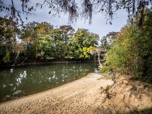
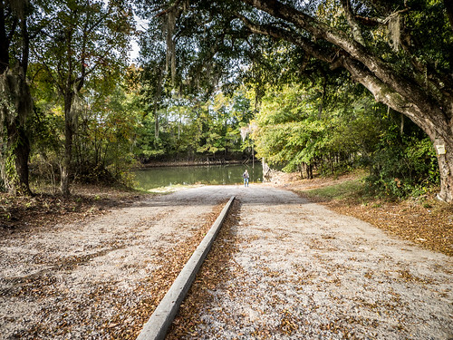
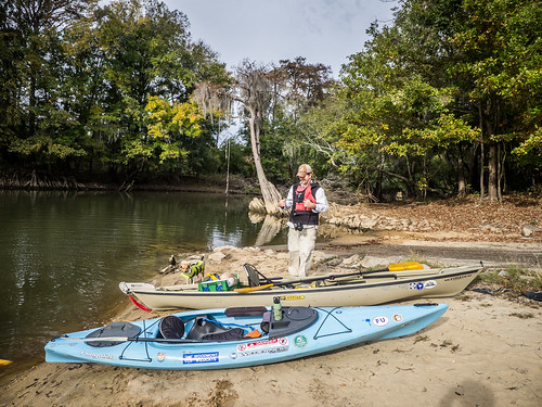
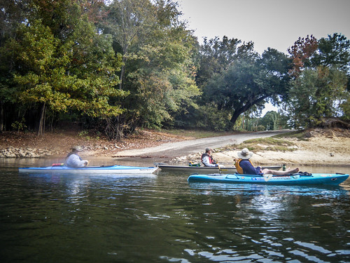
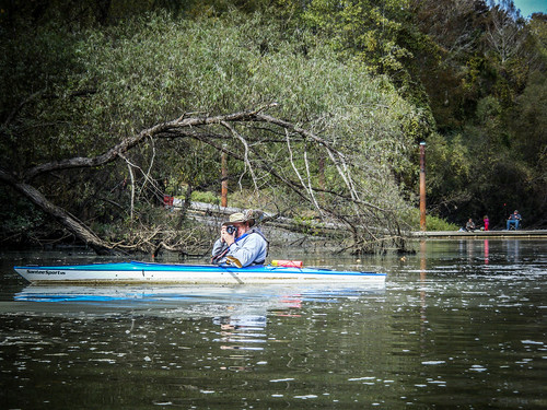
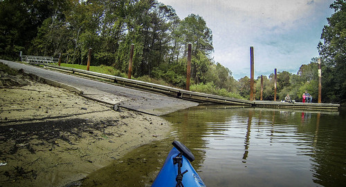
We arrived at Stokes Bluff to find several trucks with boat trailers in the lot. The landing is located in a sheltered cove off of the main channel, and a bass boat with men fishing was just beyond the ramp. On the sand bar below the bluff a tent had been set up.
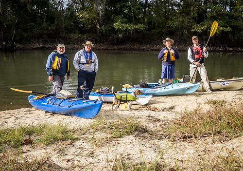
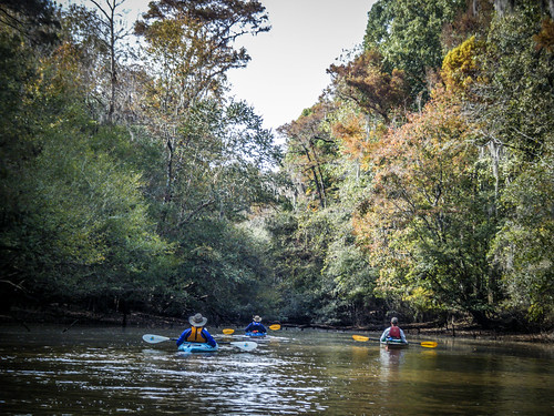
Soon we were joined by Matt Richardson and John Ring from Bluffton, and our group was complete. It was a bit chilly for a paddle, with a starting air temp of 45ª. The water seemed even colder to the touch. Otherwise the weather was spectacular. We paused for our traditional “before all hell breaks loose” group photo, then go on our way.
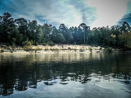
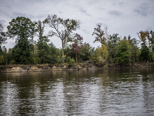
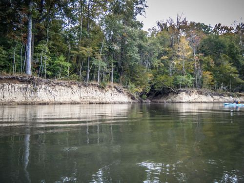
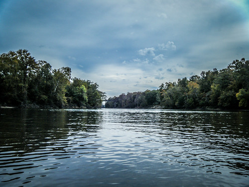
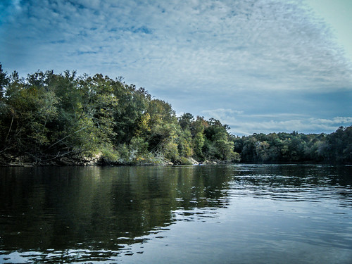
The name “Stokes Bluff” is appropriate. This river is lined with high bluffs. It looked like the water levels were down a bit, making the bluffs seem even taller.
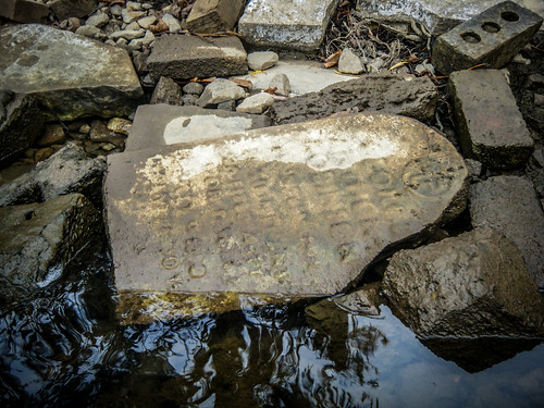
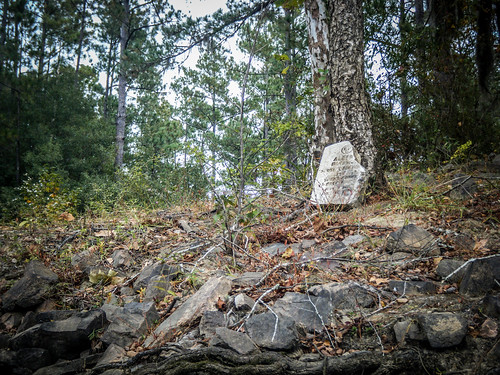
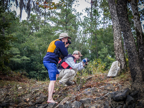
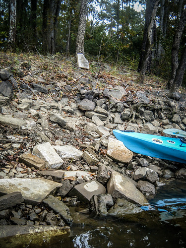
About a half-mile from the put-in, just beyond the first row of houses along the east bank, we came across a disturbing sight. Embedded in the rip rap used to stabilize the bank we spotted several headstones. Closer inspection showed this to be of the style used in military cemeteries. Most were eroded beyond recognition.
Alan and Matt got out to explore. Since I was in the Tsunami, and the bank was a bit steep, I didn’t try to get out. They reported that there were even more stones on top of the bluff.
Matt and John had paddled this section a couple of years earlier, and said that they thought there had been even more headstones in the rip rap back then. While the sight of these used in such a manner seems like desecration, it’s obvious that they’ve been here a long time, and we’re definitely not the first to have seen them. If this was something to be reported to authorities, it would have happened long before now and the stones removed. Even so, it was a mystery, and one that bore further investigation when we got back from the trip.
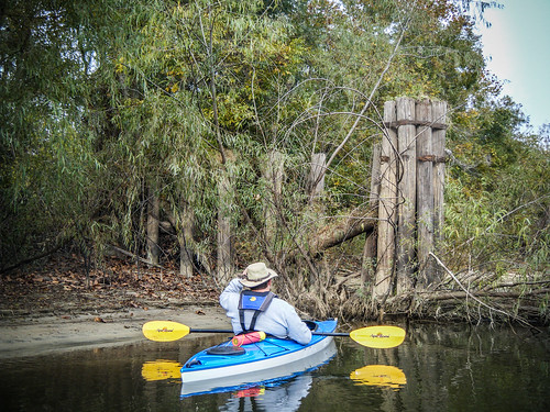
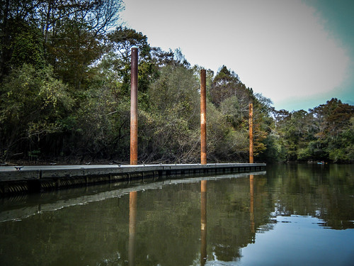
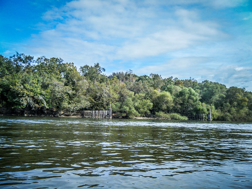
We continued on downstream. The current was good, but not overwhelming. On the Georgia side of the river opposite the headstone rip rap we saw a series of pilings. At first I wondered if these were part of a dock or something. Matt said that they had been built by the Army Corps of Engineers in the 1950s as an aid to barge traffic. That same project saw the straightening of the river channel, and many of the various bends and oxbows of the river were cut.
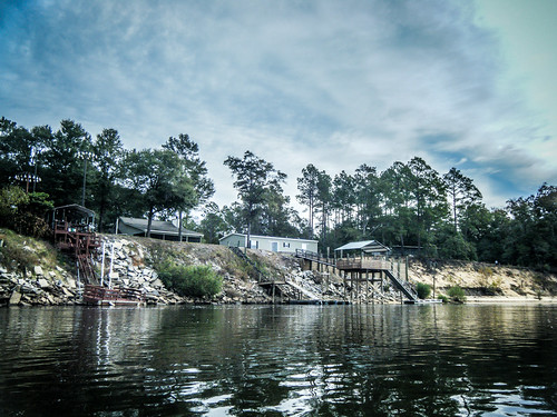
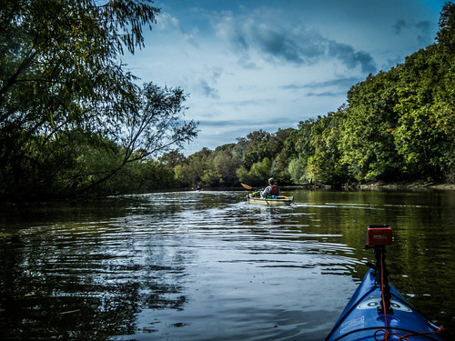
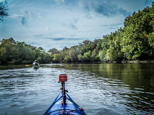
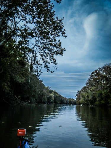
There were changing colors along the high bluffs. The area seemed remote, but we could spot the occasional river house along the banks. We did hear gunfire from hunters back off in the woods, and later in the day we were passed by the occasional bass boat.
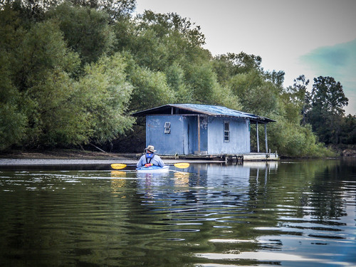
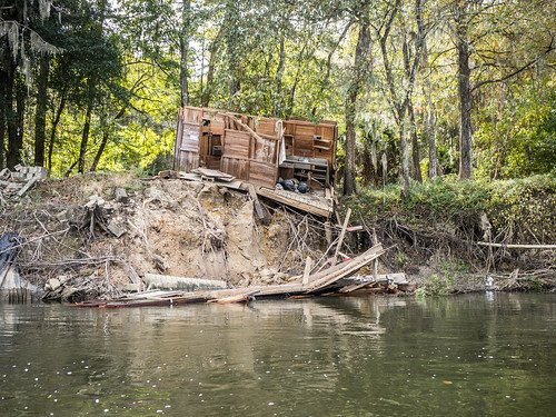
At one point we came upon an old fishing shack on the river bank. This looked like the same type of floating shanty that dot the waters of Lake Marion. This one looked like it wasn’t totally abandoned, but even so, it wasn’t in great shape. But, I guess if you’re out on the river and all you’re doing is hunting and fishing, you don’t need much in the way of luxuries.
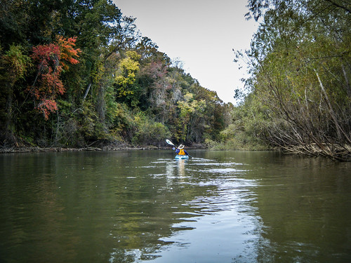
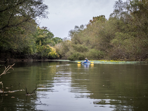
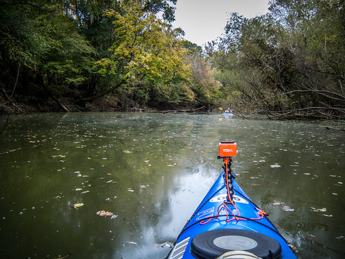
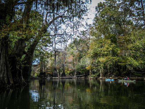
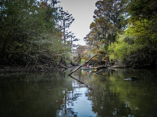
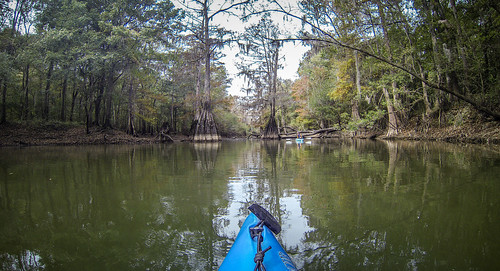
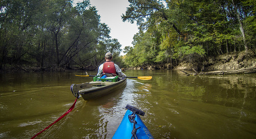
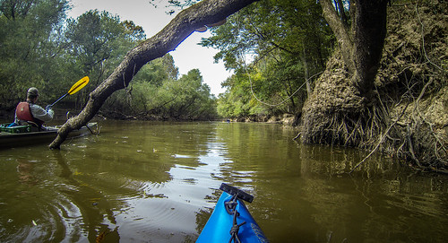
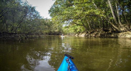
It wouldn’t be an LCU trip without exploring some side channels. We headed on back into one of the oxbows for a bit. The Savannah is a wide clear channel, but when you get back into the smaller sections there are trees and wildlife in abundance.
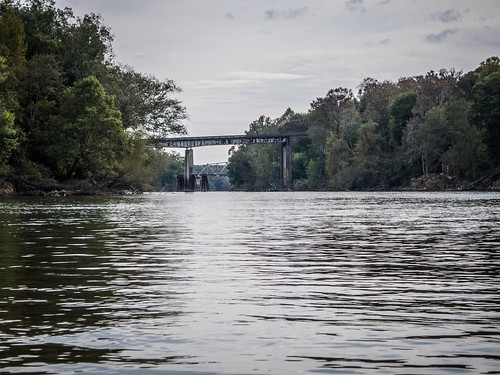
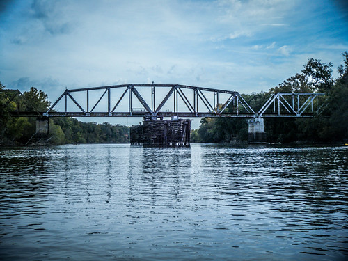
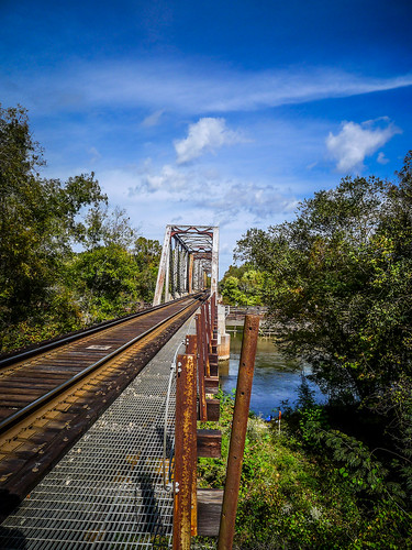
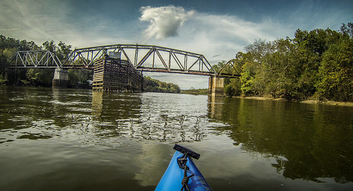
Soon we were approaching the Highway 119 bridge. Beyond that we could see a railroad trestle.
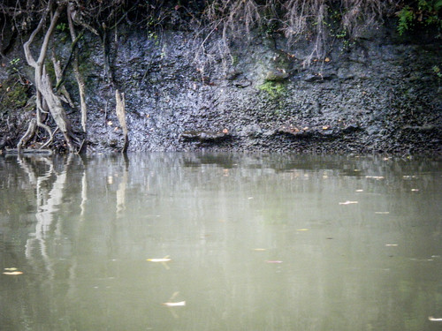
However, before we reached the bridge we had another channel to explore. Tuckasee King Landing was just around the corner. As we rounded the bend there was a large limestone wall on the Georgia bank.
The landing was pretty active. Two boats launched as we approached, and there was a family fishing at the ramp.
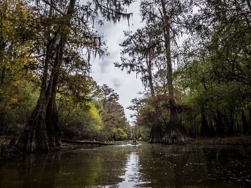
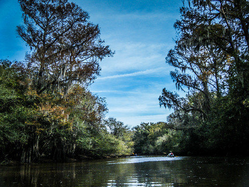
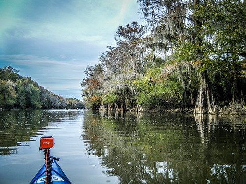
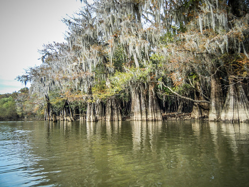
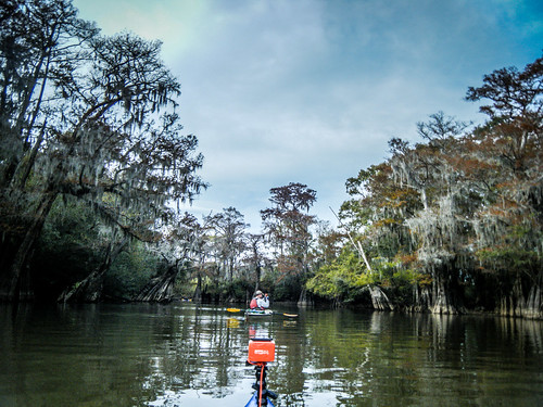
On back in the channel there were some amazing cypress trees. The scenery back int he channel was nothing short of spectacular.
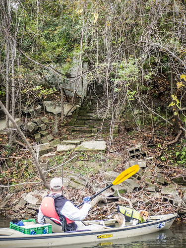
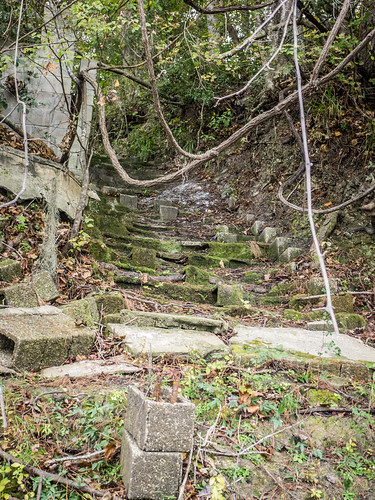
Back at the entrance to the channel was a set of old stone steps.
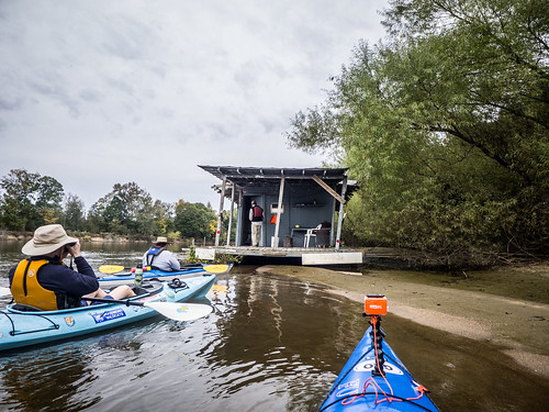
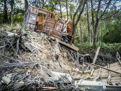
Just before we got to the bridge we divided and conquered. Matt and Alan spotted a couple of great blue herons cavorting on the South Carolina side. John and I got a first-hand example of the dangers of building your house/shack/fishing shanty too close to the edge of the river.
The amazing thing was seeing what was left intact in the shack. There was a clock radio on a shelf, and an air conditioning unit was on the back wall.
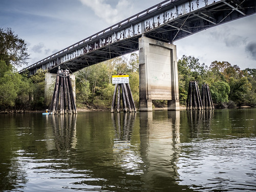
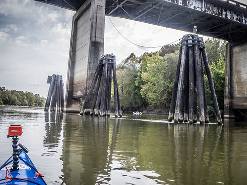
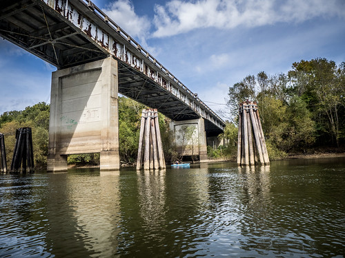
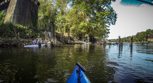
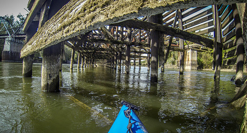
For some reason, even a simple highway bridge takes on a certain mystique from the water. The Highway 119 bridge was no different. This one had large wooden pilings to keep barges from running into the bridge.
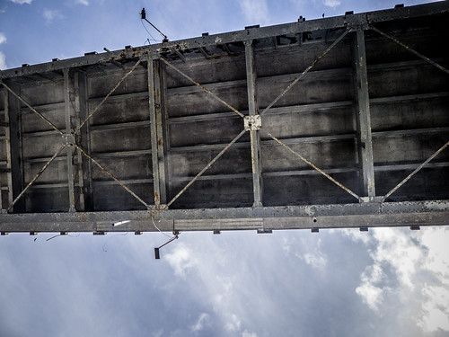
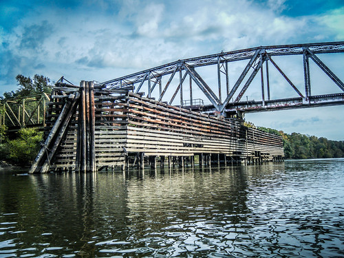
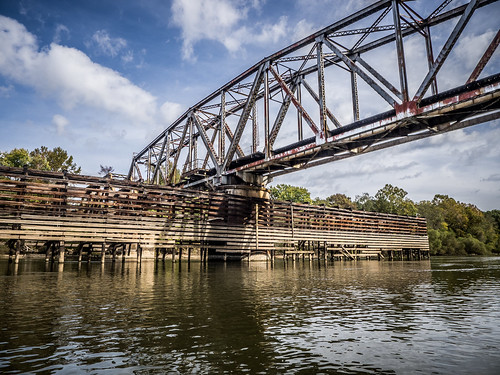
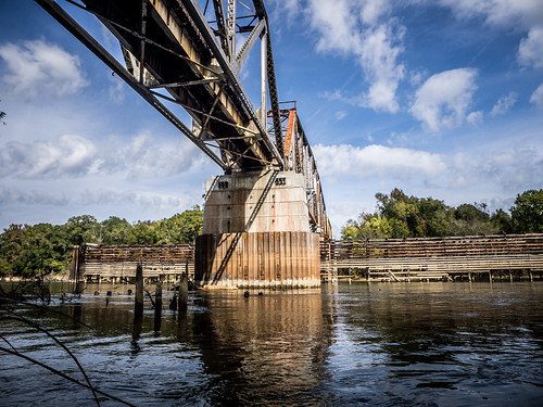
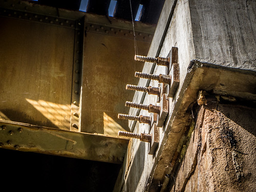
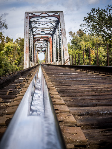
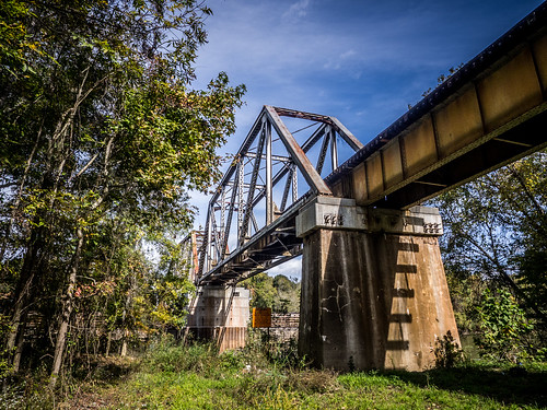
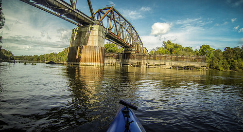
Just down from this was the railroad trestle. This one was quite dramatic. The central span had a circular gear system that at one time allowed it to rotate to allow taller vessels to pass.
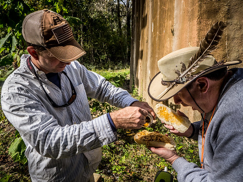
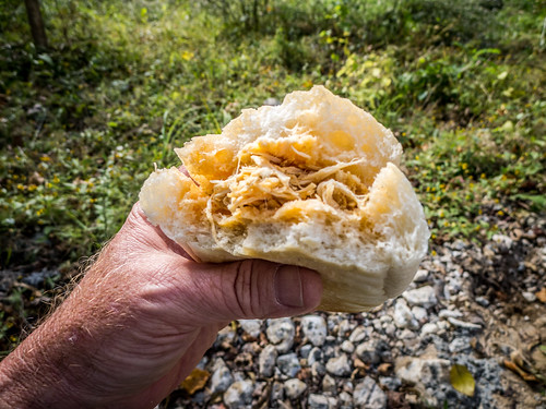
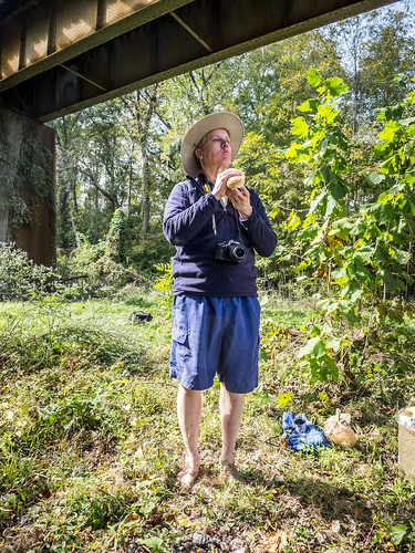
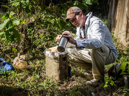
We decided that this would be a good spot for lunch. We pulled out and had our sandwiches under the bridge.
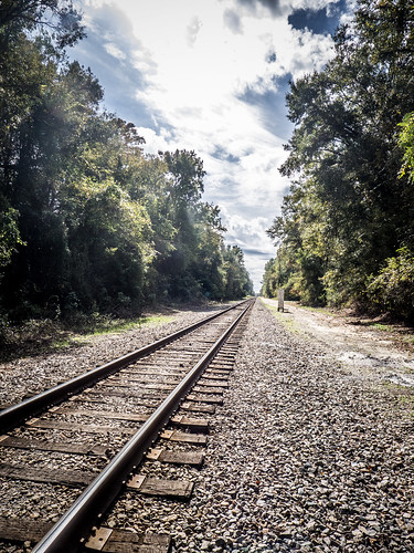
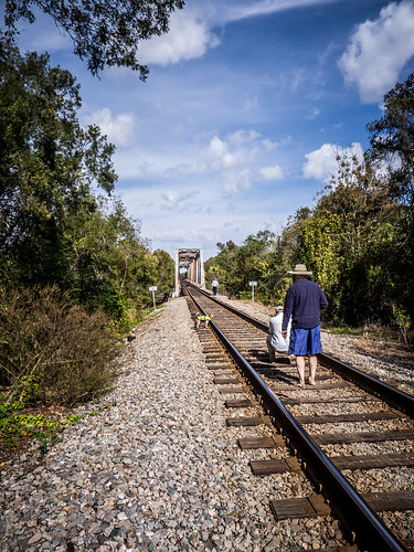
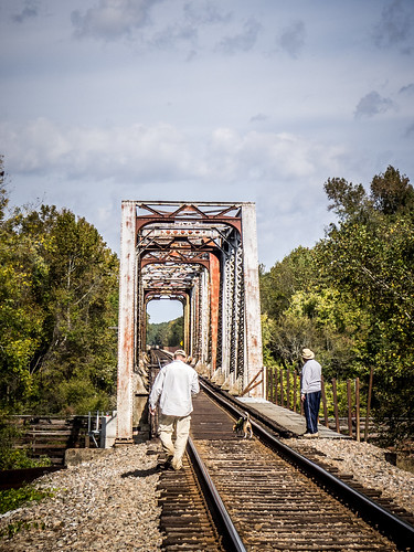
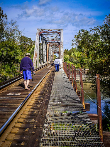
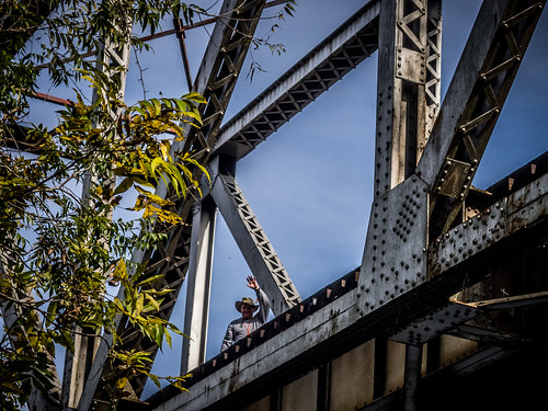
This bridge was far too intriguing to pass up. We made our way up to the tracks to take more photos. It was amazing how the steel superstructure of the bridge was reflected in the tracks. Alan, Matt, and John walked on out onto the bridge. I wasn’t quite so daring.
I wandered on back down to the boats to change batteries in the camera. Along the way I got a few more good shots of the bridge.
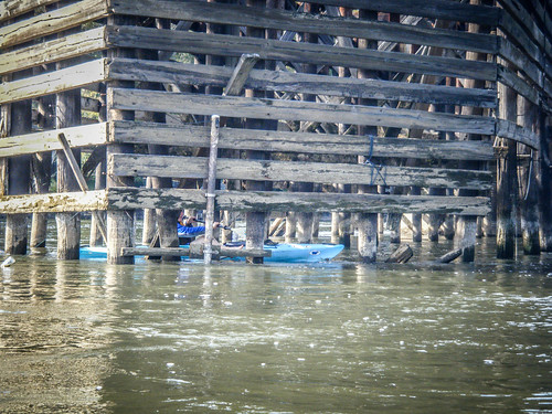
We all re-launch, then took even more photos of the bridge. Alan paddled into the wooden support structure to get even more interesting shots.
Free of the bridge, we continued on our way. It had been overcast most of the day with sunshine peeking through. Even so, I was starting to feel a bit toasted on the open water. I had shed my paddling jacket and spray skirt, and was now seeking shade when I could.
We found another oxbow lake, this time on the South Carolina side of the river. The channel started narrow, then opened out into a wider lake. We followed it back a long way, exploring as much as we could. The oxbow wound past an old fish camp that the guys had explored on a previous trip. From the main branch of the river it looked like the fish camp was no longer abandoned, but was undergoing renovations, so we didn’t explore it this time.
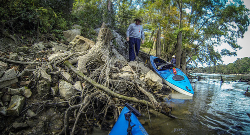
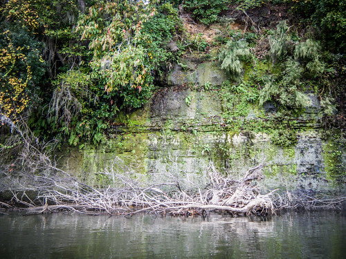
More open water, and eventually we reached the bank where I had the coordinates for our take-out marked. We weren’t through, though. On the Georgia side across from our intended take-out was another large oxbow. This was Kennedy Lake, and provided the most spectacular scenery so far. As with Tuckasee, the left bank was lined with limestone cliffs. Water was seeping from the upper reaches of the cliffs, almost creating little waterfalls. Trees were clinging to the rocks, with exposed roots showing their tenuous hold.
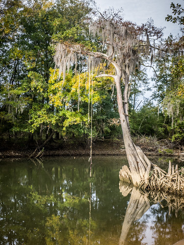
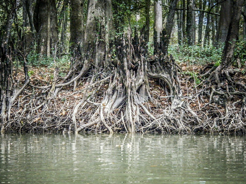
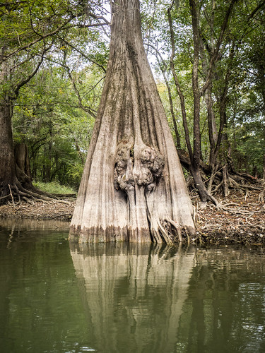
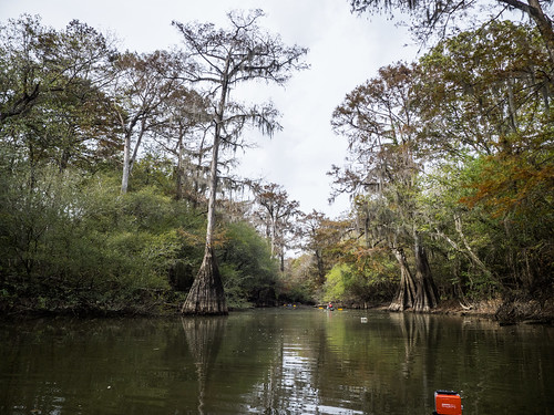
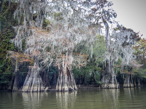
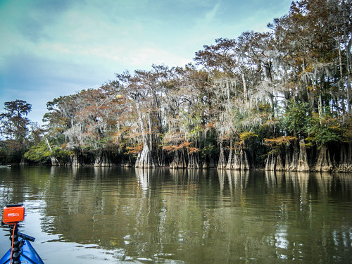
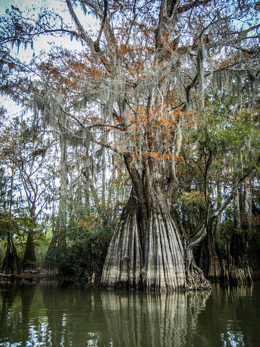
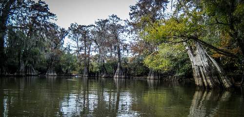
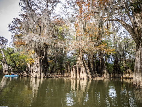
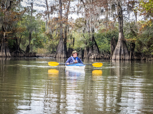
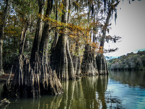
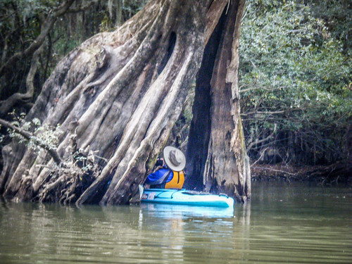
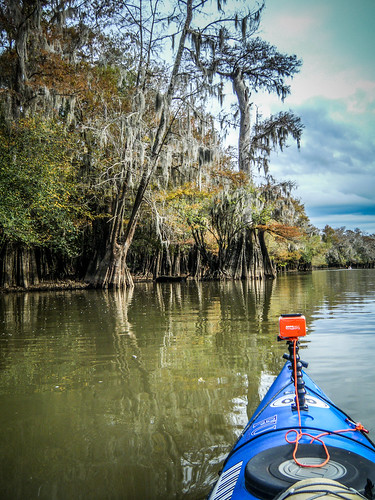
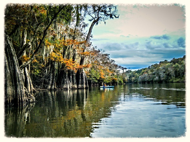
Back into the channel we encounter an old grove of cypress trees. These had tremendous root systems, almost large enough to swallow an entire kayak. The trees were mystical, and with the orange fall foliage, was a photographer’s dream. We lingered for quite awhile, just enjoying the silence of the old growth.
Reluctantly, we left the refuge of Kennedy Lake. Just past its entrance there had been an old ferry. It was said that Sherman used this ferry to cross the Savannah River. We though about exploring some more, but, once again, it looked like someone was revitalizing the space. We crossed on over to our take out.
The take-out was steep and mud. We got more mud on our boats and our fee than any other time on the trip. We loaded up the boats and made the shuttle back to Stokes Bluff.
The Savannah really is a great place to paddle. The main channel is wide and easily navigated. There are sufficient access points all along the river. More importantly, there are the beautiful coves and oxbows that provide solitude as well as scenery. Not to mention all of the history in the area.
In all, we paddled 11.5 miles on this trip. It was, indeed, a great day out on the water.
I took hundreds of photos, and uploaded 333 to my Flickr account. Here is a slide show of all of them.
[fsg_gallery id=”54″]
