Trip 2 – March 17, 2023
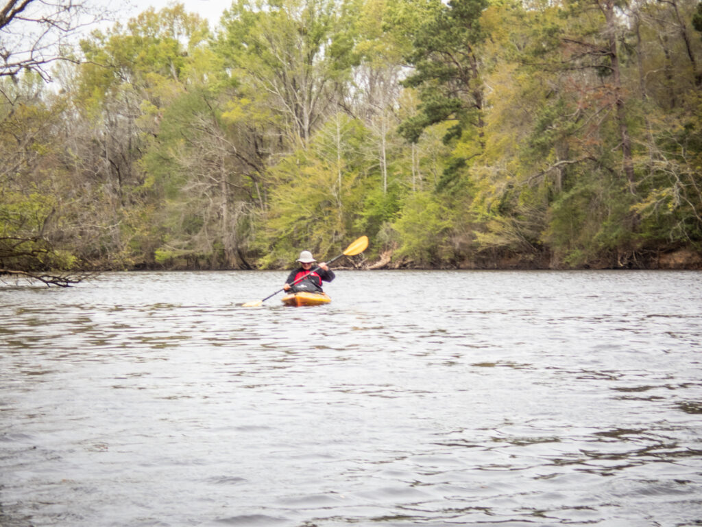
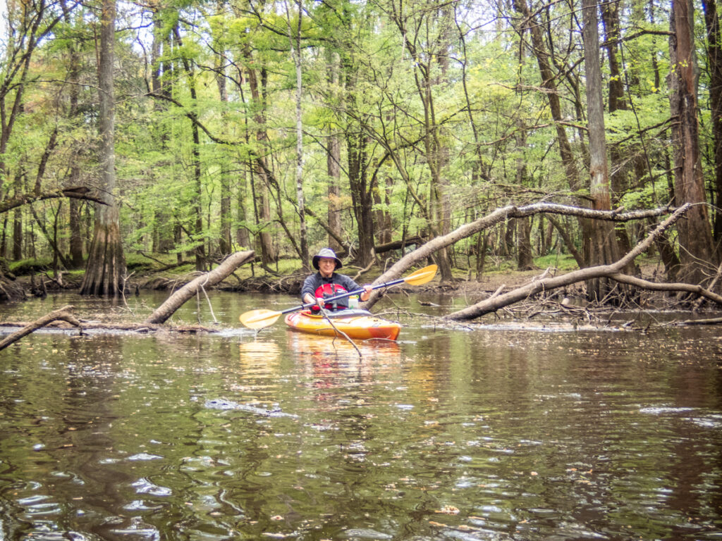
I had signed up to paddled Sparkleberry Swamp with the Lowcountry Adventures MeetUp group. I had some conflicts with that Saturday, so I had to cancel. Mid-week Chapin Burgess sent a text saying that he was coming up early and would like to paddle Bates Old River on Friday. Dwight Moffitt would be joining us for this trip, as well as Lynn Whitmore from Georgia. It would be another spectacular day in the Congaree Swamps.
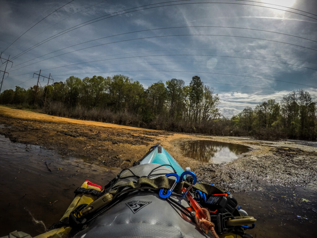
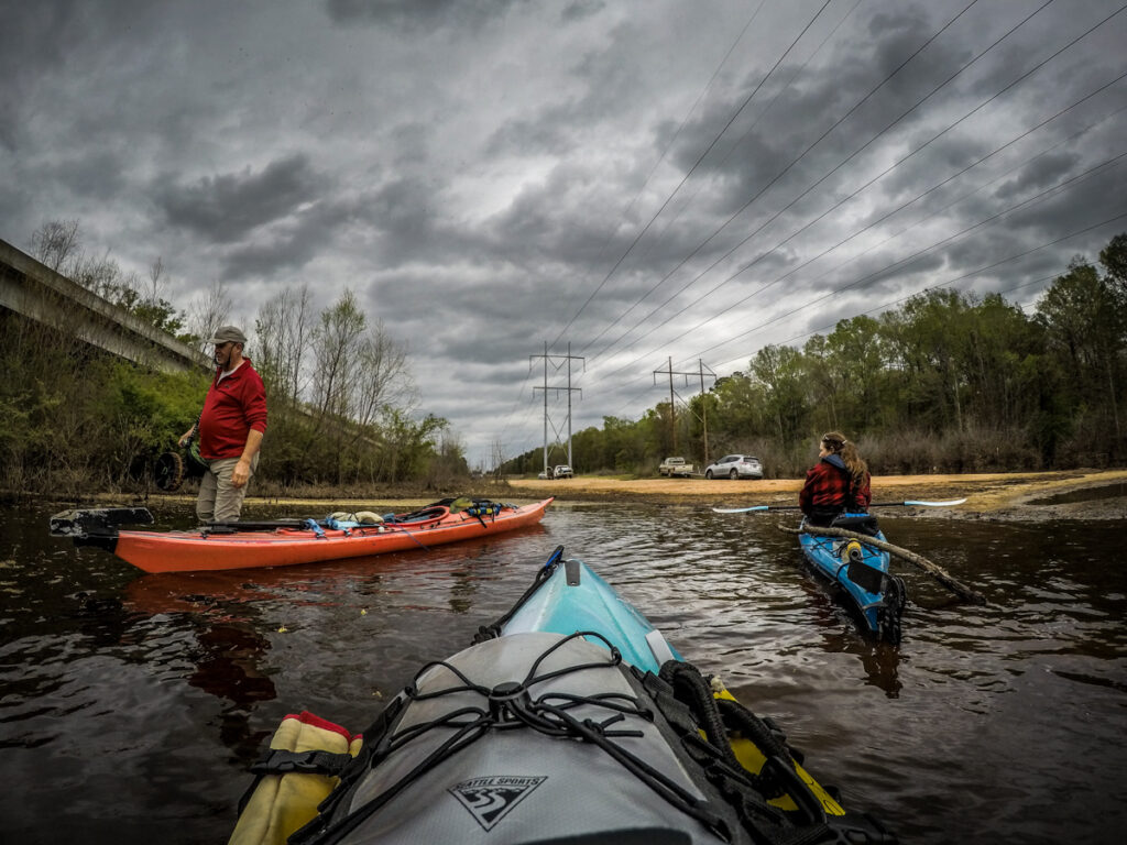
I knew the water levels would be lower since it hadn’t really rained since our previous trip. I was hoping that the access road would be easier to travel, but that didn’t prove to be the case. If anything, it was even worse than the Saturday before. There are deep holes and ruts that really need to be addressed. We all made it and unloaded our boats, launching out into a rather muddy stretch.
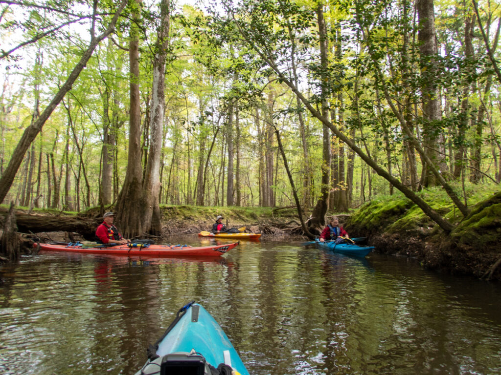
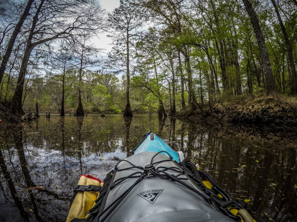
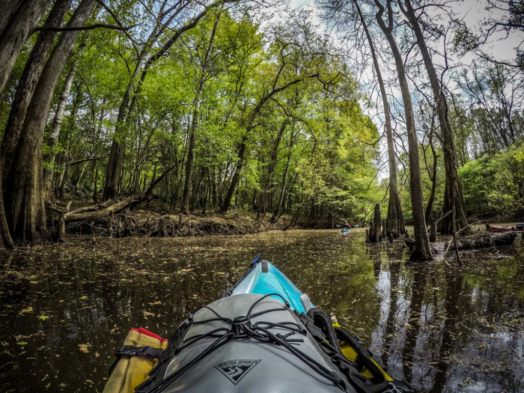
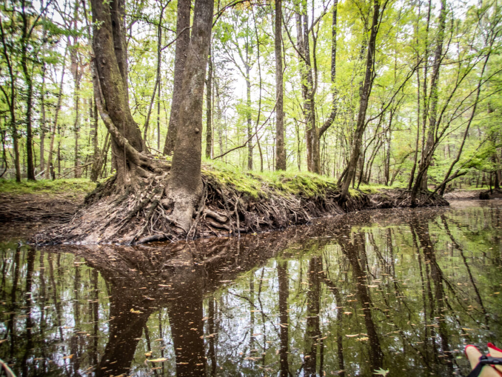
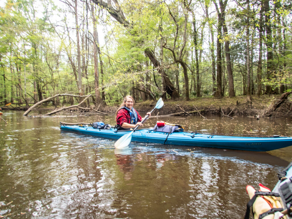
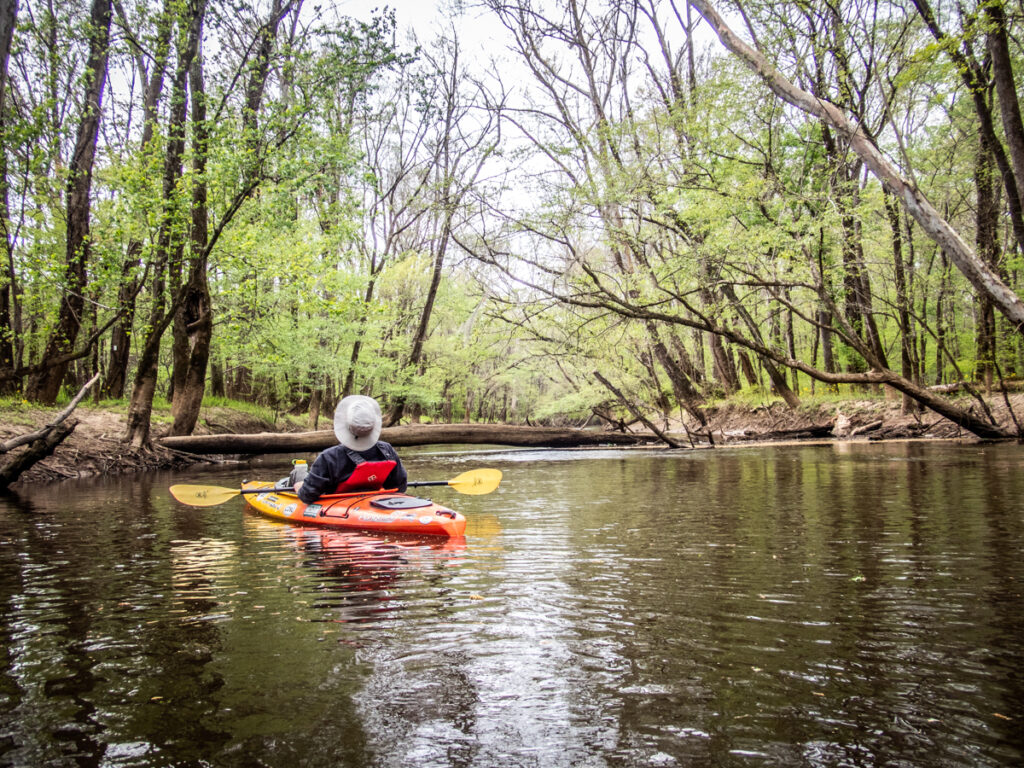
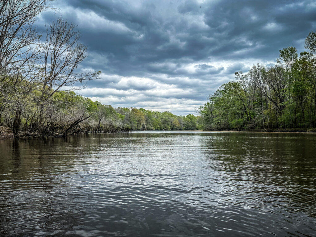
Since I had just paddled the upstream swamp the others humored me by agreeing to explore the oxbow lake. We set out into a rather stiff headwind, but the weather was otherwise wonderful. The trees seemed even greener and there was a sheen of pollen on the water’s surface.
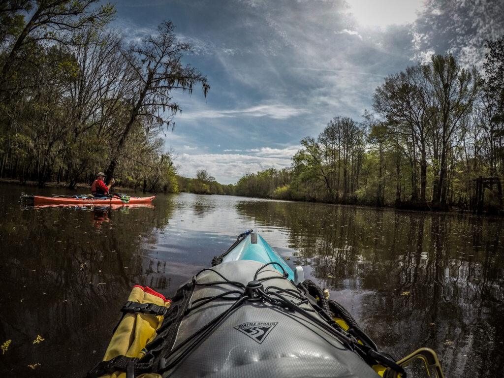
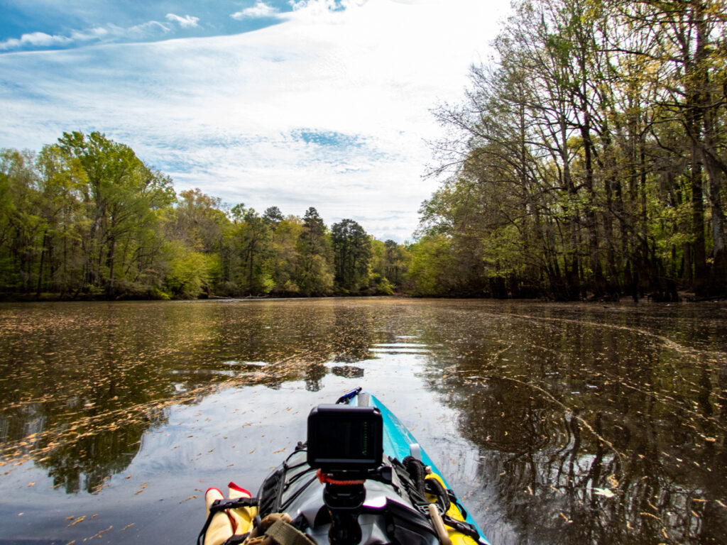
The open water was nice but bouncy with the headwind. We spotted a channel to the left and decided to explore. There we entered a green wonderland, appropriate for Saint Patrick’s Day.
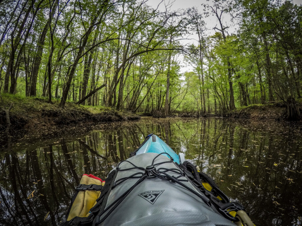
As with the previous trip, the pictures just don’t do the scenery justice. It was a immersive experience.
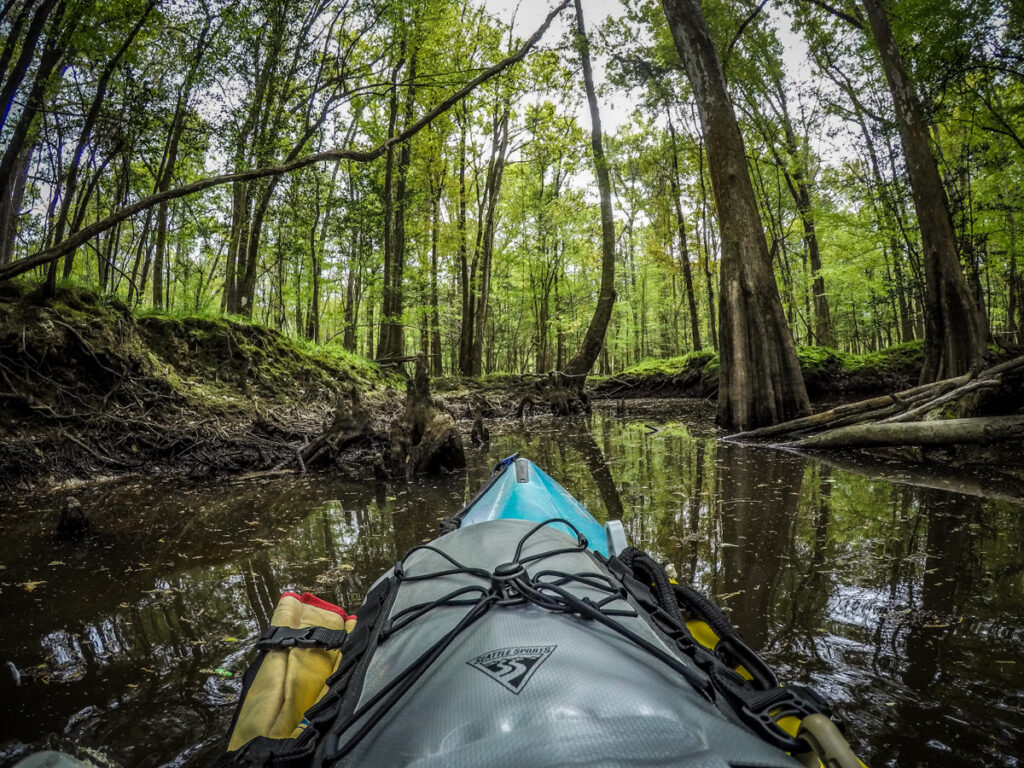
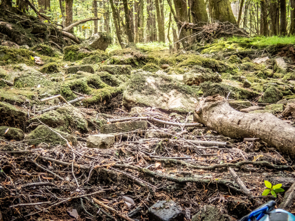
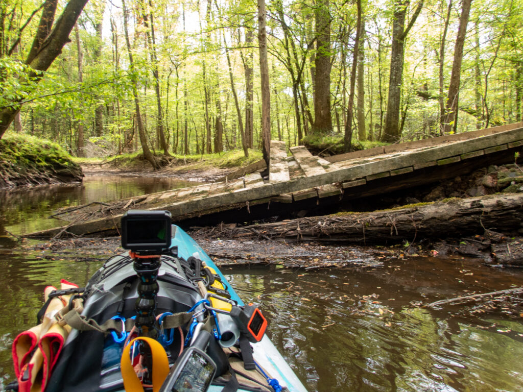
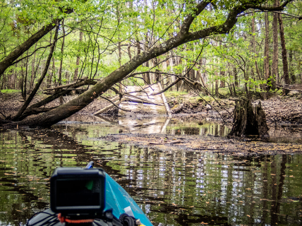
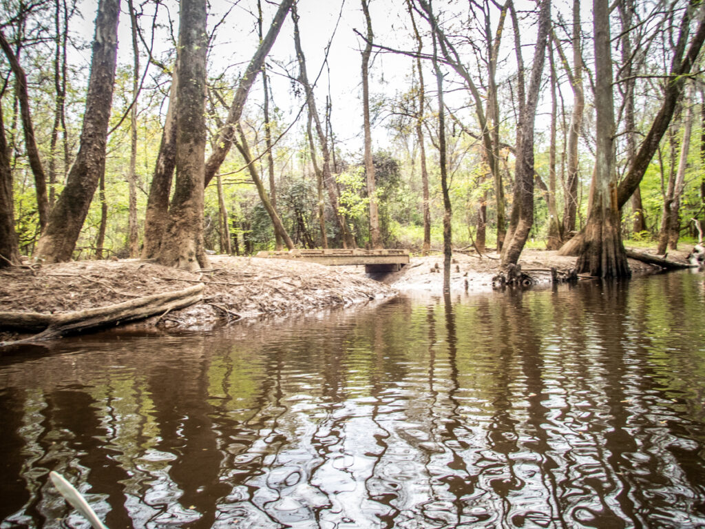
We continued along this channel as far as we could go. We came to a spot where it looked like a bridge had collapsed onto the stream. Cement blocks, bricks, and stone had been used to build up a roadbed and there was probably a culvert under all of these. It had now collapsed, blocking any further progress.
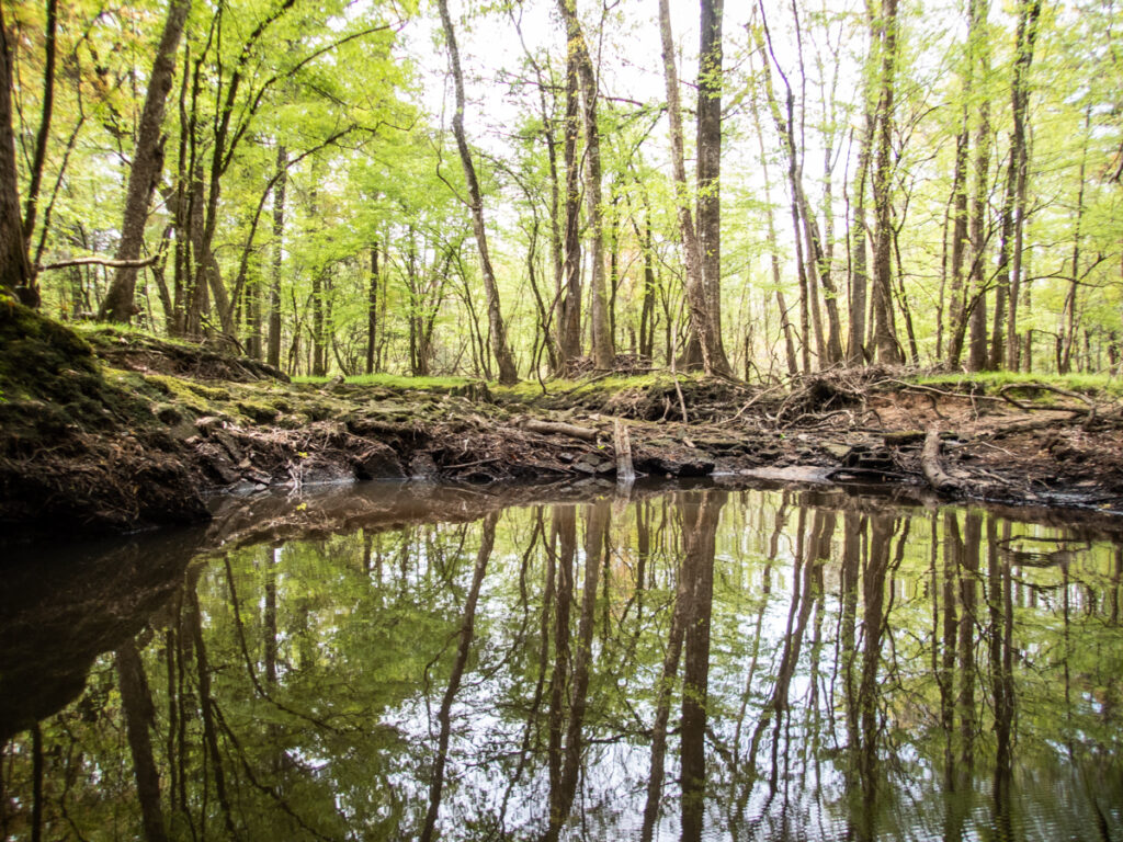
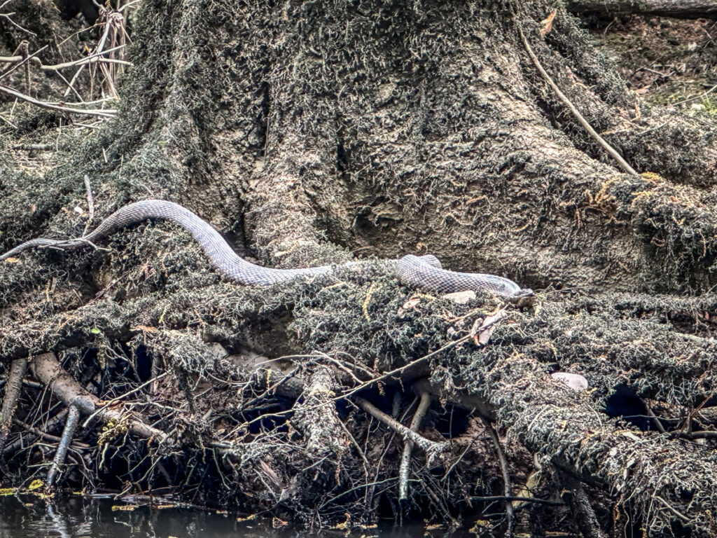
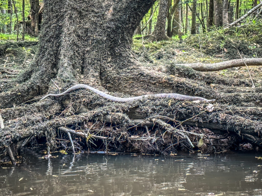
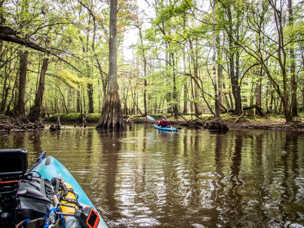
We made our way back out of the channel to the lake, pausing to photograph the green moss and a rather large water snake along the way.
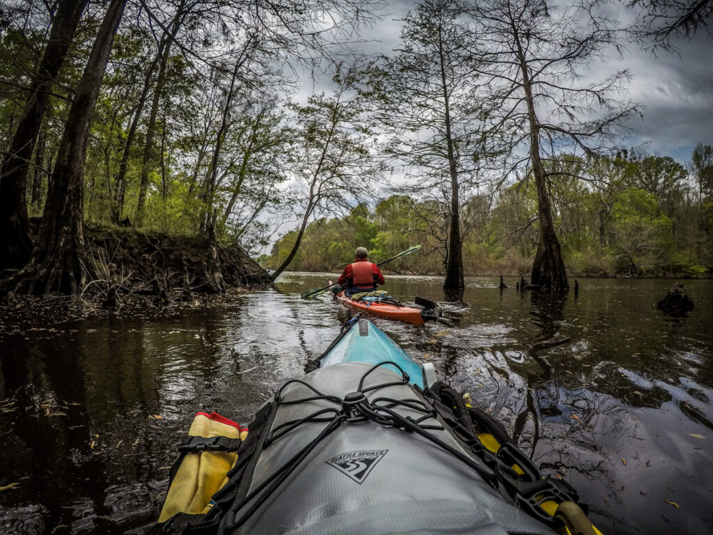
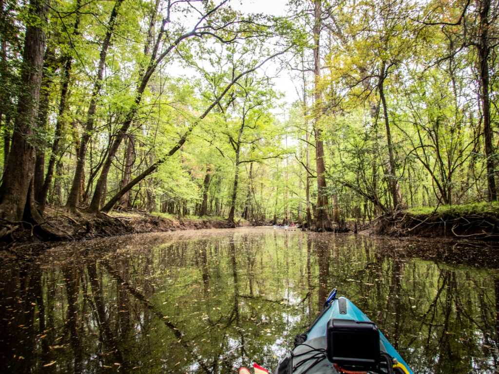
Back out on the main channel we kept our eyes open for any signs of side channels reconnecting, or any evidence of the road we encountered. There were some possible side channels, but these were blocked so that we couldn’t get back into them.
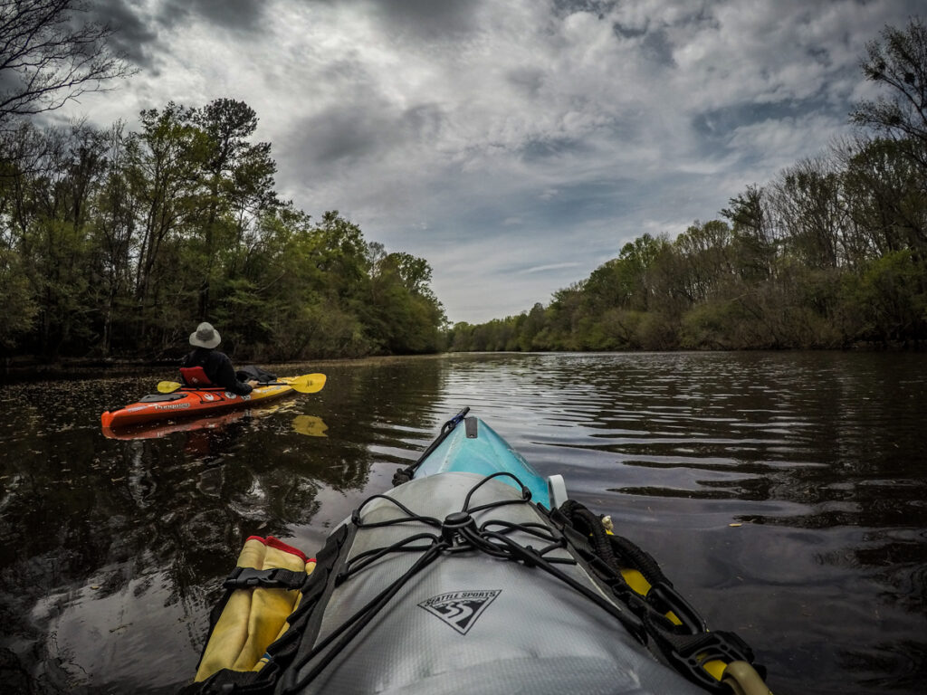
As we continued to battle the headwinds jets from either Shaw AFB or McIntyre flew over. We probably saw six fighter jets as we paddled along.
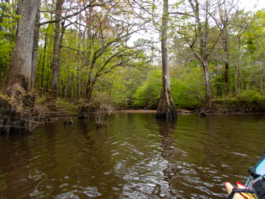
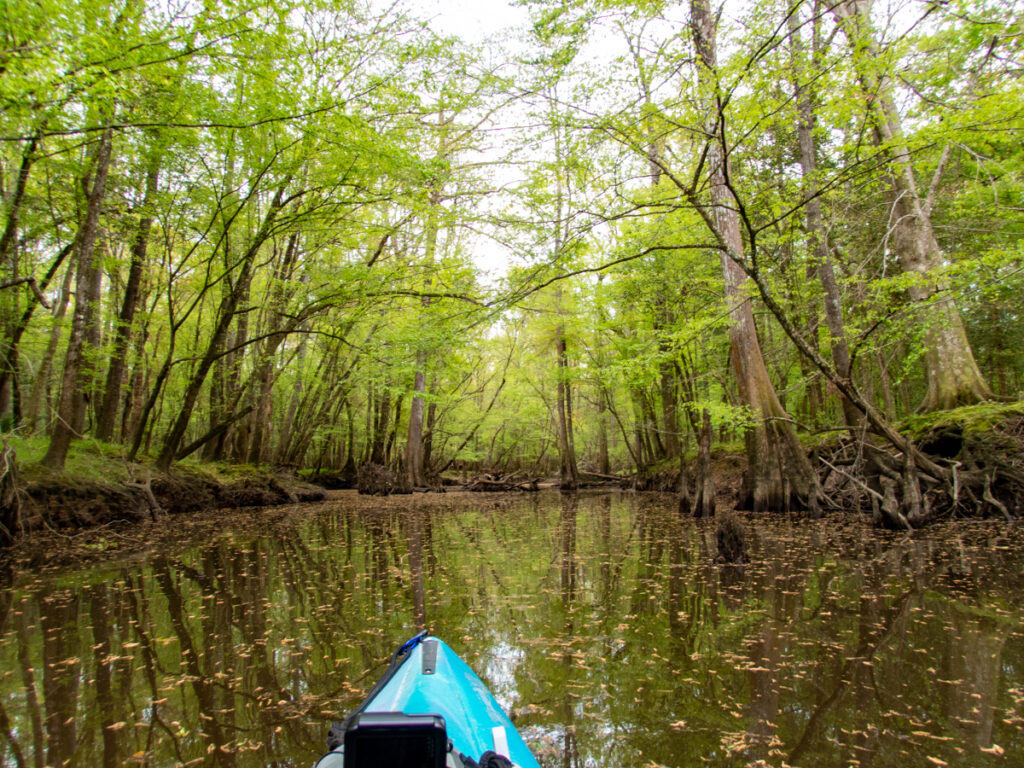
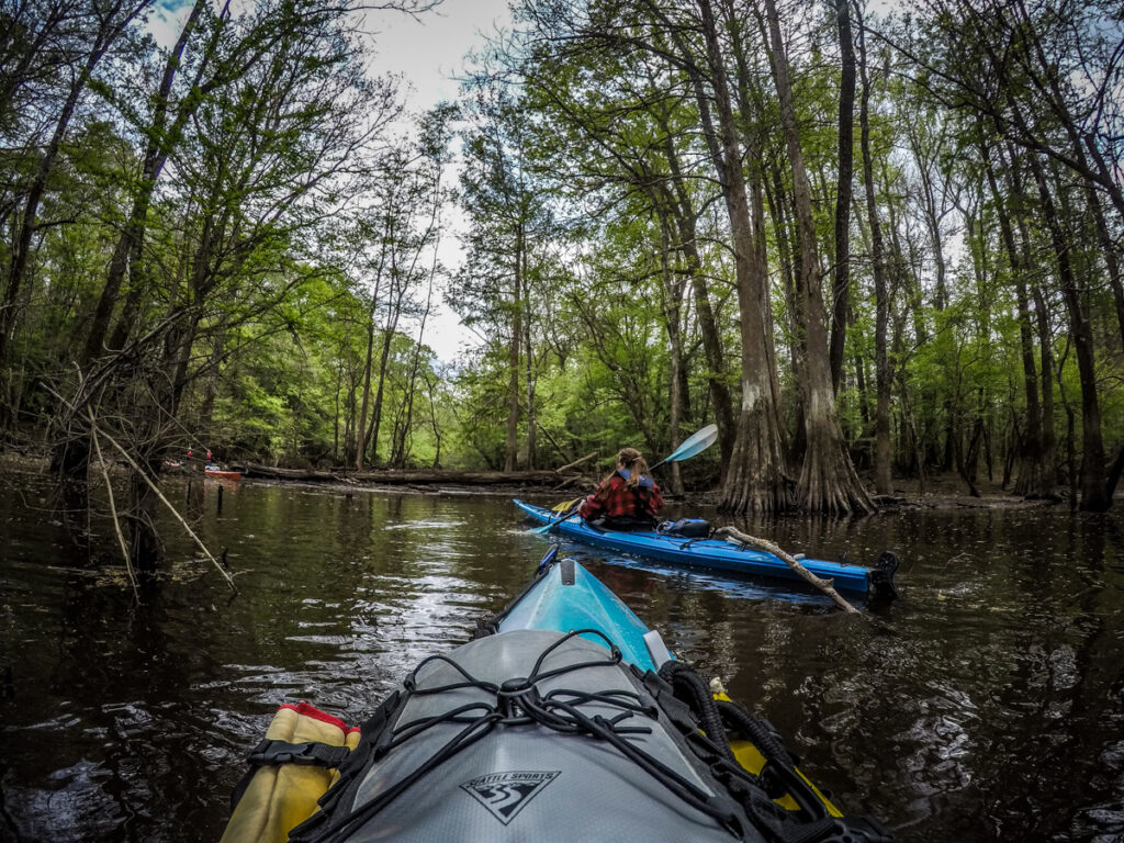
About a mile further along the oxbow we came to another deep channel that warranted exploration. The green hues were still very intense and once again I found photos to be insufficient. We paddled back until we came to more evidence of the road. This time there was a wrecked wooden bridge. It wasn’t blocking our way, so we were able to get past it
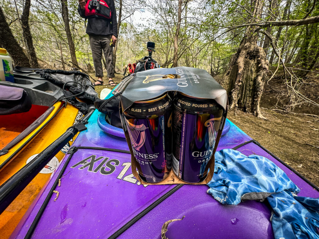
Eventually we found our way blocked, so we headed back toward the main channel. At the confluence we stopped for lunch, including a bit o’ Guinness to celebrate Saint Patrick’s Day.
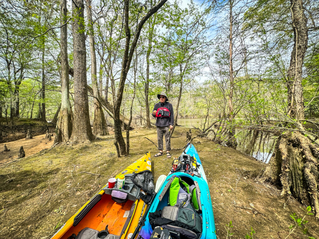
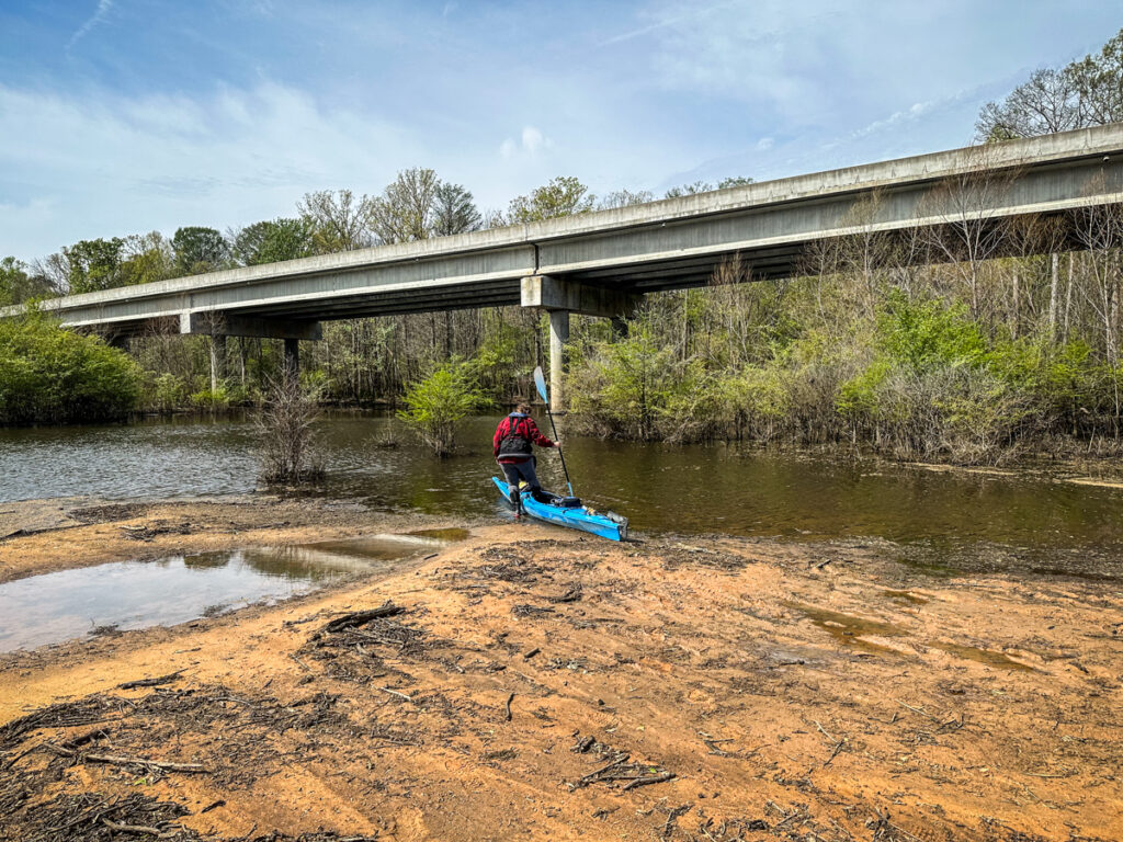
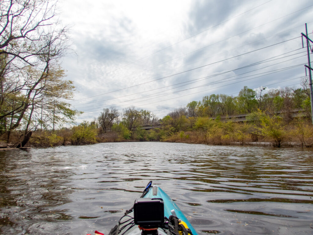
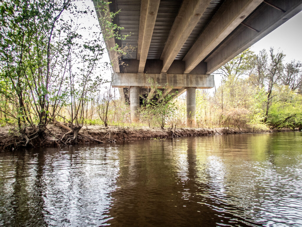
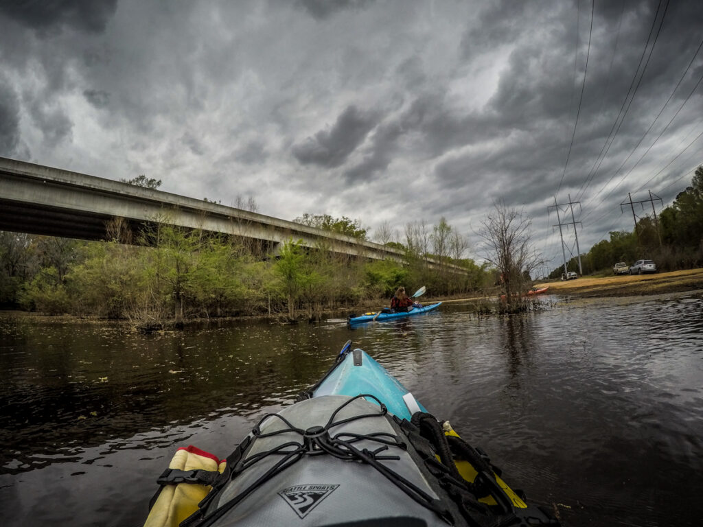
At this point we weren’t too far from the Highway 601 bridge at the lower end of the oxbow. In addition to the jets overhead we could hear traffic sounds from the highway. We decided that would be our turnaround point for this trip.
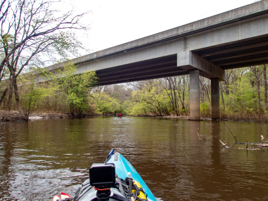
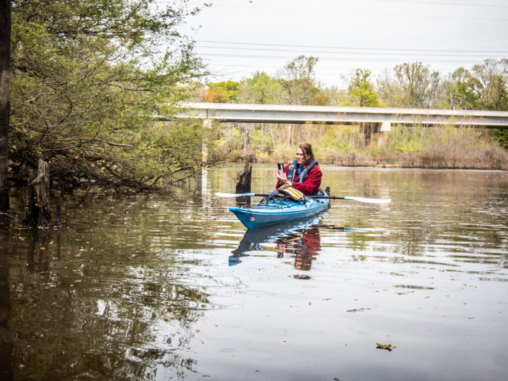
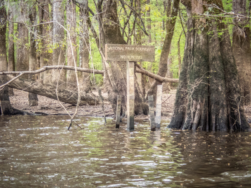
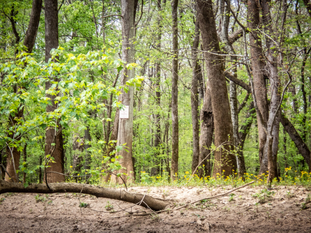
When Alan, Dwight, and I had explored this area a few months ago we found a trail head at this bridge. Dwight and I continued on past the bridge to see if we could spot a connection to that trail and a possible pull-out for a future trip. It looked like there were several unofficial trails created by fishermen. We paddled a few hundred yards beyond the bridge, but found our way blocked by a downed limb. It might be possible to paddle on out to the Congaree, but we would have to portage around this limb, and who knows what else further down.
We turned back around and started the return trip to the upper 601 bridge. By this time the clouds were starting to build and rain was threatening. It was time to head back. At least we had the wind at our backs for most of the return trip.
We paddled just shy of six miles on this trip.
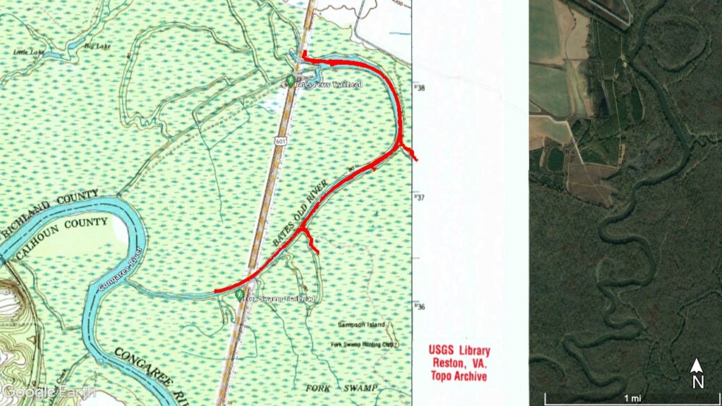
These were both great trips and I was glad to explore both upstream and the oxbow lake. The next time I’d love to do a point-to-point trip where we put in at the upper 601 bridge, paddle to the Congaree confluence, then take the Congaree main river on down to its crossing with 601.
The entire Cowassee Basin looks like it has lots of places to explore. The problem is that there aren’t that many public access points. From the Highway 601 bridge on the Congaree the next landings are either Sparkleberry, Pack’s Landing, or Low Falls Landing. That might be a bit too much for a day trip. This is one of those times I almost wish I had a john boat with a small motor to explore these more remote areas.