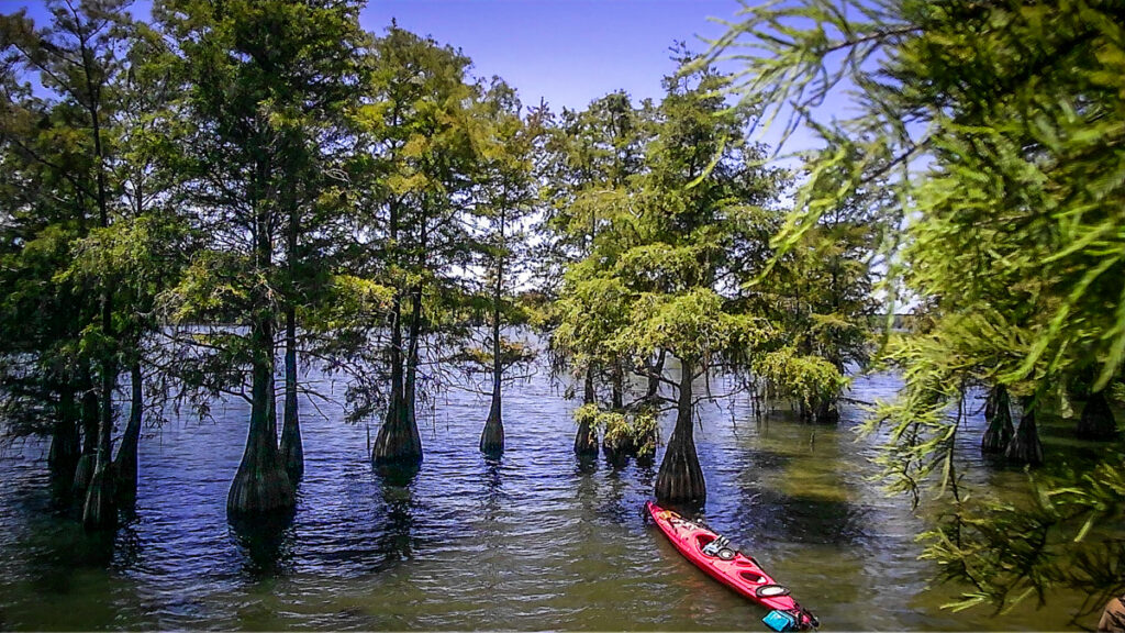
Way back in 2013 I wrote a post about a paddling trip to the ghost town of Ferguson in Lake Marion. That post went viral, and is one of the most visited posts on this site. That article is listed in footnotes of several Wikipedia articles about the area. It’s even listed in the Congressional Record when Congressman Jim Clyburn proposed a bridge across Sparkleberry Swamp. I wasn’t too keen on that idea, but Clyburn managed to use my article in support of his proposal.
The second time I visited Ferguson Island was in 2017, and we noticed substantial deterioration in the ruins. Since then I’ve seen several other social media posts showing even more deterioration in the ruins. I decided it was high time to head back there and see what’s left. We’re in a drought right now, so I was hoping water levels were low enough to see more ruins.
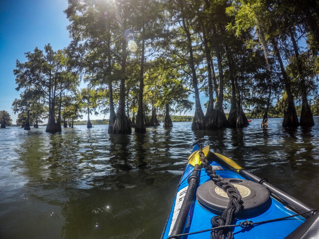
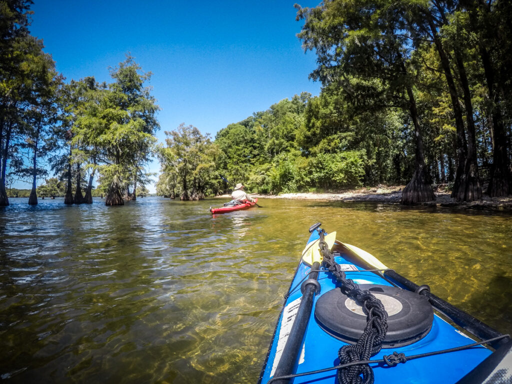
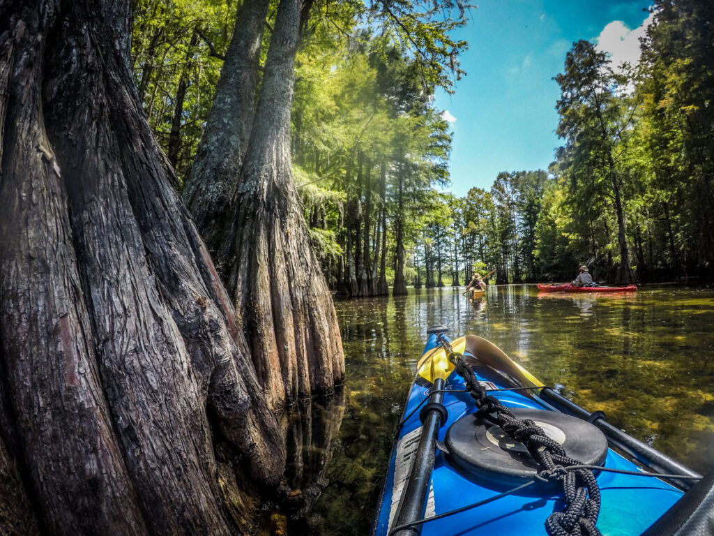
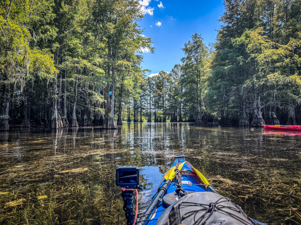
Four of us would be on this trip. Perry, Kevin, and I would drive down from Greenville, and George would would drive up from Beaufort. We had first thought we would launch at Taylor’s Landing, paddle out to the island, and explore some of the cypress swamps along the edge of the lake. George suggested that we try another launch site. This one was a couple of miles away in a deep cove. It would add a bit of distance to our paddle, but it would take us through some lovely cypress, water lilies, and lotuses. We had actually paddled into this area back in 2017, so I was up for it.
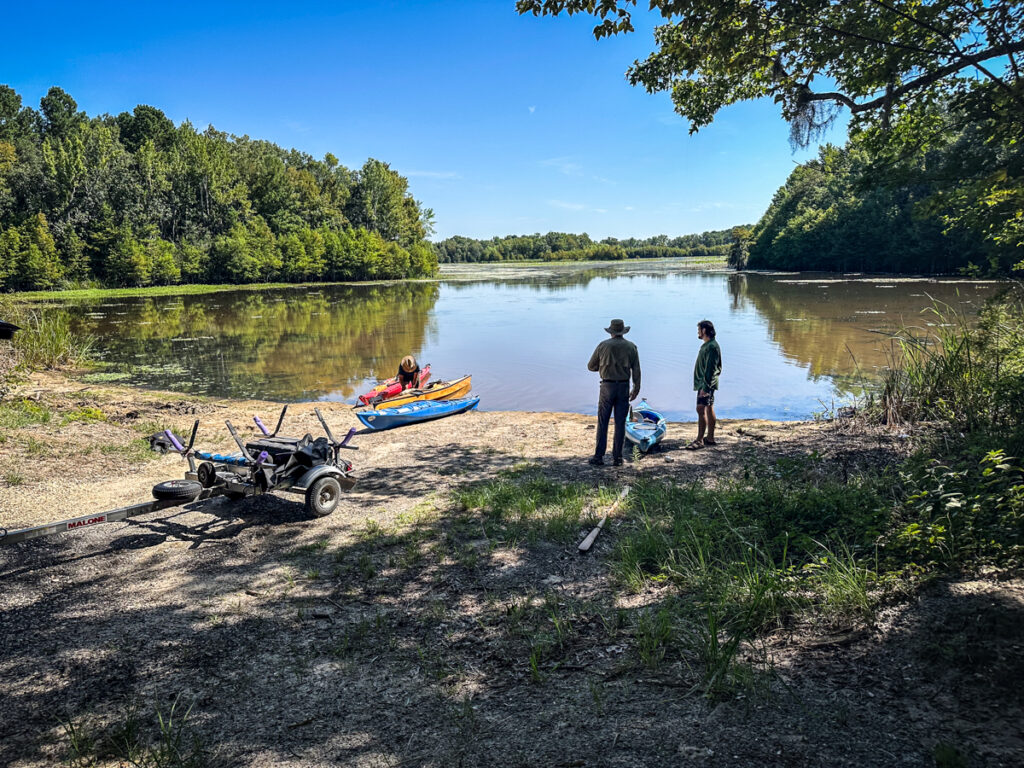
This landing is in the Santee Wildlife Management Area. There’s a dirt boat ramp, which works out great as a kayak kayak launch. Plus, it’s less crowded than Taylor’s Landing, and they charge a fee. This one’s free.
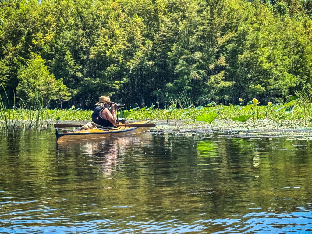
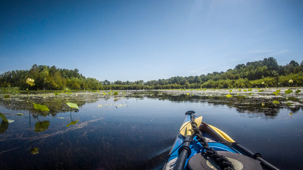
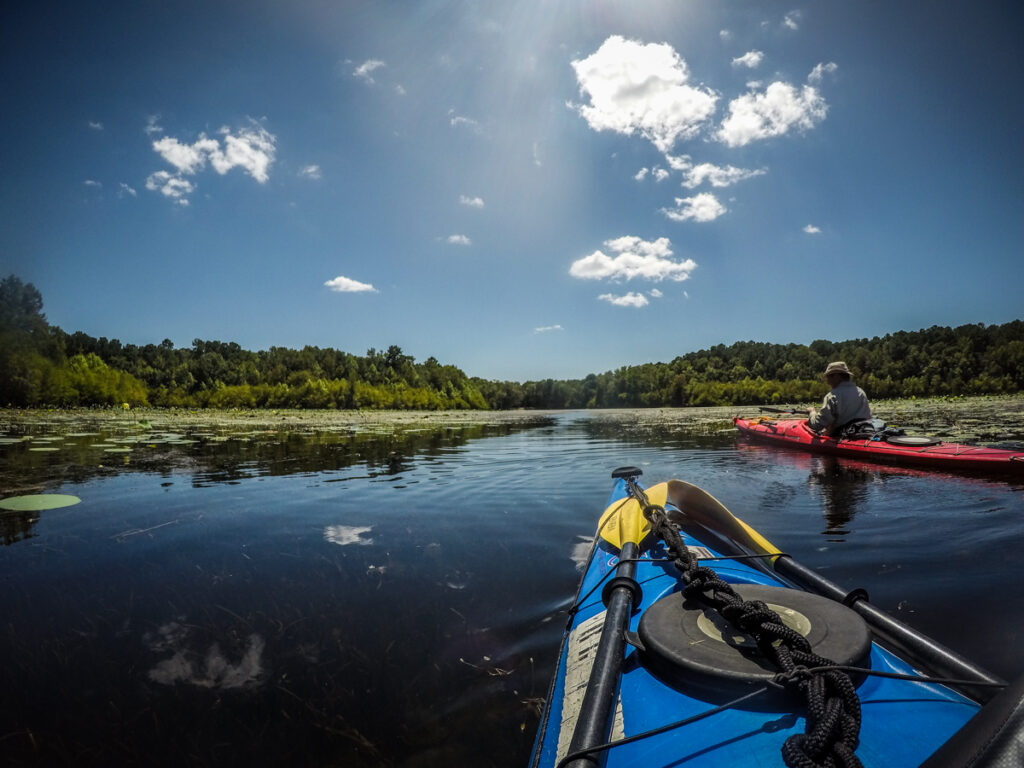
The first part of the paddle took us through some beautiful water lily and lotus fields. I took a few photos…
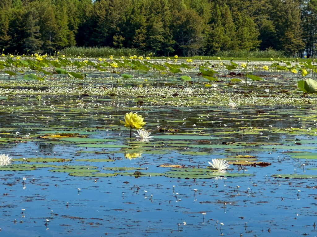
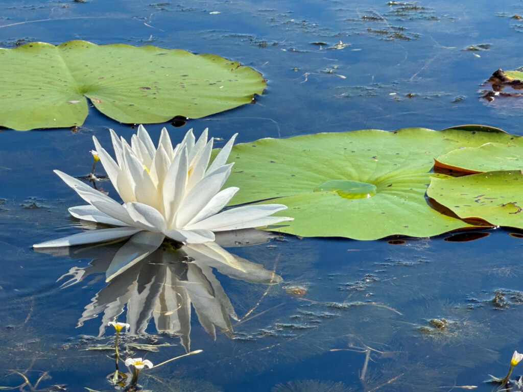
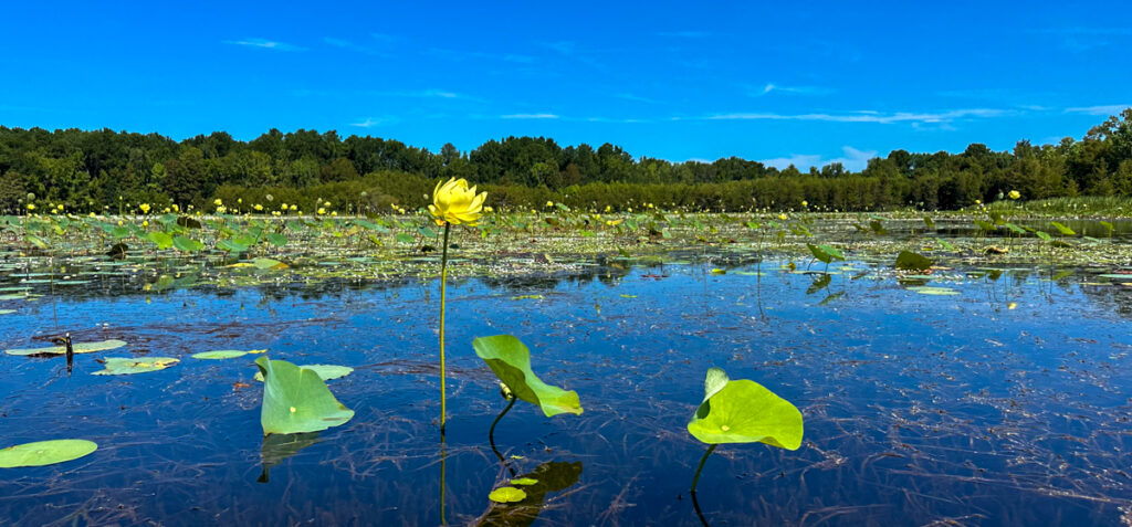
Perry’s photos are always amazing, and he did a much better job documenting the flora.

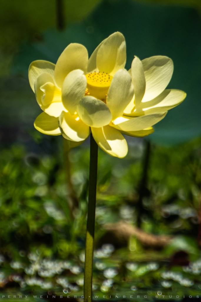


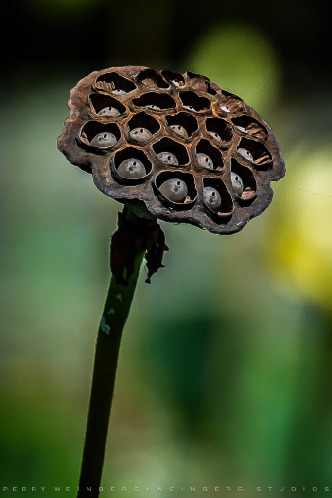
Thanks to Star Trek, these lotus seed pods always give me the willies.
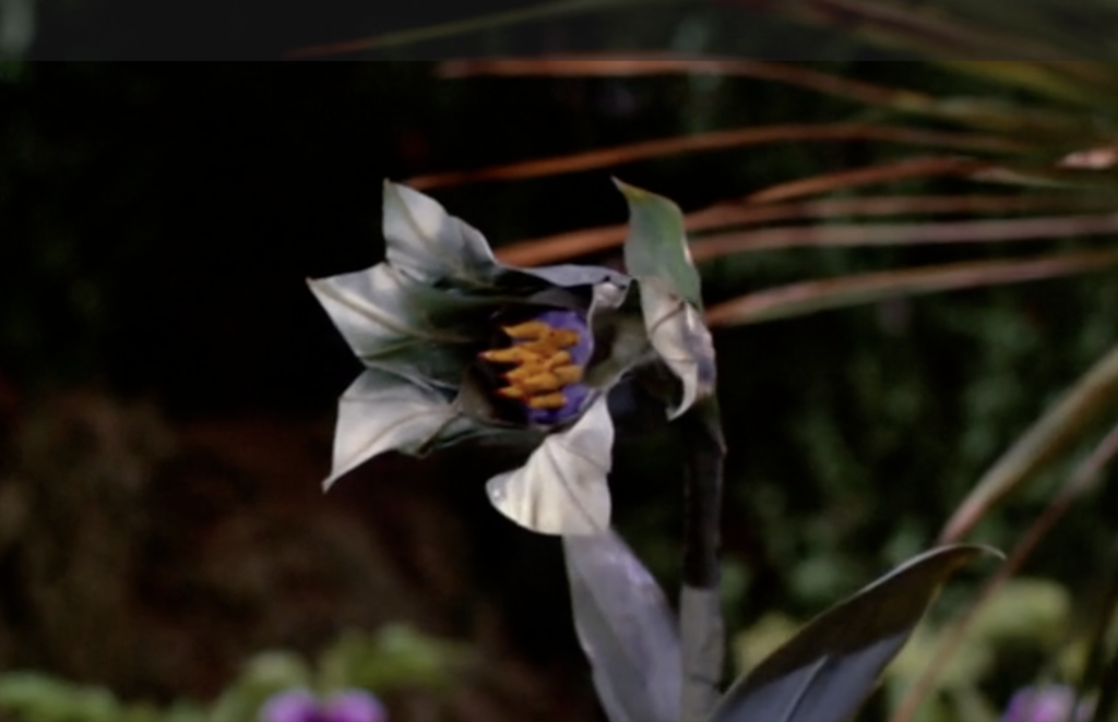
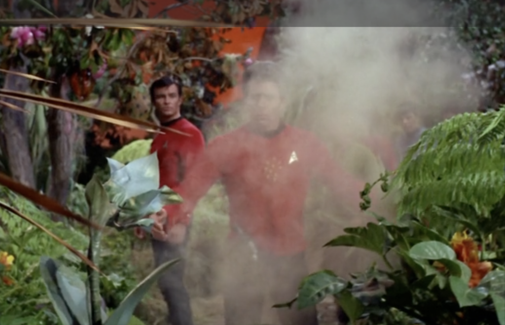
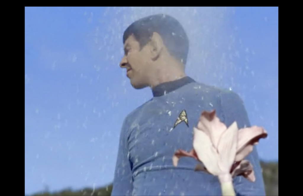
So I kept a safe distance from them. 🙂
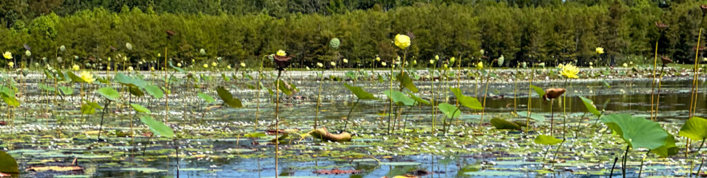
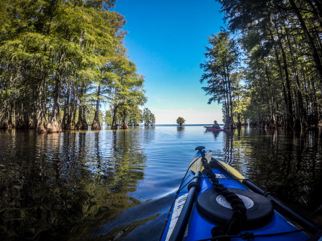
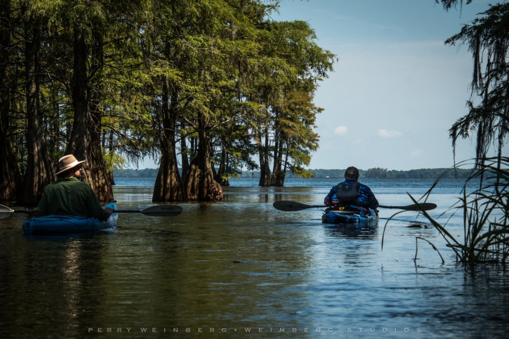
After crossing the lagoon a narrow channel leads through a cypress grove and onto the open lake.
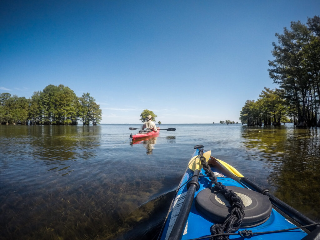
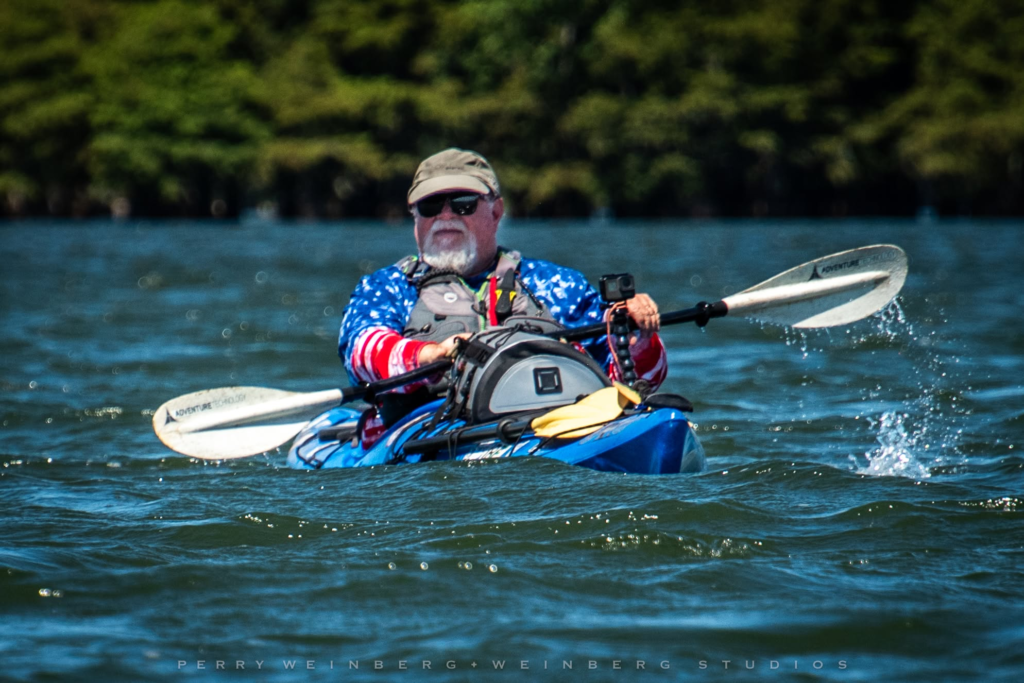
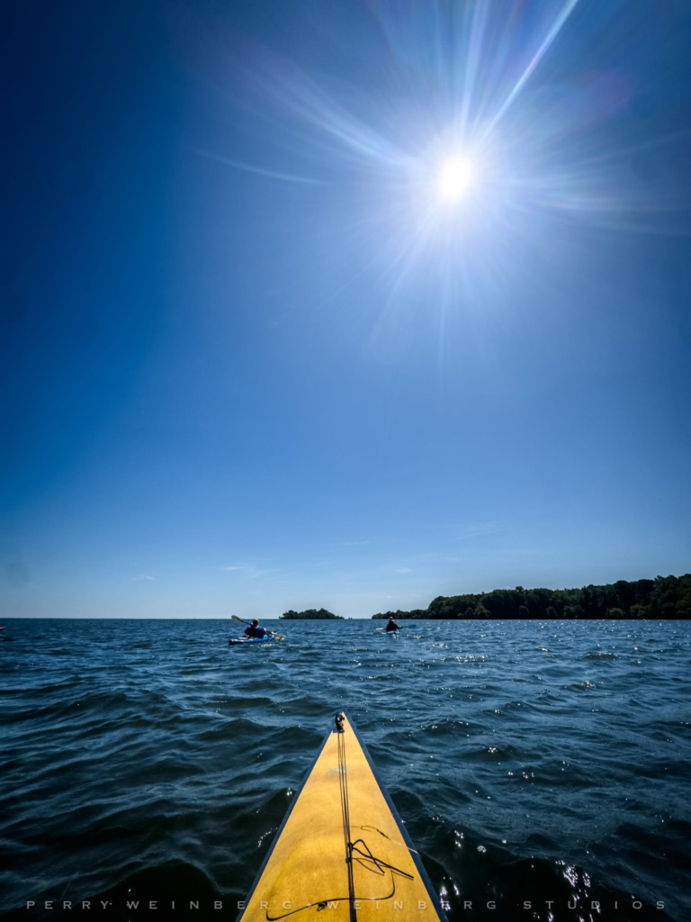
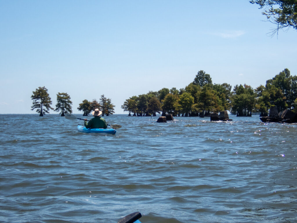
When we got out onto the open water the winds were much stronger than we thought they would be. Deep swells and white caps greeted us out on the lake.
I spotted a couple of hazard markers out in the lake. I had these marked in my GPS as the location of one of the housing neighborhoods for Ferguson.
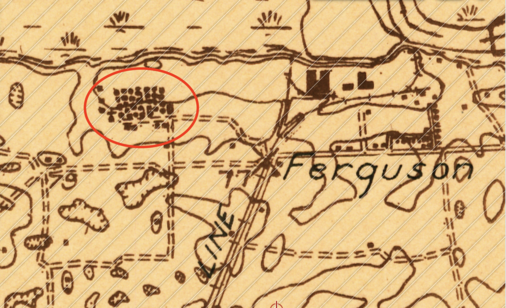
As it turns out, the water wasn’t as low as the 2008 drought, so we didn’t see much of anything.
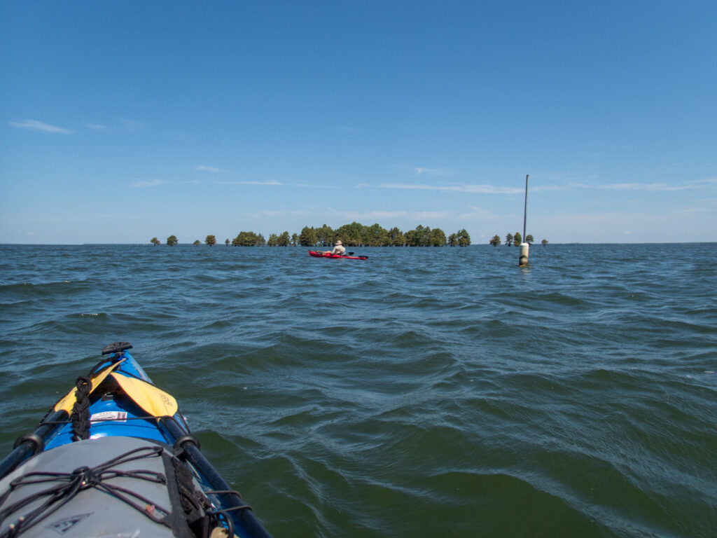
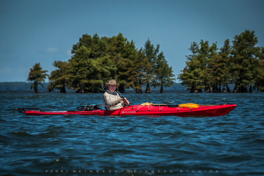
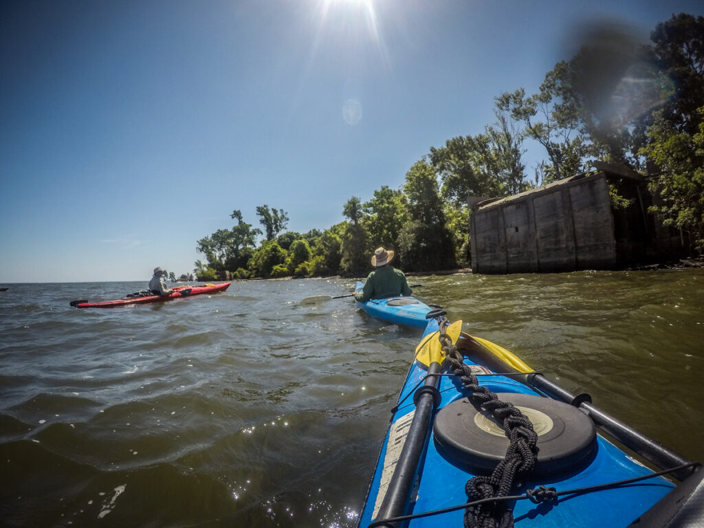
We made our way on towards Ferguson Island, proper, plowing through the swells. I don’t mind a bit of bouncy water out in the open water like this. Where it gets to be an issue is up closer to the banks. That becomes a problem in just a bit.
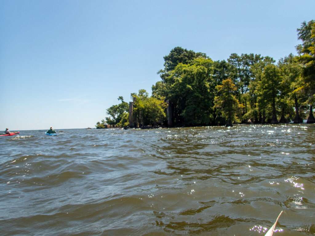
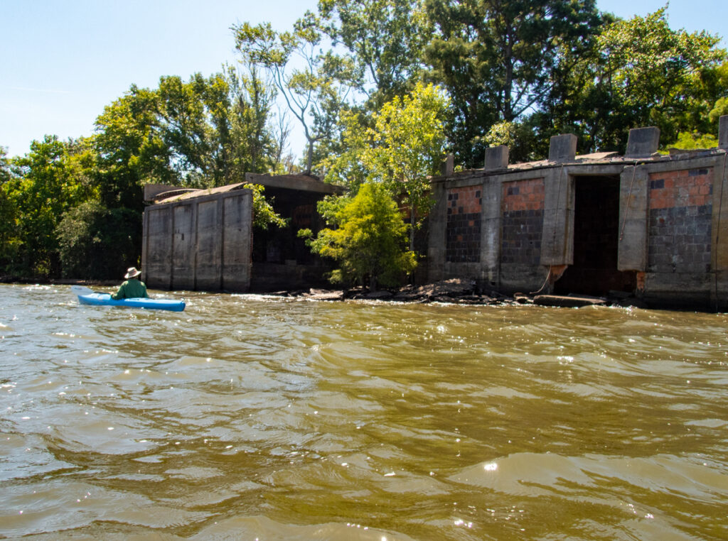
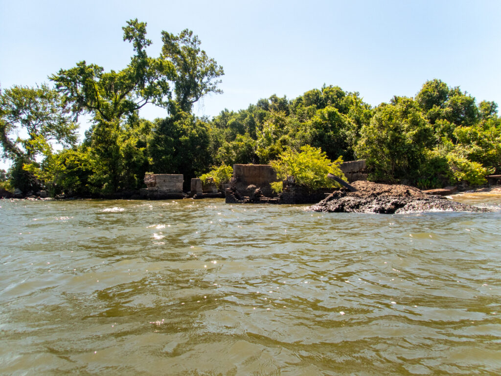
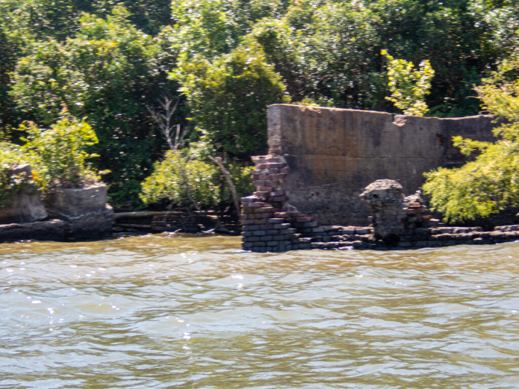
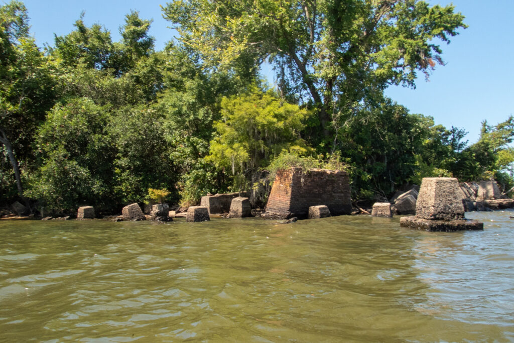
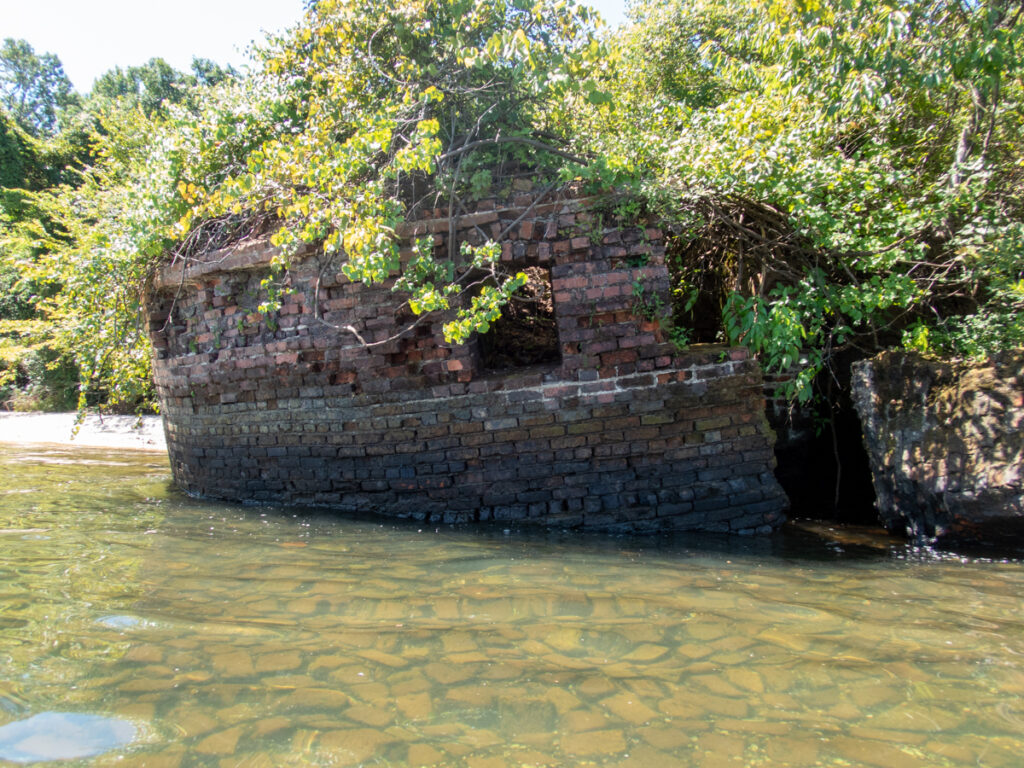
George thought that Ferguson Island was further out. Turns out it was much closer than we thought. Part of the problem is that the cypress trees on the west end of the island where the lumber kiln ruins are had grown up and obscured said ruins. Plus, parts are the kiln are falling in.
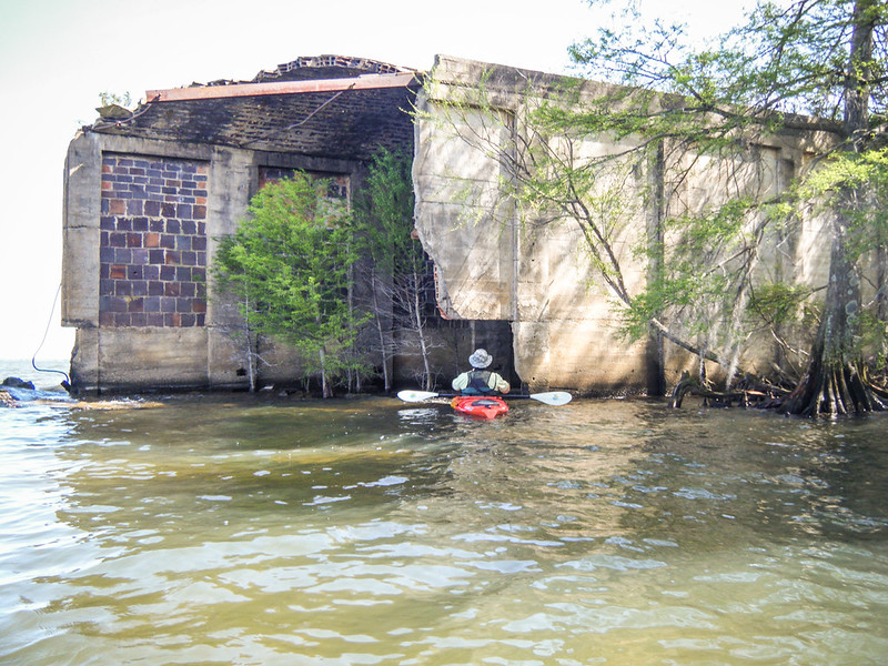
Here’s what these looked like in 2013:
And this is what it looked like on our approach this time:
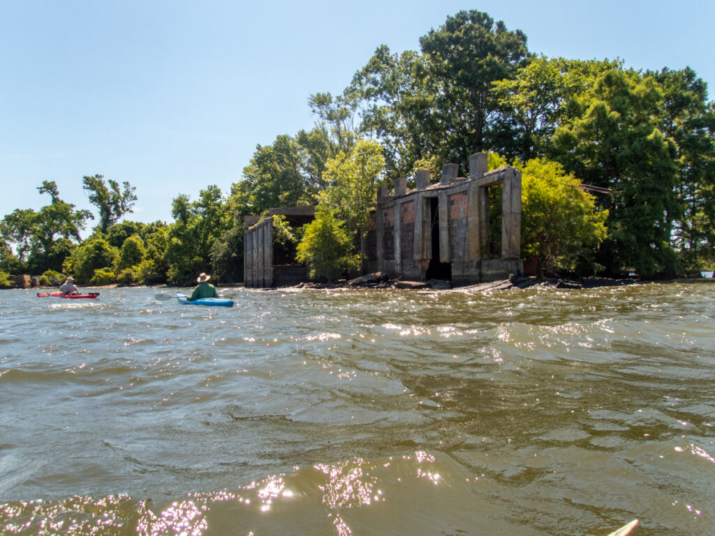
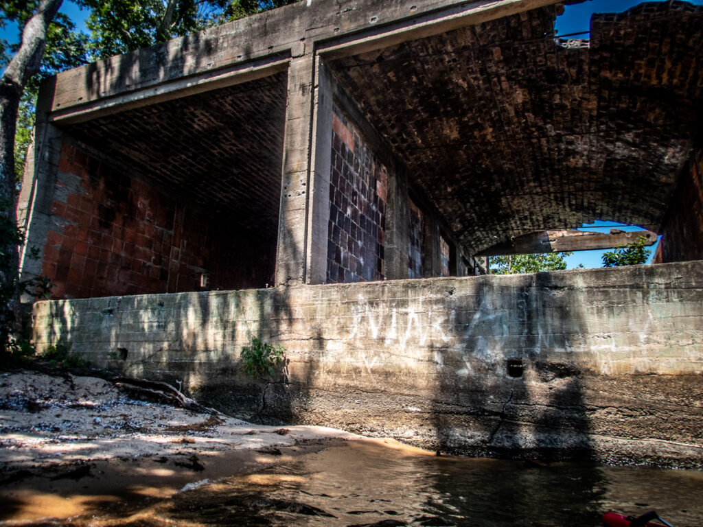
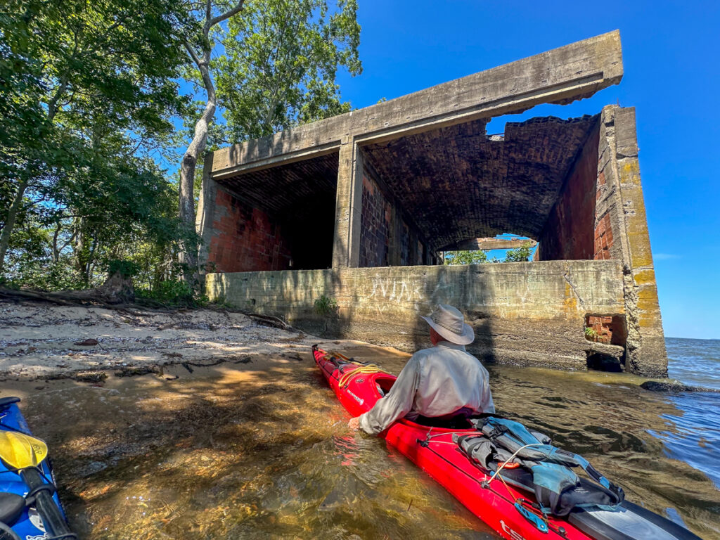
This is where the wind and waves really got to be an issue. There are pieces of the building out from the bank – large piles of bricks and cement just under the surface. These acted like reefs, creating breakers in the incoming waves. In the past we’ve landed just east of the kiln and explored it a bit. When we made that attempt this time, the waves were so strong that it was hard to get out. It was hard to even relaunch because the strong waves kept pushing us back up onto the beach. That, and the danger of running into submerged hazards in tricky surf made us rethink our plans.
I tried taking a few photos from this side, but it was difficult to maintain position for a decent shot, even with the GoPro.
I’ve posted this historical image of the lumber mill previously, but here it is again as a reminder of what used to be here. From the condition of the building, it looks like this was taken after it shut down.
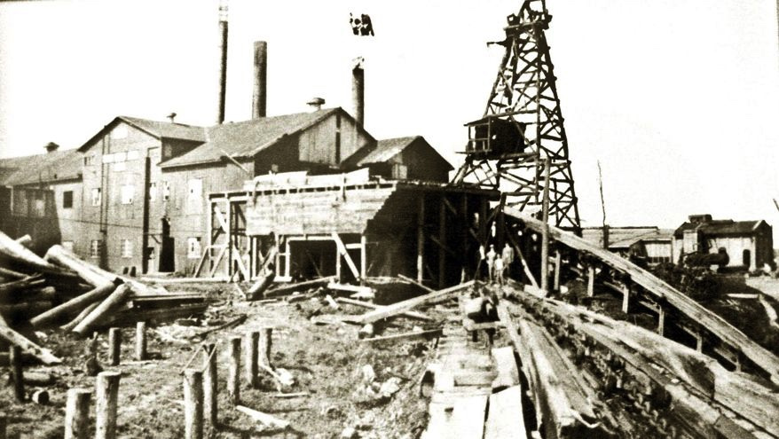
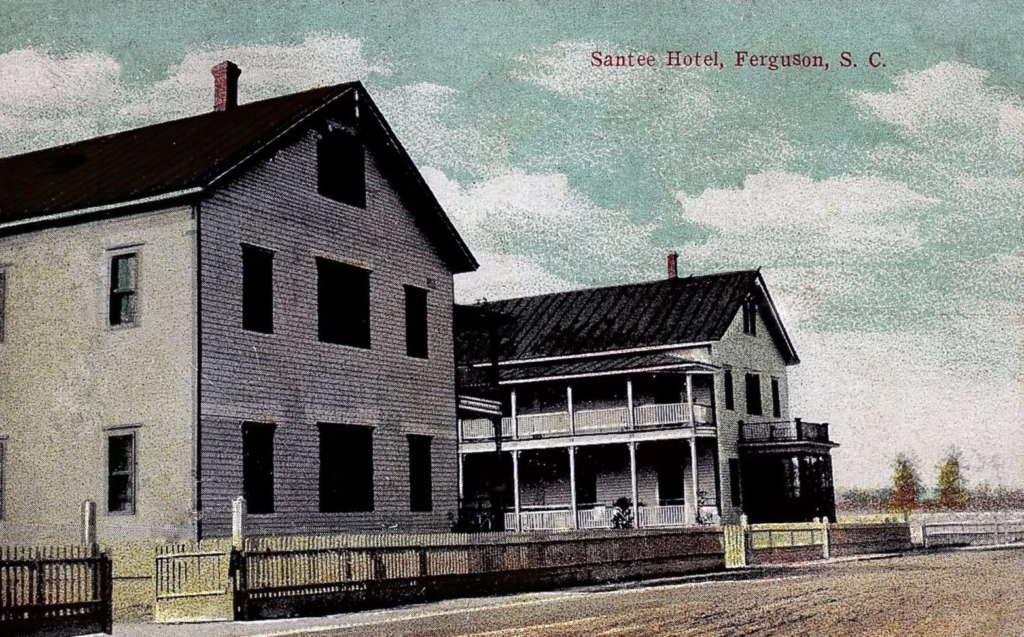
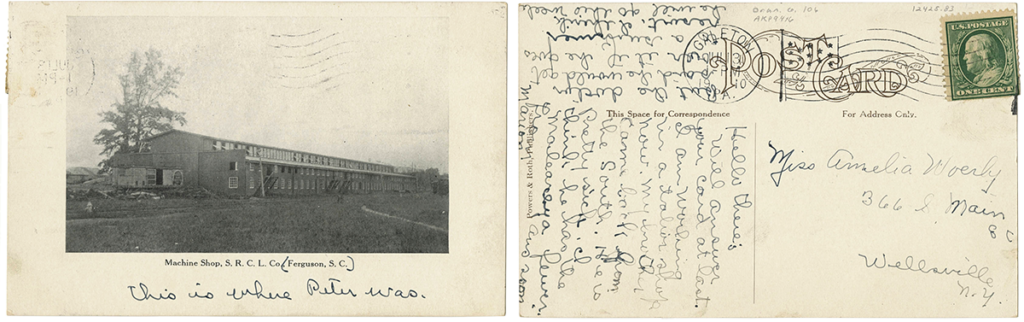
Since that previous visit I’ve founds some other photos of the old lumber town online.
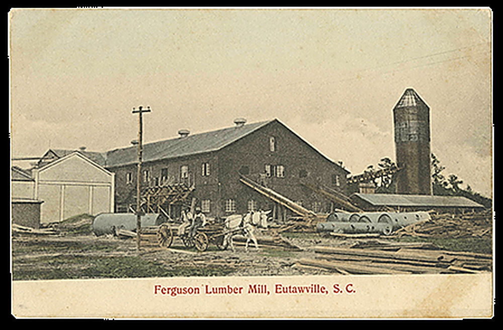
The image above kind of confirms that my first picture of the old mill was after it closed. In this one the tower is intact.
Ferguson is a popular topic. Others have written about it, and it’s always interesting to see what photos they use. My photos pop up without attribution all the time. Now, with AI slop, there’s a lot of garbage that has nothing to do with the town. The image above is an interesting case. Even though it is clearly labeled as “Ferguson Lumber Mill, Eutawville, S. C.”, I’ve seen it attached to articles about ghost towns in Florida, Alabama, and other locations. Sometimes the lower label is cropped, so I know this isn’t just an AI mistake. It’s intentional.
Oh well, back to our trip…
We headed to the leeward side of the island. There we found a designated campsite that George had used.
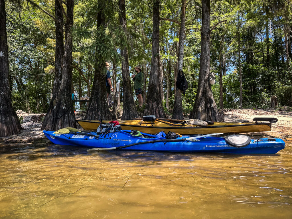
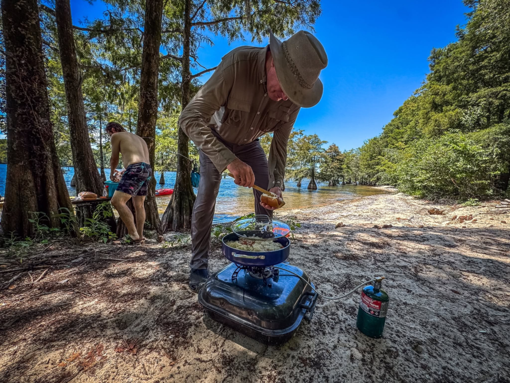
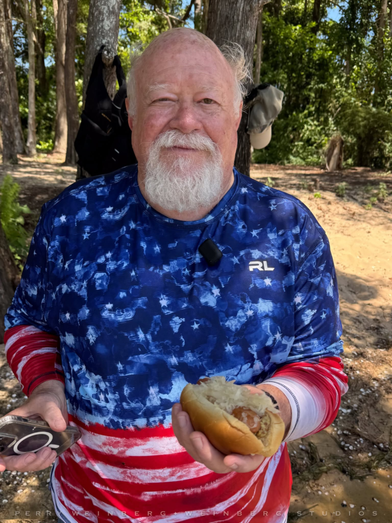
Even though this wasn’t a Lowcountry Unfiltered trip, George brought bratwurst and sauerkraut and we had plenty of libations. Kevin brought a growler with his latest home brew, and I had a sampling of Ralph’s Rocket Fuel™. We held communion, but I’ve got to ration that moonshine. After the Pickens Flea Market debacle I’m not sure I can get any more from Ralph.
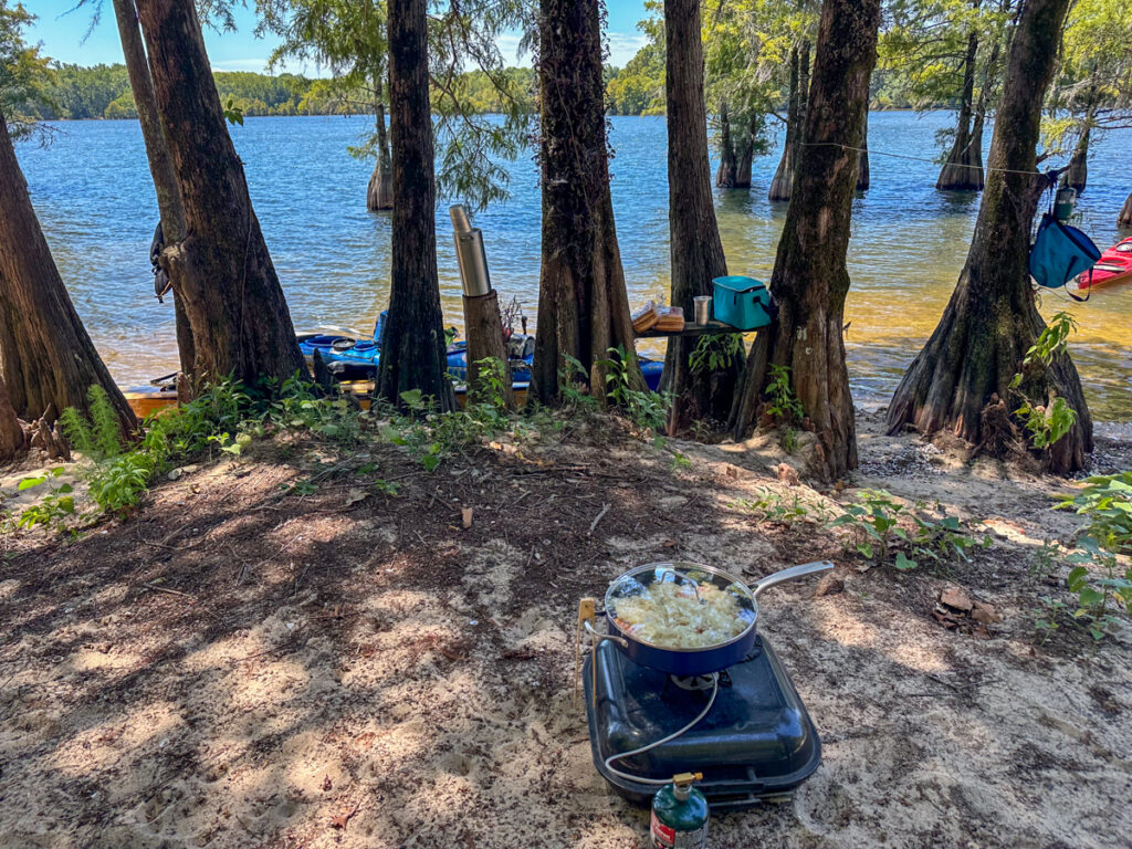
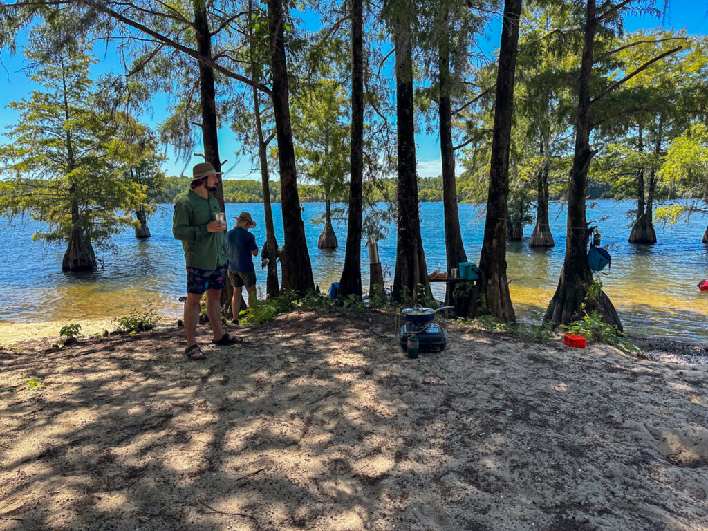
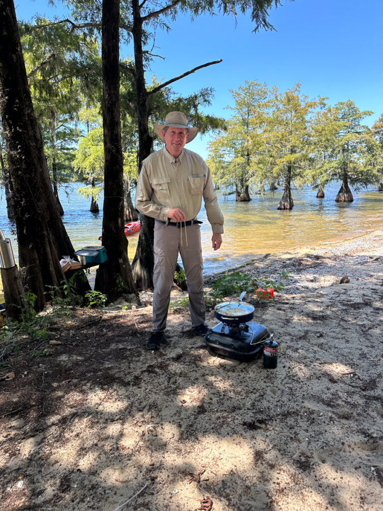
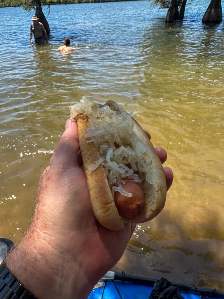
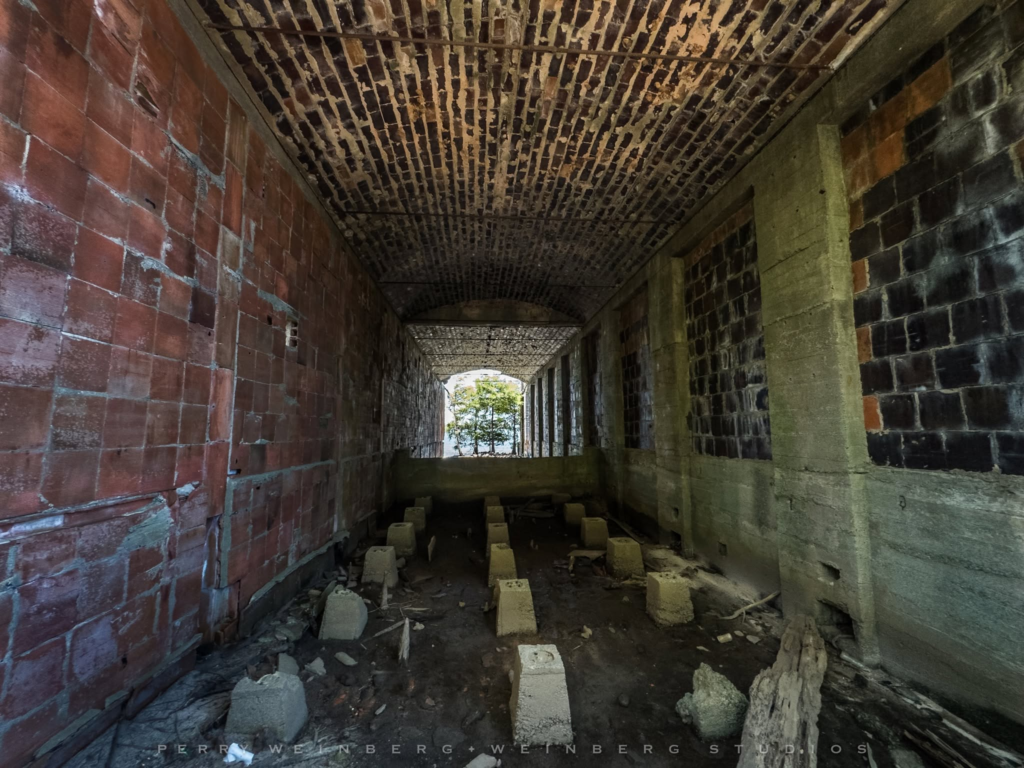
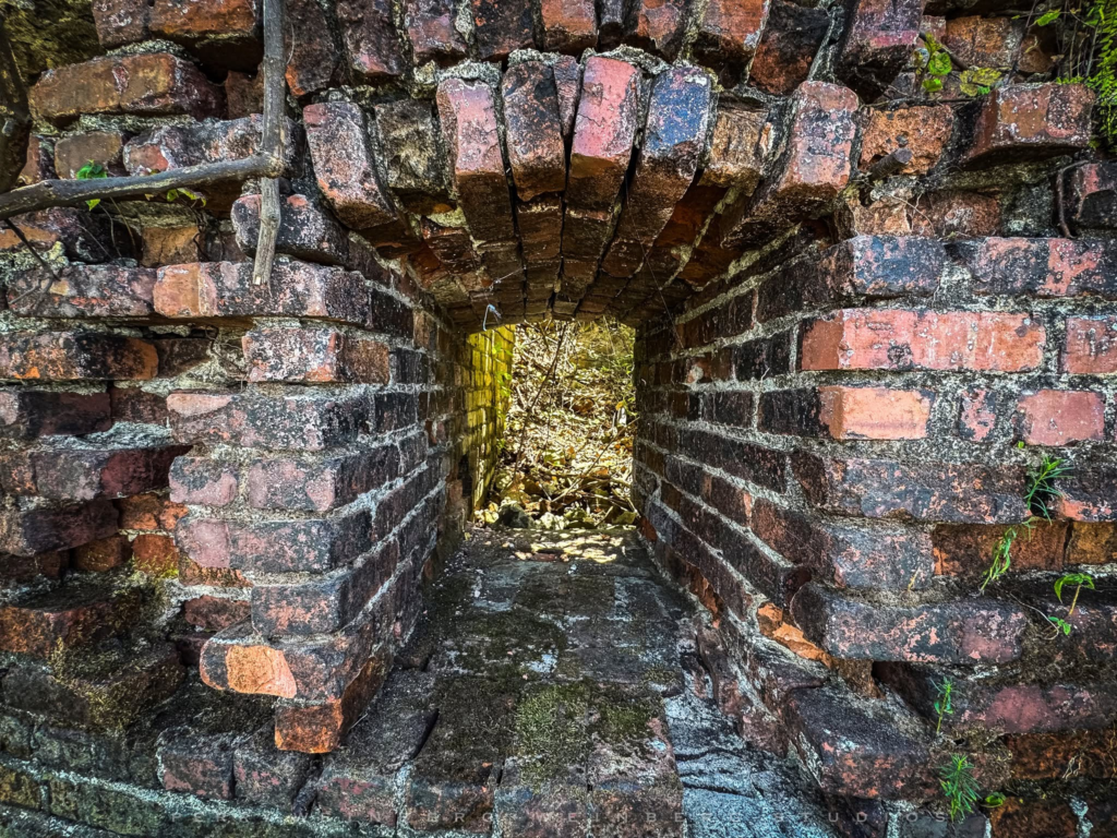
George, Kevin, and I waded out to enjoy the cool water while Perry hiked back to the ruins. Since he didn’t have to contend with waves he was able to get better photographs of the ruins. I regret not exploring with him, but I was too relaxed in the water.
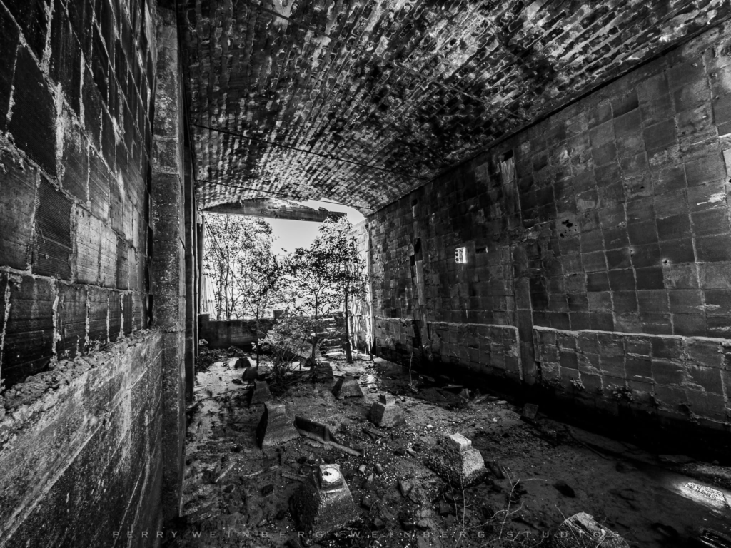
Perry joined us and we continued to relax in the water.
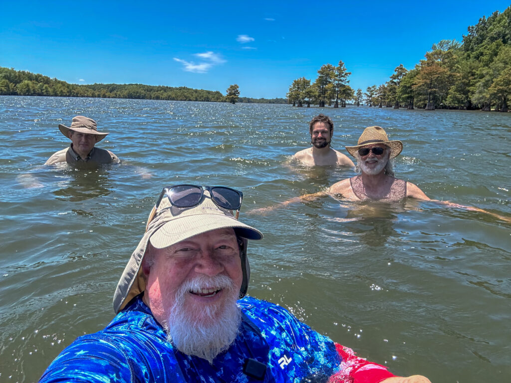
Perhaps we relaxed a bit TOO much. It was 2:00 and we still had to paddle back to the landing, then there was the 3 hour drive home. Add to that growing cumulonimbus clouds to our north. After loading up we paddled back pretty much without delay.
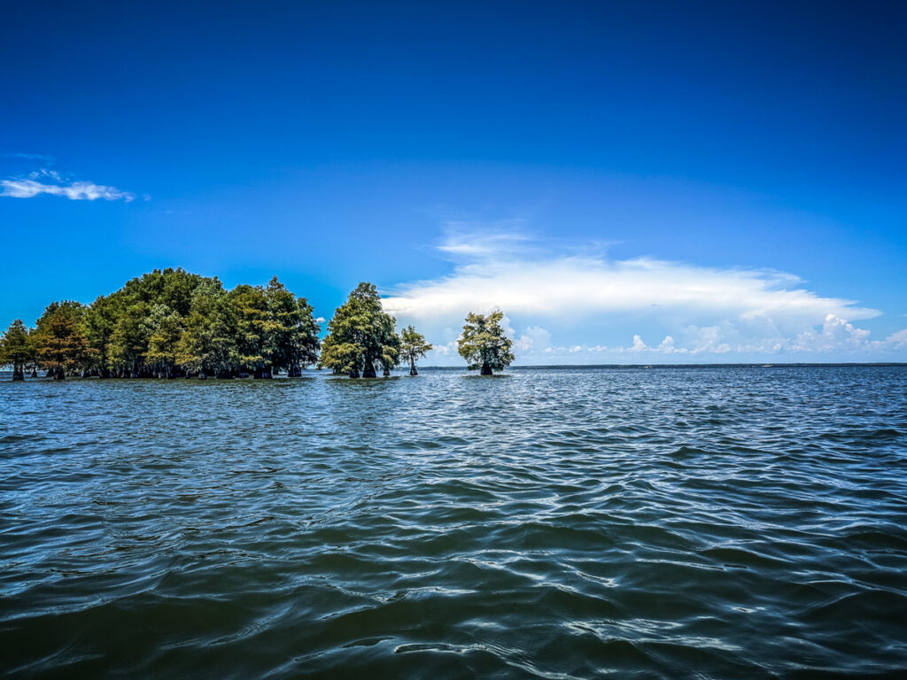
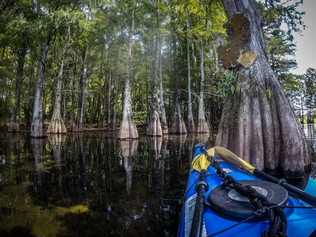
Speaking of weather, air temps were above 90º, but it hadn’t really been a problem. We stayed hydrated, and the breeze over the lake kept us cool. Even on the quick paddle back it wasn’t too bad. I will admit to enjoying being back in the cypress grove once we got there.
In all we paddled only 3.75 miles. I had thought it would be about 6 miles in my initial planning, but that was way off.
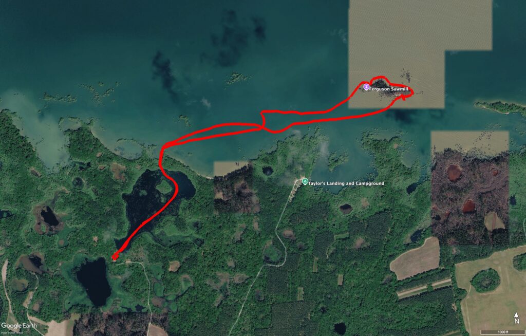
Even though the water was low, we didn’t get to see additional ruins, just the ones we’d seen before. It was still a great trip, and I really like the launch point we used. It’s shaded, remote, and doesn’t have the crowds of Taylor’s Landing. I think we’ll come back to that one when we return.
Of course I put together a time lapse. I’ve started inserting bits of regular video into the time lapse to give a better feel for the trip. I liked the way it turned out, and I’ll start doing that more often.
great post and super video