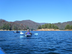
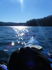
Since I had already missed a couple of trips, I really wanted to get some paddling in over the Thanksgiving break. I had originally planned to head up to Lake Jocassee on Black Friday, but the weather wasn’t very amenable. Saturday’s weather looked like it was going to be clear, but quite chilly. Despite the cold weather, Chip, Houston, Brian Goess, and I loaded up the boats and headed to the lake.
The plan was to paddle up to Wright Creek Falls, then explore elsewhere as time allowed. We had some time constraints, with football games looming in the evening, so we couldn’t spend all day on the water.
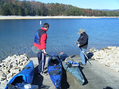
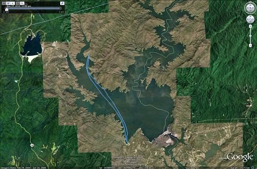
Right off the bat we ran into a problem. The upper boat ramps were closed because they were restocking the lake with trout. The only boat ramp available was the one next to the park store. That added nearly a mile of paddling to our trip. We hit the water a little after 11:00, so it was going to be pushing it to get to the falls.
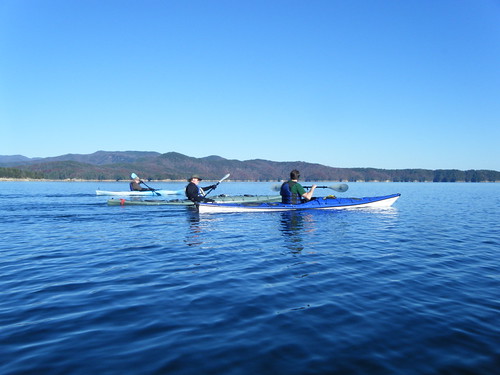
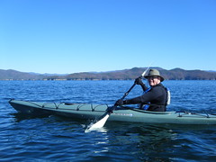
The water was frigid, but the air temps weren’t as bad a we thought. Pretty soon we were pulling off outer layers as we warmed up. The lake itself was fairly flat, with only a hint of a breeze.
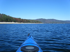
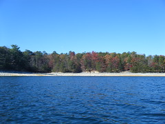
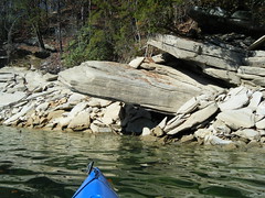
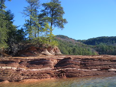
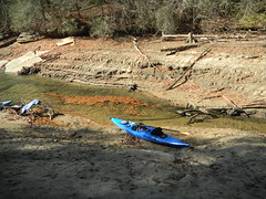
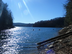
The lake levels were really down. Large sections of the bank were exposed. Sea gulls and other water birds hung out on exposed sand banks.
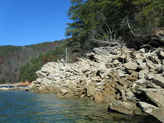
Jocassee is one of those lakes where the level really doesn’t matter. If the levels are high, the waterfalls can be really spectacular as they fall directly into the lake. If the levels are low, as they were today, then fascinating geological formations and shapes emerge from the exposed banks.
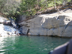
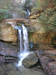
Even though we had further to paddle, we decided to try to make it to the falls anyway. I was the first to enter Wright Creek Cove, and I was shocked at how low the water levels were. I was able to beach the kayak and walk up to the falls.
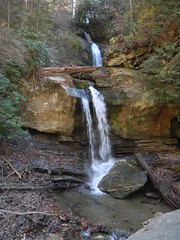
Here’s a shot of the cove and the waterfall…
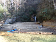
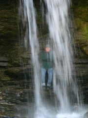
…and here’s the same view with high water levels…
That’s a dramatic difference.
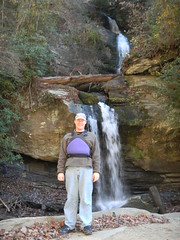
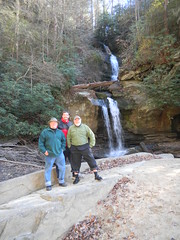
We stopped for lunch at the falls, and also to pose for a few photos at the falls.
By this time it was much later than we had planned, so we decided to paddle straight on back. As we hit the main channel a stiff head wind came up, raising a bit of a chop on the water. I was in my new Tsunami, and it cut through the chop with no problem. The others managed the headwinds in their boats, as well.
The headwinds and the extra mile really took their toll. We made it back later than we had planned, but it was still a great day out on the water. The total trip came to 8.73 miles.