I was on a quest to find traces of the old Swamp Rabbit Railroad. This isn’t the one that runs through Northern Greenville with which most are familiar, but was a train that ran across Barnwell, Aiken, and Lexington Counties. So far I already traveled the original route from Blackville to Sievern. Now I was going to deeper into the swamps of the Edisto, and losing my way in the process.
The Swamp Rabbit owed its existence to kaolin. The white clay from the Sand Hills region of the state was prized for its superior quality. It was used to make paper, as well as in the production of porcelain. The proposal for the railroad was that it would be used to transport kaolin from mines near Sievern to the rest of the state.
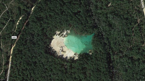
On my rambles I didn’t visit them, but the kaolin mines are clearly visible in Google Earth. I would imagine that these are not publicly accessible.
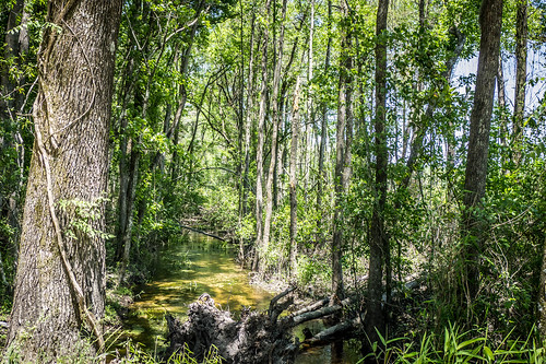
At this point I was a bit confused. Some of my sources said that the Swamp Rabbit only ran from Blackville to Sievern. Yet, there were several points of interest in the Bailey map that I was following that referred to the Swamp Rabbit in the section between Sievern and Batesburg. I guess as the railroad extended northward, so did the nickname. This part of the route traverses even more of the North Edisto wetlands, so the name makes even more sense along this stretch.
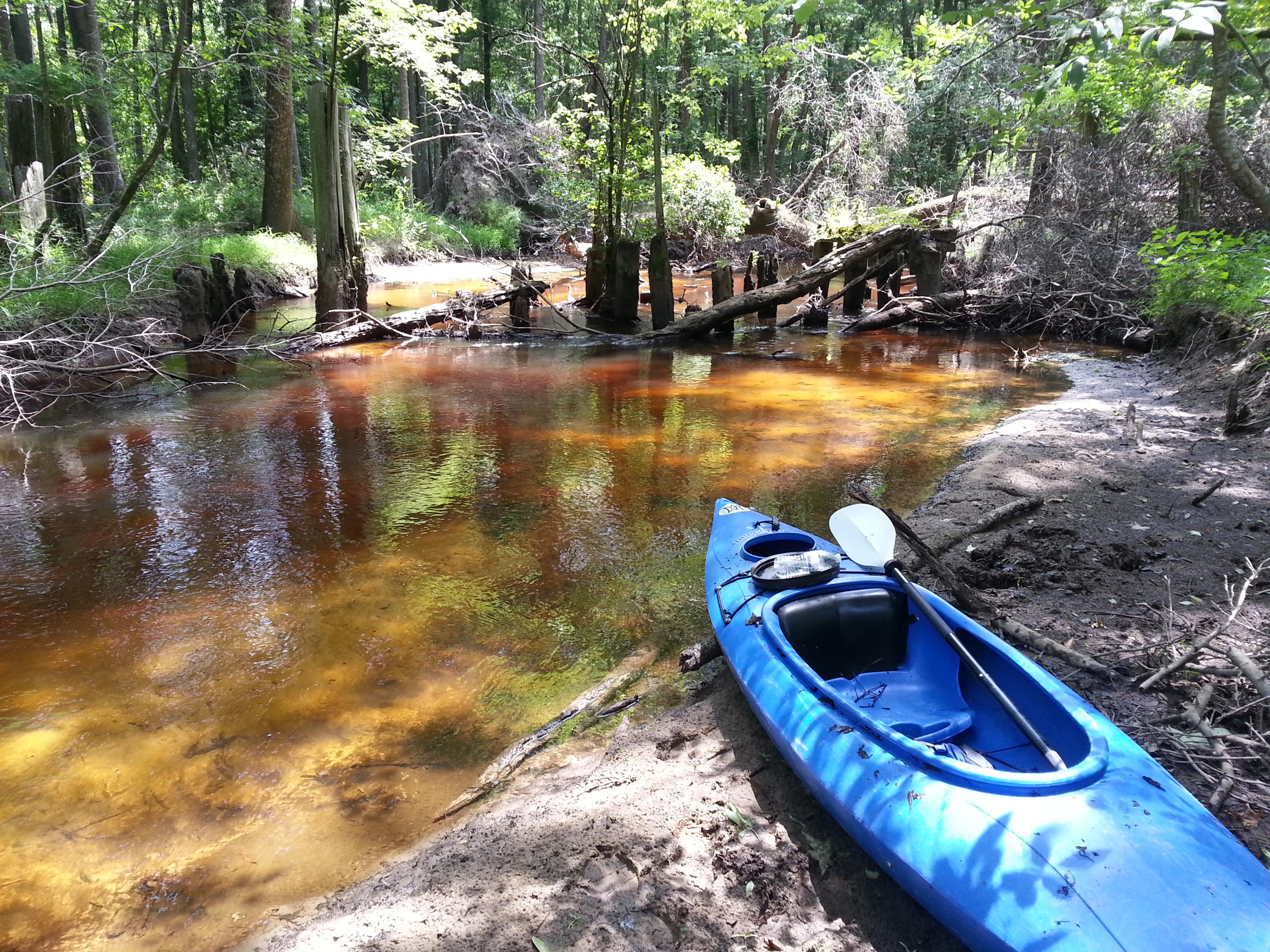
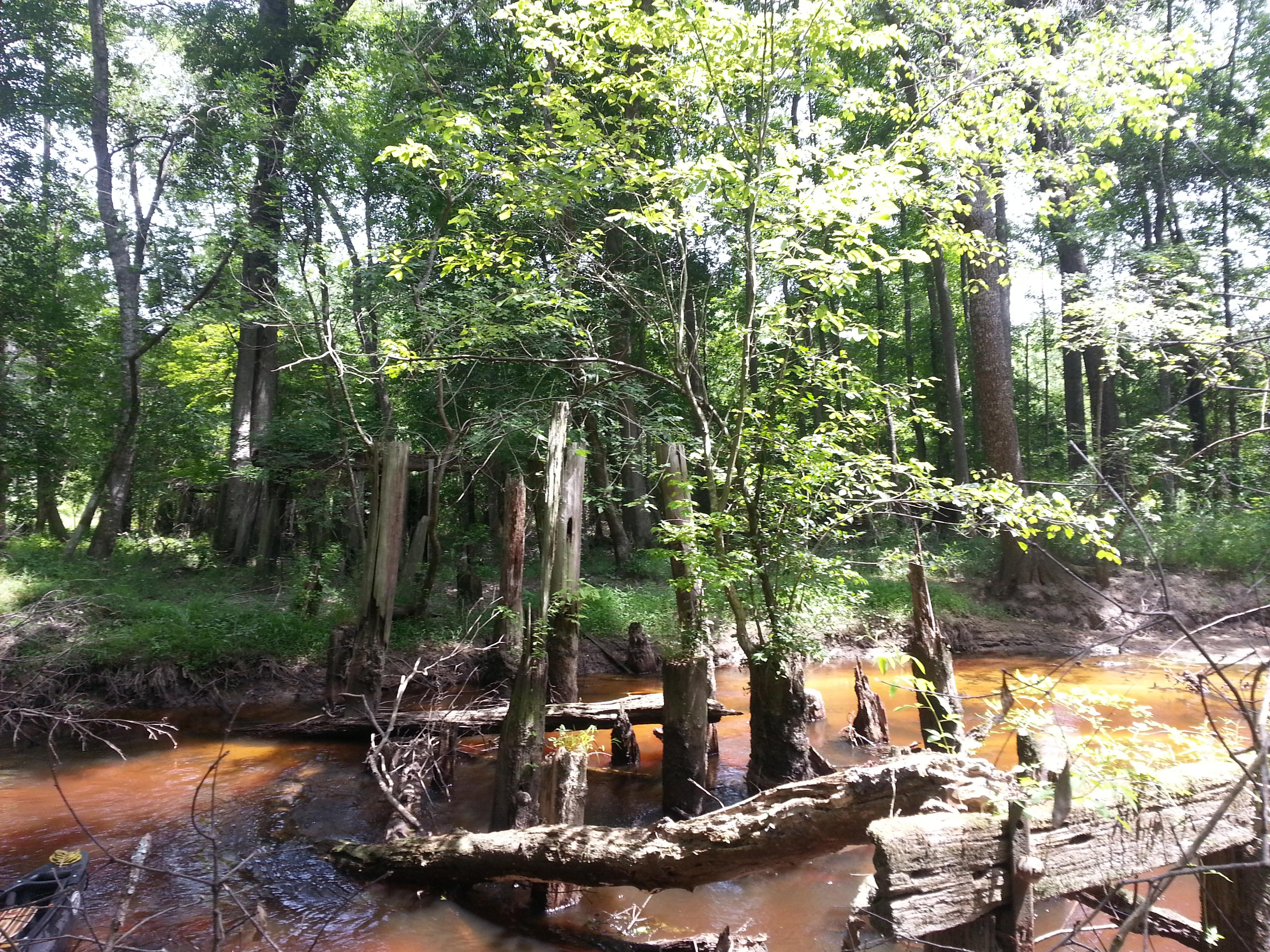
I had been unsuccessful in visiting some of my POIs for Sievern. The Sievern station and the old Edisto Academy were off-limits – for now. The next POI on the Bailey Map was for a railroad trestle across the North Edisto. Sadly, it looked like the only way to reach that point would be by river.
Some brave souls did take that trip and located the remains of the trestle. Hugo and Tom from the podcast Edisto.tv made the trip back in 2014 and featured it on one of their podcast episodes. On the podcast they describe a grueling paddle that was more of a wading/scrambling-over-trees event that paddling. The photo gallery on their website backs that up, with photos of them hauling kayaks over downed trees.
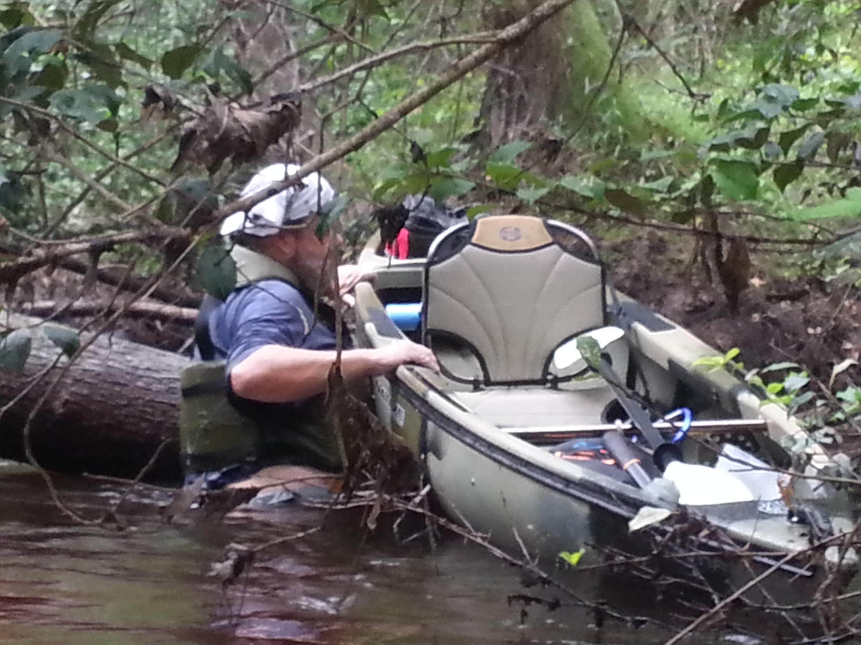
However, they were able to find the elusive remains of the Swamp Rabbit Railroad Trestle over the North Edisto.
I, on the other hand, was restricted to points I could reach from my car. The whistle-stop of Todd was just beyond the Edisto trestle, and also out of reach. However, next POI, Rayflin, was reachable.
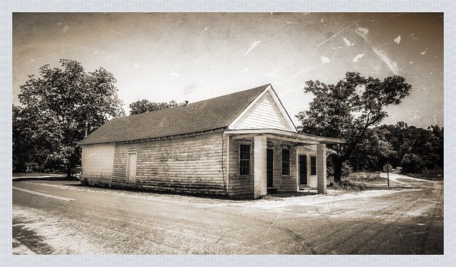
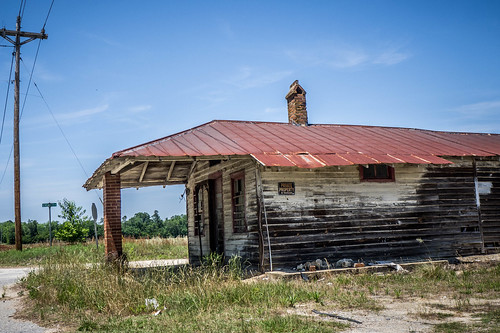
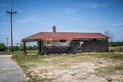
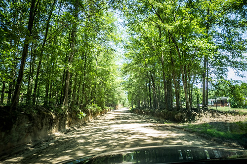
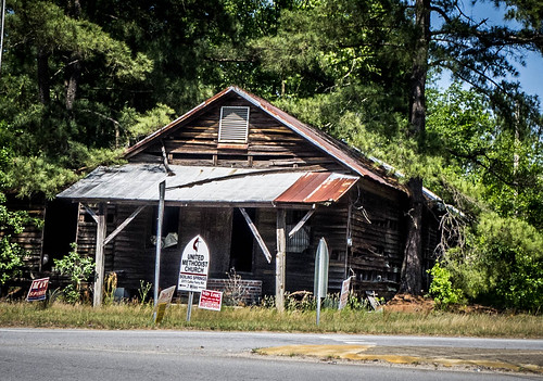
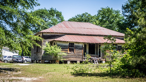
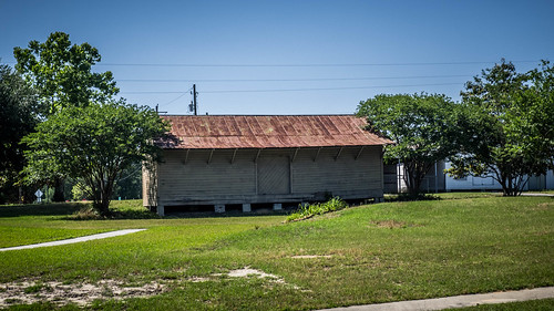
From Sievern I drove northeast until I came to the intersection with US 178 in the community of Fairview Crossroads, then proceeded north to the Pine Grove community, where I found this interesting old store.
From there I continued on dirt roads until I reached the coordinates. There were several old buildings at Rayflin, but no real evidence of the railroad.
Rayflin Bridge crossed the Edisto, and there was a family playing the shallow waters. There were deadfalls, and it didn’t look passable by kayak.

Mitch Bailey’s POI gives a bit more information about Rayflin:
Seems to have been more important when the main kaolin mining activity shifted from Seivern to “Chalk Hill” when Edisto Kaolin opened in 1910 just west of here across the river in Aiken County.
Rev. Buchner stated that the tracks near here was realigned into slightly different routings for improved curves in 1905. He indicated that the old rails were not removed at that time, and may well still be there.
Edisto Kaolin boasted the largest boiler operating in SC at that time.
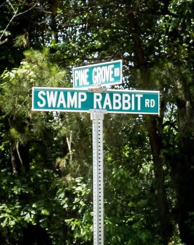
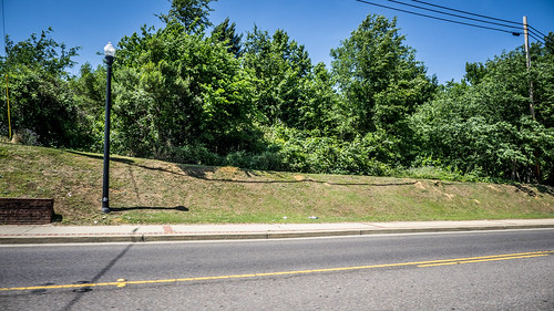
Retracing my steps, I came to the first real tangible evidence, a road named Swamp Rabbit Road. I had to follow it. The fact that there was a sign pointing toward a “mill” was just icing on the cake.
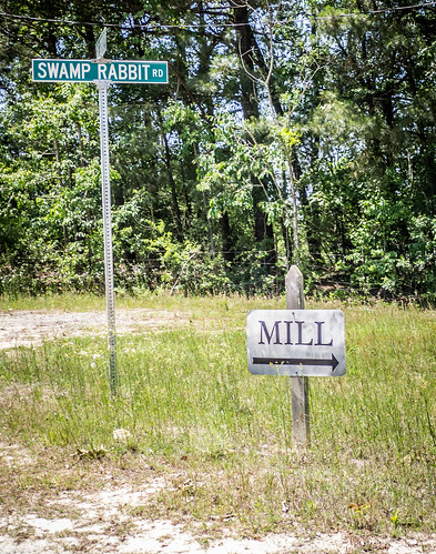
The mill was Gantt’s Stone Mill, a mill for grinding grits. This particular Sunday it wasn’t open. A Mother’s Day gathering was taking place at the house next door, with overflow parking at the mill. I couldn’t even stop to take photos. I had really picked the wrong day for this excursion.
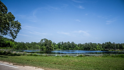
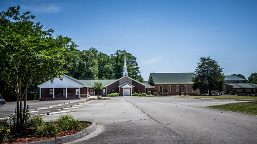
Swamp Rabbit Road rejoined the railroad and ran with it until reaching the community of Steedman. This was an interesting little community on a large pond. A logging company was the largest business, but it looked like the community now centered on Steedman Methodist Church. The Bailey map lists this as a “principal stop” on the Swamp Rabbit.
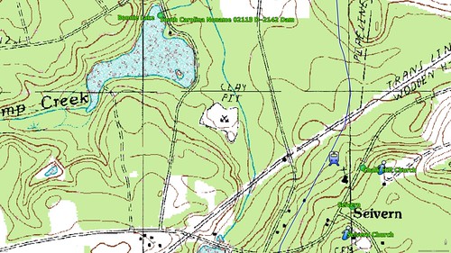
From here things get a bit murky, as did my route. The route on the Bailey map was conjectural, based on map contour lines. My next POI was an old bridge support at Ridgell’s Pond. Google Earth showed two bits of land jutting out into the pond to support the railroad, so it made sense that it would be the path.
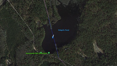
However, at the only place with a view across to the old bridge there were several trucks parked. There was one woman standing atop the ridge with a 9mm pistol strapped to her side and a mean disposition. As my friend, Alan, would say, “She looked like she would hurt you.” I decided that a stranger pulling up and asking questions wouldn’t be the best thing at this point in time, so I kept going.
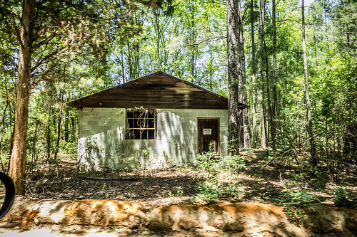
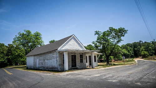
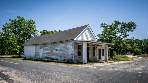
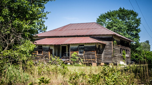
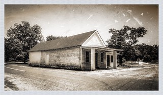
My next POI was the community of Samaria, which Bailey describes as a “request station.” This was an interesting little isolated community with a small church and old country store. I didn’t see any sign of the railroad.

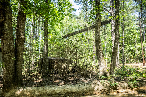
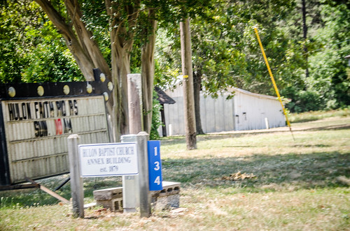
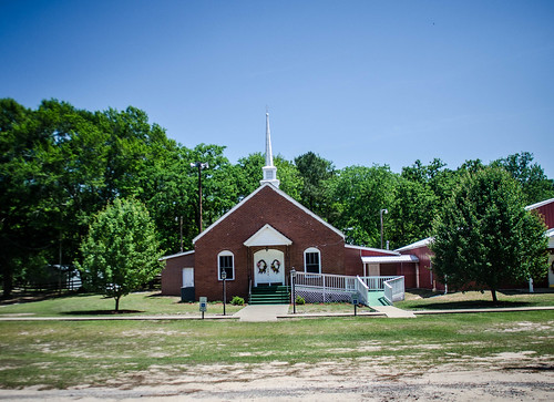
For the next several miles Bailey had several road cuts and visible right-of-ways marked, but I didn’t really see any of these. I continued until I reached the community of Hulon, where Bailey had marked a visible road crossing. I wasn’t as interested in the crossing as I was in the old Hulon School. At least, I think this might have been the school. The church was across the street.
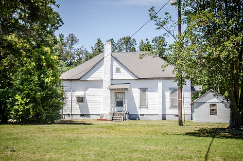
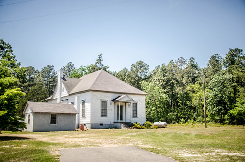

I couldn’t find any photos of the school in the SC Archives, so I’m not sure if I found the right one.
I continued on until I reached the town of Batesburg. According to the Bailey map there had been a bridge across US 1, but Google Earth doesn’t show any evidence of it. I was able to find a raised berm that might have been a support.
At this point there was a Y junction where the railroad joined an east-west route that still exists.
So far the day was getting away from me, and I was getting tired. I had started early at Blackville and made my way along the Swamp Rabbit. I had found lots of evidence of the railroad, but had been thwarted with some of the places I really wanted to see. I was not done, though. I was still curious about the part of the railroad that branched off at the town of Perry toward Pelion. I drove along US 1 for a bit, then turned southeast on Pond Branch Road, roughly heading toward Pelion.
Along the way I came to Enon Lutheran Church, and my GPS started bonging. I’ve got it set to alert me when I get within range of an old school. In this case it was the former Poplar Springs School, now serving as a community center for the Enon church.
I was able to find this school in the SC School Insurance Photos archives:

At the intersection of Pond Branch Road with Calk’s Ferry Road, in the Boiling Springs community, I found this old store:
Eventually I reached the community of Edmunds, near Peach Tree Rock Preserve. To get there I had to drive on one of the bumpiest dirt roads I’d ever driven. Edmunds was the terminus of the line from Perry.
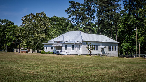
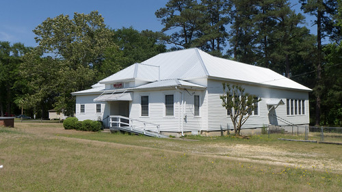
But, there was a bonus. On the other side of the tracks was the old Edmunds School.
I also found this one in the SC School Insurance photos:

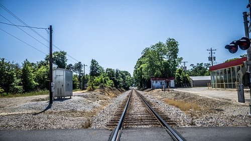
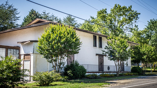
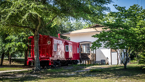
I made my way on down to Pelion. Here there was ample evidence of the old right-of-way. Also, like many of the other towns I’d visited on this trek, there was walking trail along the ROW, and an old Southern Railroad caboose, right next to the town services building. There was also an old cargo depot.
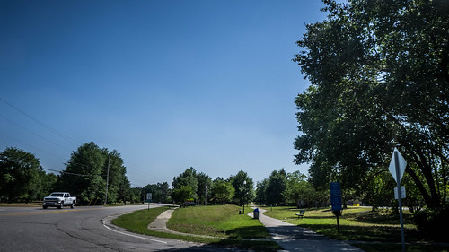

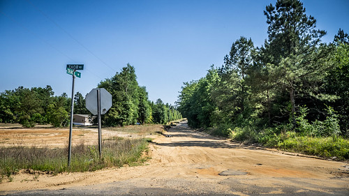
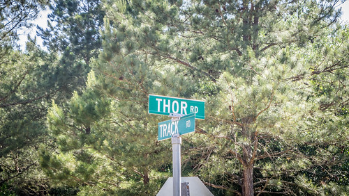
I didn’t think I had the energy to make it all the way back down to Perry, but I had one more spot I wanted to find. The community of Thor was a request station just north of the Edisto. It was said that the town was named by the daughter of one of railroad executives. With a name like that I had to check it out. There wasn’t really anything there – just a crossroads, with a dirt road running along the old railroad line.
For this day my exploration of the Swamp Rabbit Railroad was complete. I knew there were gaps in my data, and I was disappointed that I hadn’t been able to visit some of my prime spots. However, I had been able to trace a significant portion of the old railroad. I do have some follow-up places to visit at some point. I want o see the display on the Swamp Rabbit at the Wagner Museum, I’d like to read the Buckner books at the Lexington County Library, and I’d live to visit the Lexington County Museum. I think that could be done in the near future.
A couple of other observations before I close out this exploration. First, I found a great map online of historical locations throughout Lexington County. While most of the information is excellent, they have conflated this Swamp Rabbit with the one in Greenville County. Among their photos of the railroad is the one of me as a seven-year-old standing in front of the Swamp Rabbit Train in the old Echo Valley Park! Go figure.
And finally, I find that there is a third, completely different railroad in South Carolina called the Swamp Rabbit. This one ran from Blacksburg down to Gaffney. Sounds like I need to schedule another photo trek. Maybe I could even pitch my own TV series. Instead of “Finding Bigfoot” it could be “Chasing the Swamp Rabbit.”
“Chasing the Swamp Rabbit” would be a great title for any number of things. Cool idea, and could fit many concepts.
Tom, you were literally a mile from my house at one point and all over my stomping grounds. Let me know when you are back out this way, and I will trek along with you!
Excellent series Tom. I had heard of the swamp rabbit railroad but did not know exactly where it was or its purpose. Thank you for the edification. The Steadman area is Gunter. I’m kin to the Gantt Mill family through marriage. My mom’s two sisters were married to Gantt brothers. I live in Batesburg right off highway 178.
Wonderful series, Tom. Thanks for posting.
Thank you for the article. Does anyone know the location of the turntable that was in the Seivern community? I own property at 133 Toy rd in Wagner SC directly across from the old train depot. My property is terraced leading me to believe that it may have been some sort of switching area for the mine.
Interesting. I was on Toy rd today. A buddy of mine actually lives across from your gate. We walked some of the old train bed and he showed me the still standing depot station. He recently found some old coins in his yard. The story my friend told me was the train was being robbed and the passengers threw there money and valuables out the windows. I dont know if that is true or not. I went to his house today and wanted to look for some coins. So thats why im here to find information on that particular incident. I have learned a whole lot in reading about the ol swamp rabbit. I actually have some land in blackville. And believe it or not but my uncle used to own a barbershop on main street in blackville. Im almost positive it was next door to the building pictured in one of these writings. I sure wish my grandad was still alive but he recently passed. He was from healing springs and he built a nursing home there which has now been torn down. But the little white house on the left was his mom and dads house. My aunt lives there now. He was 87 and he new all sorts of good history stories of the area.