Monday, July 28, 2014
I had no vestiges of my headache. Neither had the wine tasting brought back the sickness from earlier in the day. Laura and I decided to leave the Napa Valley and explore the coast. We drove back up to Calistoga and crossed the mountains over to Santa Rosa. From there we continued on through Sebastopol, then down to the coast and the little town of Bodega.
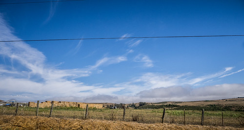
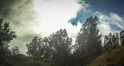
It had been clear sunshine in Wine Country and across the mountains. We were enjoying the trip with the top back in the convertible. However, as we approached the town we could see clouds of fog gathering along the coast. It looked very ominous.
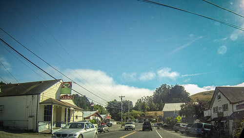
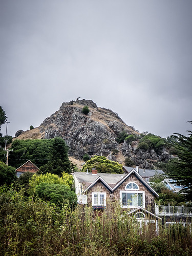
Bodega is a quaint little town. There were some interesting buildings, such as an old church and school. There was quite a bit of activity along the main highway. However, we had a long way to go today, and we didn’t stop for photos. These were shot from the car as we drove.
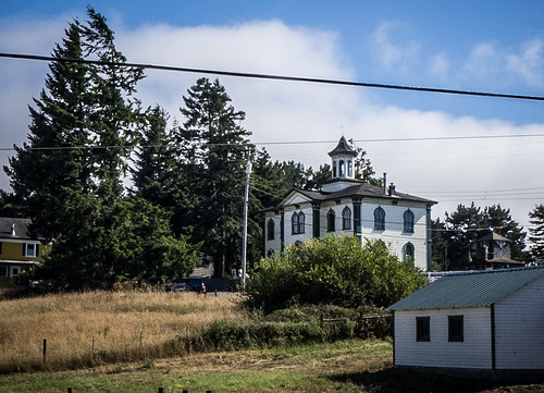
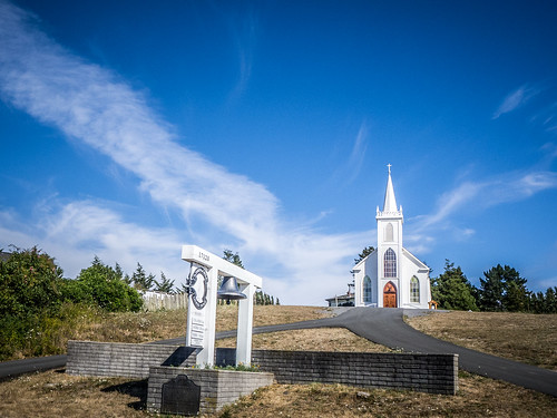
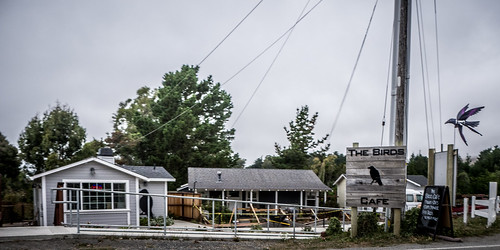
The road descended further down to the coast, and soon enough we found ourselves in Bodega Bay, made infamous by Alfred Hitchcock’s The Birds. In fact, the old Bodega school in the photo above was featured prominently in the movie. Had I realized that at the time I would have gone back for more photos. Bodega Bay itself is reminiscent of the movie. However, many of the scenes, such as the gas station, diner, and house scenes were shot on a Hollywood back lot somewhere. We did see a Birds Cafe, but it looked nothing like the movie.
I did find a fascinating video on YouTube that does a scene-by-scene comparison of clips from the movie with actual clips from Bodega and Bodega Bay. This clearly shows the school house and many of the other locations.
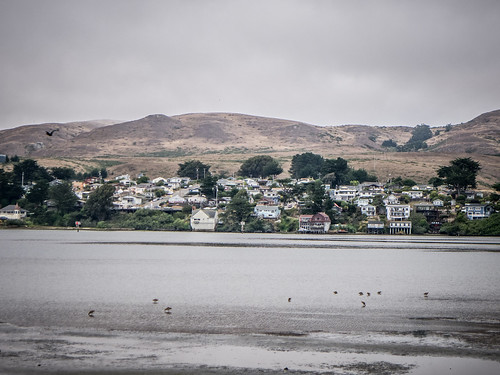
We drove to the marina on the other side of the bay. While there were a few pleasure craft and vacation cottages, this looked more like a working fishing village.
While we were stopped in Bodega Bay we made arrangements for our first night on the road. From the map we couldn’t tell if there was much along this part of the coast. Fort Bragg looked like it would have more options for lodgings, and that’s where we were able to make reservations. However, it was an ambitious destination, as it was already mid-afternoon and we had a long drive ahead of us.
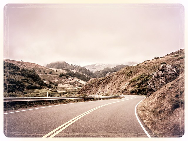
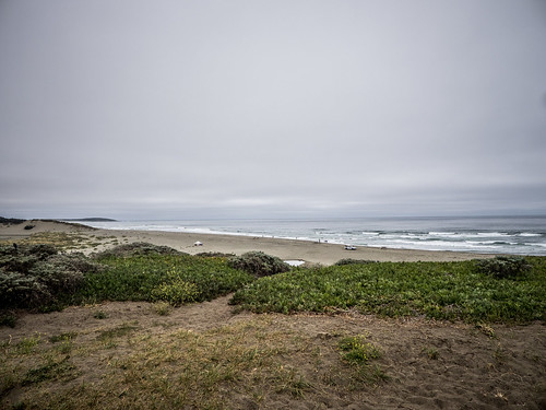
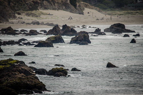
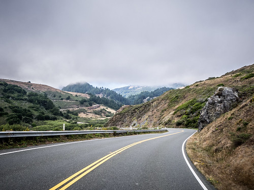
We continued along the Coastal Highway headed north. Even with the fog the views were spectacular. It was tempting to stop at every overlook and pull-out for photos.
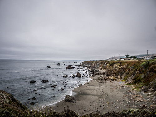
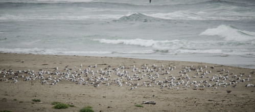
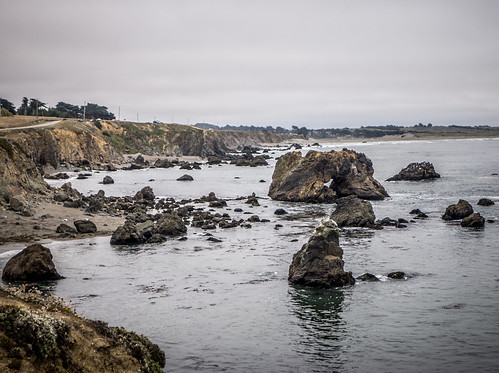
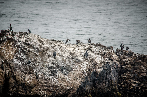
About five miles north of Bodega Bay we find a place to pull off and take a closer look at the beach. There were lots of gulls, and some cool arched rocks.
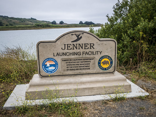
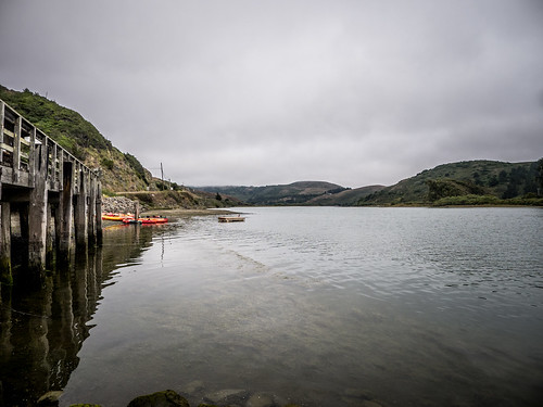
We continued on our way. Several miles along we crossed the Russian River and paused at the kayak launch at the little town of Jenner. We had seen several amazing places to launch a kayak, and I was more than a little jealous every time we passed a car with boats on top.
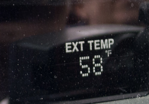
The twisting road continued, hugging the cliffs and passing through desolate coastal landscape interspersed with small beach communities. While the temperature was in the mid-90s in the Napa Valley, it was now down to 58º.
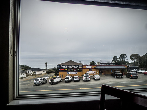
When we reached the little town of Gualala, decided it was time for dinner. Our choices were the Bones Roadhouse, or the Coastal Azul Bar and Grill. We opted for the latter, as having less of a “biker bar” feel to it. Food was good, but the view was even better.
It was now early evening and we had a LONG way to go. Our hotel was still 60 miles up the coast, along a very foggy, twisting road. The rest of the drive went by as a tiring blur. I’m sure we missed some fascinating things, but there was no way were going to see everything along this trip. We made it to the hotel at 9:30 pm, just before they closed. It was an older, small family-run place, but was quite adequate for our needs. We settled in for our first night on the road.