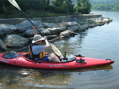
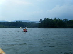
Summer’s almost over. Since this was one of my last free Fridays, Alan and I decided to do a bit of paddling. This time we decided to head up to North Carolina and do some paddling on Lake Adger, which is just north of Columbus. It turned out to be a great trip, and an excellent paddling venue.
Lake Adger is fed by the Green River. I’ve run the whitewater sections upstream from the lake many, many times, but had never really visited the lake. I read another trip report about the lake, and it convinced me that this might be a good option for a flatwater paddle. The lake has limits on boat motor size, and there are no jet skis or other fast boats on the lake. Sounded good.
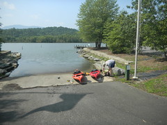
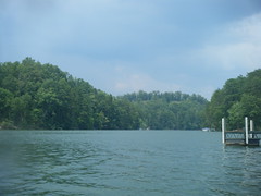
The Lake Adger Marina is the only public access I could find for the 500 acre lake. Google Maps put it about 45 miles from my house as the crow flies, but driving time was about an hour and a half. There’s no easy way to get there from here, and the route takes you through mostly two-lane roads through Greer, Tryon, and Columbus. We did eventually get there right at about 11:00 and found a nicely maintained marina with loads of parking and a boat ramp. We were the only ones there this morning.
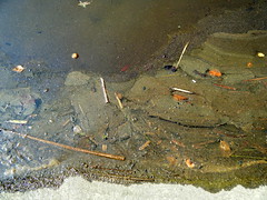
When we got underway I was a bit worried. I was hoping the crud collected right at the ramp wasn’t an indication of overall water quality. It turns out that I shouldn’t have worried at all.
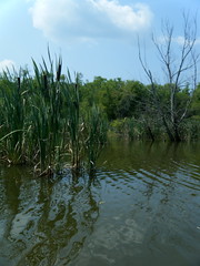
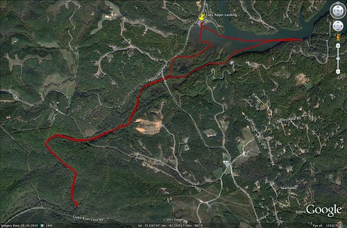
The ramp is at the upper end of the lake, so from the ramp we had two choices. We could either head west and paddle upstream on the Green river, or we could paddle out onto the open lake. We opted for upstream. However, finding where the river enters the lake turned out to be a challenge. We hit at least one dead end and had to make our way through some cat tails.
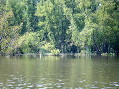
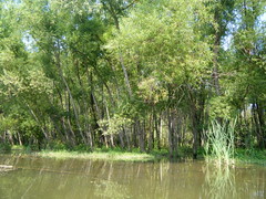
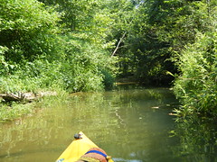
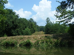
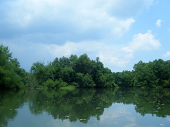
From looking at Google Earth I knew that the Green entered the lake through a series of braided channels. Looking at one small passageway I figured I’d found one of those chanels and that it would eventually lead me to the main river. The questions was whether or not the route would be clear. It was. As we paddled through the narrow channel a deer ran alongside us on the little island, which was lined with willow trees.
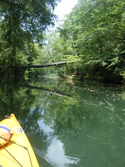
The channel was nicely shaded, and surprisingly deep. It was more like paddling on a small creek than a lake or river.
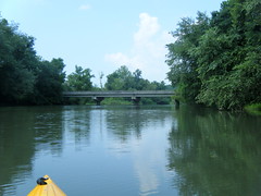
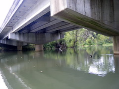
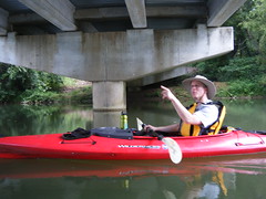
Eventually, though, we reached the main part of the river just below where Lake Adger Road crosses the river on a fairly low bridge.
We decided to continue on upstream. My goal was to see if we could reach the Big Rock river access, where we normally take out on the Green when we’re doing the lower whitewater section. I hadn’t checked the maps to see if that was even doable, but we were going to see how far we could get.
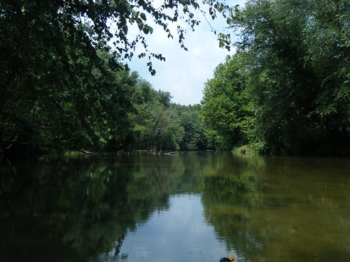
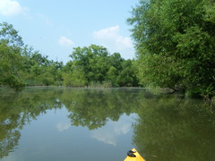
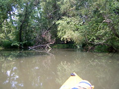
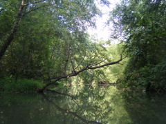
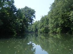
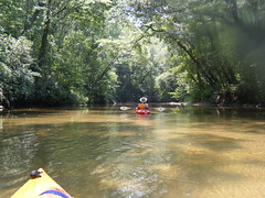
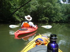
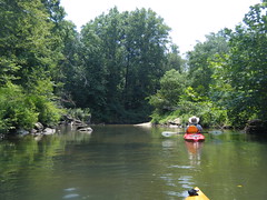
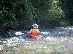
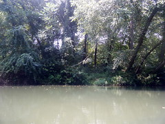
The river very quickly lived up to its name, with the overhanging trees and brilliant green water.
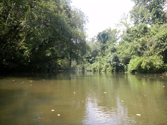
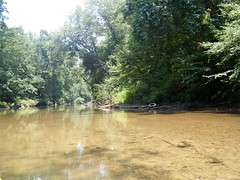
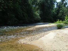
However, the water itself was amazingly clear. The deeper areas were a deep green reflection of the trees, but the shallower areas were tan like the sand on the bottom of the river.
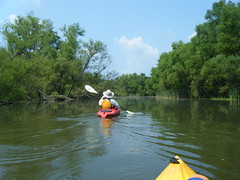
There wasn’t much current at this point, so paddling upstream in these boats wasn’t a problem. The water depth was pretty good for the length of our trip, too. Since it was so clear it tended to be deceptive. The water was deeper than it appeared.
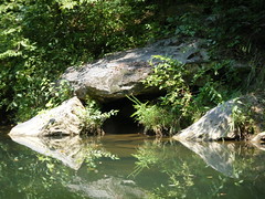
There were a couple of side channels and interesting rock formations along the way. We spotted one tiny waterfall on from a tributary brook. There was only one place at a clearing where there was any hint of development. All in all, it was nice, peaceful paddle up the river.
As we paddled upstream the river got shallower, but it was still navigable. We also started to see more signs of habitation, specifically old tires in the rivers and the remnants of inner tubes and other detritus from the float parties upstream.
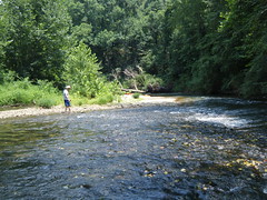
Eventually we came to a bend in the river at a small rapid. It was insignificant, as far as rapids go, but it was enough to impede our upstream progress. We very easily could have dragged the boats around and continued on upstream, but we decided that this was a good stopping place. It also made for a nice lunch stop, too.
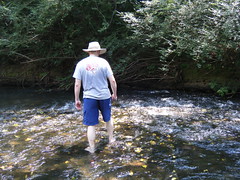
The water was wonderfully cool compared to the stifling air, and the little rapids felt great as we waded out. Suitable refreshed, we decided to head back to see what the open lake held.
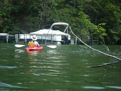
The current hadn’t seemed like much as we were paddling upstream, but we were greatful for its assistance going downstream. At some points we just floated along. I occasionally dipped my hat into the cold water to cool off. It wasn’t long before we reached the bridge and the original channel we had paddled through. We decided to stick with the main channel this time. Even that split into multiple routes around small islands. We heard another deer (or possibly the same one we had seen earlier) crashing through the brush on one of the islands.
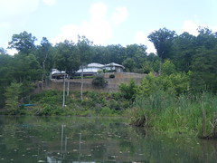
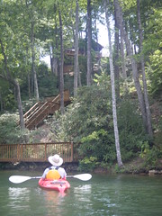
Just past the islands, and looming above us was a house with an impressive brick wall. It was a nice place, but I felt like I was looking at a Bond villain’s lair. Most of the houses along the stretch that we paddled were more discreet.
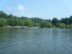
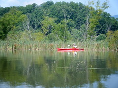
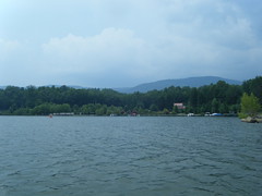
Also past the islands we had a clear view across to the marina. A couple of canoes were making their way back to the marina.
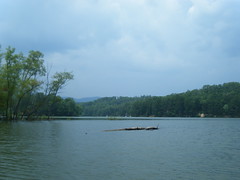
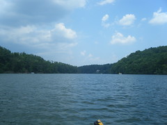
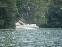
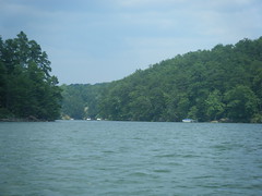
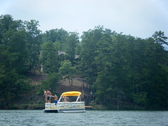
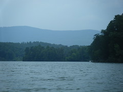
The lake itself is fairly narrow. We paddled on out a ways. A family on a pontoon boat was enjoying the cool water, too.
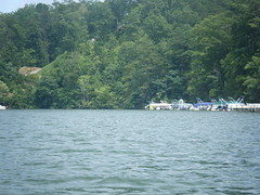
Alan and I paddled up to the first little cove where there were several pontoons moored at a marina. At this point the thunder we had been hearing since lunch started in earnest, and we figured we had paddled enough, so we turned back.
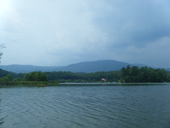
The pontoon family thought the same thing, and they headed back, as well. Good thing. As we were approaching the landing we could see jagged lightening above the mountains. It was time to be off of the water. We got the boats loaded up safely, and didn’t really get any of the storm.
If it hadn’t been for the looming storm I think we would have explored more of the lake. I don’t know if traffic would have picked up on a Saturday or Sunday, but with the motor limits I’m sure it wouldn’t be as bad as one of the larger lakes.
As it was, we paddled about 7.3 miles, which a decent amount for any day’s paddle. I would love to come back up this way, and may try to do that this fall when the leaves are changing.
Here’s the GPS track from our trip…
Here are all the photos from the trip that I took…
Alan also took some great photos, including one of a heron that I missed. Here are his shots…


GREAT sounding trip. I wonder, too, how that river is downstream from the dam. I looked on Google Earth, and it just keeps going and going. Who knows, though, if there are shallows or dead falls to deal with. Sounds great out on the lake too.
Good report, looks like the water was high at the bridge – see you on the water – bacshortly.com