Well, ain’t this place a geographical oddity. Two weeks from everywhere!
– Ulysses Everett McGill, O Brother, Where Art Thou
I felt a lot like Everett McGill, at least as far as geographical confusion was concerned. No, I hadn’t escaped from a chain gang, nor had I been robbed by a Bible salesman. Earlier in the day I’d had a nice visit to Chester, had a great lunch, and had found some ghost towns along Highway 321. Now I was in the community of White Oak, and saw that I was twelve miles from Great Falls. As it turned out, Great Falls was also a geographical oddity – twelve miles from everywhere.
Twelve miles…seems like a reasonable distance. You can get there in a matter of minutes, so it’s easy to convince yourself, “Oh, that’s not far! I can just scoot over there!” It’s just far enough away to be inconvenient, but close enough to be tempting. The problem comes as the day gets later and the dozen miles multiply, taking you further away from home.
Mount Olivet Presbyterian
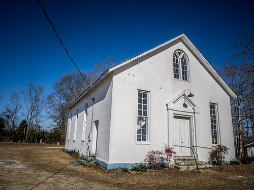
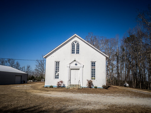
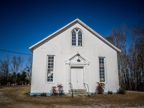
I was driving on Mobley Highway, roughly headed toward the town of Great Falls. The road crested a high ridge with views north and south. At the top of the ridge I spotted a white church in the meeting house style. I pulled into the yard of Mount Olivet Presbyterian.
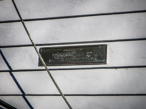
The congregation started in 1772 about a quarter of a mile away as Wolf Pit Church. Later it became known as Wateree, then Wateree Creek Church. Finally, when the church moved to the present location, it became known as Mount Olivet. The current building was built in 1869, and is on the National Register of Historic Places.
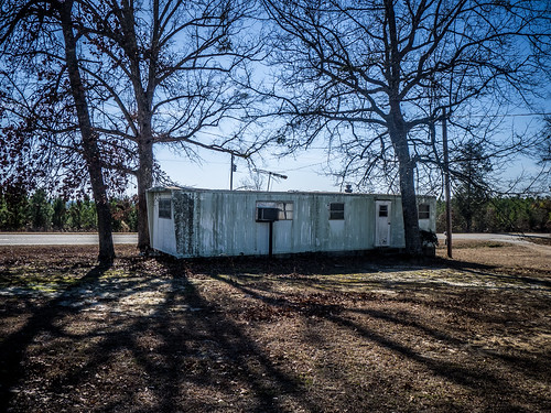
I almost didn’t pull in, though. There were a couple of things to make me wonder about the status of the church. First, there was the abandoned trailer home parked out front.
At least, I was hoping that it was abandoned. There were no cars around. There was a more modern building right next to the church that looked like it could be a fellowship hall or something like that. Despite the abandoned trailer and lack of activity, it looked like the church could still hold services.
Through the front window I saw a staircase. I would normally assume that it’s a staircase up to a slave balcony, but since this was built in 1869, post-Civil War, I’m not sure what purpose the balcony served.
The church is plaster of brick.
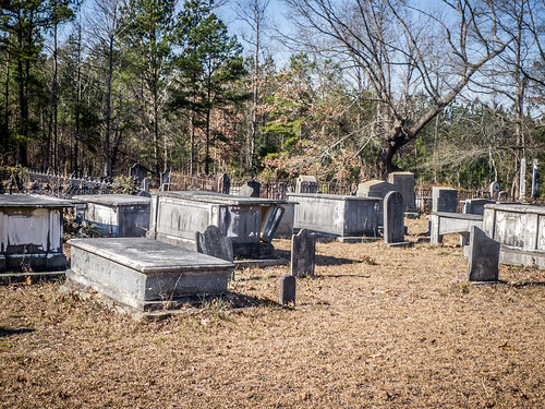
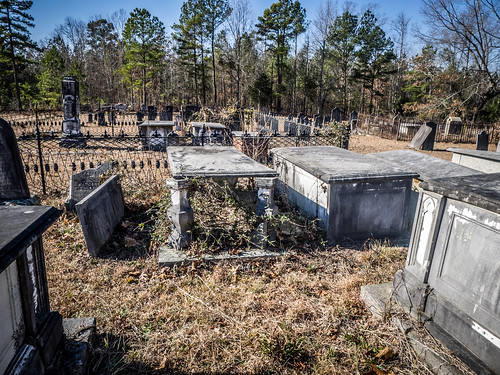
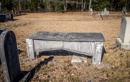
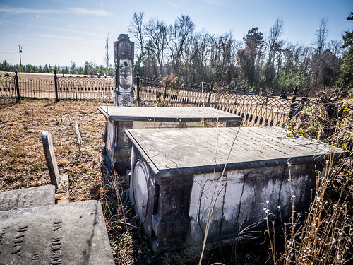
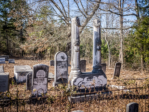
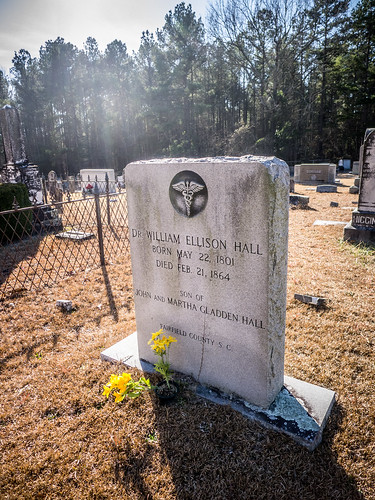
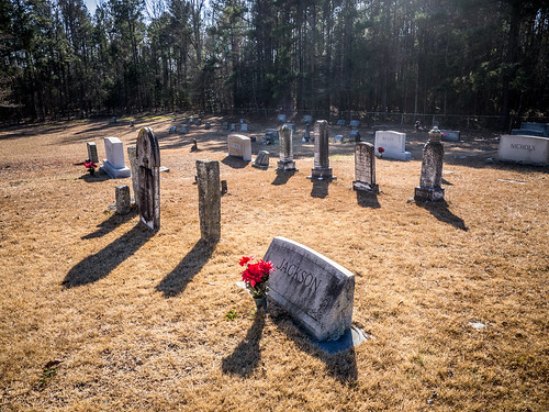
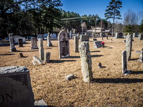
I wandered on around to the back and walked into the historic cemetery. Some parts of the cemetery seemed like they were well maintained, and some of the family plots appeared overgrown. I did find several signature stones.
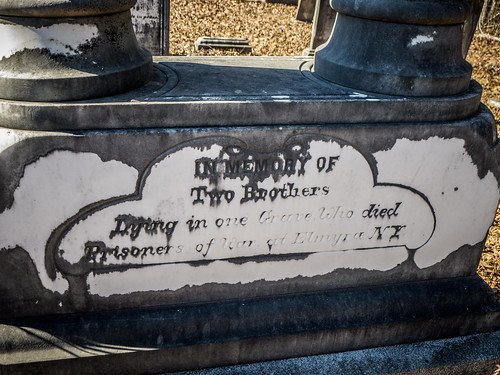
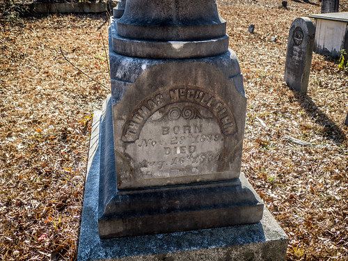
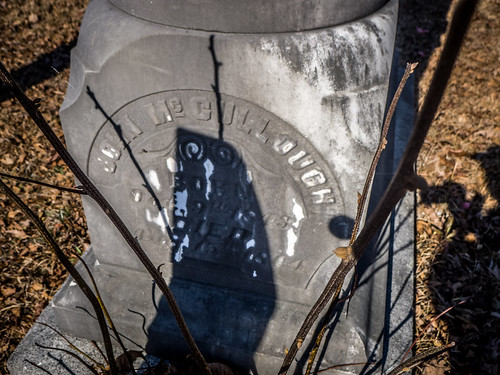
One of the most unusual headstones was a double-column erected to honor the McCullough Brothers. These died as prisoners of war during th eCivil War.
Mitford School
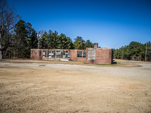
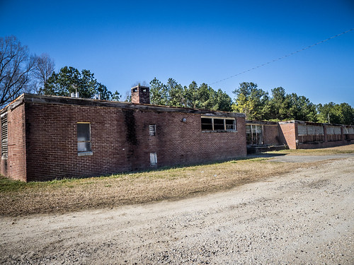
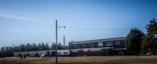
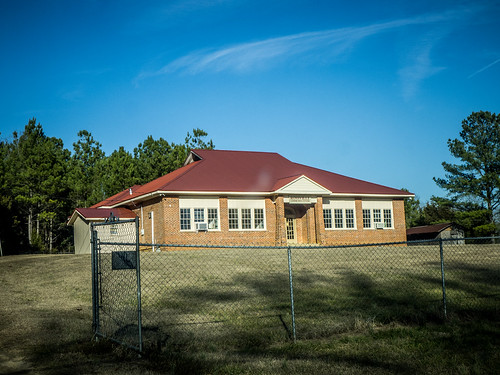
The day was getting away from me. If I wanted to make it to Great Falls, I had to keep moving. Mobley Highway ended, and I turned east on State Highway 200. The route took me across I-77, and soon my GPS was once again binging at me. I was at Mitford School. This was yet another small Equalization school that served the Mitford community, further down the road a piece. The school appeared to be unused and pretty much abandoned now.
As I thought about these old schools I realized why so many are unused now. These things were loaded with asbestos and all manner of hazardous materials. Anyone that got this property would have to do lots of remediation, even if they planned to tear it down.
Bethesda Methodist
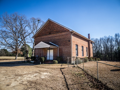
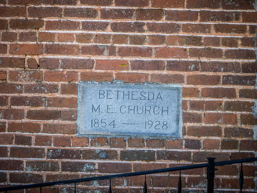
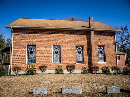
On the other side of Mitford I spotted another old church on the south side of the highway. Bethesda Methodist Church isn’t on the National Register, but it looked like a cool old church. There were some very nice stained glass windows, and a plaque note that the church existed from 1854 until 1928 as Bethesda Methodist Episcopal Church. Unfortunately, a modern awning ruined the front of the church, and looked completely out of place. I stopped for a couple of photos of the church and the cemetery.
There were a few late Nineteenth Century headstones. One of the family plots was surrounded by pieces of granite that could be mistaken for headstones. These were just the corner posts for a now long-gone fence around the plot.
I didn’t stay too long. I still had places to go.
Great Falls
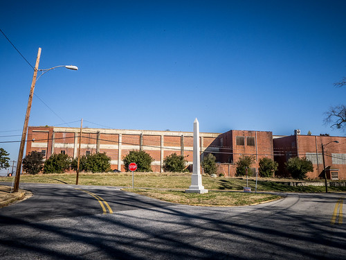
So, that twelve miles to Great Falls took a bit longer than I had expected. Even on the outskirts my GPS started binging. The former Great Falls Middle School was another old Equalization school. I’m guessing that it was once a high school. I took a couple of shots across the busy road.
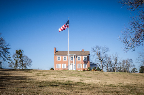
I drove on into the town, past the wide spaces of the Memorial House grounds, and past the old textile mill.
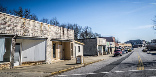
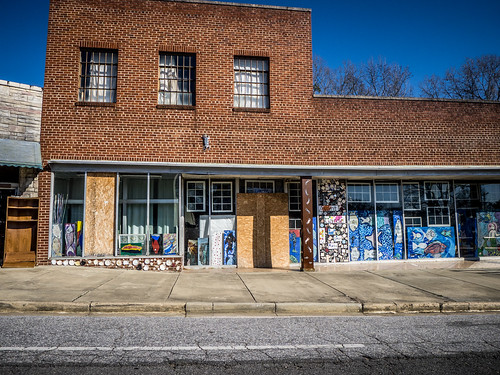
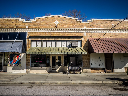
The downtown area was very cool. There was a row of stores that looked like it undergoing some revitalization with artist shops, etc.
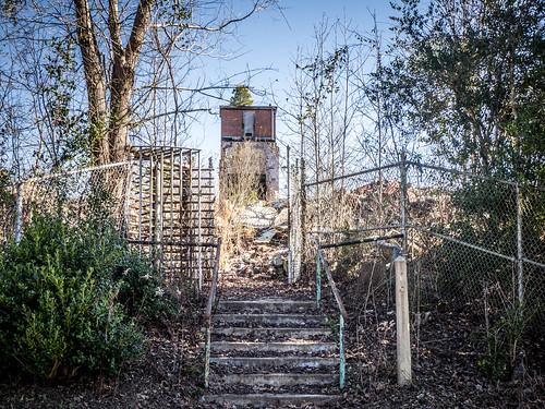
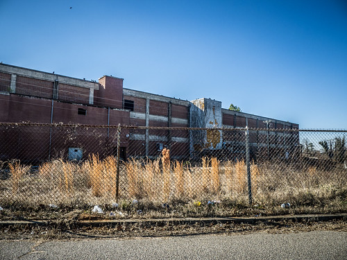
On the other side of town was another mill that had suffered the same fate as so many others – all was missing except for a brick column that supported the stairway.
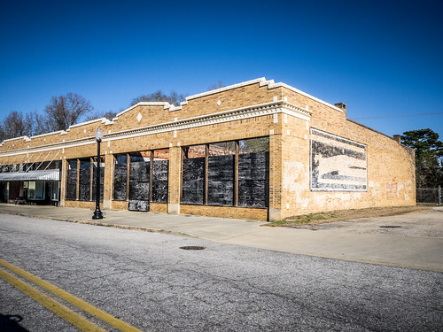
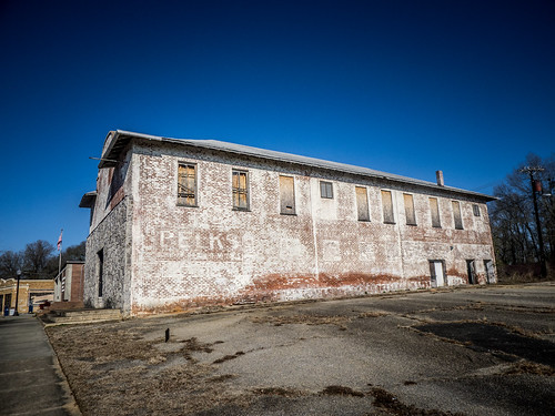
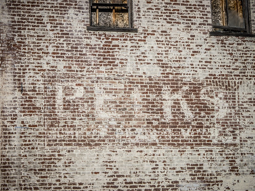
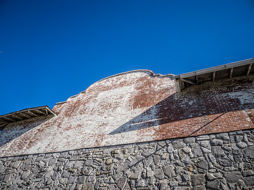
I parked the car and decided to explore on foot a bit. Next to the mill, and at the end of the commercial district was the old company store. At one time this had been a Belk store, and the phantom sign remained.
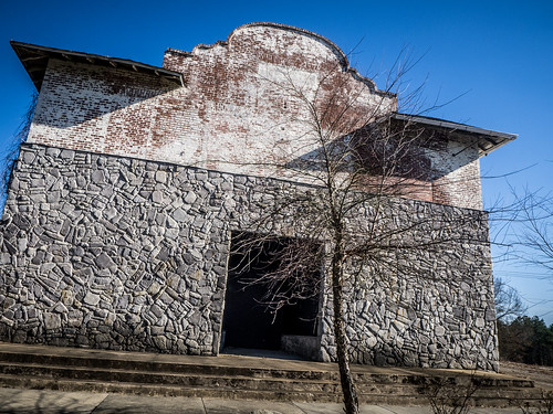
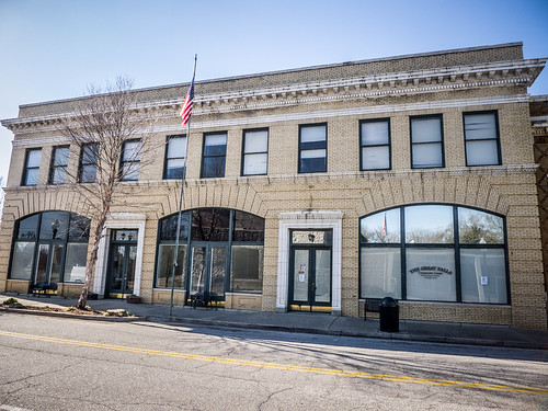
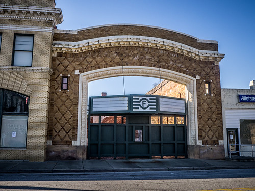
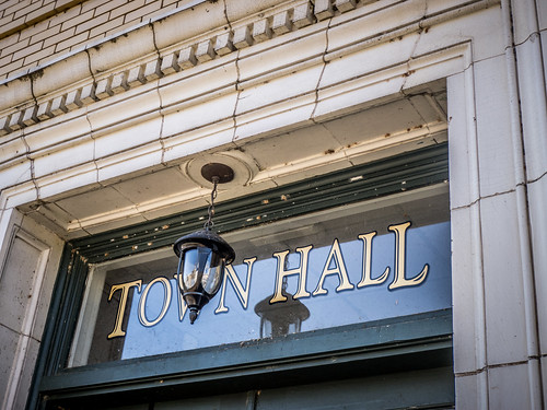
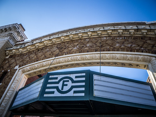
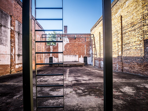
Across the road was the town hall, and next to that was the shell of an old theater. The shell now served as an open-air venue, and there was a stage in the back. This entire area is part of the Great Falls Historic District.
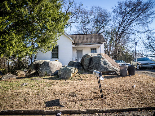
We were sitting right on the banks of a major South Carolina. However, it didn’t look like the town was taking advantage of its prime riverfront property. I wanted to get down to the water I headed back through the town and turned behind the extant mill into the old mill village. A couple of the houses had huge boulders in yard.
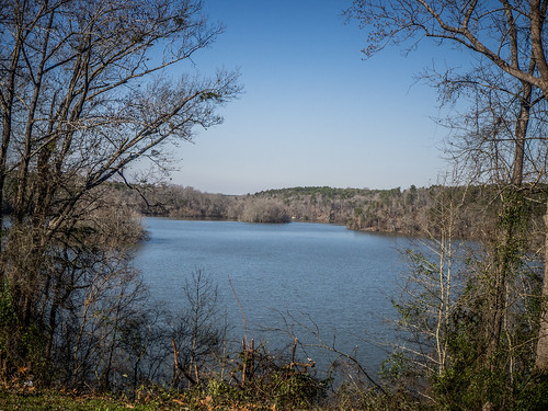
Eventually I did find my way down to water…sort of. There was a church parking lot with a view northward across the Catawba.
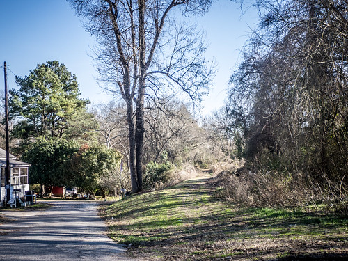
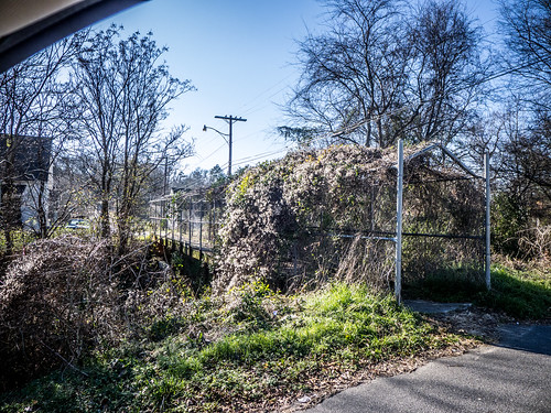
I made my way back through the neighborhood. Apparently a railroad had run through here, and a pedestrian bridge let over the ditch that had once contained the railroad.
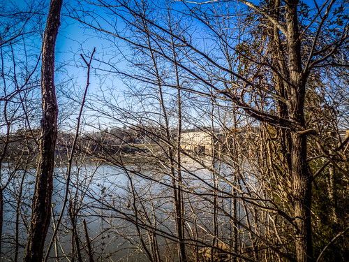
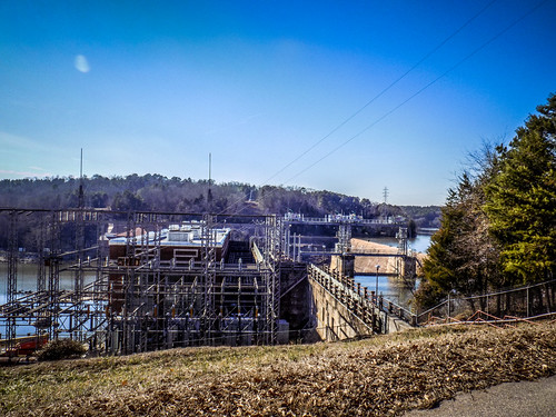
Having once seen water, my thirst was just exacerbated. I had to see more. I headed own north to Nitrolee and took Highway 200 across the river. The Fishing Creek Dam was north of the bridge and on the other side was what looked it could have been an access point. Unfortunately, it was blocked off. I was able to sneak a shot of the dam through the trees.
There was a T intersection right here and another sign. Lancaster was twelve miles to the northeast and Liberty Hill was twelve miles to the southeast. Liberty Hill sounded more interesting, so I headed down that way.
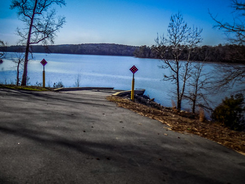
Along the way I saw a turn-off for the Cedar Creek access. The road led on down to the river. I saw another sign for Stumpy Pond access, so I pulled in that way. It looked like an excellent starting point for a paddling trip.
I thought the road I was on would lead to Cedar Creek, but I’d missed a turn somewhere. There was a fence and signs saying not to enter, and a dam just to my right.
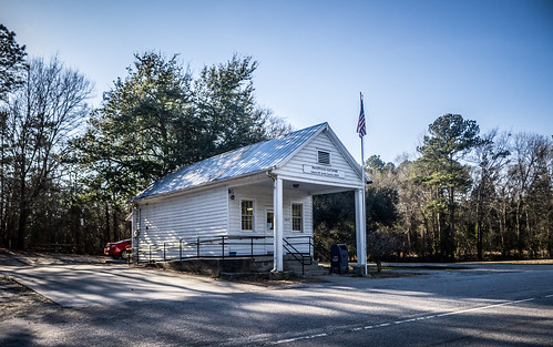
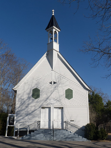
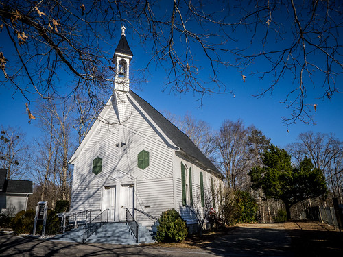
I made my way back to the road to Liberty Hill and headed southward. The miles passed, and soon I was in the little community. There was a small white-framed post office, another frame store, and set back off the road was Liberty Hill Presbyterian. Like Great Falls, this area is also on the National Register.
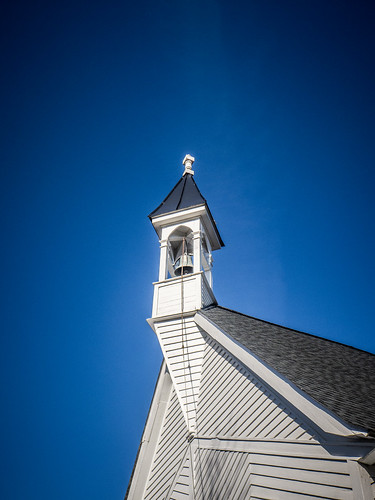
The church’s bell tower was quite unique. It protruded from the main part of the building, and a chain and rope ran from the bell and was tied to the front of the building. Anyone could have walked up and rung the bell.
By this time it really was getting late. Quite frankly, I was about cemeteried-out, and didn’t spend any time at the one at Liberty Hill. I headed back to the highway where a sign pointed toward the town of Kershaw…you guessed it – twelve miles away. Unfortunately, that was totally the wrong direction, and I needed to get home. I retraced my steps back to Great Falls, then headed across country toward Chester.
Along the way I took two more photos. First up, there was the old Rossville School, now a community center.
Then there was the oddly-named Catholic Presbyterian Church. This brick church was built in 1842 and is on the National Register. I really wanted to spend more time here and explore the cemetery, but I was going to be late as it was. I kept going and eventually made it home.
I had seen quite a lot, but I had missed much, much more. There were more historic churches, the ruins of Fort Dearborn, and the remains of the ghost town of Rocky Mount. Plus, the [former] Great Falls of the Catawba seemed like an interesting geological feature. I saw no signs of those. I felt like I had short-changed the area.
…and that’s the problem. Great Falls and the areas around the Catawba have so much history and points of interest that they need to be a destination, and not just a twelve-mile diversion. I will definitely be back, next time WITH my kayak.
Here’s a map of the locations mentioned above.

A railroad did run through Great Falls. The Great Falls Depot still stands and is located off of Republic St. near the river. Here’s the location:
http://www.openstreetmap.org/?mlat=34.56217&mlon=-80.89318#map=18/34.56217/-80.89318
I wish that I had continued on down Republic Street. I stopped to explore the town, then headed north. That’s another reason I want to head back. As for the railroad, according to Abandoned Rails it was a spur of the Seaboard line. http://www.abandonedrails.com/Spence_to_Great_Falls . That makes sense. The two streets connected by the pedestrian walkway, are named Seaboard. The Abandoned Rails site shows the route going right where I had taken the photographs.
Excellent information. I once kayaked from Charlotte to Charleston along the Catawba river. I ported at Fishing Creek dam near 200, and then at the Baptist Church in Great Falls, where a friendly neighbor shuttled me to a small trailer with a trail to the river below the dam. I then paddled down to the Duke power dam and ported up to the road, across the bridge and left onto the the next road which allowed me access to the river. From there I paddled to the next dam where I ported up a cleared power line incline to Catawba road and then back down to a small parking lot below the dam. That was the final port until I reach the end of Lake Wateree. While the ports were not particularly thru friendly, thanks to some locals it was made much easier. The trip was very hard yet very rewarding. Next time I’ll make sure to carry wheels for the kayak for some of the more difficult ports.