Wednesday, August 4, 2010
We had kind of overdone it the day before. We were exhausted, and on top of that we hadn’t gotten much sleep because it was hot and most of these BC hotels have no AC. So, it was a late start to the day with a leisurely breakfast in the hotel restaurant.
We figured we had until 4:00 before we had to line up for the return ferry to Anacortes. That gave us several hours to explore. Eventually, we decided to head up along the coast to see if we could get to where we could see the Pacific Ocean, and not just the Puget Sound. Our target was Port Renfrew, which was barely where one might see the ocean, and about at the limit of our range for the day.
We headed northwest(ish), outside of Victoria, and toward the town of Sooke. From Sooke we took Highway 14 toware the coast.
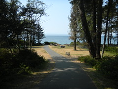
Our first stop was French Beach, a BC Provencial Park along the coast. The sun was shining, but it was still very cool and foggy off of the coast. The ranger said that a couple of pods of whales lived nearby, so we grabbed binoculars and sat for a bit.
We figured we needed to get back on the road if we were going to get to where we could see the ocean. What we didn’t anticipate was how remote and wild the area was. We traveled mile after mile of managed forest lands. At one point we decided to go ahead and set the GPS for the Sydney Ferry Terminal and keep an eye on the ETA. When it got close to and ETA of 3:30, we would head back. That should allow for traffic or any other problems.
Of course, our GPS didn’t like this plan of action, and kept trying to correct us as we headed further up the coast. The road kept twisting, and there were no amenities to be found. Things weren’t looking good for Port Renfrew. Having all the signs in metric didn’t help our estimates.
Finally we got to a point where the GPS told us to turn down a dirt road so we could turn around. It was getting on in the afternoon and we’d had no lunch, as we decided to take its advice. The dirt road, however, was steep, single land, and treacherous. We followed it about a mile and a half to a parking area for Sombrio Beach and the trailhead for the Juan de Fuoco Marine Trail.
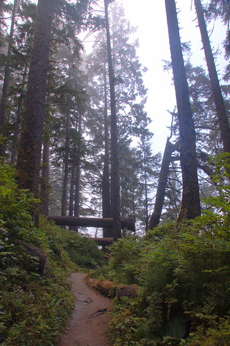
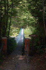
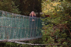
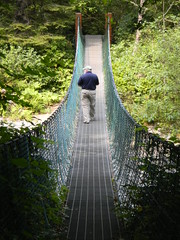
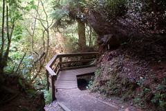
There were signs warning of bears and cougars, but we decided to hike just a little bit, if for no other reason than to stretch our legs. We took a path leading to a suspension bridge over the Sombrio River, with views toward the beach. Of course, these were socked in. Laura didn’t venture out onto the bridge, but let me cross by myself.
We headed back up the trail. Since Laura wasn’t wearing suitable hiking shoes, she continued back to the car, while I took a side route to the beach.
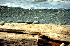
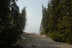
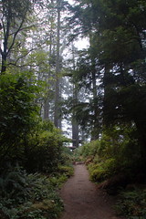
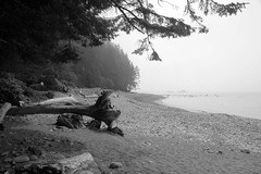
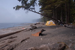
I walked through huge sentinel trees, and eventually emerged onto a beach. Several people were camping. The place was other-worldly. The fog was still thick, so it was hard to get a sense of the place. I really wanted to stay and explore, but I knew Laura was waiting back at the car.
Back at the car we headed back along the dirt road, and were happy when we safely hit pavement. We were surprised at the number of vehicles that made the trek out this far – the place was hopping.
The drive back to the terminal was tedious. There was a brief stop at a McDonalds in Sooke because we had never found lunch. At one point we made a wrong turn and got stuck in incredible traffic. However, we made it to the ferry in time, and soon enough we boarded.
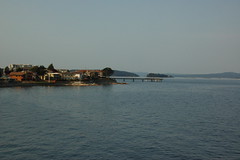
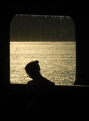
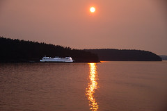
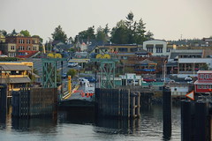
The ferry ride back was much clearer. I stayed out on the deck almost the entire time, taking photos of the islands and the setting sun. On this trip, we also stopped by Friday Harbor to drop off some passengers before continuing on to Anacortes. We saw what we think were several spouts, but no whales showed themselves.
We got back to Anacortes at 8:30, hungry because now we hadn’t had dinner. We stopped at the Farmhouse Inn on the way back to Samish Island, then collapsed.
