Skip to content

Random Connections

A collection of photography and exploration focusing on Upstate South Carolina and beyond.

  • Home
  • About Us
  • Photos
  • Resources
  • Other Voices
  • Post Archives
  • Podcast
  • Home
  • Orangeburg County

Tag: Orangeburg County

The Rise of Santee on The Tobacco Trail

Posted on September 22, 2015September 26, 2015 By Tom 1 Comment on The Rise of Santee on The Tobacco Trail
Geocaching and Maps, History and Genealogy, Rambling

Tobaco Trail-3

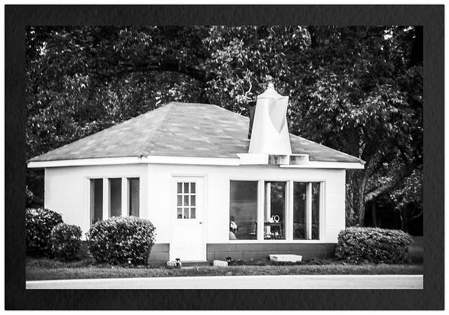
For some reason the town of Santee intrigues me. It’s something of an anomaly compared to the other cities on the Tobacco Trail. There is no main street or central business district. Those features make me think that the town as, say, Orangeburg, Allendale or Bamberg. I decided to find out more about it. In the process of that research I discovered a new ghost town.

Read More “The Rise of Santee on The Tobacco Trail” »

The Tobacco Trail through Orangeburg County, Part 2

Posted on September 20, 2015February 1, 2020 By Tom 14 Comments on The Tobacco Trail through Orangeburg County, Part 2
Geocaching and Maps, History and Genealogy, Photography, Rambling

Tobaco Trail-1

I was out exploring the Tobacco Trail through South Carolina. So far I had started at the SC-GA border on the Savannah River and had crossed Allendale, Bamberg, and a good portion of Orangeburg Counties. Orangeburg is a large county, and is bordered by Lake Marion on the east. I was ready to check out the rest of the county, and see how far I could go on this day’s exploration.

Read More “The Tobacco Trail through Orangeburg County, Part 2” »

The Tobacco Trail through Orangeburg County, Part One

Posted on September 18, 2015September 23, 2015 By Tom 3 Comments on The Tobacco Trail through Orangeburg County, Part One
Geocaching and Maps, History and Genealogy, Photography, Rambling

Coffee Cafe B&W

So far I had traveled across two South Carolina counties on The Tobacco Trail, aka US Highway 301. I still had a long way to go, though. I was able to get through about a third of Orangeburg when we had a death in the family. Yesterday I was able to go knock out another huge chunk of the highway.

Read More “The Tobacco Trail through Orangeburg County, Part One” »

Categories

  • EdTech (197)
  • Entertainment (201)
  • Family (123)
  • Gear (114)
  • General Technology (98)
  • Geocaching and Maps (208)
  • History and Genealogy (275)
  • Internet (142)
  • Local (458)
  • Miscellaneous (559)
  • Music (202)
  • Paddling (267)
  • Photography (781)
  • Podcast (19)
  • Rambling (233)
  • Rants (162)
  • Recipes (37)
  • Religion (48)
  • Restaurants (165)
  • Science (48)
  • Things Overheard (29)
  • Travel (413)
  • Uncategorized (143)
  • Washington Sabbatical (113)
  • Weirdness (60)

Recent Posts

  • Exploring Lake Summit
  • The End of Days
  • Double-Dipping on the Edisto
  • Jerk Chicken a la Farehouse
  • How’s the House, Part 3

Recent Comments

  • Kathleen on A Stonecutter’s Tale
  • Karl Plenge on Exploring Lake Summit
  • Virginia Pepper on Exploring Lake Summit
  • John Guerrant on Carolina Ghost Towns – Merrittsville
  • Laura A Davenport on Brandon Mill Cemetery Clean-up

Tags

blogging cemetery Christmas Columbia Edisto River edtech Entertainment family Flickr Florida Furman Furman University gear Georgia geotagging Ghost Town Ghost Towns Google Earth Google Maps GPS Greenville Greenville Chorale history Instructional Technology kayaking Lake Jocassee LCU Lowcountry Unfiltered maps Music North Carolina Paddling Photography rambling restaurant Restaurants review singing social networking South Carolina time-lapse Travel video Washington Washington State
September 2025
S M T W T F S
 123456
78910111213
14151617181920
21222324252627
282930  
« Aug    

Copyright © 2025 Random Connections.

Theme: Oceanly by ScriptsTown