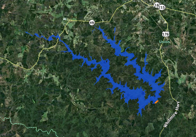
While kayaking on Parr Shoals Reservoir last Saturday, Alan and I started discussing lakes in general. Specifically we were talking about the placement of dams and the hydrology of water backing up to fill in the space. We laughed at one of the last scenes of “O Brother, Where Art Thou“, where the lake comes flooding in as a torrent, rather than rising gently as it should. As far as movies go, “Deliverance” was a more realistic view of how lakes are created.
As the conversation proceeded, I reminisced about the time I participated in the SC-MAPS project when I was a teacher. This was a three-day workshop where we learned how to use topographic maps and satellite imagery in the classroom. This was long before the days of Google Earth, so the ability to look at overhead images of where you live was still a novelty.
One of the activities they had us do was to draw a line across a river connecting contour lines at the same height. This line would represent a dam. Then we were to trace the contour line at that level all the way around, outlining the area that would be inundated by the new lake. It was a tedious process, but the results were fascinating. The lakes always turned out much larger than we expected.
As Alan and I talked, we wondered if there was some automated way to do this using Google Earth, so when I got home I started searching for a method. The automated systems I found were complex, requiring advanced knowledge of ArcGIS, hydrology, and GIS techniques in general. Even so, I think I’ve found a simple way in Google Earth. Here’s how…
