The Visit
I had seen a post on Facebook about someone visiting the Old Tranquil Methodist Cemetery. It looked intriguing, so I wanted to find it. Monday was a gorgeous spring day, so I headed out.
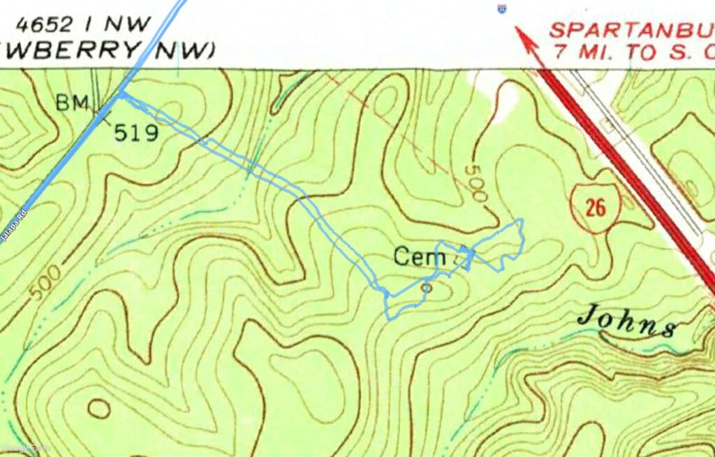
I had three targets for this outing. First was the Old Tranquil Methodist Cemetery, located on National Forest land off of Jalapa Road and near I-26. Though the church is now long gone, the New Tranquil Methodist Cemetery was behind a farm house right in Jalapa. Satellite showed a dirt road leading to it, but I wasn’t sure if it would be accessible. The last target was the Old Covenanter’s Cemetery, located off of Boyd Road just west of Jalapa.
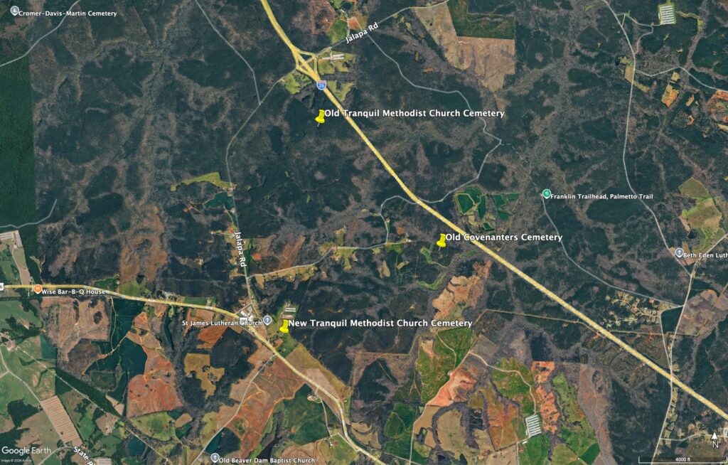
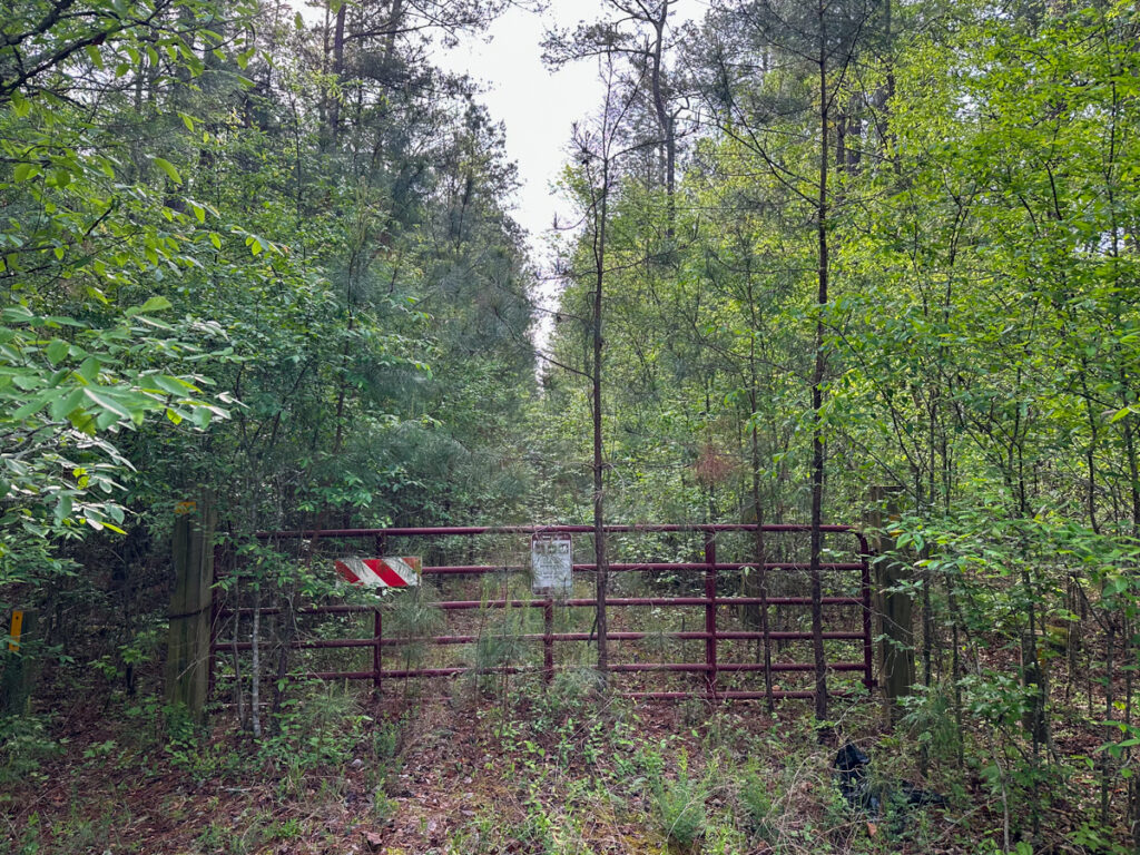
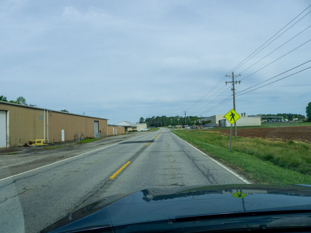
I headed down I-26 and took the Jalapa exit. First task was finding the access road for Old Tranquil. It wasn’t too far from the exit, but I had doubts. There was a gated road, but the road had sapling pines growing down the middle of it. There was a sign that said that foot traffic and horseback riding was allowed, but I couldn’t see how.
I decided to think about it while checking out some of my other spots. I headed on into Jalapa. The old building for the Jalapa Mercantile was there with a faded sign. Most of what’s left of Jalapa is now occupied by Metal Masters, Inc, on both sides of US 76. This is a huge metal fabrication operation.
The New Tranquil cemetery just as inaccessible. There was a road beside a farmhouse, but it looked private.
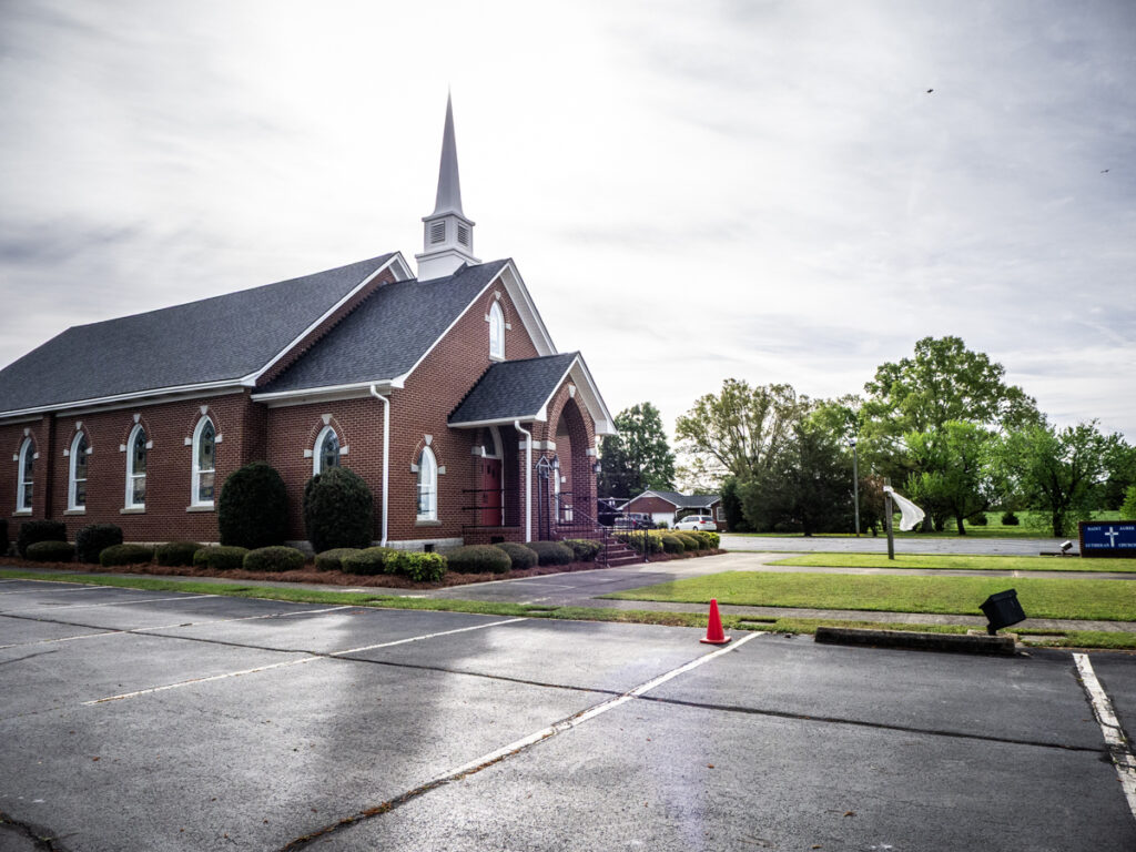
Next to this road is Saint James Lutheran Church. This is a more modern church and congregation. The cemetery had more modern headstones and I didn’t really stop to explore.
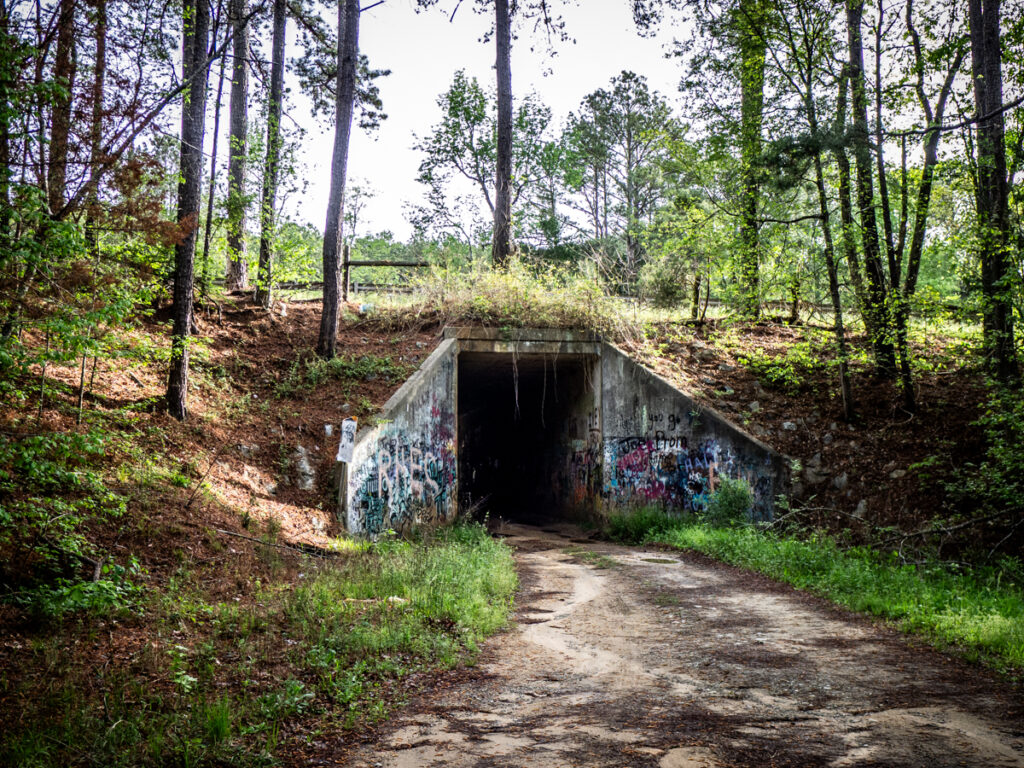
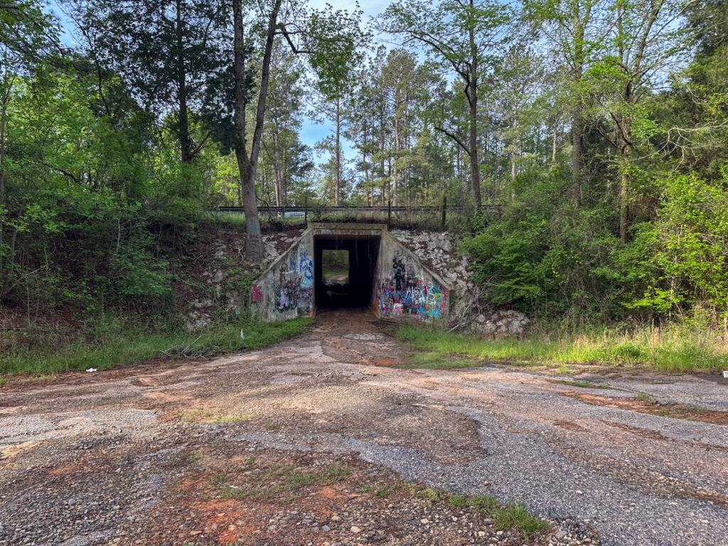
Next up was the Old Covenanter Cemetery. This was on Boyd Road, just past the Lutheran church. The road was narrow and full of potholes. I was still looking for an access road for the cemeteries when the pavement gave out. I kept going. Eventually I reached I-26. The road passes under the Interstate through a single-lane, concrete box culvert. I drove through, then turned around and drove back.
I headed back and found a driveway that led down in the direction of the cemetery. I wasn’t too sure about it, since there was a mailbox at the entrance. I drove down it a for a bit until I realized I was going to wind up in some guy’s yard. I decided not to risk a confrontation and backed out.
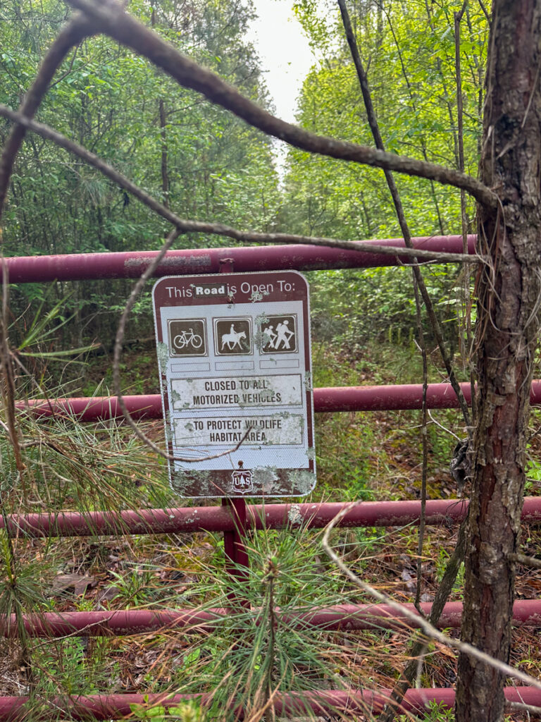
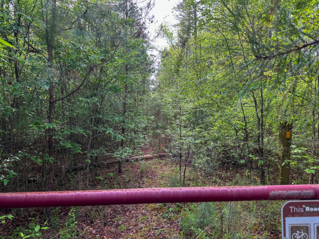
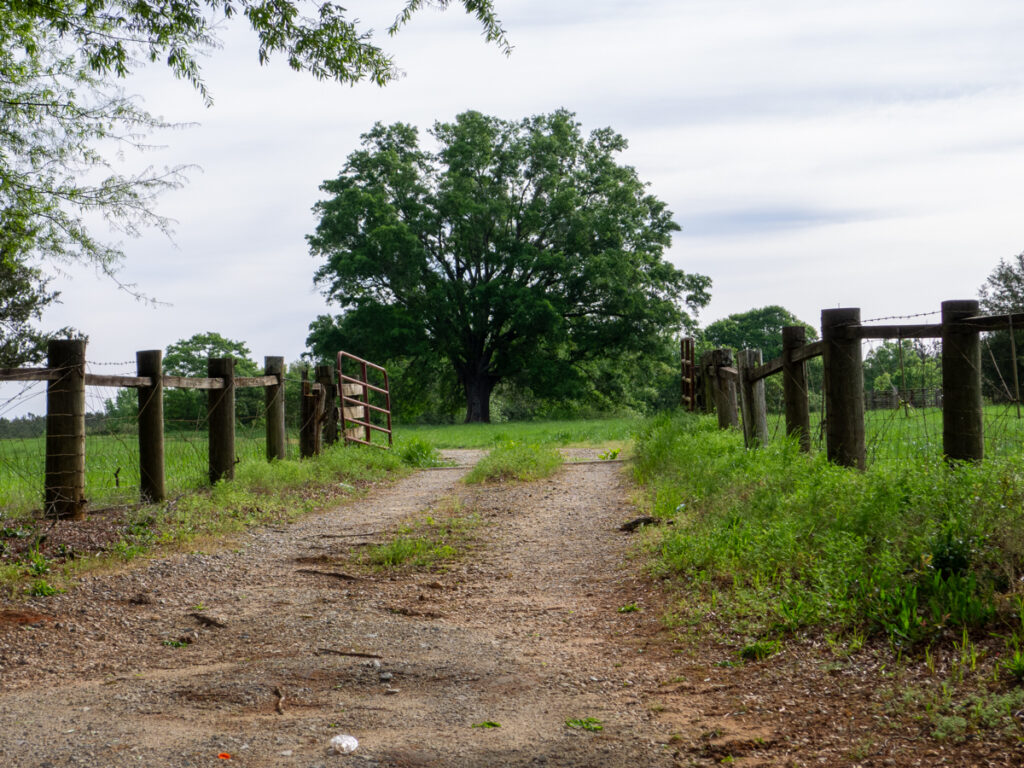
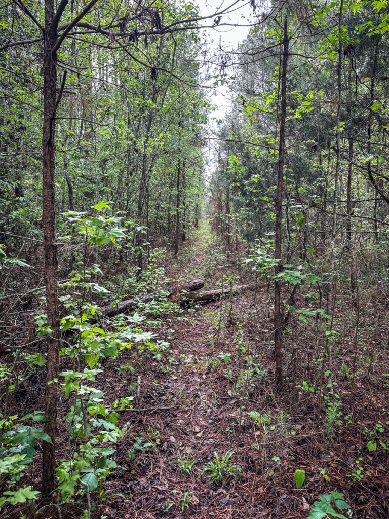
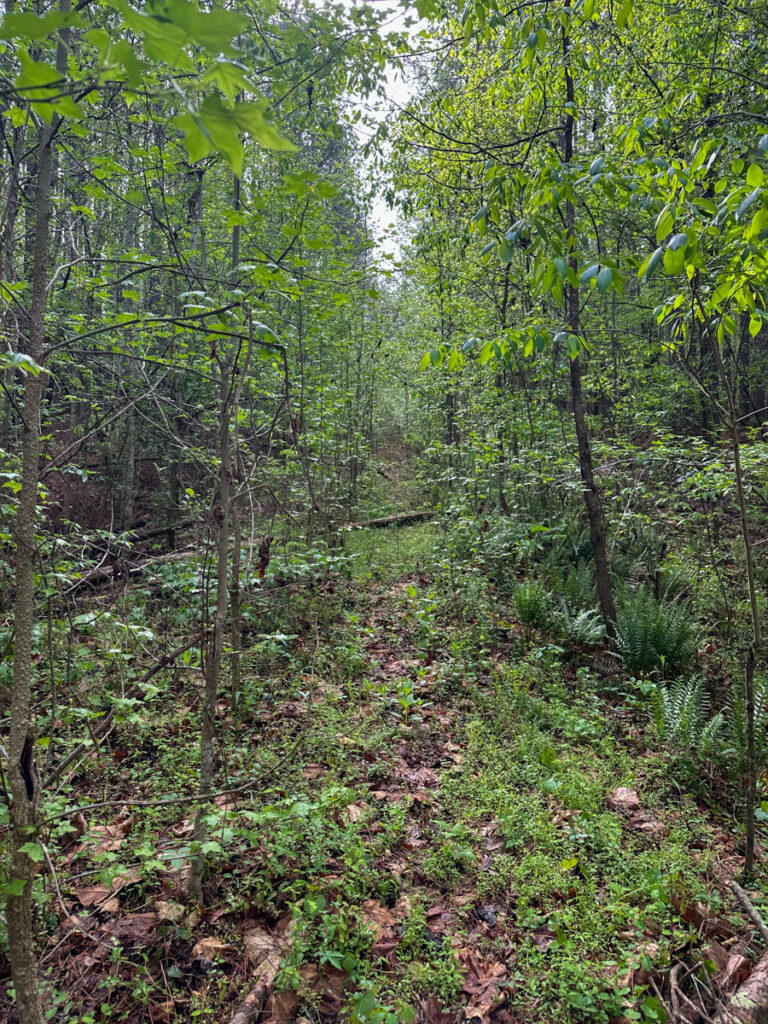
Having struck out twice, I decided to head back to Old Tranquil. I parked at the gate and walked around the gate. It turns out there WAS a clear path down the road.
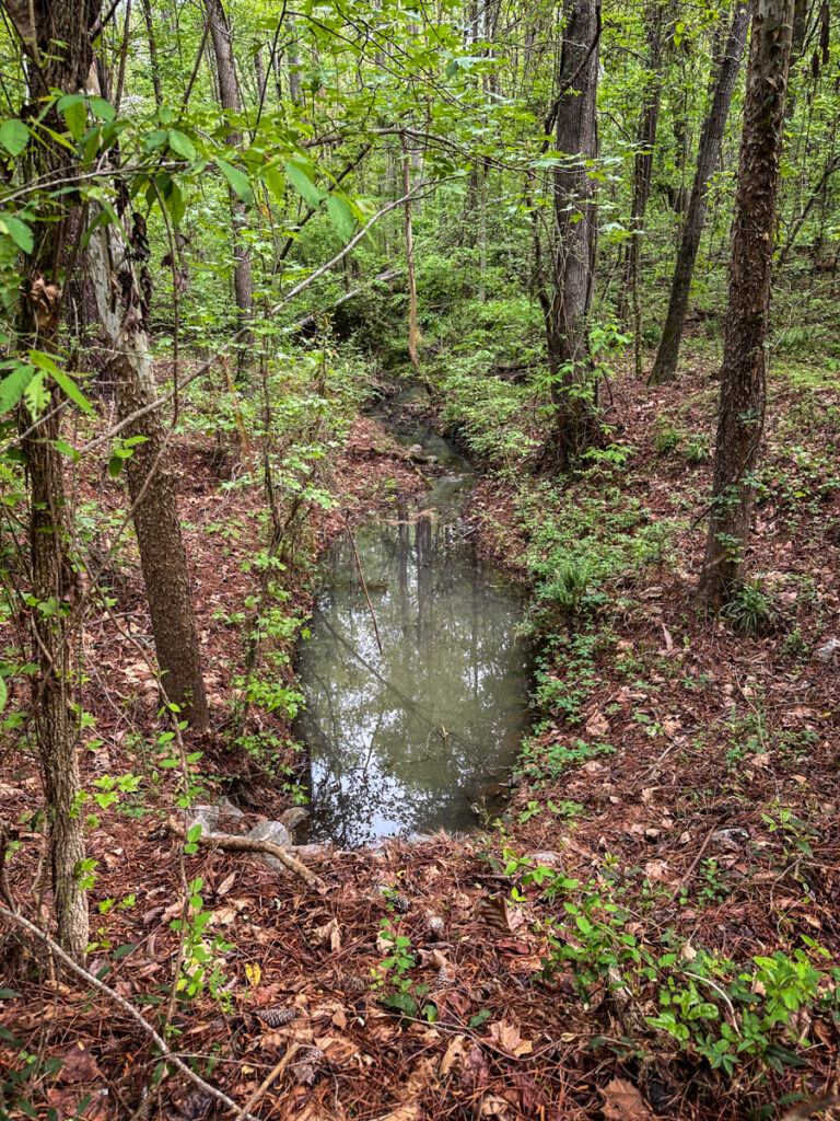
The trail descended to a small creek. There was a culvert bridge that looked like it was in good shape.
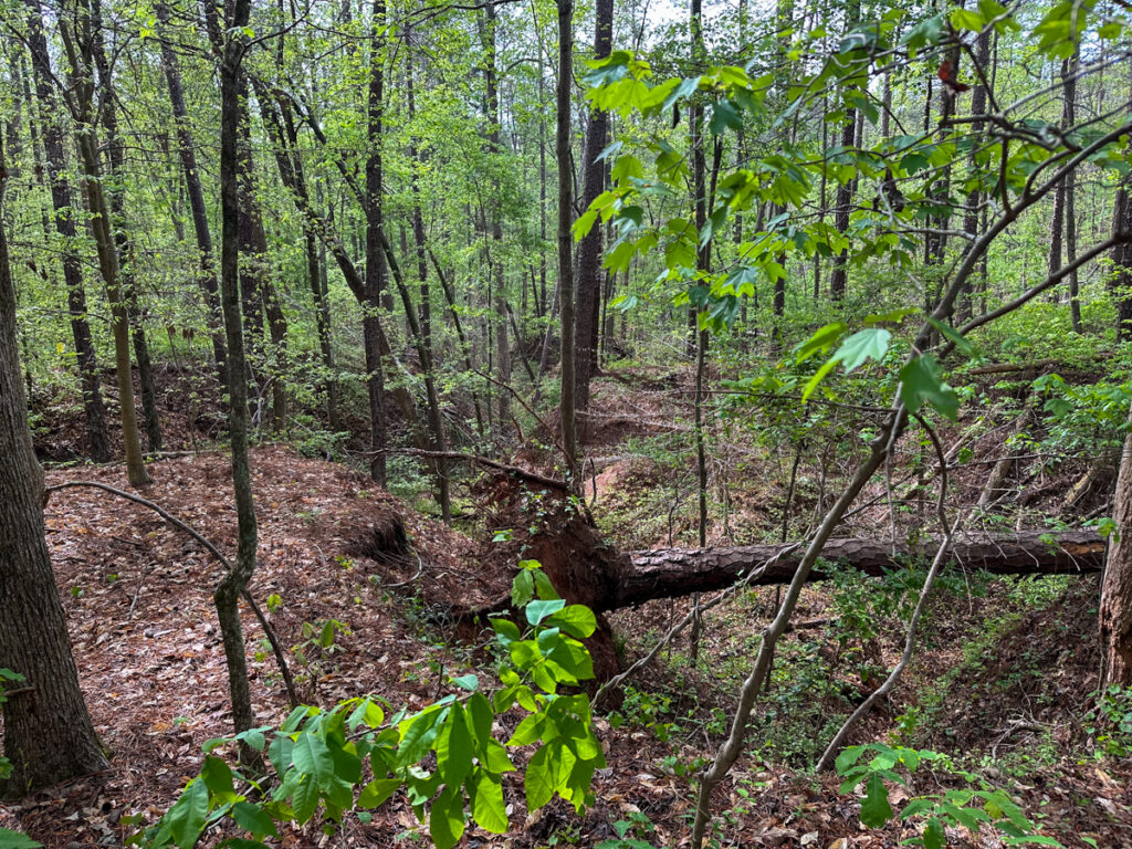
The forest was lush with new spring growth. There were tall pines on either side of the road, and smaller ones growing in the middle of it. There were pieces of granite in the middle, indicating that it might have been paved or at least maintained at one point.
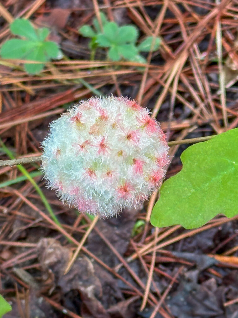
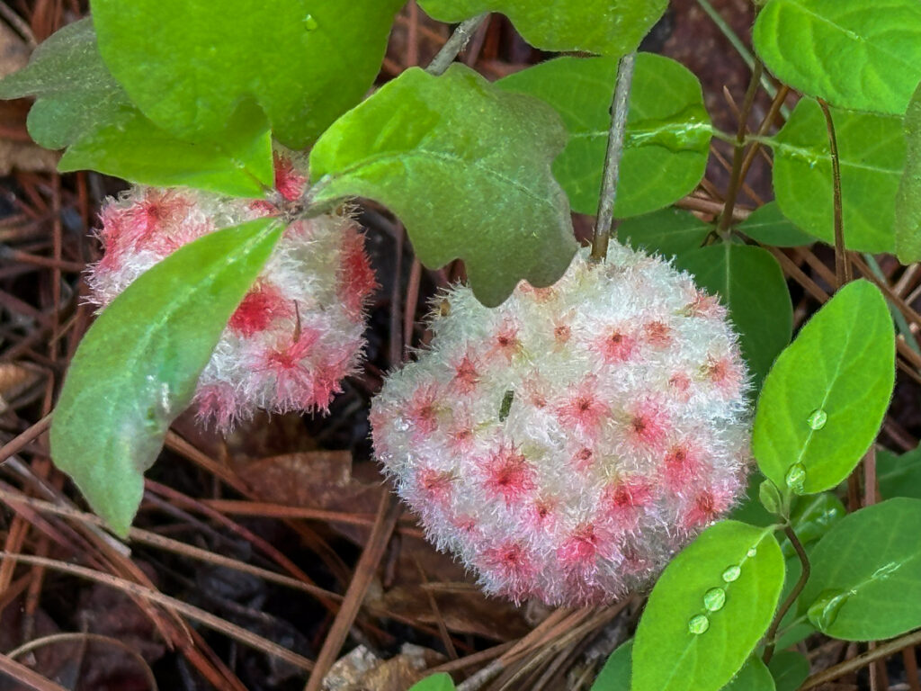
I found what I thought were interesting flowers. Turns out these are wool sower galls. They are found on oak trees and are home to a species of wasp larvae.
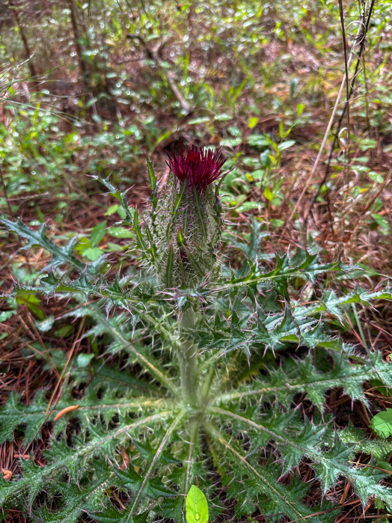
There was also a healthy stand of thistle.
It was really quite peaceful and I enjoyed the walk. I heard a pileated woodpecker above and several other birds nearby. Sadly, the constant noise of I-26 intruded into the forest.
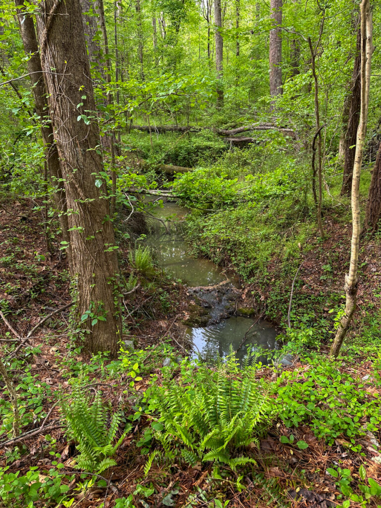
I continued until I came to an area where the tall pine trees cleared a bit. However, the open space was now full of nearly impenetrable saplings. My GPS indicated that the cemetery was off to the north, so I left the road and started bushwhacking. I came to the stream I’d seen on the map. It was in a deep gully and there were side gullies, making it difficult to follow the course of the stream. This was a problem, because it looked like the cemetery was just a bit farther on this side of the stream.
According to the GPS I was getting close. I came to a clearing where I thought the cemetery might be, but I couldn’t see any headstones.
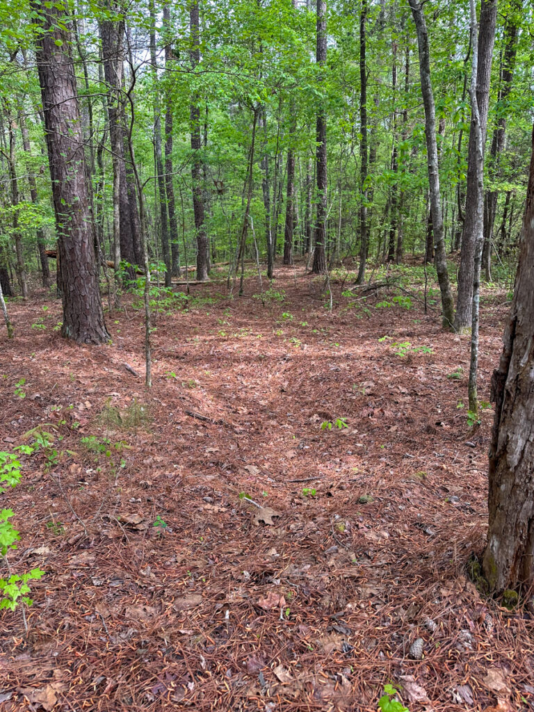
I started to wander around, looking for any sign of the cemetery. I was fooled several times. A fallen tree can look an awful lot like an elevated tomb. I came to several clearings, with no joy.
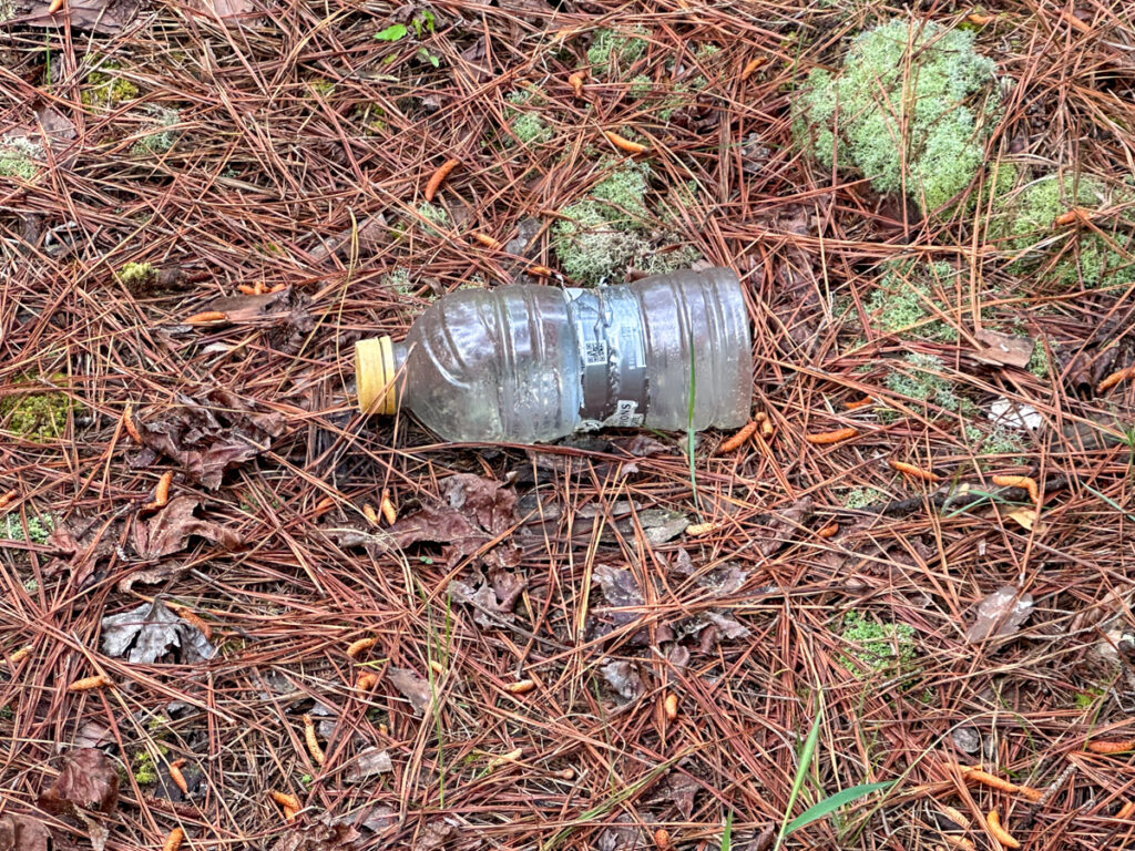
I wandered deeper and deeper into the forest, as if being pulled in by a siren song. I wasn’t too worried. I was armed after a fashion. I had picked up the machete I keep in my car, and I had my Garmin InReach in case things really went south. No matter how much I searched, I never found the cemetery. I did pass the same Gatorade bottle several times, so I was walking in circles.
I gave up, think It would be best to come back in the winter when there isn’t as much vegetation. When I overlaid my GPS track on to of the topo map for the area, it showed that I should have been right on top of the cemetery.
I was puzzled. Find-a-Grave shows multiple headstones at this site on the crest of a hill. I couldn’t find any of them. Here are the images from Find-a-Grave…
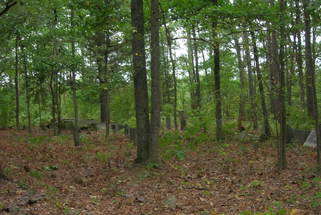
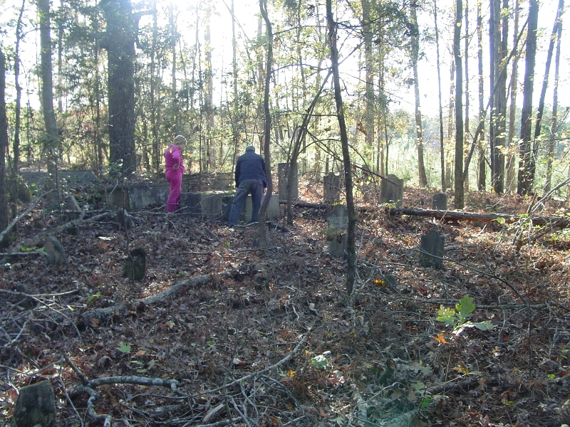
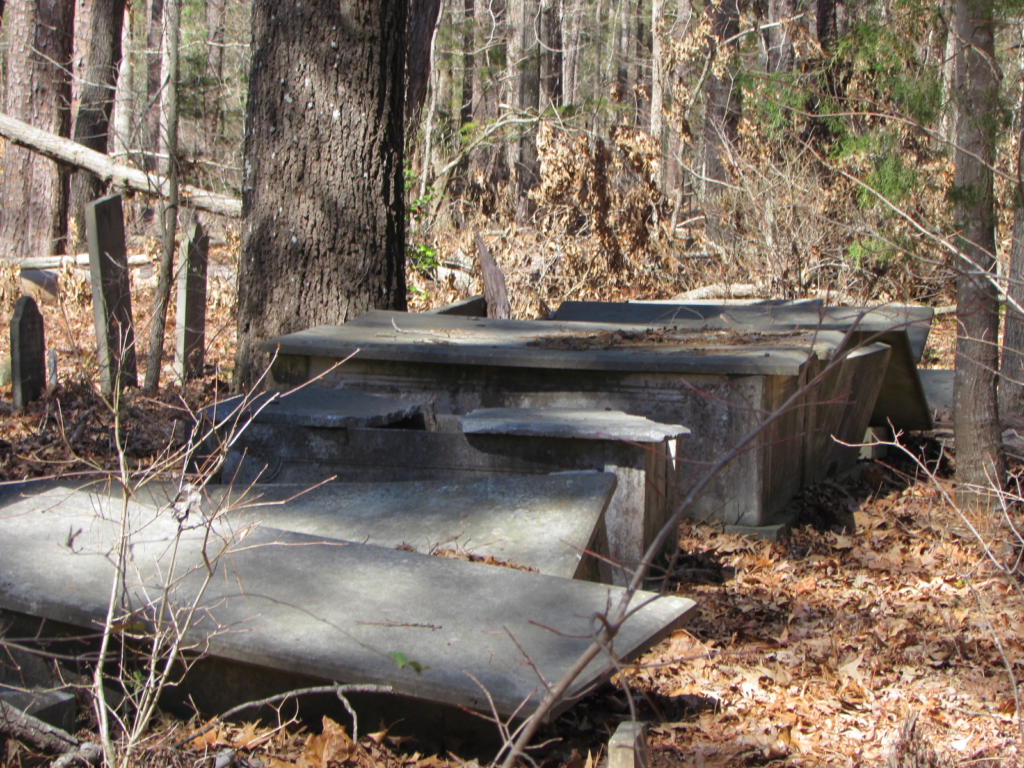
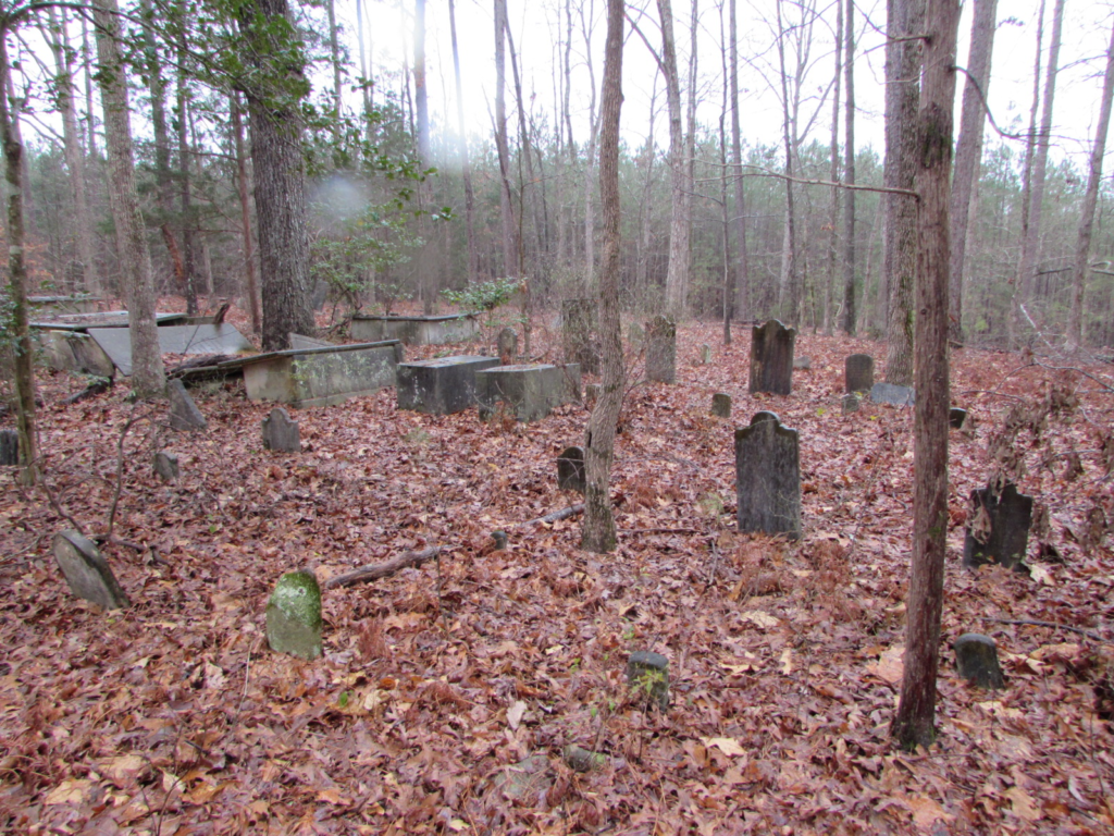
This was a substantial cemetery. I had to wonder how far off the coordinates were.
Three strikes, and I was out. I made my way back to the car. I turned north on Jalapa Road, away from the community, and took a few backroads in the area. I found myself on Beth Eden Road. I saw that I was approaching a road called Monument Road. Monument to…what? The suspense didn’t last long because said monument was right at the intersection with Beth Eden.
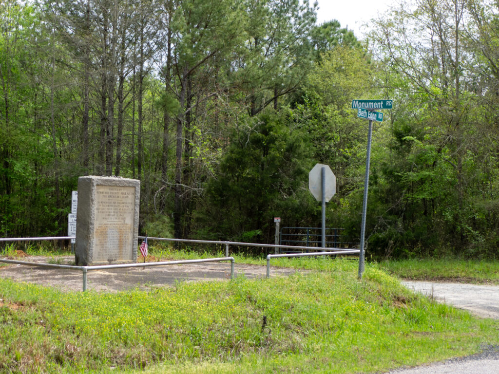
The monument reads as follows:
Erected by Newberry County Post No. 24 The American Legion.
In memory of the following men of the United States Air Force who lost their lives as a result of a plain crash near this spot on February 5, 1943 while in the line of duty.
The monument goes on to list 14 names of airmen killed in the crash. In actuality, it was two B25 planes, and not just one.
I’d never heard of this. in fact, I had a hard time finding anything in news archives for South Carolina. I finally found something in other states’ papers, which gave me some more keywords to locate a local article.
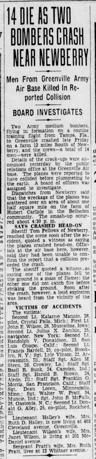
This was in the midst of WWII. It sounds like a tragic accident overshadowed by events on the world stage.
It was a disappointing trip in terms of finding the actual targets of my ramble, but it was still a great day out and about. I’ll definitely have to come back next winter when the vegetation is down.