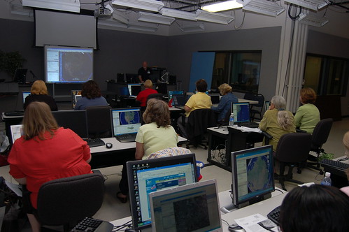
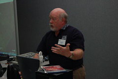
Today’s workshops went very well. As with yesterday, I did a basic Google Earth workshop then an advanced session. Both sessions were well-received, and I got some good positive feedback.
By sheer happenstance these workshops are following a logical progression. The basic session focuses on just getting used to the program. First, there is simple navigation, then I introduce the concept of a placemark, and show the teachers how to manage folders and KML/KMZ files. We also take a look at layers and how to keep those from cluttering up the screen.
The advanced workshop delves into making the placemark more interactive by adding hyperlinks, images, and other media. Unfortunately, Google Earth doesn’t have a WYSIWYG editor for placemarks, so in order to get these to work, you have to add some HTML code. It’s at this point that the eyes start to glaze over. “Code” is a four-letter word, especially for teachers. Never mind that I tried to make it as easy as possible, and only included code for links and images, some just couldn’t grasp it. Therefore, I stole an idea from someone else’s blog and created a simple tool to help them.
I had mentioned that placemarks are just mini web pages, and that you could actually design the placemark in a web editor and copy the code from there. That was still too many steps for some. What I did was create a page with a simple WYSIWYG Javascript editor. I put a textarea input form on the page with the WYSIWYG enabled. You add your links and images, then press the HTML button, and right there you have the code you need to copy and paste into your placemark. It’s really quite simple. Unfortunately, it only seems to work in Internet Explorer, and not Firefox.
But back to the logical progression…
The first two sessions make sense – learn about placemarks, then learn how to expand them. The third set of sessions covers Geotagging. It’s basically a repeat of the talk I gave at EdTech last year. However, in terms of the progression, the first two sessions dealt with the creation of individual placemarks, whether enhanced or not. This third session takes an external set of data and creates a series of placemarks.
I don’t know how many of the participants will grasp those subtleties, but I’ll point it out regardless. The only problem is that while the basic and advanced workshops were hands-on, this is lecture only. I hope they are able to take something from the workshops.

[tags]Google Earth, placemarks, EdTech[/tags]