Bennie and I have been trying to keep to our paddling schedule, but the fates have been against us. On this last day of summer we had a nice trip to Jocassee planned, but then illness struck, and Bennie was unable to go. I had my boat loaded up, so I decided I’d head on out anyway, with a slightly altered itinerary. I have been wanting to check out the old Harrisburg Plantation Cemetery on “Ghost Island” in Lake Hartwell, so that’s where I set my sights.
I had only recently been made aware of the Harris Family Cemetery. The idea of an abandoned cemetery on an island in the middle of Lake Hartwell was right in my wheelhouse. I’d seen several photos of the site posted to Facebook and Flickr, and I knew I needed to check it out. Plus, I had included information about Harrisburg Plantation in my talk about submerged ghost towns that I had given last week. It was fresh on my mind.
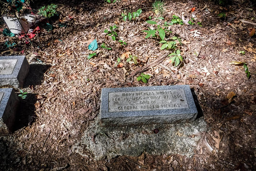
The Harris Family had large land holdings at the confluence of Conneross Creek and the Seneca River. John Harris, Jr, and his wife Mary Pickens Harris, daughter of General Andrew Pickens, were the patriarchs of the family. According to Find-a-Grave:
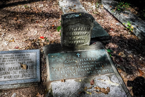
John, Jr. acquired land for the plantation using “bounty money” he received as a Revolutionary soldier. He named the Plantation “Harrisburg”, partly to honor the place that his family had emigrated from in Harrisburg, Pennsylvania and partly for his own surname. He lived there for more than 40 years and during that time was the ordinary of Pendleton and Anderson Districts. He also served as the area’s “high sheriff”, was a magistrate judge, and practiced medicine treating most of the prominent people of the district. He and his wife were both buried in the plantation’s cemetery.
Oddly enough, Find-a-Grave repeats some erroneous information that I’ve found on other websites. Even though the paragraph above says that Harris was a citizen of Pendleton and Anderson Districts, It says that “‘Harrisburg Plantation’ was on the banks at the confluence of the Seneca River and Conneross Creek near Hopewell in the Long Cane area of Abbeville Co., SC.” While it is close to Andrew Pickens homestead Hopewell, this location is nowhere near Abbeville County nor Long Cane.
I believe the references to Long Cane were for Harris’s father, the Rev. John Harris, Sr. I found a discussion on an Ancestry.com board that states that…
Reverend John Harris was a Presbyterian minister who served as pastor in the Long Cane area of South Carolina during the turbulent era of the Revolutionary War. He and his family were drawn into that conflict along with the people he served…
Sometime around 1770, the Synod of New York and Philadelphia directed Rev. John Harris to establish or serve congregations in South Carolina, and so the family made the long and difficult trip to the Carolinas, stopping briefly in Virginia and North Carolina to supply churches there with a minister.
The family arrived in Long Cane, Abbeville District, South Carolina, in November 1772. Rev. John Harris served and/or established the following churches during the years between 1772 and 1779…
The Harris family was allied with the Pickens and Calhoun families of this area and there were marriages among the three families.
I think Find-a-Grave and whomever else quoted the Long Cane reference conflated the senior Harris with the junior.
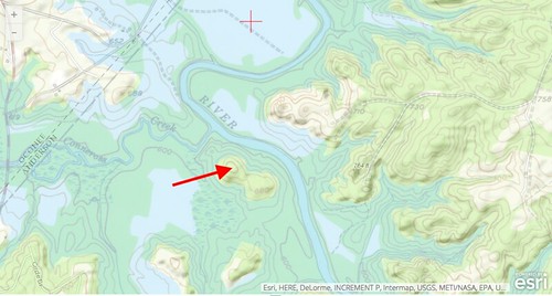
Regardless, when Lake Hartwell was constructed in the 1950s it inundated the former plantation, leaving a peanut-shaped island. This image from the USGS Historical Topo Explorer shows a pre-lake 1951 map on top of the present view.
When the lake was built the remaining family wasn’t interested in fate of the cemetery. According to Find-a-Grave:
Due to the resistance encountered by next-of-kin, the HARRISBURG CEMETERY, X2400-1-C, containing 59 graves was not relocated but left on its original site. A hearing was held on 31 May 1961 in the United States District Court for the Western District of South Carolina before the Honorable Judge C C Wyche, and as a result of this hearing an Order was filed 05 August 1961 refraining the removal of the Harrisburg Cemetery. This order further relieved the United States of any responsibility to furnish ingress and egress to said cemetery, or any responsibility for the care and maintenance of the graves located in said cemetery, and of any claims for damage resulting from the non-removal of this cemetery which might be occasioned by the operation of the Reservoir and from damage which might be caused by private individuals using said Reservoir for recreational purposes.
And so, Harrisburg Plantation became known as “Ghost Island”, or “Cemetery Island” to the locals, and became a popular spot for camping.
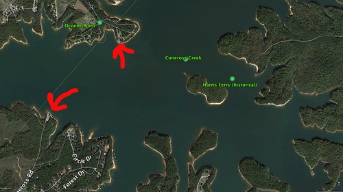
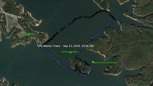
Google Earth indicated several boat ramps within kayaking range of the island. The closest was at Oconee Point, but there looked like there might be another at the end of Conneross Road. From my starting point, Oconee Point would be the easiest to get to from Greenville, so that’s where I planned to launch. From there it would less than a mile paddle out to the island.
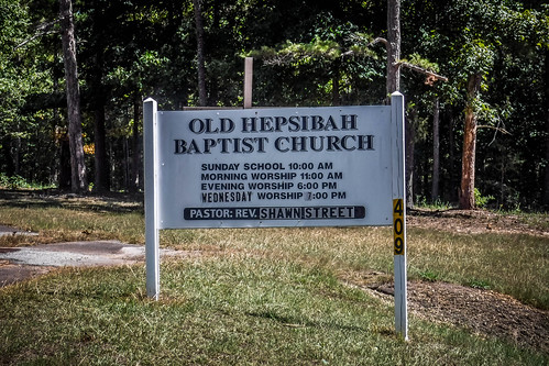
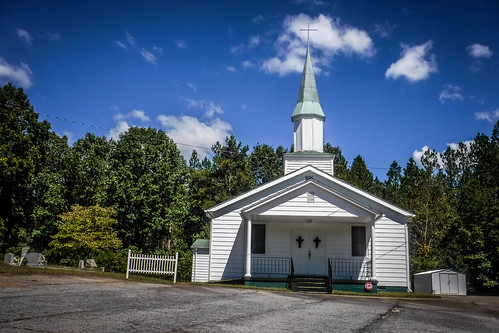
My route from Greenville took a path that bypassed Clemson on the south side. I drove past the Old Stone Church and the site of Hopewell, home of General Andrew Pickens. There were several other historic places where I stopped for photos in the past. There was Friendship Methodist Church, and the Old Hepsibah Baptist Church – one of those old church names that always fascinates me. The road wound through the Clemson’s Musser Fruit Tree Research Farm before finally reaching Oconee Point Campground.
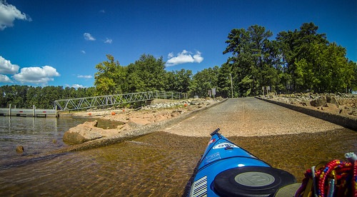
Oconee Point Campground is operated by the Army Corp of Engineers. I pulled up to the gate and asked about day use facilities. I was told that this was for camping only. When I said I just wanted to launch my kayak, the attendant said he could give me a launch permit for $5. That was fine with me, so I headed on in.
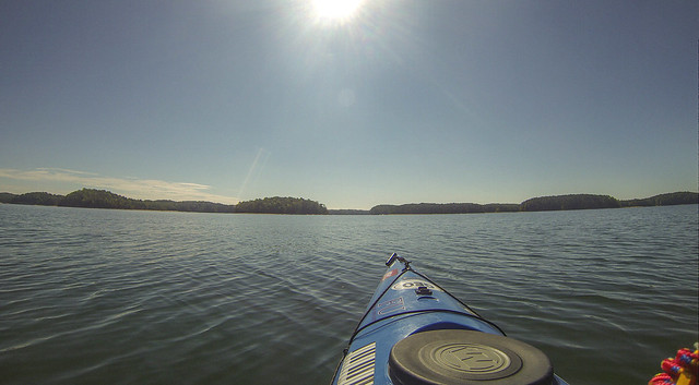
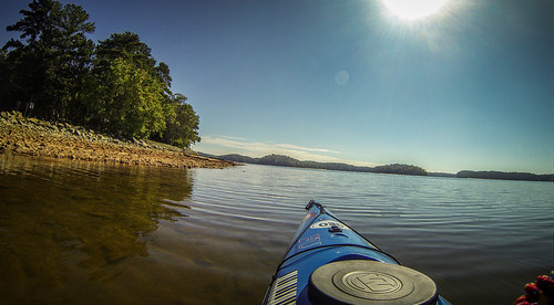
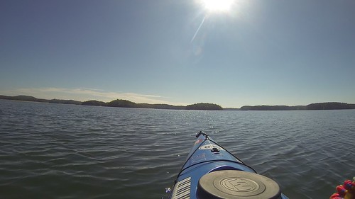
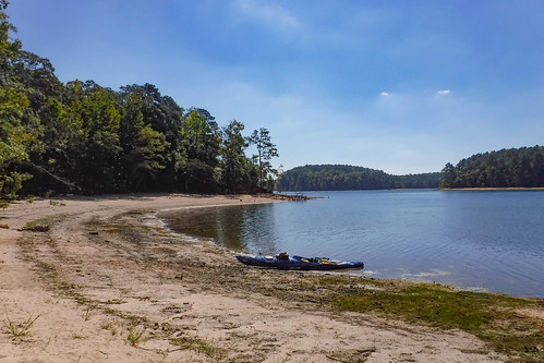
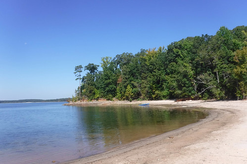
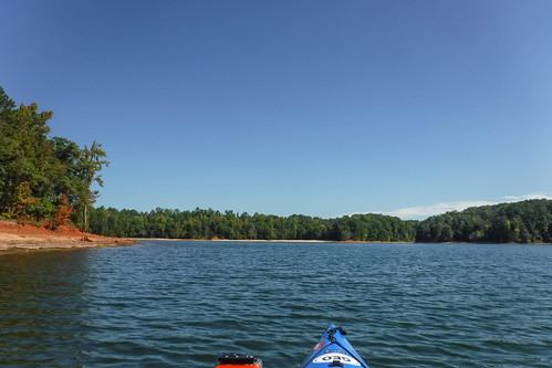
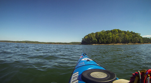
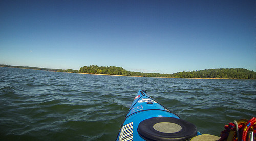
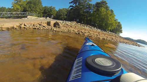
There was a good bit of activity in the campground itself, but I had the boat ramp to myself. I off-loaded the kayak, setting it on the rocks to the side of the ramp so I didn’t block it for motorboats, then parked the car. From the ramp I could see my destination island. It looked much, much closer than I had envisioned it.
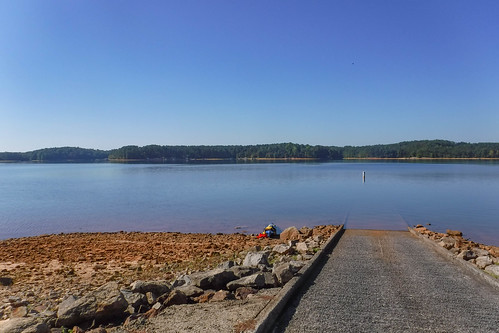
It was hot and there was the smell of dead fish. Stepping into mucky silt to launch the boat didn’t help with the first impressions of the lake, but once I was on the water things improved. There were were a few ripples and a breeze from the north that would come into play later in the day.
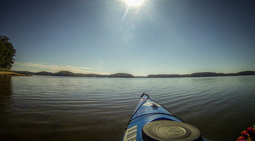
I made the crossing in very little time. There were a few boats and one jetski out and about, but none came close. Soon I was pulling up to the island.
I did get a bit of video from the GoPro:
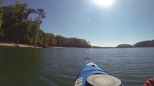
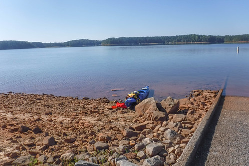
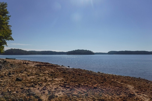
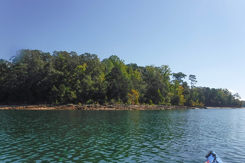
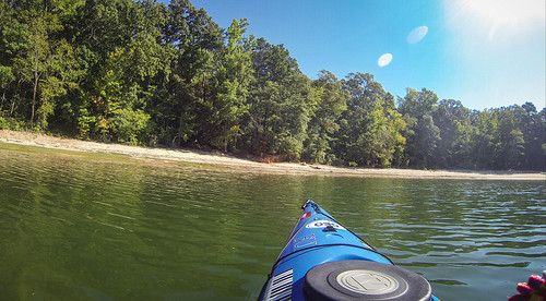
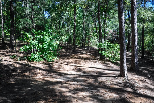
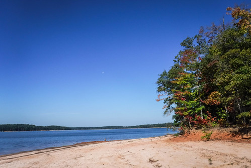
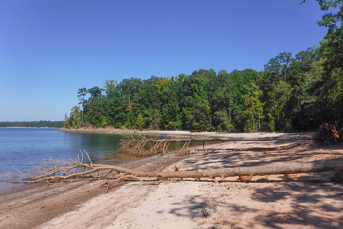
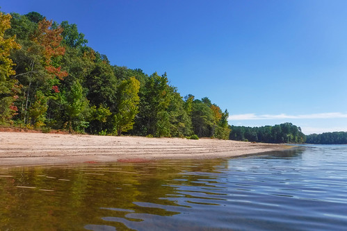
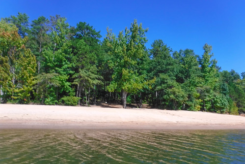
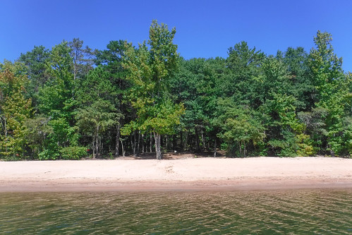
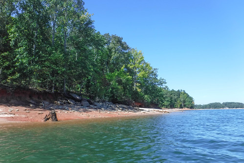
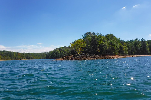
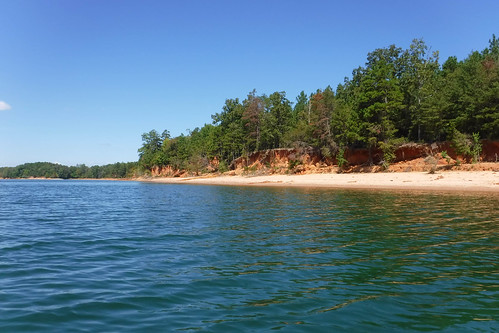
On the south side of the island there is a deep cove with a wide beach. Water levels are down at Lake Hartwell, so the beach was even wider. I pulled up to the cove and stepped out into more mucky silt. Oh well.
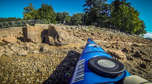
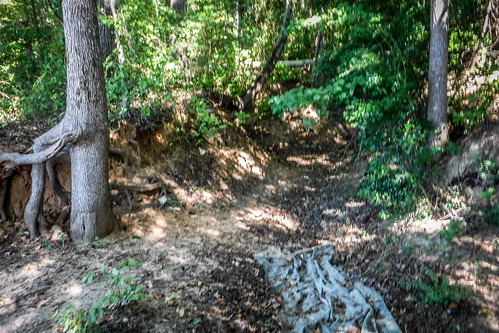
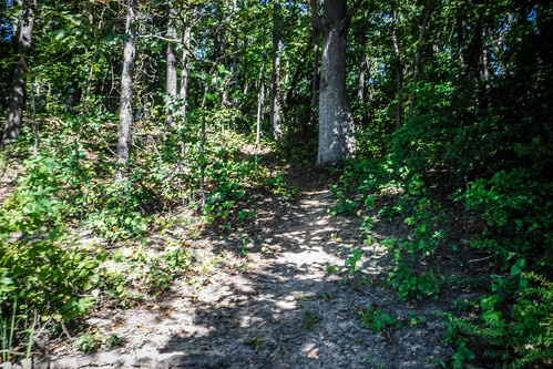
From my landing site there was a path that led to the interior of the island. Sadly, the detritus of camp sites littered the area. I hadn’t loaded the coordinates of the cemetery into my GPS, but relied on my memory of a graphic I’d used in my presentation. Turns out that was all wrong. There were several clear paths and openings, but nothing that looked like a cemetery where I thought it should be.
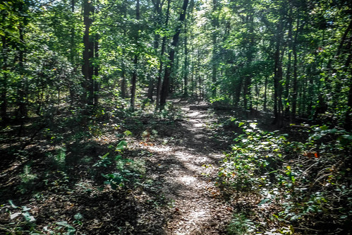
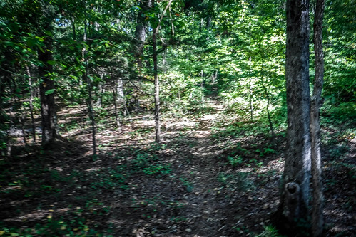
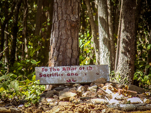
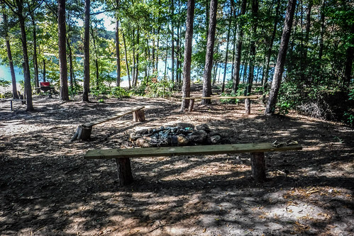
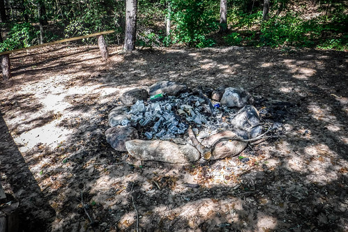
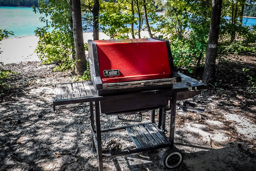
I continued to the east, roughly following the paths I found. I saw an open area ahead, and hoped it was my destination. It turned out to be an even larger camping area. There were rough benches, cables spread between trees, and even the remains of an abandoned Weber grill. Unfortunately, there was other trash, like a fire-ring full of broken glass bottles. I just don’t understand why people are so lazy that they trash a place. In fairness, it was much neater and cleaner than some places I’ve been, but I still hate to see any litter.
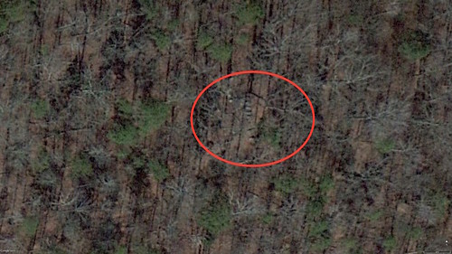
By now I was really confused. I know I had passed the site I’d marked in Google Earth as the location of the cemetery, but I hadn’t found anything. I opened the Find-a-Grave app on my phone to double-check location. Turns out I was way off. I also immediately realized my mistake. Here’s the Google Earth image I’d used to locate the cemetery:
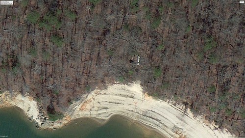
I had assumed the cemetery was that white structure close to the shore. Turns out that was just a downed tree trunk. The shadows of the other trees create the segmentation on the trunk. The actual cemetery was more on the northwest end of the island. After the fact I was able to find it in Google Earth. The headstones are much more subtle.
Armed with the correct coordinates, I walked along the beach, since it was easier than pushing through underbrush.
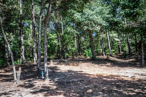
Just up the beach from where I landed a path led steeply up the hill. There I found the cemetery.
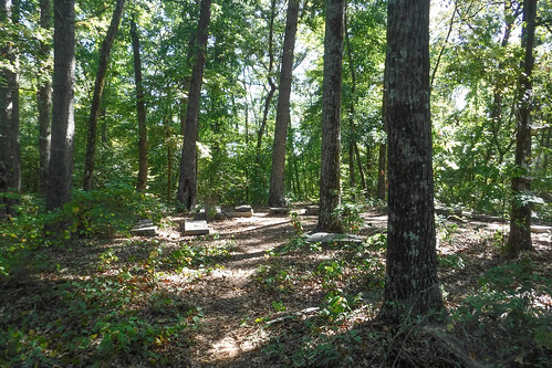
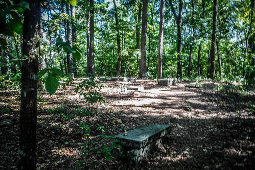
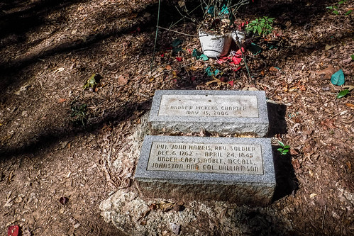
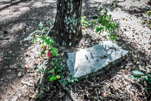
Of the 59 recorded interments at this site, only a few of the headstones are extant. All of the original stones are illegible, but replacement stones have been added. There are a few fieldstones.
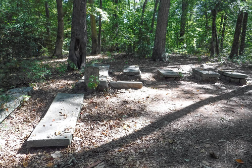
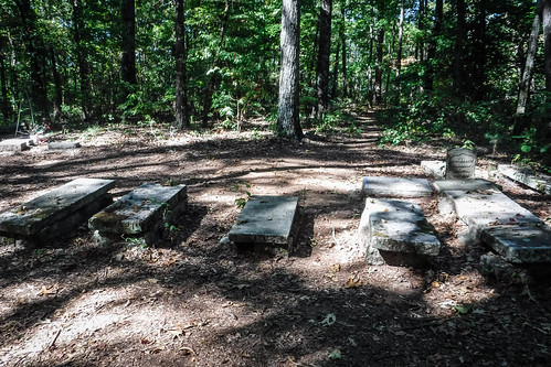
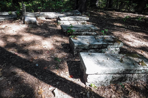
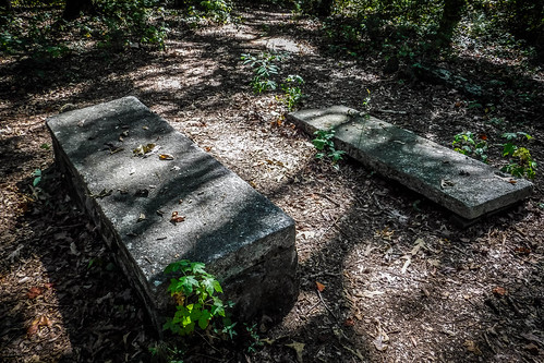
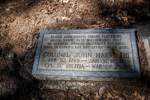
There had been reports of vandalism, and given the state of the campgrounds on the west end, that doesn’t surprise me. I tried to imagine this area as it might have been before the lake. It would have been sitting on a hill with a view down to the Seneca River, probably a very peaceful place. I spent a few more minutes listening to bird calls until a motorboat disturbed my reverie. I decided it was time to continue my trek.
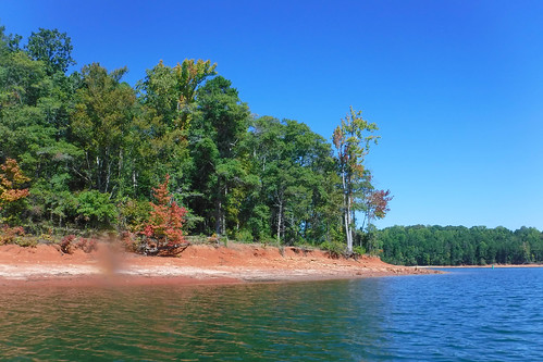
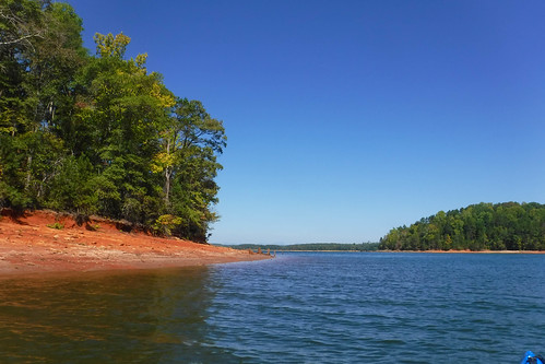
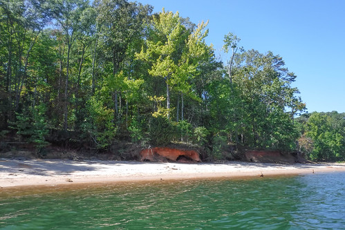
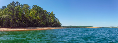
Back at the boat I paddled around the island. I could easily spot the campground from the water. I was surprised at the fall colors already creeping into the trees. The north side of the island actually looked more interesting, with deep erosion caves. On the west end of the island a large sand spit jutted into lake, and was marked with a hazard buoy now on dry land because of the low lake level.
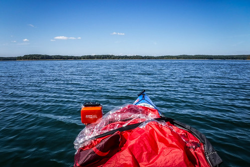
It would have been a quick paddle back to the landing, but I wasn’t done with the day. I wanted to explore some more. Apart from a couple of destinations like Andersonville Island and Ghost Island, I’d never really thought about Lake Hartwell as a paddling destination. Knowing how popular it is with boaters, skiers, etc., it just didn’t seem very kayak-friendly. Plus, I imagined it ringed with lake houses and docks, not the most appealing scenery.
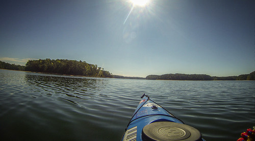
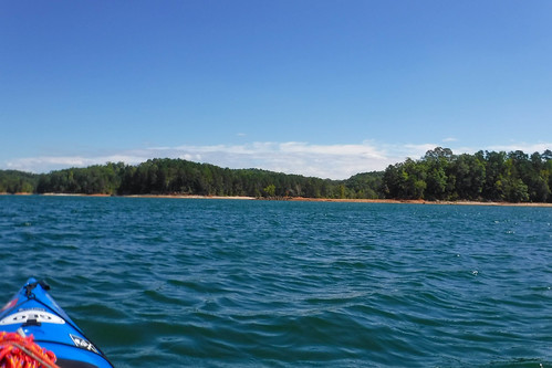
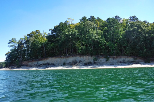
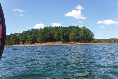
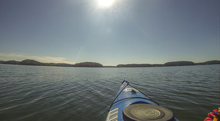
This bit of the lake seemed different, though. The east bank is bordered by the Clemson Experimental Forest, and the west bank by more Clemson land. While the view wasn’t exactly pristine, it wasn’t too bad, and there were mountains in the distance, to boot. It being mid-week during the school year, boat traffic wasn’t too bad, either. I turned north, planning to explore as much of the Seneca River as I could.
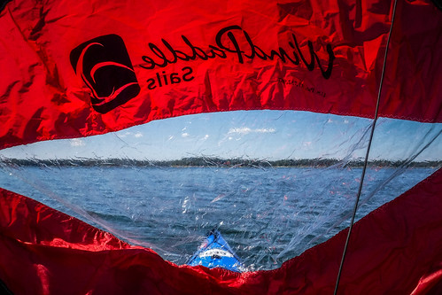
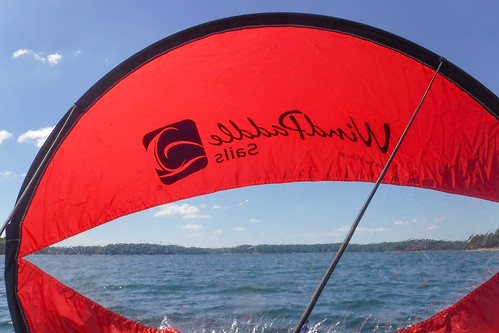
A stiff north headwind blew up waves around me. I paddled until I got to the point that separates the Conneross/Martin Creek cove from the rest of the Seneca River and pulled over for a bit. Upstream a boat with a skier was making wide circles. I briefly wondered if I could make it all the way to Clemson from here. (For the record, it would have been an additional 7 miles one way with headwinds.) I dismissed that idea, and decided to head back. Since I had such good winds, I decided to deploy my sail. I used it to get me all the way back to my launch site.

In all I did about 4 and a half miles, not very far for one of my trips.
I did manage to keep the GoPro going the entire time, so I have a time-lapse. The bit with the sail flapping over the camera is kind of fun.
I was very sorry Bennie couldn’t have joined me for this trip, but I’m glad I satisfied my curiosity about Ghost Island and the Harris Family. Now I have some correct information should I ever have to give that talk again.
This island is on my to-visit list, so I was very much interested in reading your report. The Oconee Point and Coneross campgrounds close for the season Sept 30. If you had chosen to come just a few days later, you would have been forced to launch much further away. Whew!
Lake Hartwell has a few minor waterfalls in the Clemson area you may be interested in visiting sometime. One is Horsehead Point Falls, on the western side of Lake Hartwell WNW of Clemson [map and directions link], and Meadow Falls [location link], north of Clemson near Six Mile. Horsehead Falls and Meadow Falls are both reachable by water from the Twelve Mile Recreation area. Meadow Falls can also be reached by foot.
You were lucky to be able to launch from oconee point. I had family members who wanted to view the island from the boat ramp. They traveled from Georgia to view it because they had researched some ancestry and found some ancestors actually buried there on Ghost island. The guard at the gate denied there being a boat ramp after I explained what we wanted to do. So, we went there only to he turned away. Very disappointing. I thought I had even read somewhere that the acoe would arrange travel out to the island by appt.
I’m sorry to hear that you had trouble. It sounds like you got a less friendly attendant than the one who helped me. I can assure you that there is a boat ramp there, but they did say that there was no day use – only camping. For whatever reason they let me in that day.
I’m not aware of any group that will take folks out to the island.
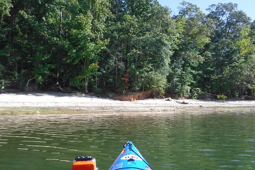
Thanks for this, I we t last Wednesday, I think Helene knocked some trees down and of course people have left trash sadly. Overall glad I went!