This was my last Second Saturday with Lowcountry Unfiltered before we move out west. I was hoping for an epic trip for this outing, and Matt came up with a perfect venue. This particular Saturday we would be exploring the wilds of the Lynches River through Florence County. It would be one of our longer treks, and take us through areas we had not yet explored. It did turn out to be an epic, and most excellent trip.
I made this observation while on my eastern South Carolina ghost town trek a couple of weeks ago. These regions are largely unknown to me. Like “fly-over” states, these are “drive-through” counties one breezes past on the way to Myrtle Beach. There are vast waterways in this sections that I’ve never paddled – the Pee Dee, Little Pee Dee, Waccamaw, Black, and Lynches Rivers, to name a few. Part of the problem is that these are out of the way for many of us. Yet, in reality they are no further than the Edisto or some of the other Lowcountry rivers we paddle.
For this trip we would be launching from the Highway 52 bridge over the Lynches river and paddling an eleven mile section down to Indigo Landing. The route was just south of the community of Effington and runs entirely in Florence County. It would be about a three hour drive to the launch site from my home.
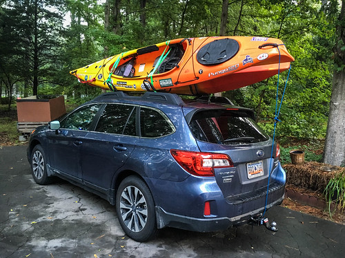
I broke up the trip by driving down to my brother Stephen’s house in Irmo the night before. He would be coming along on this trip. This would also be the first time using the new Subaru Outback to haul kayaks. It would only be an hour and a half from his place.
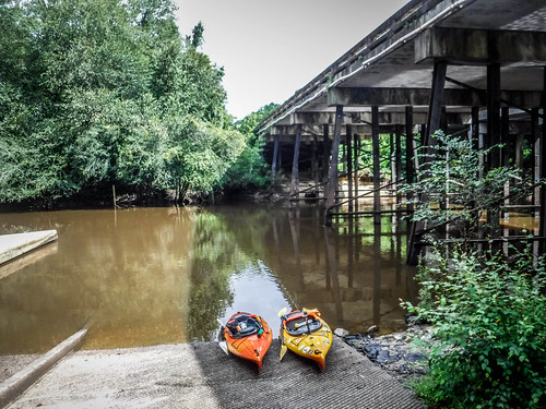
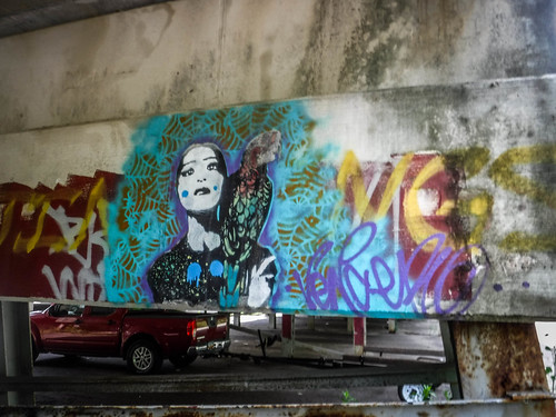
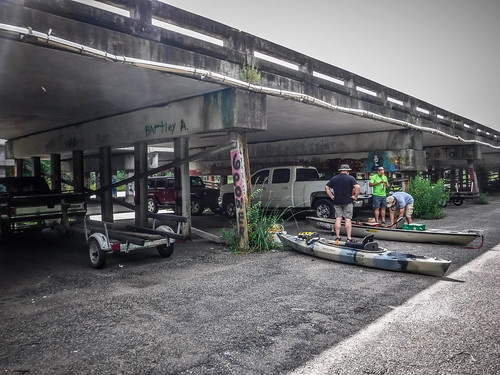
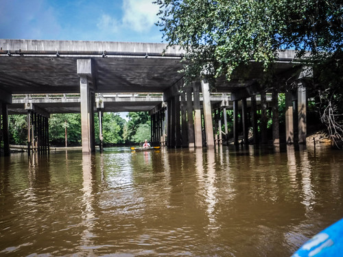
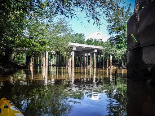
Stephen and I arrived just a little after 9:00 to find Jerry Crisp waiting for us. There was a developed ramp and parking area under the twin bridges of Highway 52. A couple of small motor boats had launched and a couple of other trucks were parked at the bridge. Graffiti covered the bridge supports.
We left Stephen with the kayaks while Jerry and I ran the shuttle down to Indigo Landing. The take-out looked like it was suitable only for canoes and kayaks, which was OK for us. We left my car there and drove back the put-in.
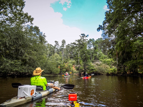
Matt arrived from Bluffton, rounding out our group. There would only be four of us on this trek.
As we prepared for launch a train came by on the tracks that parallel the highway. It would have been cool to paddle under the trestle with the train overhead, but we couldn’t get launched in time. You can see boxcars on the train in this next photo.
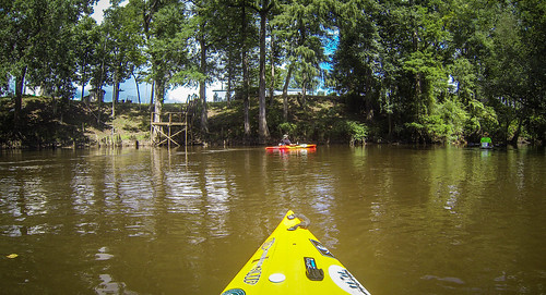
We did get launched. I explored the area around the three bridges. There were old bridge abutments between the four-lane and the railroad. It looked like the north side of this was now used as a gaging station. The supports for the railroad trestle were massive.
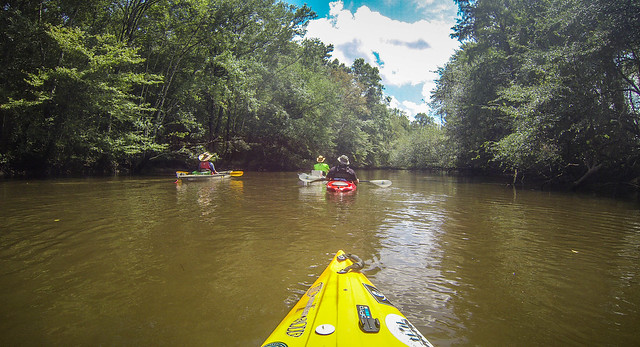
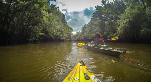
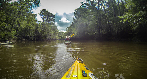
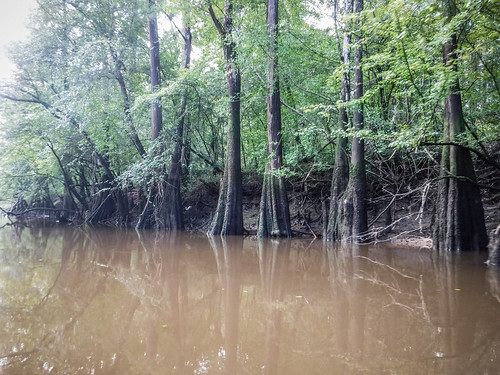
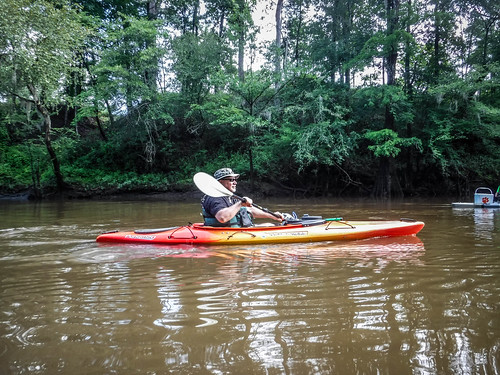
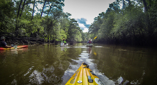
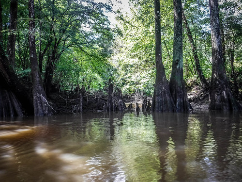
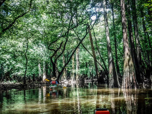
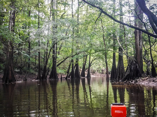
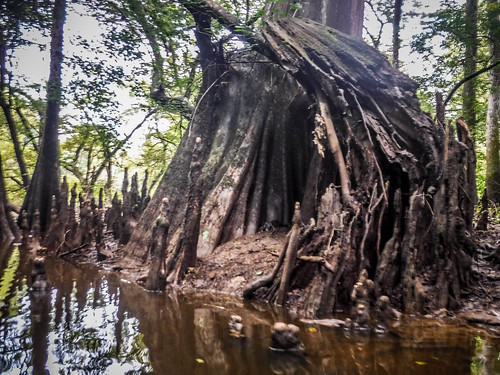
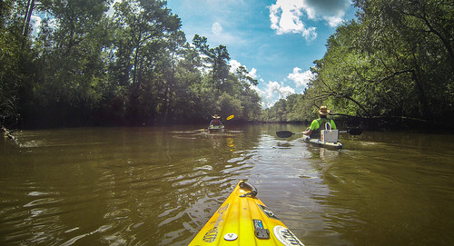
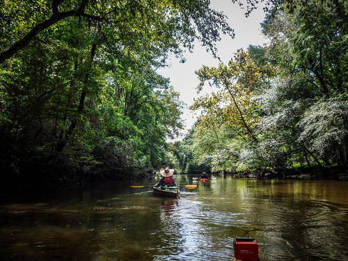
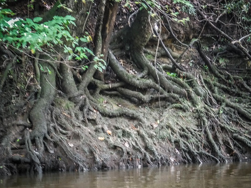
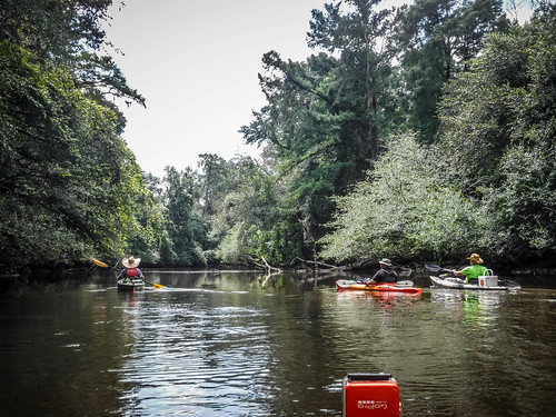
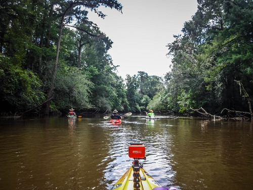
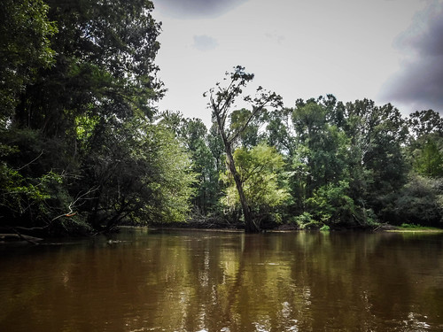
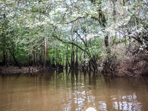
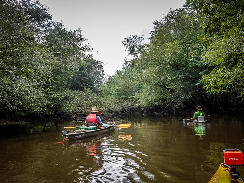
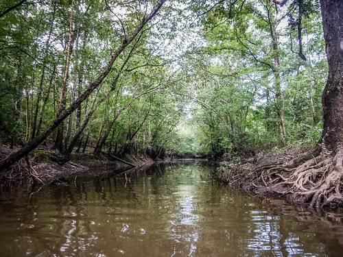
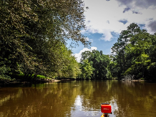
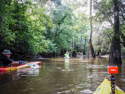
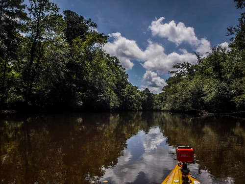
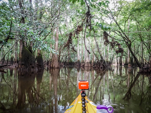
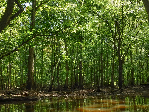
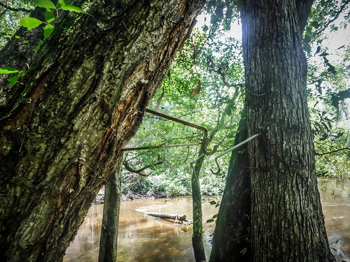
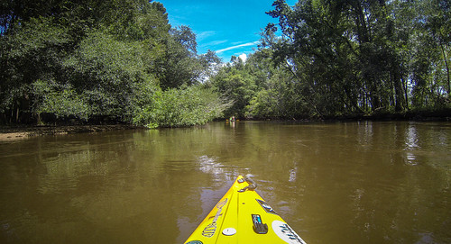
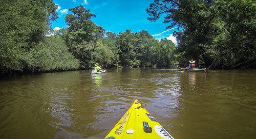
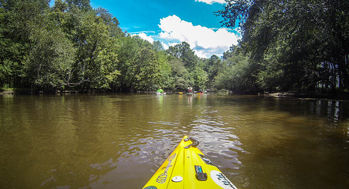
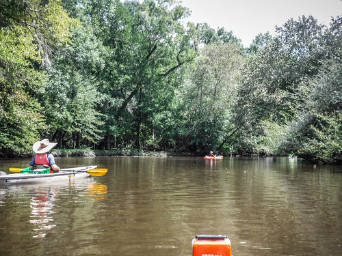
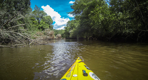
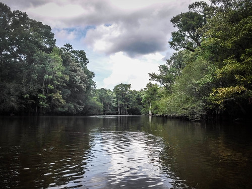
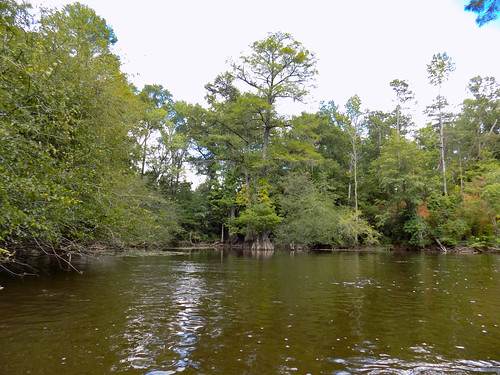
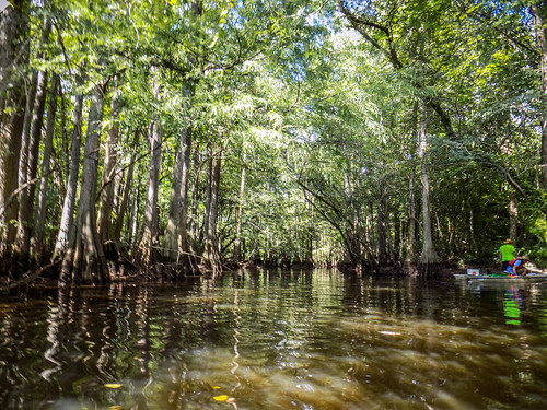
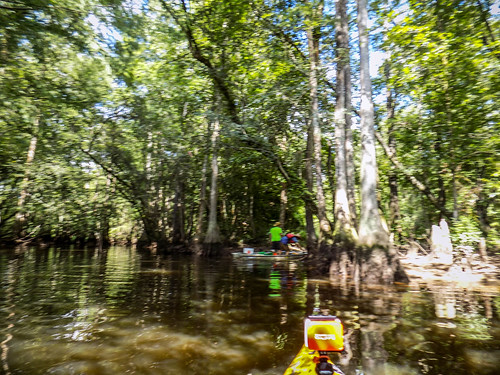
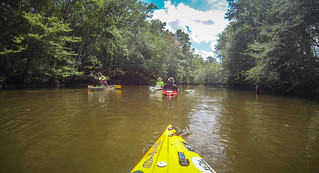
Conditions were great for paddling. It was partly cloudy and hot, but we could escape into the shade of overhanging trees. The river was at a good level and flowing with a decent current. We headed on downstream among mostly hardwoods mixed with a few cypress trees.
There were lots of little side channels, oxbows, and swampy areas to explore. We poked into a couple of these, but for the most part stuck with the main channel. We had a long way to paddle.
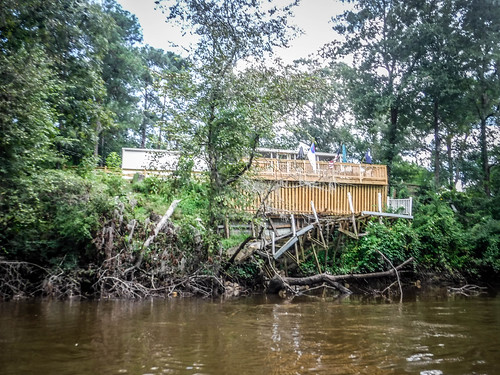
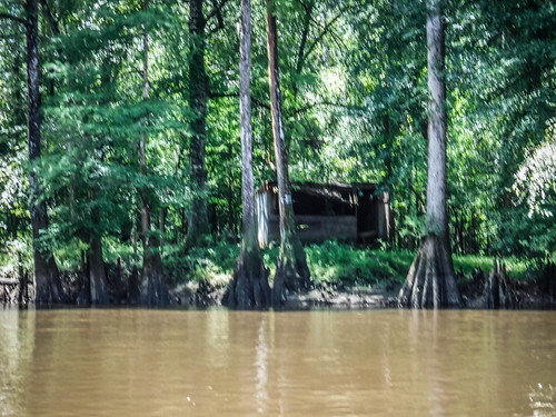
There were a few houses along the way, but for the most part it was fairly remote. I knew that just beyond the wooded swamps and drainage of the river there were large farms, but these weren’t visible from our point of view.
I had marked a significant oxbow on my GPS. We reached the fork and decided to explore it. There was a swampy oxbow island to our left and a fields just beyond the trees to our right. We spotted a couple of straight canals heading out through the fields. There was a pickup truck at a landing. Sadly, we couldn’t complete the circuit because of a deadfall blocking the way. We had to retrace our steps back to the main channel.
Even though I’d never paddled this river I had scouted it in Google Earth and transferred several waypoints to my GPS in addition to this oxbow. I had marked a nice looking beach that would make a good lunch stop, but we were making better time than I had thought. We got there before we were ready for lunch. We decided that it would be best to put a few more miles behind us so that we wouldn’t have such a long slog after lunch. We kept paddling.
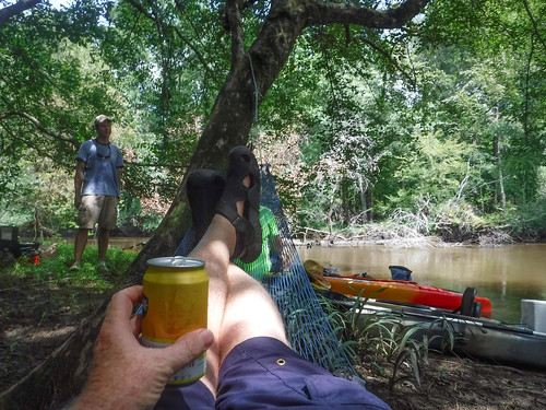
We kept paddling but weren’t seeing any good places to stop. Any spot low enough seemed too muddy. It was as if all of the good beaches were upstream. Finally we found a spot at the downstream end of an island. It had a shaded beach, and with some doing there was a place to hang a hammock.
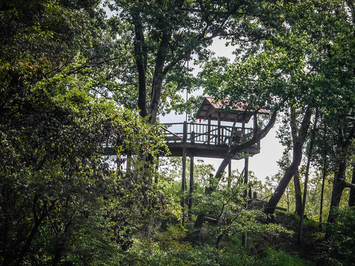
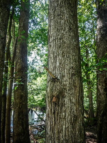
Apparently we weren’t the only ones to hang out here. There was an old campsite with hooks and brackets for hanging lanterns and stuff.
We continued on downstream, still with a long way to go. Paddling with the current I was keeping the pace above 4 mph, which is pretty quick for me.
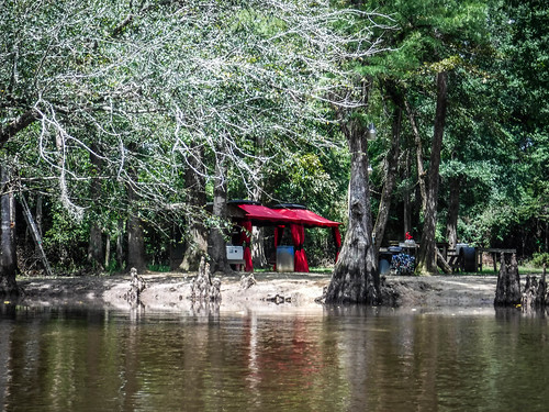
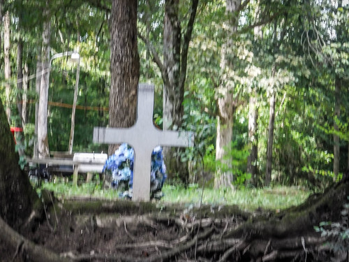
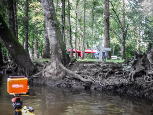
We came to a place were bright red pavilions were set out with a party that had just happened. There was a bin full of beer cans and quite a spread still sitting on the tables. However, there was no one around. There was also a memorial cross and flowers right at the bank. Should we get out and explore? The jugs of iced tea and goodies on the table sure were tempting. A weird twist on Goldilocks and the Three Bears ran through my mind. We kept going downstream.
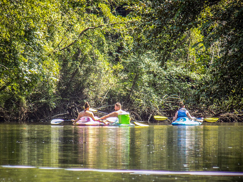
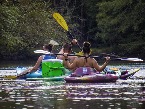
Lots more paddling. We had passed a couple of small john boats out on the river, but now we were approached the first group of paddlers we had encountered. This group had rented kayaks from River Rats Outfitters, located at our take-out. They were from Maryland and were out enjoying the river.
Finally we reached the Anderson Bridge on the Friendfield/Francis Marion Road. We only had a couple of miles to go.
More paddling, and more river miles passed.
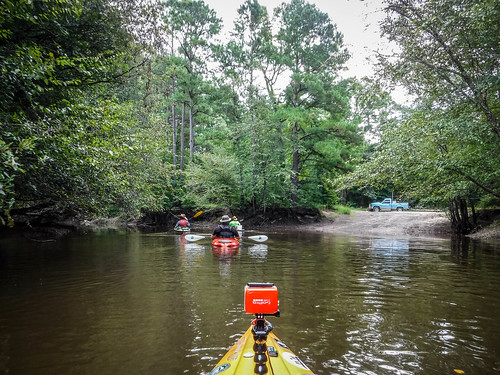
Finally we reached our take-out at Indigo Landing. We pulled the boats out, left Stephen to watch them, then went to retrieve the other vehicles. We rendezvoused back and loaded up.
We had paddled 13.37, including all of our side explorations.
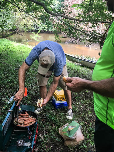
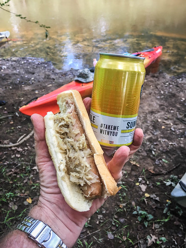
Any good Lowcountry Unfiltered adventure includes the “Three B’s” – breakfast, bratwurst, and barbecue. Stephen had cooked an excellent breakfast this morning, Matt had done his usual bang-up job at lunch with the brats and sauerkraut. Now it was time to find some BBQ. Here was also parted ways. Jerry headed toward Scotts BBQ in Hemmingway, but we set off in search of good Q in Lake City, more along our route home.
Our first stop was Rabbit BBQ. It sounded interesting, but when we got there only three cars were in the parking lot. Not a good sign for 6:00 on a Saturday night. We kept searching.
The second place was out of business, then Stephen remembered Schoolhouse BBQ up in Scranton, north of Lake City. With a name like that, I knew we had found the right spot.
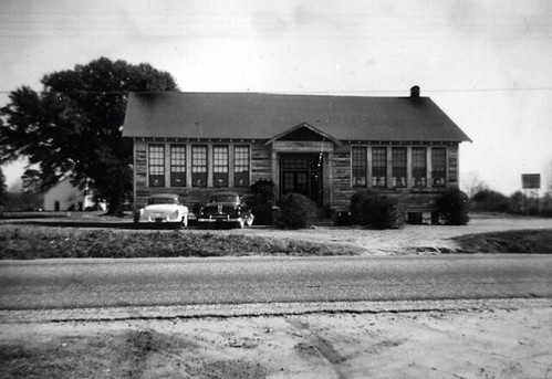
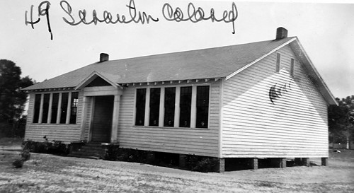
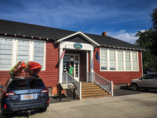
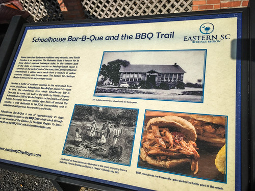
The Schoolhouse BBQ was in the old “Scranton Colored School” building. I was able to find a photo on the South Carolina Archives and on SCIWAY.net.
The building was renovated in the 1980s, and has been occupied by Schoolhouse BBQ since 1994.
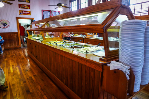
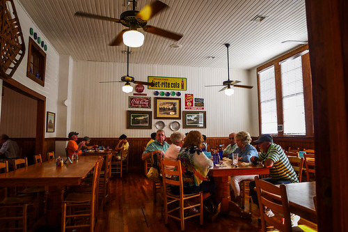
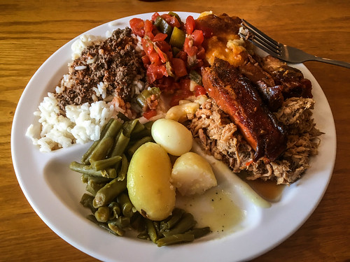
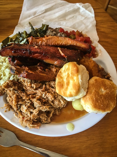
When we arrived the place was hopping – much more promising than Rabbit BBQ had been. Food is served buffet-style, and the original school building had been expanded for more seating.
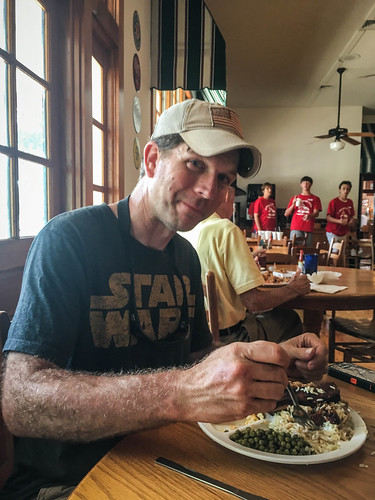
A youth group from a local Baptist church was serving as wait staff. Tips were going for some mission project. Apparently different churches around the area do this on a regular basis.
The food was great and it was hard to show will power and restraint. After all, we had paddled a long way today.
We said our goodbyes to Matt and took a long, slow route back to Stephen’s house. It was late when I finally got home.
It had been a great day. I got to explore a new cool river and find some good food along the way. I know I’m going to have new adventures out in Washington State, but I’m going to miss the monthly river trips with these guys.
Here’s the link to the entire photo album from the trip:
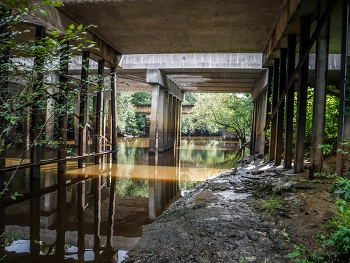
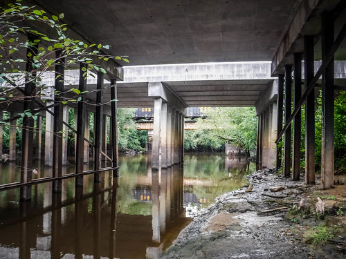
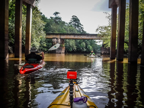
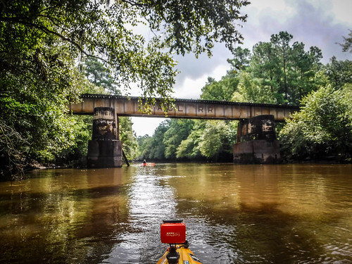
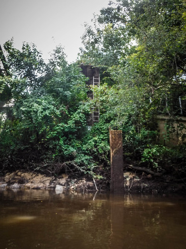
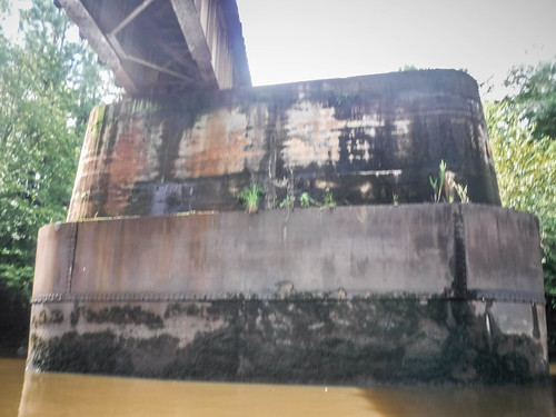
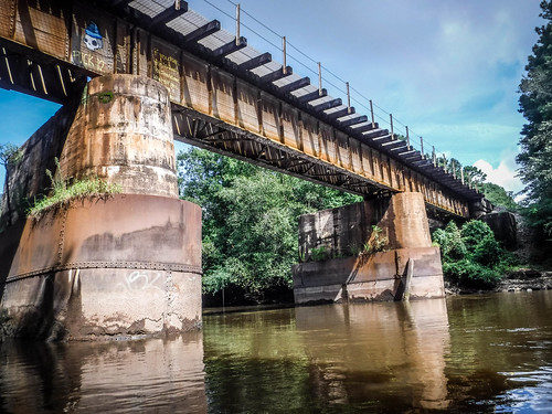

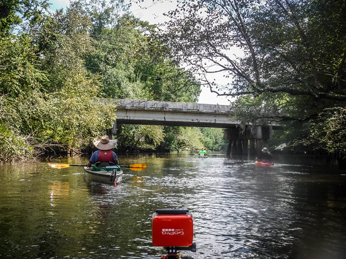
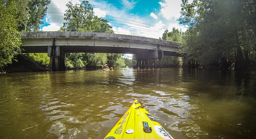




That railroad bridge support system looks like it was designed for one or two more bridges than were on it. I wonder if they had planned a second railroad crossing there, or Road, or if something had been there and then been removed.