Water, water everywhere, and not a drop to…paddle.
…to paraphrase Samuel Taylor Coleridge.
I live on an island. You’d think I could just drop a boat in and take off anywhere, but it’s not that easy. The tides, wind, etc., etc., have to be just right. Plus there’s the issue of a steep cliff right in front of us with no easy access for hauling a kayak. If I’m going to put a boat in the water, I still have to load it onto the car and drive it to some access point. This past Tuesday I really wanted to get out for a longer trip but the tides were just not going to work out. I decided to try one of the local lakes instead, so I headed up to Lake Samish.
I’ve driven around the shores of Lake Samish many, many times over the years. I-5 runs along one edge on the route up to Bellingham. Tucked into hills north of here along Chuckanut and Blanchard Mountains, it’s a natural lake with no dam, but it’s also heavily developed with houses ringing the shore.
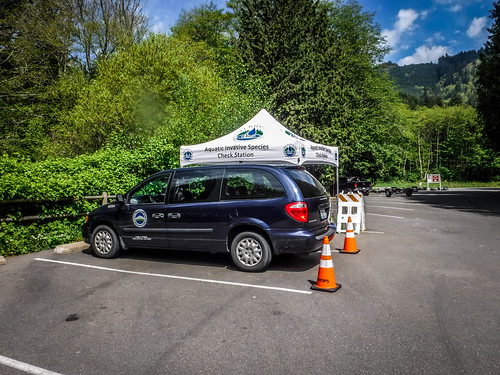
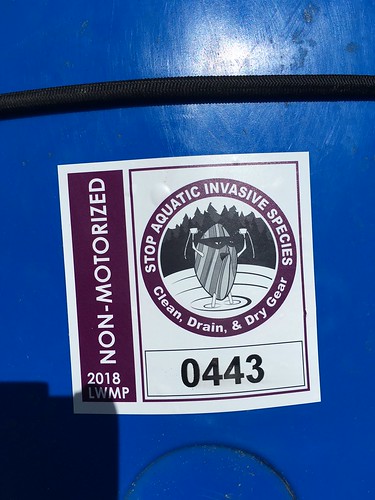
Lake Samish wasn’t my first choice for paddling. In fact, the development along the edge had really dissuaded me from kayaking. I really wanted to head on up to the south end of Lake Whatcom and paddle along the Blue Canyon area. However, both lakes require a sticker and inspection for aquatic invasive species. Only the Lake Samish inspection post would be open during the week, with Lake Whatcom opening on weekends for the time being. I figured I could get the sticker today, do a short paddle on Samish, then hit my real target later when I had the appropriate documentation.
I’d had my boats inspected several times for AIS on the drive across country and had documentation that these had passed. However, the city of Bellingham has even stricter rules for Lakes Samish and Whatcom. It turns out that these are sources of drinking water for the city, so they are serious about contamination, etc.
I pulled into the launch area on the east side of Lake Samish and where two young men at a booth greeted me. They got some initial information before starting the inspection, then told me that they would waive the $10 fee if I passed a short online quiz. I passed with flying colors, but I was a bit more worried about the boat.
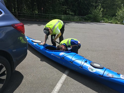
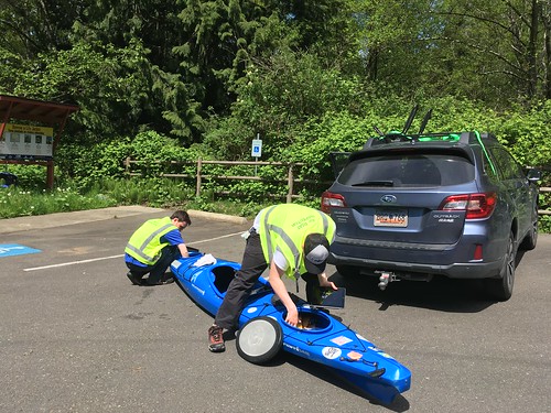
Since I had a South Carolina license plate they were even more thorough. I had to pull the boat down and let them inspect the inside as well as the hull. They even opened the hatches to the storage compartments. They wanted to know what bodies of water the boat had been on outside of the state of Washington. My response? “You’ve got to be kidding! If I told you that we’d be here all day and I’d never get to paddle!” I told gave them Lake Jocassee just so they would have something for their records, but said that they should include most of South Carolina, Western North Carolina, Georgia, and Florida.
I got my sticker and was ready to hit the water.
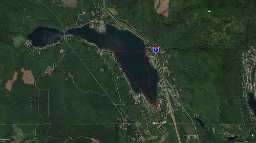
On the west side of the lake is a sheltered cove with a park. My first thought was to paddle that way. However, as I was driving in I had crossed over Friday Creek, and that part of the lake looked interesting, too. I headed south, thinking that it wasn’t a big lake an that I might be able to hit both targets on this trip.
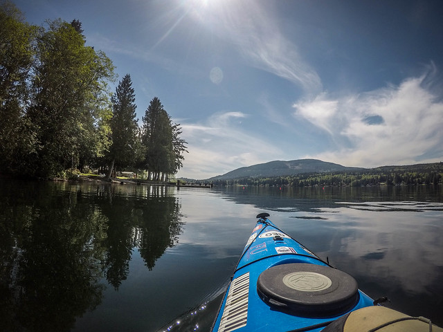
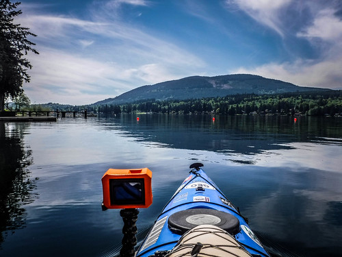
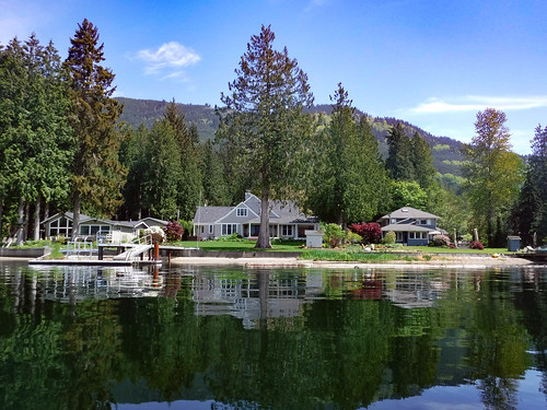
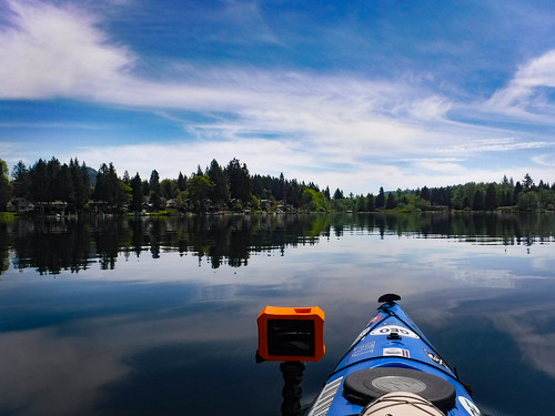
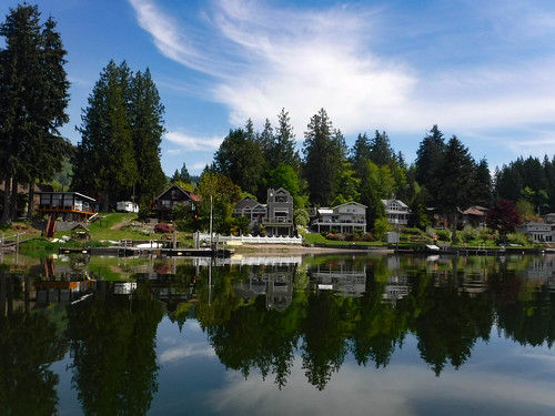
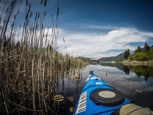
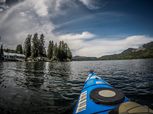
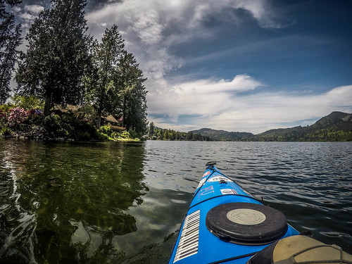
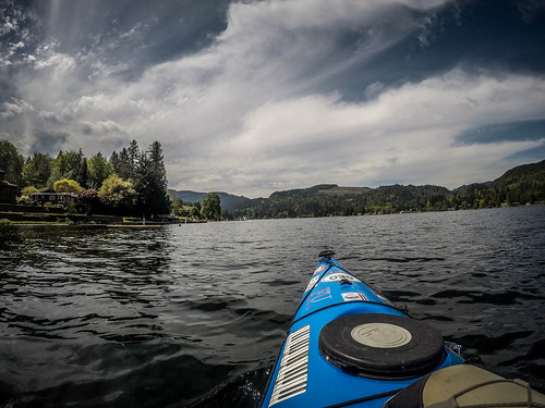
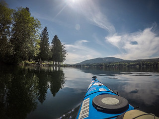
It was a perfect day for paddling. The wind was calm and the water clear. I paddled past lovely homes on the east side of the lake. Sadly, there was one huge problem. I-5 is just yards from the eastern shore and traffic noise is inescapable. I was reminded of my paddle on the French Broad River through the Biltmore Estate next to I-26. Oh well.
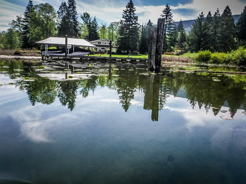
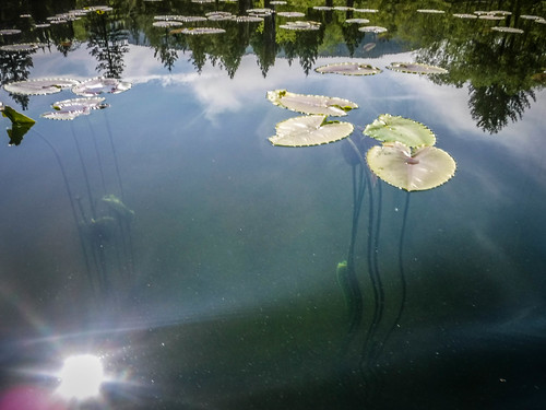
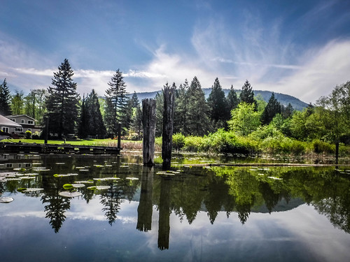
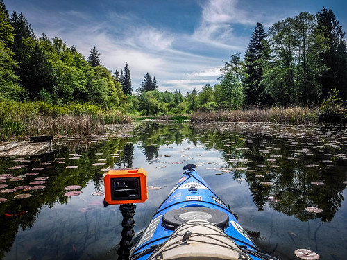
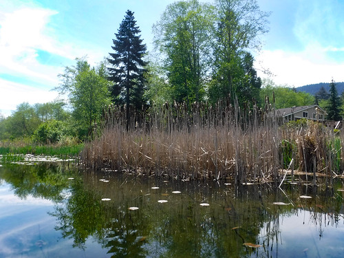
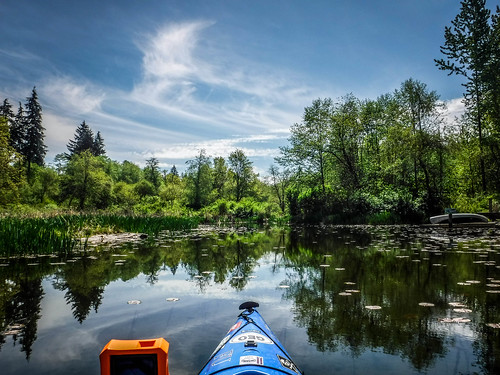
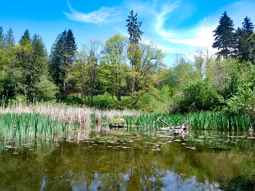
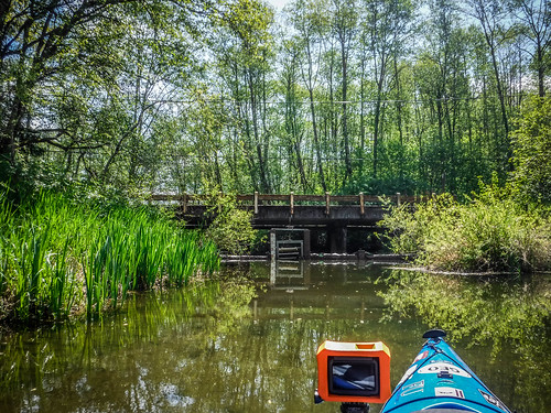
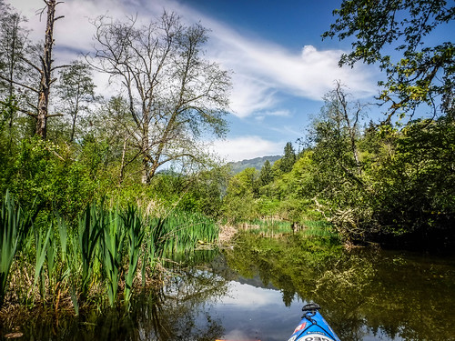
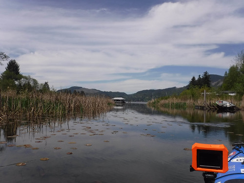
Eventually the lake narrowed as I entered the creek. Even in the backwaters there were large houses. There were also cattails and a few lily pads, but it looked like the Water Authority folks were doing a great job of keeping AIS from the lake. The water was exceptionally clear.
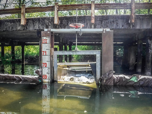
I reached the bridge where I had crossed Friday Creek and was surprised to find my way blocked. There was a small flexible dam with a gate allowing water to flow OUT of the lake. Normally I find water flowing INTO lakes from creeks and not the other way around. It occurred to me that I didn’t really know anything about this lake, and this was my first clue that it might be a natural lake.
When I got home I did find that this was a natural lake and that Native Americans settled on its banks long before colonists got here. There is no dam, but I still was unfamiliar with the hydrology of the lake. It obviously flowed out from this point, but what was the source of its water? Did it also flow out of other creeks? I’d need to do a bit more digging.
I made my way back out to the main water.
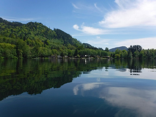
From Friday Creek I made my way along the west shore of the lake, hoping to make it to the cove on the northwest side. As with the east shore there were lots of houses – some quite impressive and others somewhat modest. Folks were out and about on this lovely day and I heard lots of lawn equipment in use.
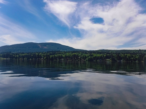
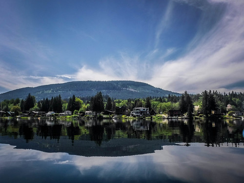
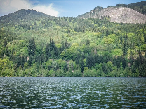
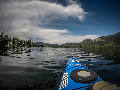
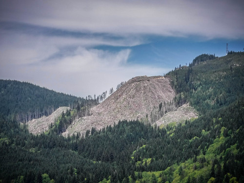
Lake Samish is ringed with mountains. Some of that scenery isn’t so nice, though. Several of the hills bear the scars of timber clear-cutting.
I continued on until I reached the point where the cove opens to the west. Traffic was starting to pick up, with a couple of jet skis scooting around and other boats launching. It was getting later than I had planned, so, reluctantly, I decided to save the cove for another day and head back to the ramp.
I paddled close to four miles, which was more than I expected.
I had my GoPro running and was able to do a time-lapse of the trip.
[flickr video=http://www.flickr.com/photos/randomconnections/40181976920]
Lake Samish isn’t my favorite lake because of the traffic noise and development, but the water is clear, there’s easy access, and it’s not far. I guess it would be similar to paddling Lake Robinson or Lake Cunningham back home. I do want to find out more about the lake, though, especially its history and hydrology. I’ll have to come back and see what other streams flow into and out of the lake.
