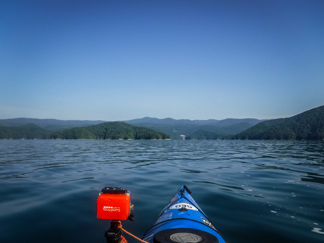
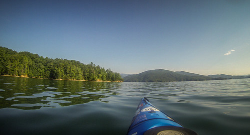
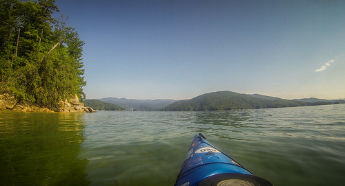
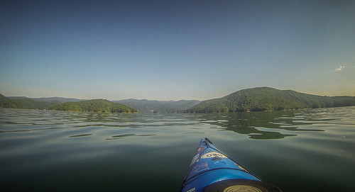
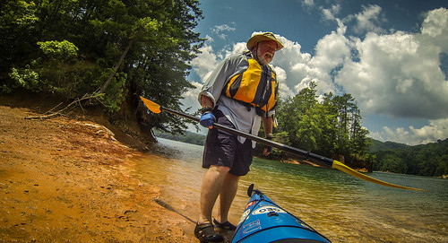
As much as I like paddling with my friends, sometimes I like just getting out on my own. This week I was in the mood for just such a trip. Temperatures were supposed to be hot, and Lake Jocassee seemed like the perfect place to cool off. Tuesday I decided that’s where I would head.
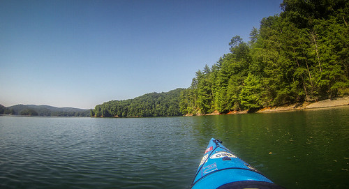
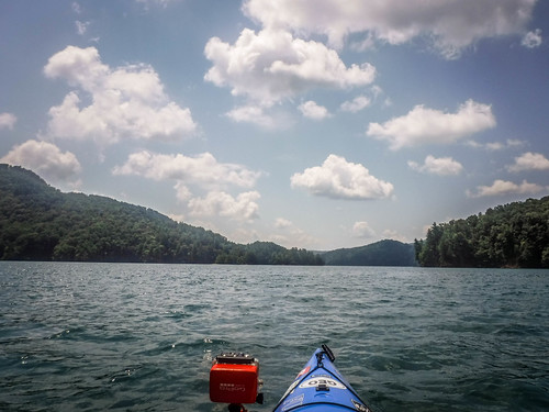
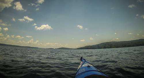
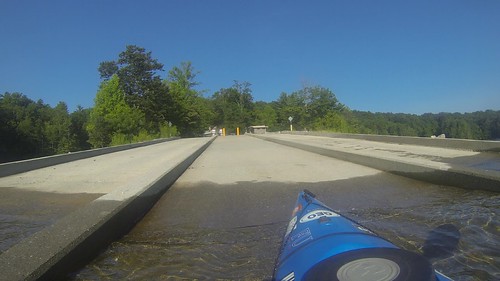
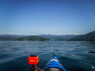
I like to get an early start when I paddle Jocassee. You never know what the weather will bring. Even if it’s clear in Greenville with no rain forecast, a storm can pop up over the mountains. Even so, I was a bit later heading out than I would have preferred. I got to the lake about 8:30 and launched from the far boat ramp accompanied by clear blue skies.
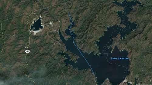
I really had no idea where I was heading. I didn’t want to go too far, so the east arm of the lake was out of the question. Some day I’ll do that section, but this wasn’t that day. Ultimately I decided to do my usual route up to Wright Creek Falls, then just see what happens from there.
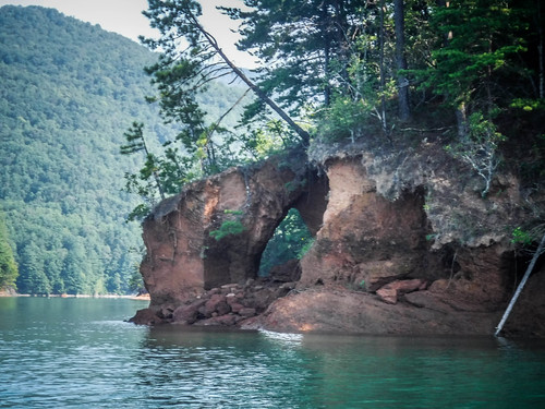
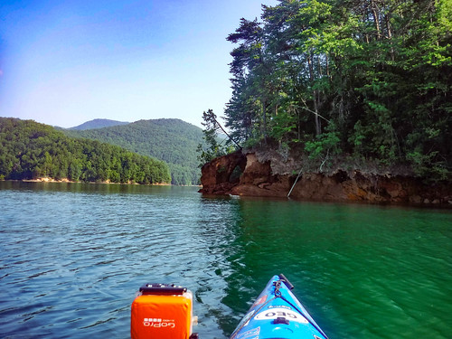
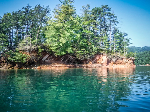
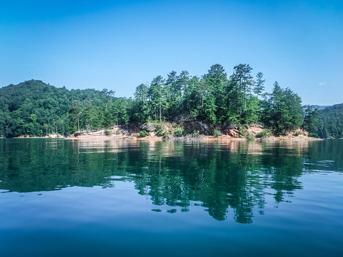
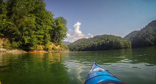
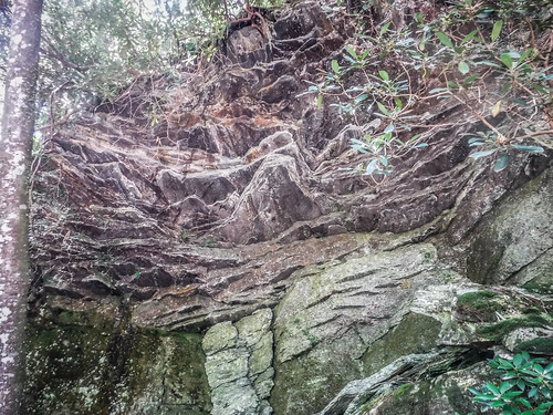
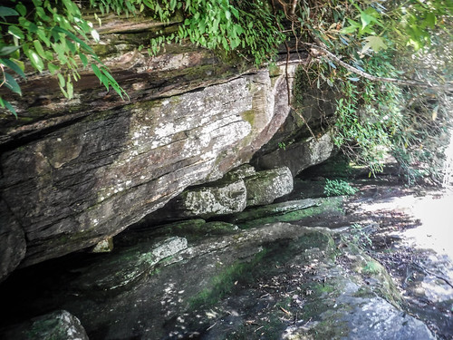
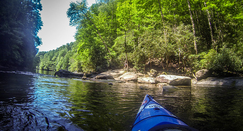
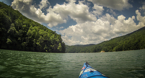
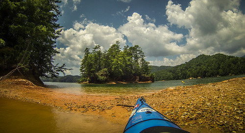
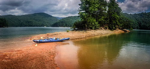
Water levels weren’t high, but also weren’t as low as I’ve seen them. The small islands become peninsulas at low water, but now they were still true islands. However, the water was low enough for interesting geological features to be visible.
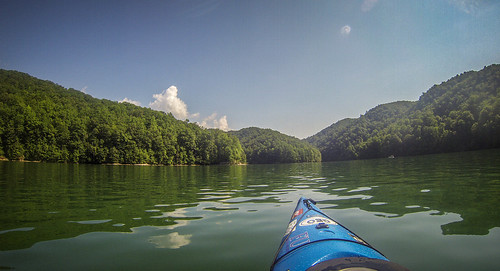
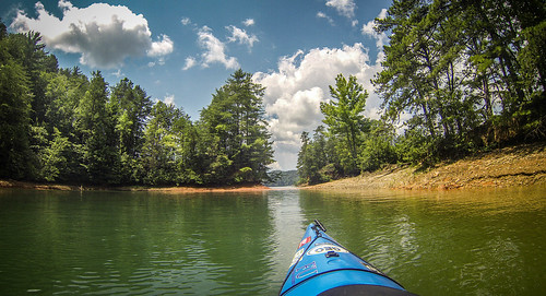
The water was as cool and beautiful as I had hoped. I was tempted to pull up on one of the exposed coves and just hang out all day, floating in the water and kayaking be damned. I might do that one of these days – just paddle out far enough to get away from things, then set myself up with hammock, a cooler of drinks, maybe some snacks, and a good book.
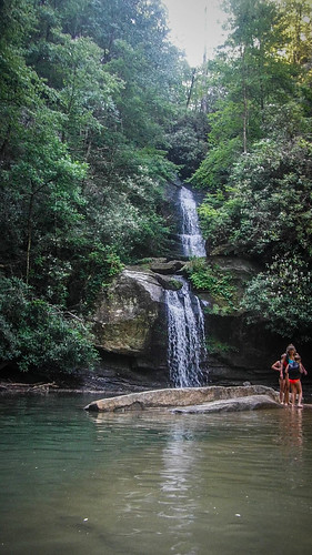
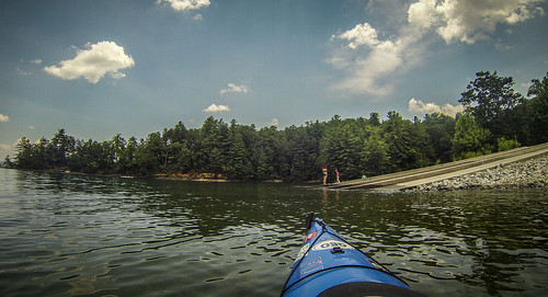
I wasn’t the only one enjoying the water. Several pontoon boats and a couple of ski boats plied back and forth. When I got to Wright Creek Falls a pontoon with a family aboard had pulled up to the small beach below the falls.
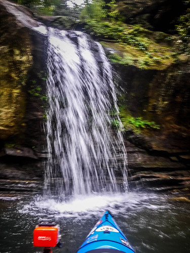
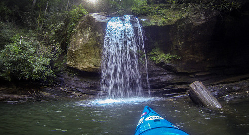
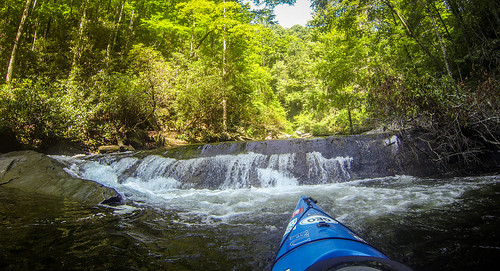
At the current water level the falls were falling directly into the lake instead of splashing off of the rocks below. However, it was too low to paddle behind the falls. I could get the bow of the kayak under the falls, though.
I had reached Wright Creek Falls fairly early, so I decided to head on up to the Thompson River branch of the lake. There are some significant falls up there. Several boats were also heading up that way, so I knew I would have company.
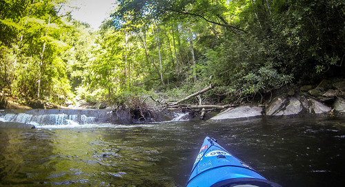
This is another one of those places where the water levels really change the experience. On a previous trip I was able to paddle pretty far back. This time I could only get to the final drop into the lake.
A couple of small boats were pulled up, but I decided to get out and explore anyway. As I started up the trail a couple hiking down warned me of a yellow jacket nest. I walked cautiously among the moss covered boulders.
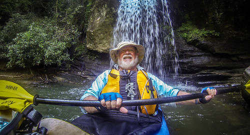
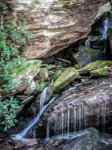
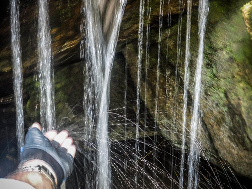
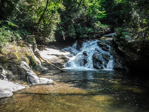
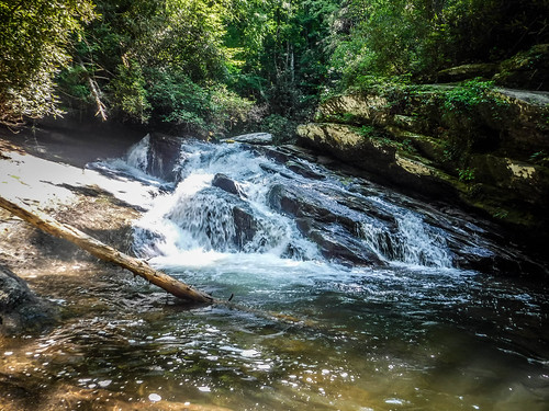
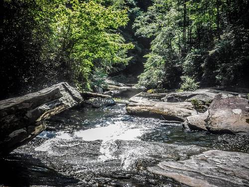
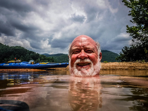
I reached an upper set of falls that cascaded into a sparkling pool. I had it all to myself for the time being, and I decided it was the perfect place to hang out and cool down for a bit. I doffed my shirt and plunged into the frigid water. Well, plunged isn’t exactly the right word, but I did go on in.
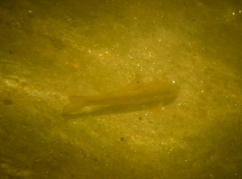
The water was so clear that I could see trout swimming around my ankles. I used the waterproof camera to catch a few shots. I guess this is about as much fishing as I do nowadays.
Another couple joined me and we chatted a bit. We decided to hike back down at about the same time. We stuck closer to the water this time so as to avoid the yellow jackets. That gave us better views of the cascades down below.
The other couple took off on their jet ski and I headed out on my kayak. More boats were pulling up as we left, including two kayaks. I figured this would be a popular spot. I headed on back at a fairly quick clip.
As I had feared, clouds were starting to build. Billowing thunderclouds were rising behind me, and I could hear thunder in the distance. I was facing a headwind, however, which would blow the storm away from me. I figured I was safe for the time being, but I didn’t slow down…yet. I was surprised to pass another group of kayakers heading up the Thompson branch. They had the same type of kayaks as the other couple, so I’m guessing these were rentals.
I reached the small island I’d photographed earlier. There is another small island just to the east that is connected with a thin strip of land. It formed a perfect sheltered cove, and I just couldn’t resist. Despite looming storms I pulled up and went for a swim.
The water drops off almost immediately. Just a few feet from the bank and I was over my head. I just floated on my back for awhile, not worrying about the weather or anything else for the time being.
I was surprised when I pontoon boat came through the narrow channel between the island and the bank. It was fine for kayaks, but I didn’t think it would be deep enough for a motor boat. The pontoon came through, but kicked up enough wake to wash over the small isthmus and send my kayak reeling. I got it under control and decided it was time to head on back.
I kept a pretty quick pace, wondering what speed I could maintain. I’d gotten an invitation to go paddling on Jocassee, but that guy is much more serious about paddling. His slow pace is 3.5 mph, and he averages 4.5-5 mph, which is very quick. I found that I could cruise fairly well at 3.5, but beyond that was pushing it. It was also very tiring and I certainly wasn’t keeping that speed long enough to make it an average. The last 2.5 miles of the trip wore on both my arms and my thighs as I braced against the foot pegs for more paddling leverage.
Along the way I did get hit with a few raindrops, but refused to look back to see how close the storm was. “Don’t look down”, as the adage goes. When I made it back to the ramp there were lots of kayaks out and about. The clouds were dark, but not as threatening as I might have thought. One guy told me he was going ahead and launching out toward Wright Creek.
I had paddled almost 11 miles today, which wasn’t too bad. I was off the water by about 2:00 pm.
Here’s a time-lapse of the trip. Click the image below to view the video:
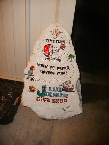
I wanted to change out of my wet clothes, but the restroom at the ramp was closed for cleaning. I drove around to the non-motorized ramp where the restrooms were open. Even though this ramp is designated as “non-motorized”, most kayakers launch from the far ramp since it cuts down on paddling distance. Divers often use this ramp, and such was the case today.
After changing, and as I was coming back to the car I met several divers coming up to the ramp who had parked next to me. I casually asked if they had dived down to the cemetery, and they said that they had. This is where I learned something new about the lake.
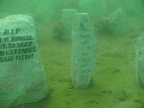
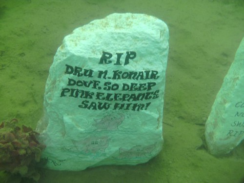
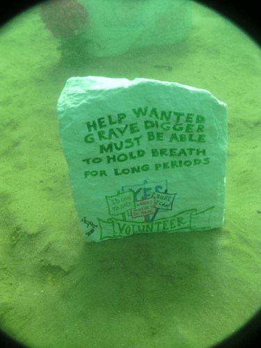
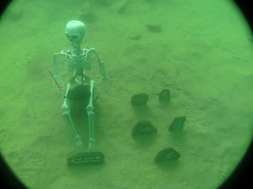
One of the guys said that they had only dived down to the “fake” cemetery. This was new to me. They described a cemetery consisting of stones with humorous sayings enclosed with a wall. The real one – Mount Carmel Baptist Church Cemetery – is at 115 ft, beyond the range of most divers. This one is at 35 feet and is more accessible.
When I got back home I did some digging and found a Facebook page for “Jocassee Memorial Gardens.” This is the guy who created the fake cemetery, and he had posted numerous photos. The following photos are from his Facebook page:
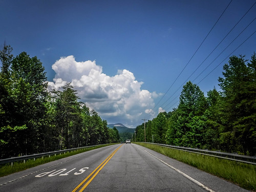
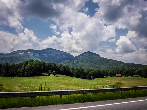
It was a great day out on the lake by myself, and I even learned something new. As I drove back along Highway 11 even more clouds loomed over the Blue Wall, making Table Rock quite dramatic.
