This past Saturday Laura and I joined the Upstate Minis for their annual History/Mystery Tour. In the past the group has visited the Georgia Guidestones and other historic locations in South Carolina. This year the tour took on an X-Files theme, with a visit up to the Pisgah Astronomy Research Institute, aka PARI, in Rosman, North Carolina. This was our first time on the History/Mystery Tour, and despite bad weather, we had a blast.
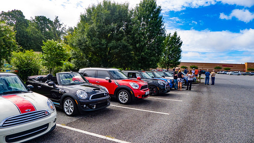
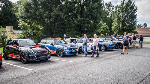
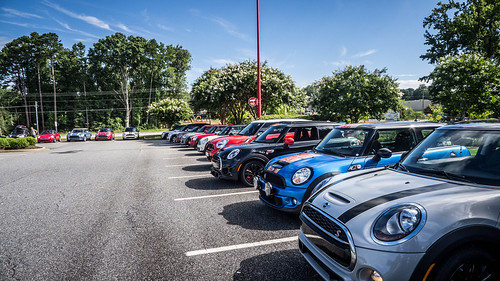
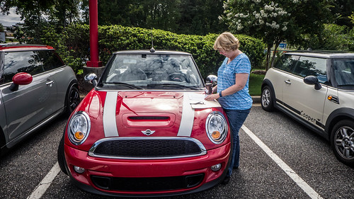
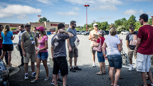
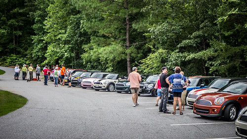
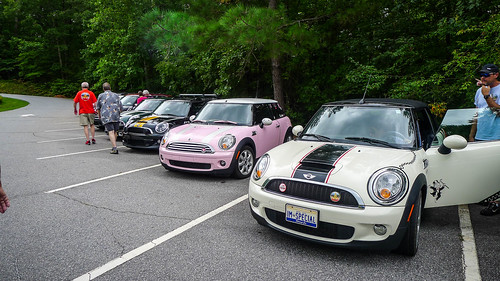
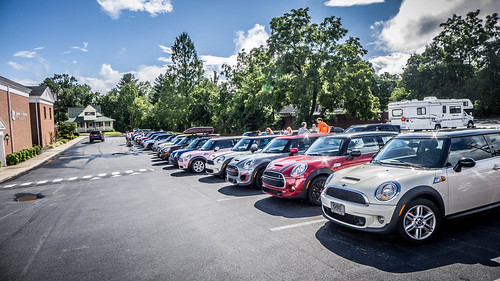
We rendezvoused with the group at the Target parking lot in Spartanburg. Even though we were early, there was already a huge crowd gathering. And they were expecting a large group. The Appalachian Mini Group would be joining us. There would be 40 vehicles, and 80 participants at this event.
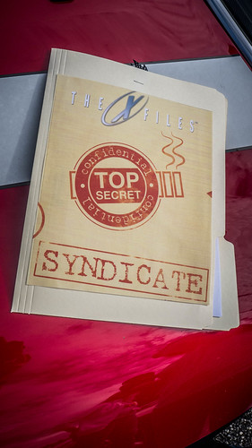
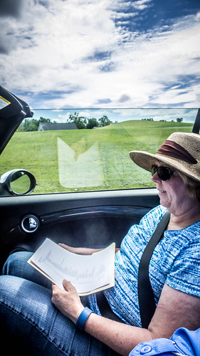
We checked in and received our top-secret folder with route info, an X-Files TV show quiz, and a nice bonus. Laura would be the navigator, so she reviewed the information carefully.
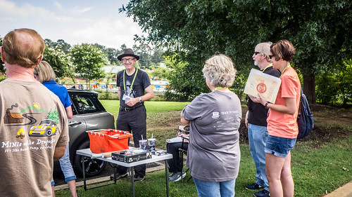
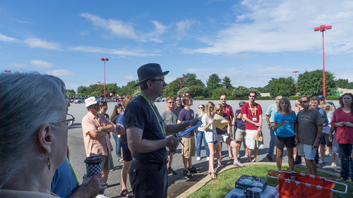
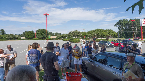
We had a driver’s meeting Bill Hightower, organizer of the tour, and made sure everyone had their radios set to the correct frequency.
We set off in two groups. The first group, led by Bill Hightower, would be taking a quicker pace. Jeff Goodman led our group, which would be taking a more…leisurely pace. As we pulled out we had an alarm go off on our car. We had to pull off and adjust the roof and trunk, but we got things situated correctly and caught up with our group with no problem.
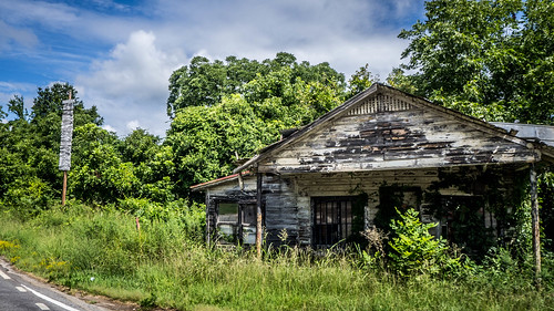
Our route was a zig-zag through Wellford, Holly Springs, and the western part of Spartanburg County. Laura kept track of the turn-by-turn instructions, combined with instructions relayed via radio. We even made it to Little Chicago.
Eventually we connected with Highway 14, then up to Scenic Highway 11 heading west. We continued on that route until we reached the Table Rock State Park Visitor’s Center. We stopped for a quick break and to meet up with the AMM group.
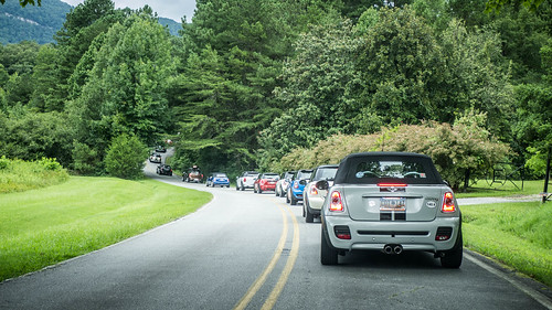
Soon we got underway. Apart from this initial shot of us leaving the park, I don’t have any photos from this part of the trek for several reasons. First, on the way out there was one car that seemed to be a bit timid about keeping up with us. A large gap had formed in the middle of our group because that car didn’t want to drive fast enough to keep up. We made sure we were closer to the front this time, and we were glad we did. That same car took a VERY leisurely pace, and didn’t keep up with the rest of the group at all. I’m sure the folks behind them were quite irritated.
We weren’t driving fast, but the driving was tricky, and I couldn’t pause for photos. From Highway 11 we turned onto US 178, which has some major twists and turns. Four of us in the front of the group stayed together quite well, but the others fell further and further behind. We continued up 178 through Rocky Bottom, then down the other side of the ridge into North Carolina and the town of Rosman. We paused until we caught sight of our wayward group, then proceeded on. We turned west onto US 64, then about a mile later turned north onto 215. Here’s where we ran into even more problems with our wayward friends.
Part of the problem was that the timid car didn’t have a radio. They couldn’t hear us instructing them to drive fast enough to keep everyone in view. To top it off, they missed the 215 turn and kept going on US 64. They led another non-radio car astray. One of our group took off to find them, which took time while the rest of us sat on the side of the road. After awhile we finally heard back over radio that they were on their way, so we continued on. We were supposed to arrive at PARI at 1:00 for a picnic, but got there just before 2:00. We had no time to eat before the tour was supposed to start. I think all of us were frustrated with that wayward car.
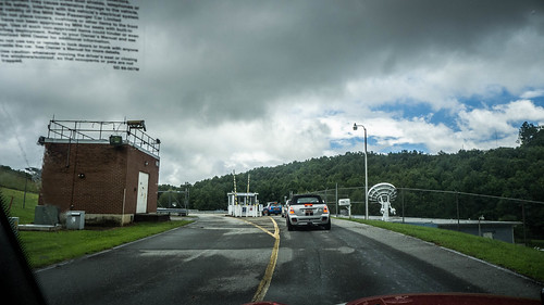
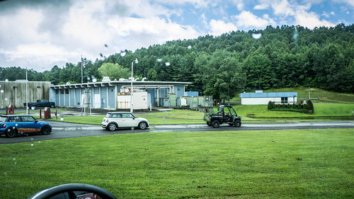
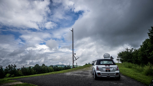
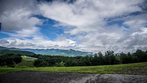
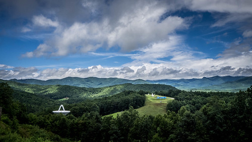
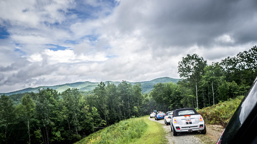
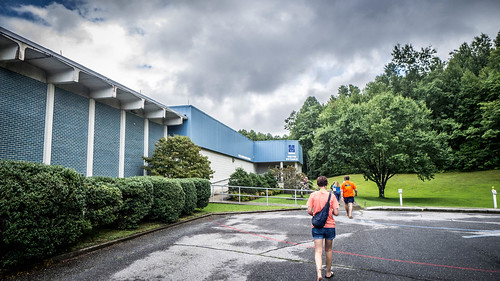
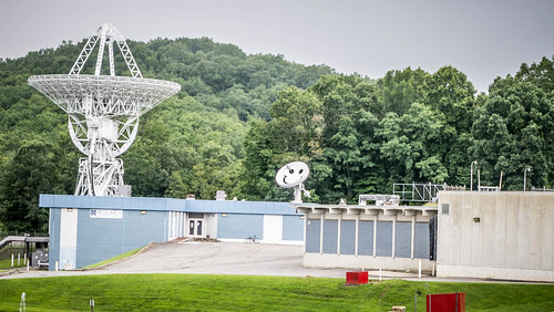
It had been raining slightly when we arrived at Table Rock, so we had put the top up on the convertible. The light rain continued until we got to PARI. We met with a security vehicle, which led us on a grand tour of the facility. We drove up and over a ridge where we had great views of the radio towers and surrounding countryside.
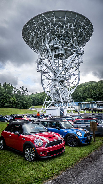
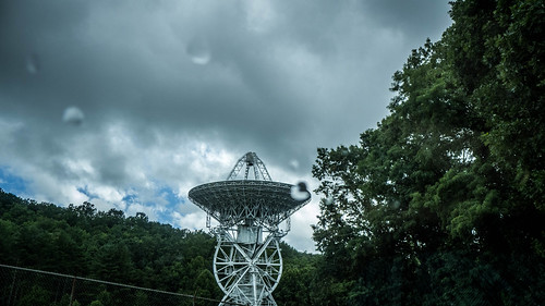
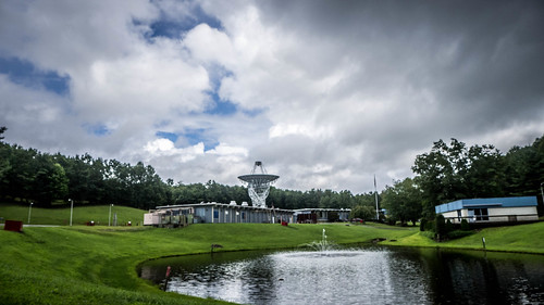
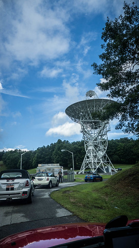
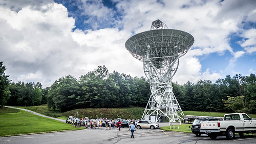
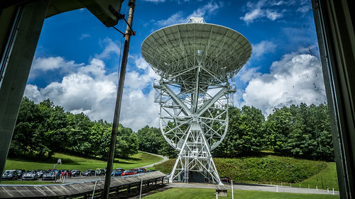
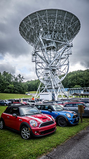
We pulled in and joined the rest of our crowd under a very large radio telescope antenna.
It was time for our tour of PARI. First, though, a bit of history…
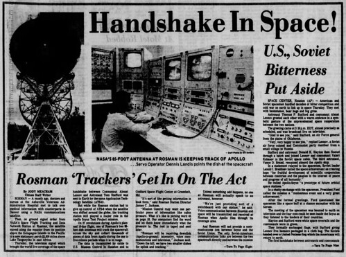
PARI started life as the Rosman Listening and Tracking Station for NASA in 1963. It played a crucial role tracking spacecraft for the Gemini and Apollo missions, as well as communicating with satellites. The first satellite TV broadcast was relayed through the Rosman facility. Twin 85 ft dishes were built, referred to as 85 East and 85 West. The dishes were used independently – having two was for redundancy. Later these were renamed 26 East and West, changing from feet to meters.
In 1981 the Department of Defense took over the facility, and it became part of the the Cold War effort to collect data on Soviet systems and listen in to Russian satellites. The instrumentation was classified, and the facility was marked as Top Secret. One of the smaller radio telescopes was painted with a smiley face that would show up when Soviet satellites tried to image the facility.
In 1995 the facility was closed and the land was turned over to the National Forest Service. The intent was to let it slowly decay and return to forest land. A Greensboro resident, Don Cline, recognized the value of the site for education and set up the non-profit Pisgah Astronomy Research Institute. The site was purchased in 1999, and the equipment was refurbished and retasked toward research and education. Several local universities participate in research activities, including Furman. One of Laura’s colleagues, Dr. David Moffatt, has been instrumental in setting up the facilities for PARI.
…and that brings us back to today’s visit.
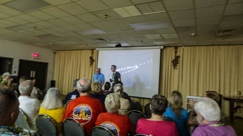
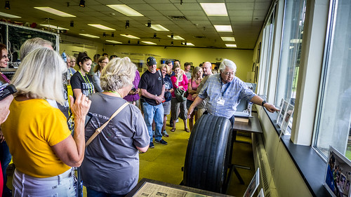
We gathered in a large room and were given an introduction to the facility, then shown a short video detailing the institute’s history and current mission. One thing that the video pointed out was that the facility is now set up for remote operation. Students, instructors, and researchers can control the dishes and receive data from just about anywhere. After completing in workshops or classes at the institute, participants receive a login that lets them schedule observation time.
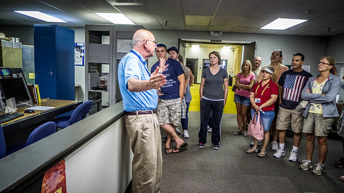
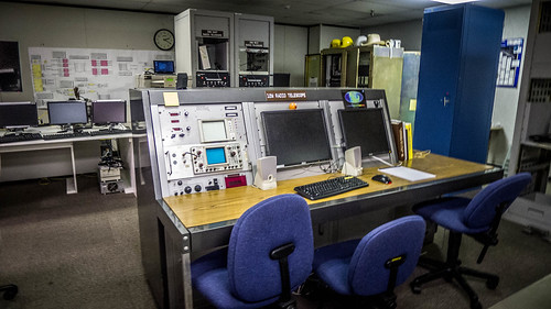
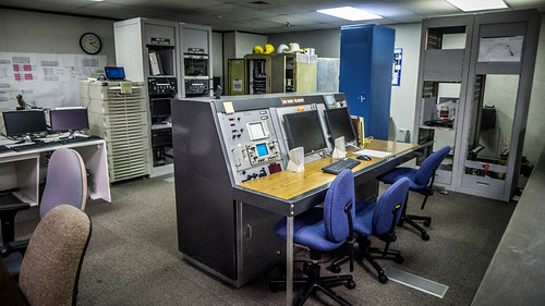
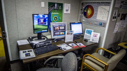
Our large group was divided into three smaller groups. Alex Alexander showed us the control systems for the large antennae, 26 East and 26 West. He also described how the programming and capabilities of the antennae had changed according to the mission. During the NASA missions the dishes had to slew very quickly in order to track the orbiting craft traveling at great speeds. With the DOD, quick movement was not as necessary. For astronomical research, the dishes needed even greater focus for distant objects. Each of these mission changes required programming changes and updates, some of which was carried out by undergraduate students. The control room had a distinct 1960s vibe, despite having new LCD monitors and somewhat newer computers.
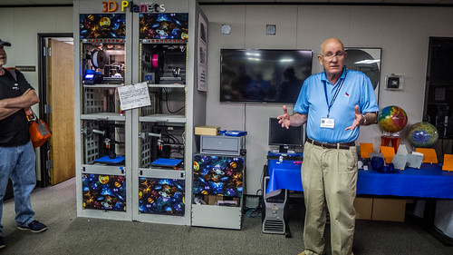
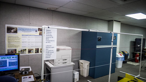
Alex also showed us some of the other projects that were underway. There are various smaller antennae scatter all over the property for different projects. The institute has also gotten involved with 3D printing.
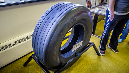
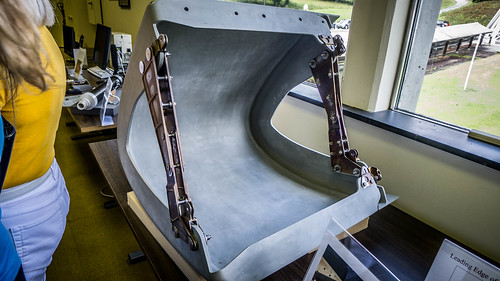
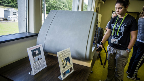
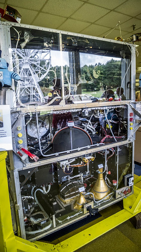
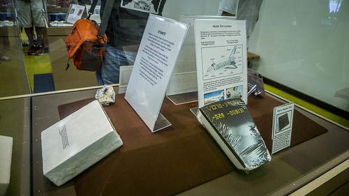
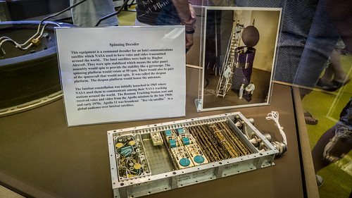
We were escorted to another room that serves as a gallery for material from past NASA missions. On display were a tire and a leading wing edge from the space shuttle and components from earlier missions.
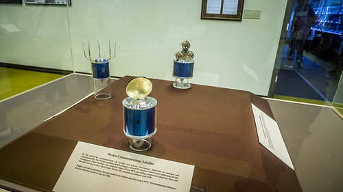
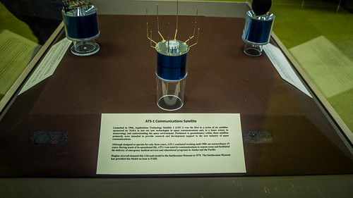
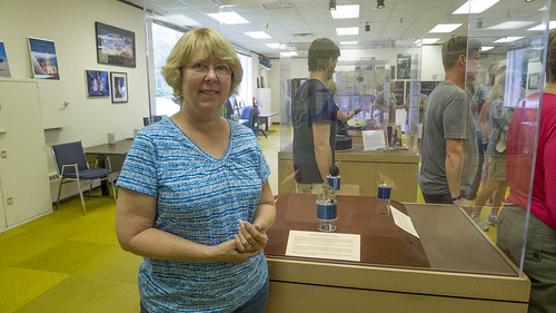
Of particular interest to Laura was a display with 1/24 scale models of three satellites. These were designed by Hughes Aircraft, and her father was part of the team that designed the satellites.
From the NASA gallery we had a great view of 26 East with all of the Minis parked around it.
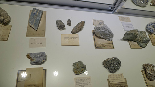
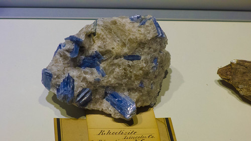
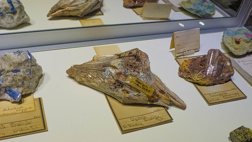
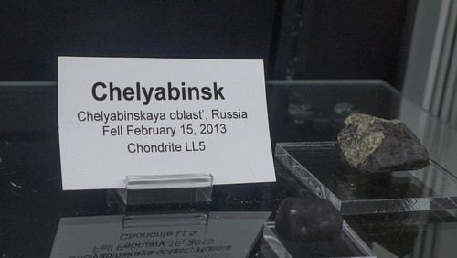
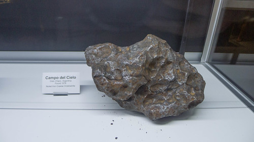
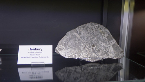
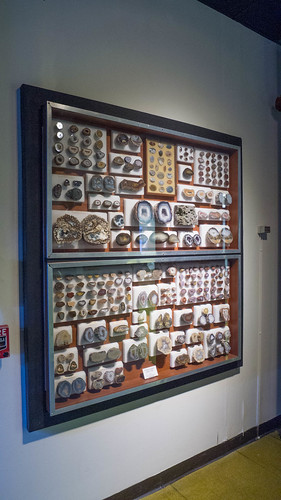
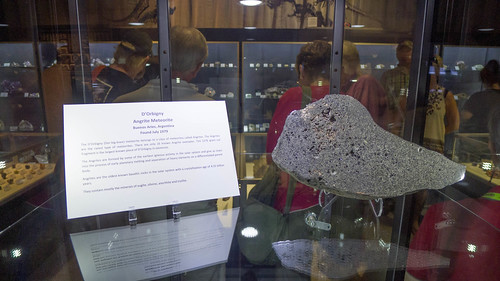
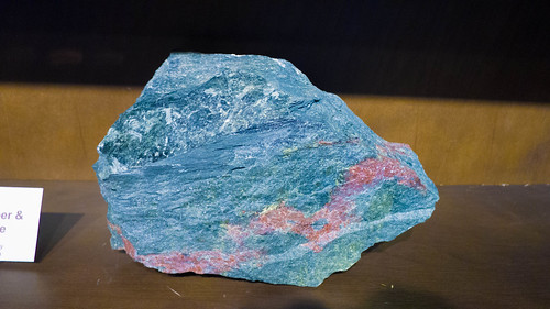
Our final tour stop was in the mineral gallery. There was an extensive collection of meteorites, as well as specimens from both the moon and Mars. There were also lots of terrestrial minerals, including a huge collection of geodes and minerals specific to the region.
Soon it was time for us to leave. As we were heading out I was able to get a shot of the smiley face antenna.
I tried to find a copy of the video we were shown online, but it doesn’t seem to be available. I was able to find this video from WCNC Charlotte about the site.
Before we left we were planning to pose for a mass photo in front of 26 East, but it started dumping rain. Instead, we rushed back to the cars. Laura and I were able to eat a late lunch while we waited for everyone to get back into formation. Soon enough we were headed back out.
This time we were right behind Jeff Goodman, our Group 2 leader. There was no way I was going to get separated or lost. That wouldn’t have happened anyway, as I knew the route very well. Regardless, we took a quick pace north on 215 through the community of Balsam Grove, then on up to the Blue Ridge Parkway. From there we headed east. All along the route our group turned heads as that huge number of Minis passed by.
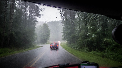
This was a drive, pure and simple. There was no pulling over at overlooks to see the sights. For that reason I don’t have any shots of that part of the trip. I didn’t even bother with the GoPro because the off and on rain would have made photography through the windshield pointless. Others did take photos, though, so I swiped a couple from the Facebook Upstate Minis page. Here’s one by Rosalyn Ward Western:

Here are a couple of the minis on the Parkway taken by Audrey Rose:


We left the Parkway at US 276 and headed south through Pisgah National Forest. Finally we made it down to Brevard, where our group invaded two restaurants in town for dinner.
Bill Hightower got this shot of us at Jordan Street Cafe with new friends Luis and Gloria Gonzales:

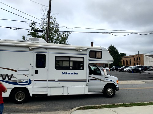
As we were walking back to our cars we spotted an imposter. A Winnebago with the name “Minnie” had been parked with our group.
With dinner completed we had one more stop. The plan was to drive up to Sassafras Mountain to watch the sunset. However, radar indicated more storm cells approaching. Some of the group opted out, but most of us continued on.
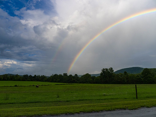
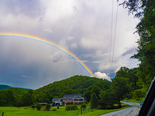
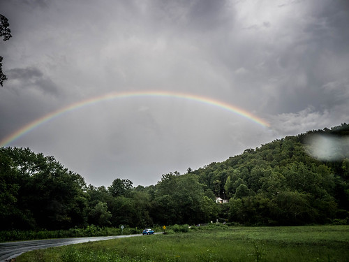
Our route took us west on US 64, headed back toward Rosman. However, before reaching Rosman we turned onto rural roads that would take us to Sassafras the back way. Our route took us past the wedding venue for our niece Lauren’s wedding back in 2013. Along the way, though, we were treated to a spectacular complete double rainbow.
We reached the overlook for Sassafras just as another deluge hit. This time there was booming thunder and lightning. Even though we missed a sunset, perhaps a storm on a mountaintop was more appropriate for an X-Files themed event.
Speaking of X-Files, all along the trip Laura and I had been working on the quiz. When we got to Sassafras we all sat in our cars in the rain as Bill read the answers over the radio and we checked our work. There was a tie for the winner spot at 30 points. Laura and I tied with another group for second place at 17 points. Bill braved the weather long enough to step out and get a shot of the cars in the rain on Sassafras.

We made our way back home slowly. It was dumping the entire time, and we were worn out. We spotted some of our group along the way home, and it was nice to chat and check in with them via radio as we drove. I realized that the FRS radios were an absolute necessity. If you’re going to go on one of these trips, you MUST have one. It would have avoided some of the problems we had early on during run.
It had been a great day, despite the rain. Bill and Mary Lou Hightower had done a spectacular job putting together the expedition, and I greatly appreciate their hard work. More importantly, Laura had a good time, and I think we’ll be doing more of these.


My family and I were fishing in Santee approx.45 years ago and saw a large object in the sky that looked like the moon only it looked huge and really close. The longer we watched, the bigger and thinner it got. I was just wondering if anyone else reported any sighting such as this around that time. I was very young at the time so I am just guessing about the time. If you have had other people speak of this or know what it was we saw it would be great to hear from you. Thank you, Marie Alexander