The Current be with you.
And also with you.
May the waters of the Ashepoo, Combahee, and Edisto flow over you and bless you…
I’ve mentioned before how our Lowcountry Unfiltered core group tends to consist of guys with names of the disciples. On this latest trip to the Edisto River we noticed other religious aspects. While not a defined liturgy, we do have our own order of service, dictated by the nature of the paddling venue. There is The Gathering then The Launch. Instead of wine and wafers we take communion with beer and brats, and our preferred method of baptism is via rope swing. What happens in between tends to be more free-form Charismatic than Episcopal, with a touch of Calvinism thrown in for good measure.
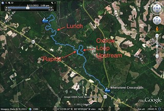
On this particular Second Saturday we decided to try a new section of the Edisto. Our put-in would be at Zigzag Landing, near the town of Branchville, and our take-out would be eight miles downstream at Whetstone Crossroads. In Google Earth the section appeared to be fairly remote, with some interesting oxbows for side trips.
Early Saturday morning I picked up Alan and we headed southward with boats and gear in my truck. Last trip it had dumped rain on us. This time I had packed a bit more gear – a cheap poncho and a tarp and cord that could be fashioned a makeshift shelter if necessary. The weather looked iffy for today, too, and I wanted to be prepared.
We left the interstate at Orangeburg and drove across country – down through Rowesville and Branchville toward our rendezvous at Whetstone Crossroads. It looked like there were some interesting places to stop and take photos, but we were a bit behind schedule.
Of course, we shouldn’t have worried. The LCU guys are always fashionably late, and even though we arrived 30 minutes past our published time, only John Nelson was there to greet us.
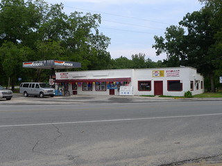
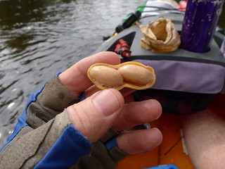
We wandered into Edisto River Grocery on one corner of the crossroads. This was a typical little country store with foodstuffs and fishing gear in equal parts. I picked up a couple of bags of boiled peanuts, which the proprietor said he had just boiled the evening before. He was a particularly chatty fellow, and talked about living on the river for 47 years (which, from context, I assumed to be his age.)
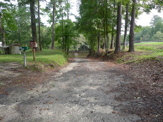
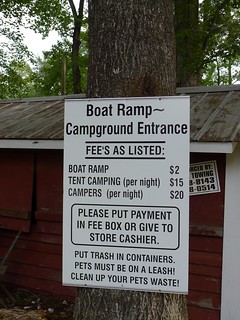
Turns out he also ran the boat ramp from which we would launch He charged $2 per boat, regardless of whether it was a kayak, canoe, john boat, or yacht. I decided to wander down to the river and check out the ramp while we waited for the others to arrive.
Soon enough the rest of the crew arrived. Matt, James, Lowcountry Alan, Jimmy, and newcomer Jarrett rounded out our group.
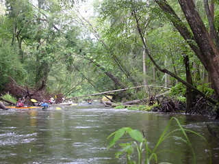
I went back inside to pay the ramp fee for our group. The owner warned me about some dangerous currents on the river. He said we would see a sign, and the channel narrowed, then dropped over a small brick ledge where there used to be a mill. The way he described it, it sounded like we would be going over a waterfall. He also said that the current swept under some downed trees, and that navigation was tricky. He’d had to rescue several paddlers from that stretch.
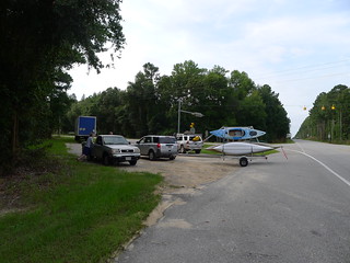
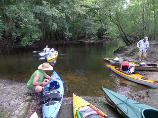
We left John’s truck at the take out, and drove the rest of the boats up to our put-in at Zigzag.
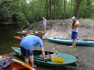
Zigzag Landing is similar to the landing at Green Pond. The landing itself is off the main stem of the river, on a series of oxbows and narrow channels. As we unloaded boats a local resident drove up asking if we had seen a golden lab. He said his dog loved to chase paddlers, and would follow us all the way down to Whetstone if given half a chance. We said we would be on the lookout for him.
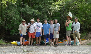
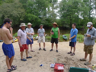
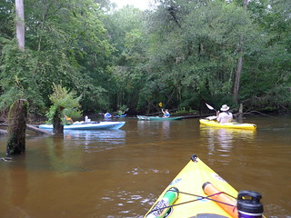
The water was low, and it almost looked like we would be launching into a mud puddle. Some of the group were skeptical. We posed for our group photo, then set out.
It was at this point that I made a disheartening discovery. I hadn’t brought either of my DSLRs. I didn’t want to bring along the new camera, and was wanting to keep things light(er), so I left the old D50 as well. I only had my waterproof camera and Lumix LX-5. What I discovered was that I had left the battery for my waterproof camera in the charger at home. I only had one functional camera with me, and it wasn’t waterproof.
The small channels proved to be tricky. At this level there was no way that a motorized boat would be able to get out. We scraped over several strainers, and found ourselves at a choke point as one oxbow opened into another oxbow.
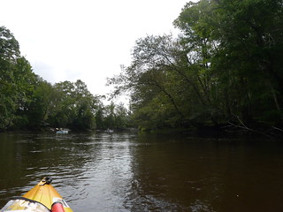
Despite the narrow channel, we made it through. This second oxbow was a bit wider. There was still no current, since we weren’t out on the river proper. The wideness faded, though, and very soon we were looking at another narrow choke point. However, this time we could see current ripping past the opening.
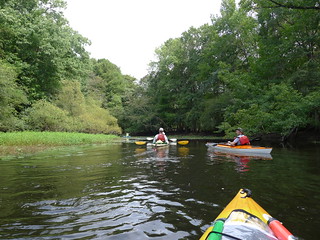
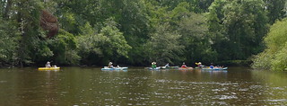
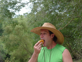
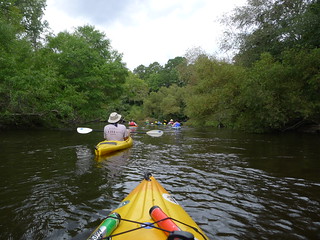
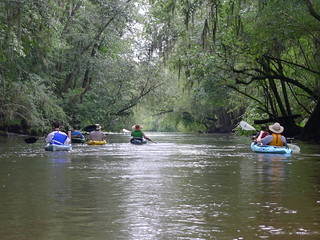
Out on the river proper we fell into a routine – paddle a bit, float a bit, have a sip of beer, then eat a boiled peanut or two. James had brought some of his famous homebrew to share, and it was excellent. The boiled peanuts we got at the little store turned out to be some of the best we’ve ever had – a near perfect balance between salt and peanut flavor. Some were declaring that we had found the source the world’s best boiled peanuts.
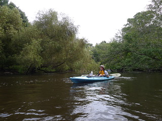
The river along this section seems a bit wilder. There are some houses and small camping areas, but they appeared to be much better kept than the ones we see along our usual stretches. The man with the dog was out on his deck, and we reported to him that we still hadn’t seen his lost dog. However, on around a bend we saw the dog playing in the water with some other folks out on the river. They said they knew the dog and would return him to his owner.
We continued floating until we got to a nice sandbar. We were missing two of our crew – Jarrett and John, and it was taking quite awhile for them to catch up. Turns out that the strong current had driven Jarrett into a tree, and he had trouble recovering. He also lost his radio, so we couldn’t contact him. They did catch up with us, though, as we waited in the chilly water.
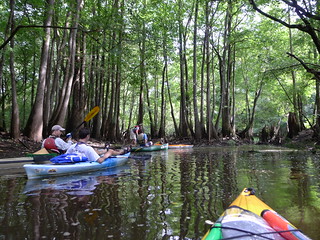
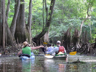
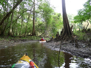
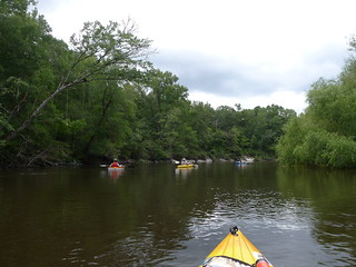
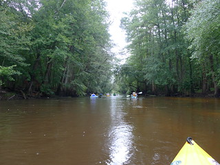
The current was strong, and the close cypress trees did give this stretch a wilder feel. I had points marked on both my GPS and on the maps I was carrying. There were lots of tight bends, but there were also some sandy bluffs that loomed over the river.
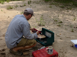
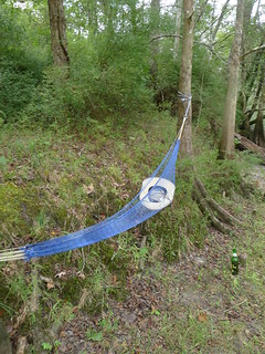
I knew roughly how far we had come, but I didn’t know what time it was. We reached a nice sandy beach, and Matt decided it was time for lunch. The clouds were building, and an early lunch would be better than a rain-soaked one like we had on the last trip. While Matt broke out his stoke, I pulled out my old string hammock and set it up between a couple of trees. While I was getting something from my boat, Jimmy commandeered it for a bit, and declared it very comfortable.
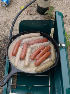
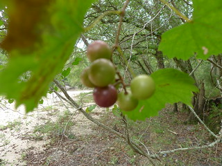
The hammock made a nice seat while I ate my brats, which turned out just as good as last time. This time, though, we remembered to bring sauerkraut. James had ordered four brats. He was going to eat three and use one for negotiation. Turns out the brats and beer are the true currency of the river. We also had a large harvest of muscadines hanging right over our lunch site, providing a great dessert.
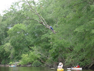
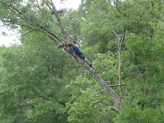
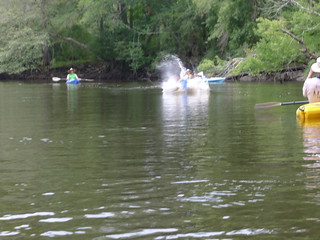
We loaded back up and got underway. We could hear thunder getting closer, but so far things were still clear. Just around the corner from our lunch stop we spotted a precarious rope swing. Jarrett was determined to give it a try. He was the only one of our group that decided to take such a risk right after lunch.
It got darker, and the river got wilder. Pretty soon we found ourselves in a deluge. I broke out my new poncho, but it didn’t help much. I think I would have been better off with my paddling jacket and spray skirt. At this point I put away my camera, not wanting to damage it in the pouring rain. I have absolutely no shots in the intense rain.
Our group got strung out a bit, and I was glad we had radios. Eventually the rain let up, and we found ourselves at the point where two oxbows branch off right and left from the main stretch of the river. It was here that the dangerous currents and rapid were supposed to be found.
We found the brick wall the store owner had described. The rapid itself was probably a Class 0.4 – basically a few ripples. There was no waterfall. However, the current was, indeed tricky, and would push you into some downed limbs if you weren’t careful. We all made it through, though.
After a quick narrow channel we found ourselves at the point where the oxbows return to the river. We decided to take the northern route back upstream and run the little rapid again. We found ourselves on a torturous route, fighting a strong current, and having to bump over and negotiate lots of obstructions. I was beginning to wonder if it was worth it, since it was such a long way around.
We eventually made it back to the top of the “rapid”, and ran it again. I was the last through, and decided I wanted to try to surf it a bit. I paddled back upstream, but the current was stronger than I thought, and my Pungo isn’t appropriate for surfing. I found myself spending a few panicky minutes watching water rush over my bow and trying not to get swept under a downed tree until Alan paddled up and stabilized my boat. From there I was able to back my way into an eddy and regain control. Just goes to show what happens when you get cocky, even on a nothing of a rapid.
We really liked the next stretch of the river. Huge cypress hang over the banks, and the scenery was spectacular. I felt confident pulling my camera out for a couple more shots.
This didn’t last long, though. The deluge returned. We kept a wary eye open for lightening, ready to pull out should it get closer. However, the rain itself was enough of a problem. All of us were thoroughly soaked, in spike of ponchos or anything other type of rain gear.
The last few miles are an almost straight shot down to Whetstone Landing. We paddled mostly in silence for the last little bit as the rain washed over us. It started to taper off as we finally reached the Highway 21 bridge. Still, I lingered under the bridge for a bit before pulling out, thankful for a respite from the rain.
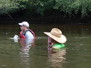
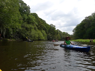
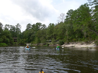
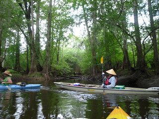
Despite the rain, it was a good trip, and we really like this stretch of river. The entire run was only 7.37 miles, according to the GPS, even with the loop back to run the rapid again. I’d love to re-run this section – preferably with lots of sunshine and no chance of rain. Here’s the rest of my photos…



DEFINITELY worth another trip–hopefully without rain