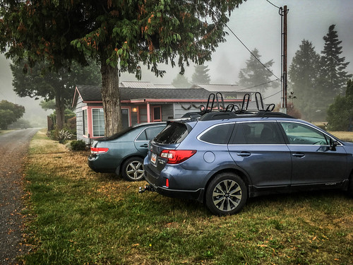
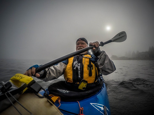
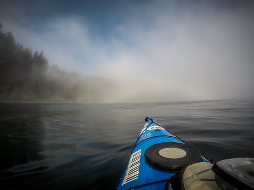
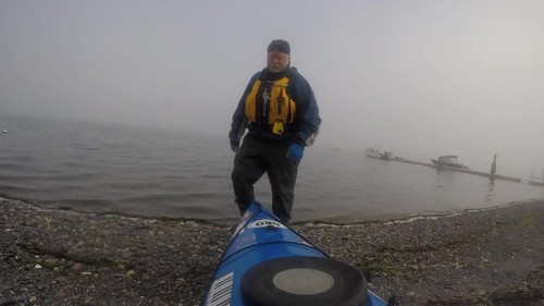
I mentioned this in a previous post. Kayaking at Samish island can be tricky. Tide and weather have to be in agreement. Tuesday morning the tides were perfect, with high tide at 11:30 am. However, the weather wasn’t so great. A heavy fog had rolled in. I was seeing patches of blue overhead and knew that it would burn off eventually, so I loaded up the boat and headed over to Duff’s beach cabin for a foggy paddling trip.
Duff’s place is just on the other side of the island. He came over and watched me load up the boat and get my gear ready and would have joined me if he hadn’t had other engagements that morning. I made the short drive over to find that Duff’s nephew was making use of the cabin.
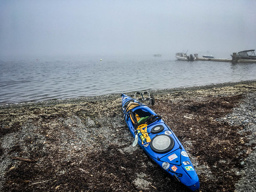
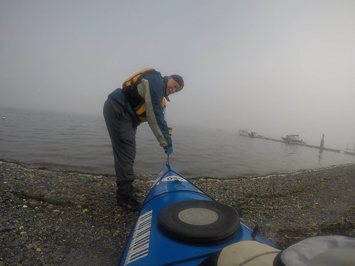
I parked the car and quietly unloaded so as not to disturb them and hauled my boat the short distance to the beach. It was about 9:30 and the tide was already pretty high. As long as I timed things right I would launch and land from the pebbled beach rather than the horrible mud flats further out. Even so, I still had to wade through a layer of eel grass that had washed up with the last high tide.
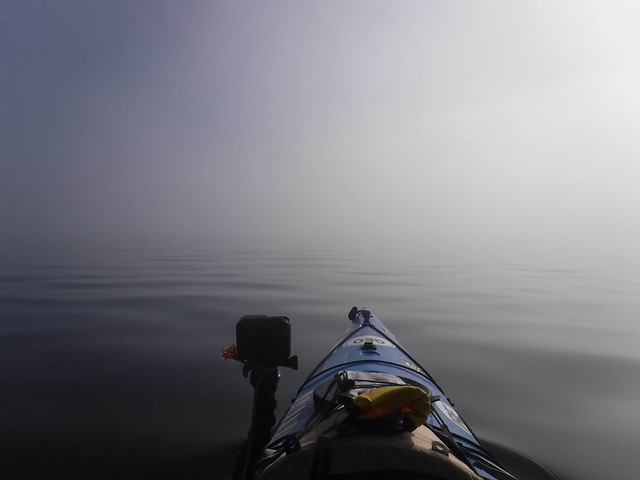
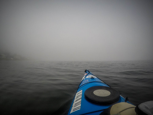
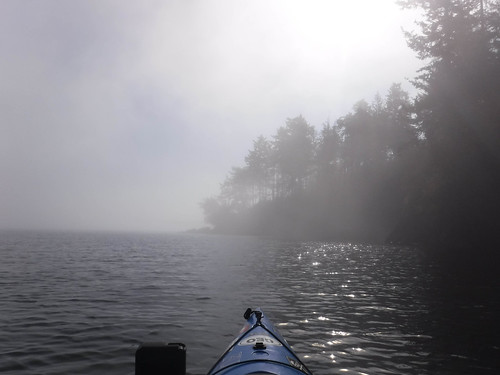
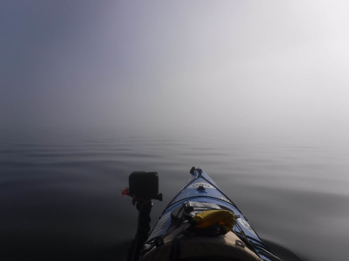
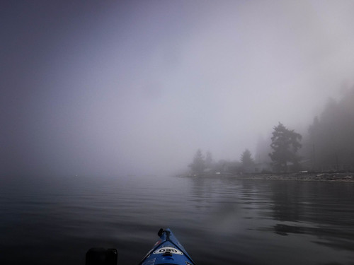
On this side of the island the fog was intense. I was glad I had appropriate paddling attire, as the water was cool and the breeze chilly. I had the bay to myself. Either no one else was foolish enough to be out, or I just couldn’t see them.
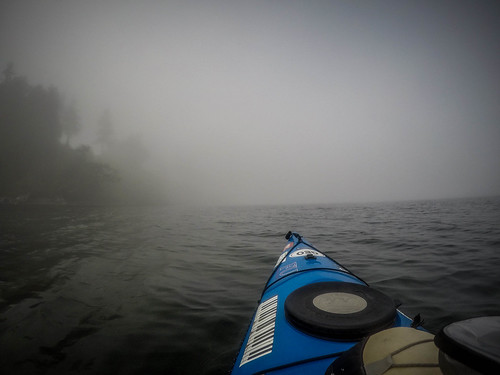
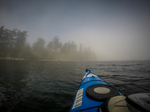
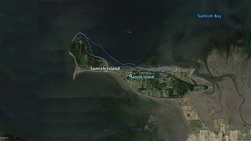
My plan was to try to paddle as far around the island to the west as I could. I hugged the shoreline without getting too close. I had to keep the island in view to my left. If I ventured out of sight I knew I’d get turned around and disoriented very quickly. I had a GPS and my phone, so I wasn’t too worried about getting lost, but I didn’t want to tempt fate. It was still pretty tricky.
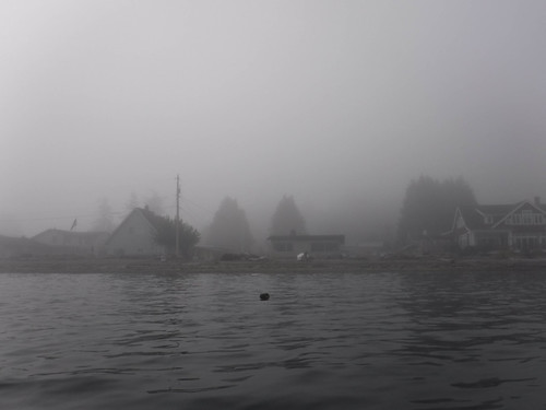
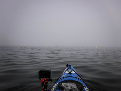
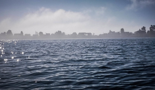
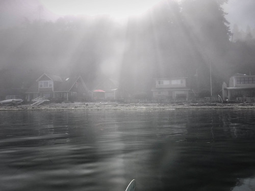
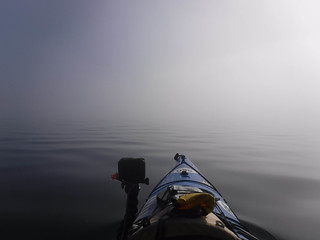
I could just barely make out the houses on the north side of the island. I had the GoPro doing a 10 second time lapse, but as it was running I was thinking that this would be the most boring series of kayaking photos ever.
Before long I made it to the narrow part of the island and paddled into the deep cove that divides the island roughly into two parts.
Samish Island is in two sections divided by a narrow neck. The eastern part has more houses, and that’s where we live. The narrow neck area once had a few businesses and a small chapel, and was about the closest thing to a “town” that the island had. The western part of the island is less populated. There are two camps a park with beach access. The very western edge has been purchased by some millionaire and sports a massive estate and house.
As I passed the park area I was entering new territory for me. Without the rows of houses along the banks it did have a much wilder feel. There were lots of large ducks with I later identified as a couple of different species of scotes. I wasn’t able to get any photos.
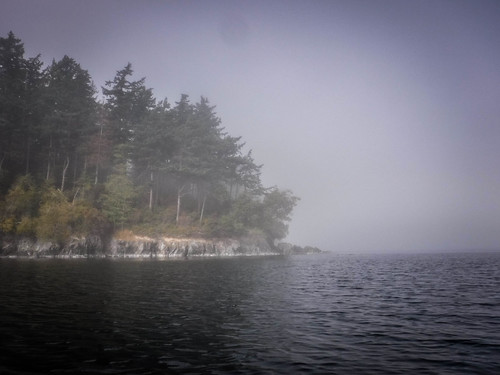
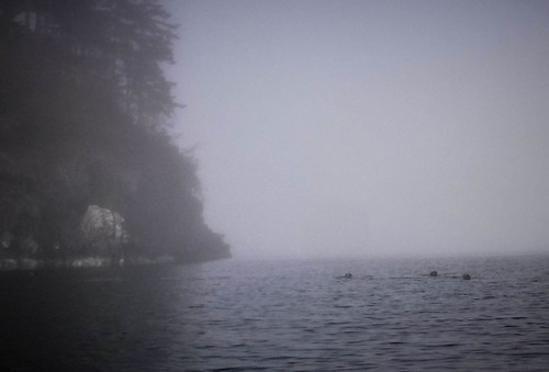
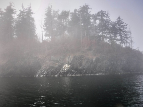
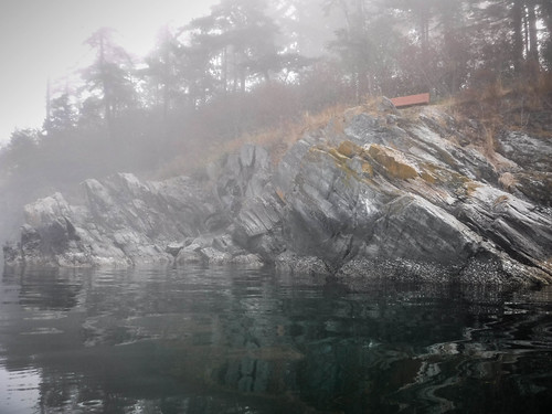
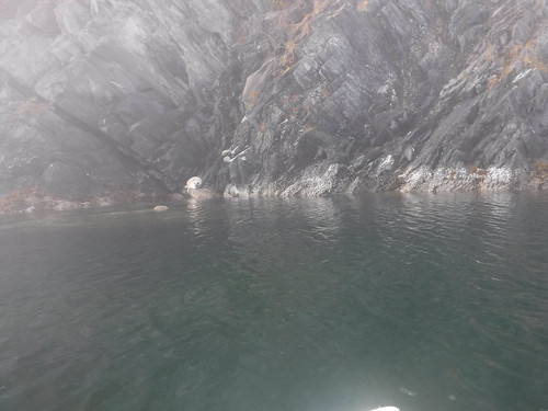
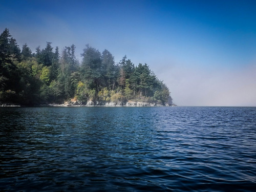
Point Williams is the northernmost tip of the island. The coast is rocky, similar to what I saw when I paddled Bellingham Bay last week. The fog was breaking up a bit and visibility was getting better. A family of five or six seals popped up in front of me, checking me out. I gave them a wide berth but kept paddling.
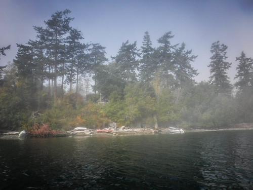
As I rounded the point the fog picked up. I could barely make out the huge house at the top of the hill. A steel walkway descended to a dock in a small cove. Looked like a nice place, but I couldn’t really tell.
I floated for a bit, enjoying the coffee I brought with me and debating my next move. I have paddled about three miles so far. I wanted to keep going and maybe even make it all the way around to our house. However, there was the tide to consider. Even if I started back right then the tide would change and I would have to paddle against it. I definitely did NOT want to trudge back across the mud fields. Once was more than enough. I decided to head back.
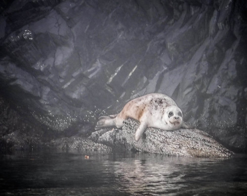
One of the seals that had taunted me earlier was now basking on the rocks, eyeing me warily.
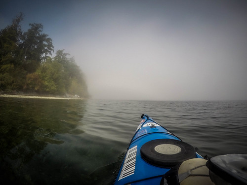
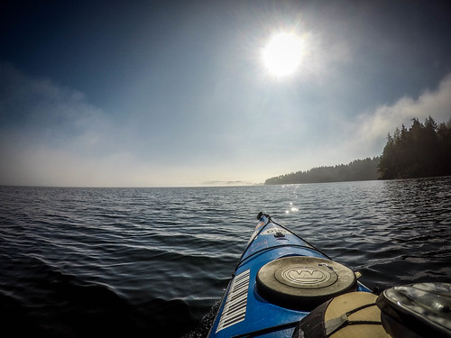
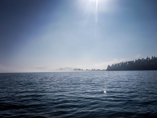
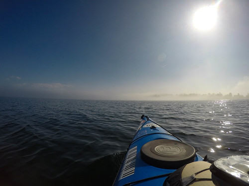
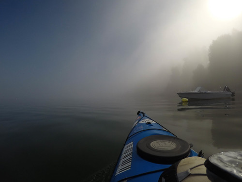
As I rounded Point Williams the sun broke through. I had entered a pocket of sunshine. All around me was fog and I could see a bank of mist across the cove. I started to get a bit warm and was wondering if I should take off my paddling jacket.
Since I had a good line of sight I paddled pretty much straight across the cove, not hugging the shore as I had earlier. Once again I was amazed at how the fog intensifies the sounds. I could hear the train along Chuckanut and the fog horns of tanker ships out near Lummi. Seagulls and other shore birds made their racket. There were still no small boats, so I was safe in these shallow waters for the time being.
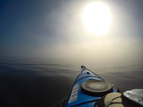
I was soon absorbed by the fog bank on the other side of the cove. Visibility dropped to almost nothing, except for where the sun was breaking through with a backlit haze.
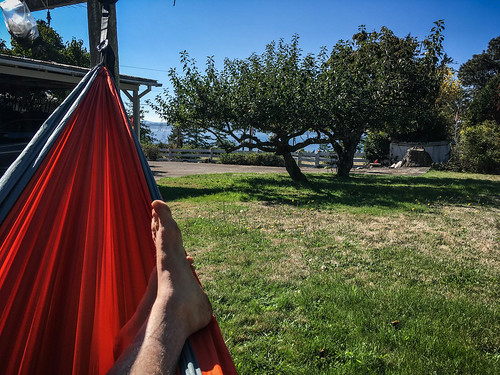
The tide had turned and I was starting to battle a bit of current. If I stopped paddling I slowly floated in the opposite direction. It wasn’t too bad, though. I made it back to my landing, finding the correct spot despite the fog. I loaded up the boat and headed home in time for lunch and an afternoon hammock nap.
I had paddled 5.87 miles.
Here’s the time-lapse video of the trip, which I have dubbed “The World’s Most Boring Paddling Time-Lapse”™.
I’ll definitely have to do this trek with the visibility improves.
