Alan had a list of places he wanted to explore. That’s always a good thing. I got an e-mail from him several weeks ago with an attached Google Map showing places in Western York County, including the communities of Smyrna, Sharon, and McConnells. Our schedules finally aligned so that we were able to go on our photo trek this past Saturday.
We got an early start and headed north on I-85, exiting above Blacksburg. We bypassed the town on SC 5. I had added one more stop to Alan’s map just on the other side of town, so that would be our first target. Actually, most of this first part was in Cherokee County, rather than York County.
Kings Creek Trestle
When exploring the Swamp Rabbit Railroad from Blacksburg to Gaffney I learned about the dramatic railroad trestle across King’s Creek. The railroad was part of the old CCC (Charleston, Columbia, Charlotte), later Southern Railroad. I had seen photos of the trestle, and it looked quite dramatic. Here’s one by Todd Sestero from a Rail Fan website:
The rails are long abandoned. The trestle in question is quite dramatic – 1,215 feet long and 96 feet above Kings Creek, according to the Carolina Rails website.
Sadly, though, try as we might we couldn’t get close enough for a decent photo. There was a mineral processing plant near one end of the trestle, but the access road was gated and marked No Trespassing. We tried weaving through country roads, but all seemed to veer away from the creek. I guess it might have been possible to hike along the railroad to the trestle, but that was more than we wanted to do on this expedition.
There was talk of turning the abandoned rails into a multi-use trail, similar to the Swamp Rabbit Trail in Greenville. Google Maps even has the “Triple C Rail Trail” listed from York to Kings Creek. There is a Facebook Page and a listing in Wikipedia. The Wikipedia entry states that, “…as of 4/18/15 all sections of this trail (except for the part shared by the paved York Bicycle Trail) are so overgrown as to be impassible. Also there is no signage of any kind signifying it exits at all.” If we had decided to walk, it would have been more of a bushwhack and taken much longer than we had planned.
Hopewell Presbyterian Church
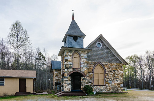
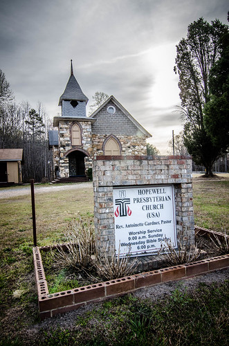
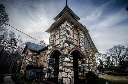
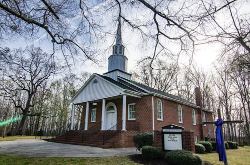
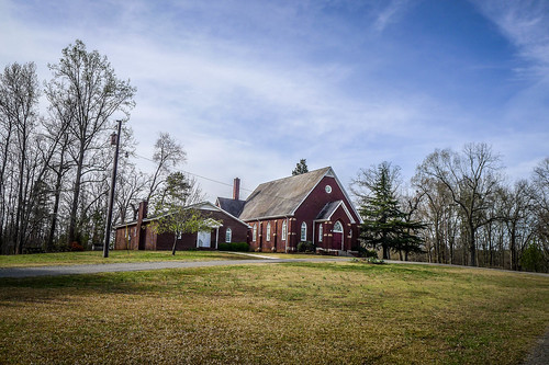
One of these side-road attempts brought us out at Hopewell Presbyterian Church on the main road. We had passed it earlier and made note of its unusual construction, but had kept going in favor of targets already on our map.
According to its listing on SCIWAY’s SC Picture Project, the church was first formed in 1855 as Shiloh Presbyterian. The congregation was dwindling, so the building was sold to a black congregation and renamed Hopewell Independent Church in 1890. Apparently someone didn’t like that decision, because the building was torched not long after the black congregation took possession.
The new owners were not deterred, though. They collected materials to build a new sanctuary, including field stones from local sources. In 1915 the new building was dedicated as Hopewell Presbyterian Church. The church is affiliated with the PCUSA.
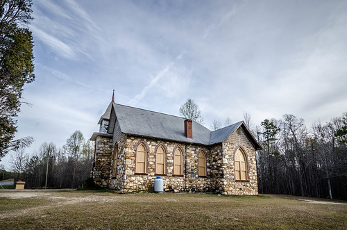
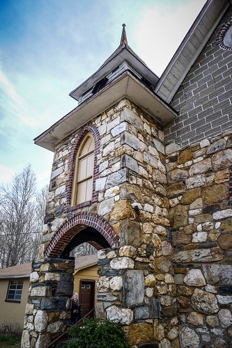
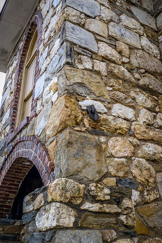
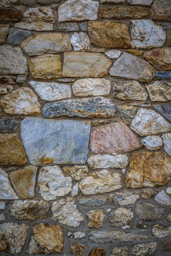
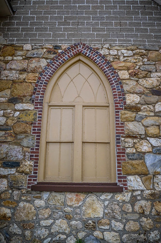
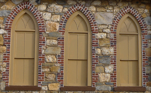
The hodgepodge of building materials and colors on the small Gothic structure is striking. Field stones make up most of the walls, but the arches over the entrance and windows are outlined in red brick. Gray concrete block fills in the gables.
Alan and I lamented the fact that they had chosen to paint over the Gothic arched windows.
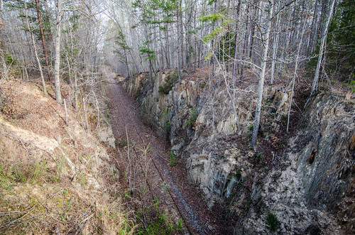
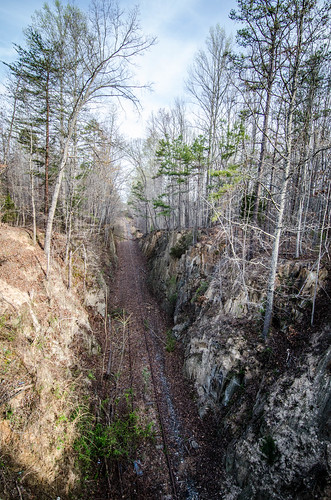
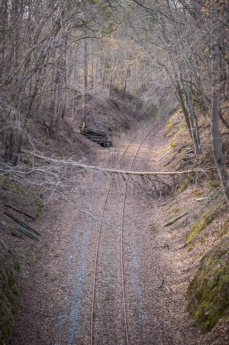
The CCC Railroad ran behind the church, and a bridge crossed the railroad on the side street. The geology was fairly dramatic. Once again with toyed with, then dismissed the idea of walking along the track to the trestle. From this point the hike would be a couple of miles.
We continued on our trek, crossing the border from Cherokee County into York County. The next stop was Canaan Methodist Church near Smyrna.
Canaan Methodist Church
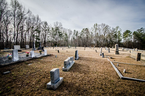
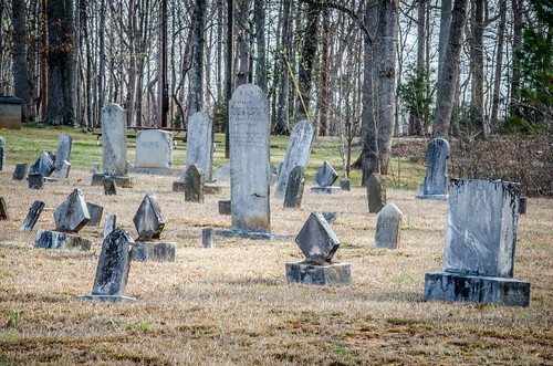
The location Alan had marked on the map for Canaan was off a bit, but was consistent with the location given by GNIS. When we arrived we found a relatively modern brick sanctuary with an old cemetery next to the church and a newer one across the street. The one across the street was obviously still active; a funeral tent was set up and a truck arrived with a vault for installation while we were there.
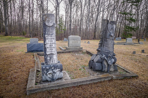
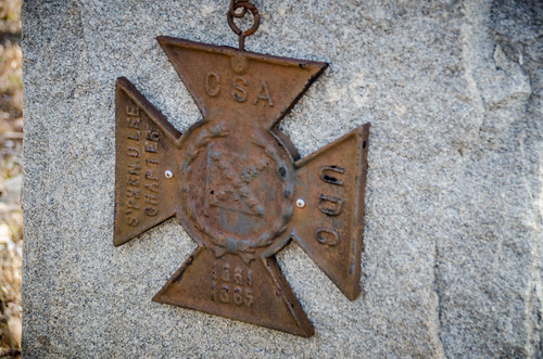
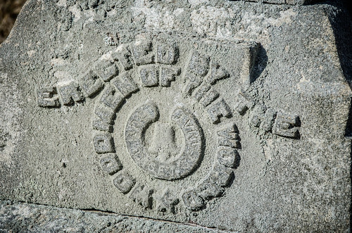
There were a couple of elaborate Woodmen of the World markers.
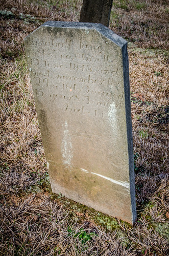
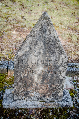
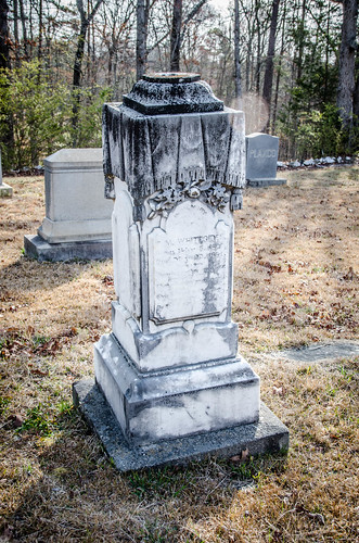
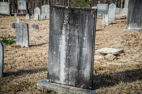
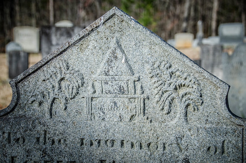
There were also some very old-styled stones that weren’t as old as the style might indicate. These were late 1800s, about the time obelisks and draped urns were growing in fashion.
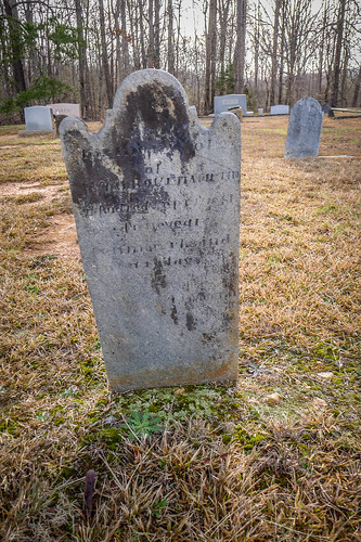
We found a couple that had been re-plastered and recarved. The newer plaster had begun to erode, and we found bits of it scattered around the stone.
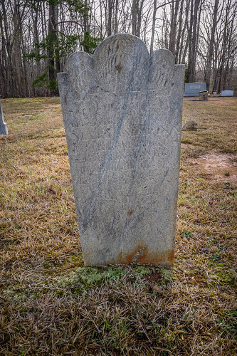
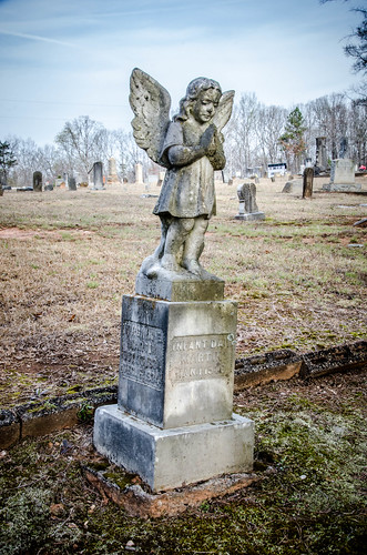
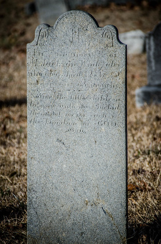
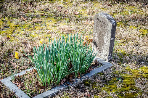
The diamond shape seemed to be popular, especially for children’s graves. We also found one angel.
We didn’t walk across to the newer cemetery because of the activity over there, but continued on our way. Further along Canaan Church Road, about where GNIS had the coordinates for the church, there was a small building with a sign indicating it was an independent church of some sort. Beyond that was a rather dubious public road that ran through a couple of back yards then came to a dead end at Mount Sinai Baptist Church, a black congregation. Even though these were close to the GNIS location, I don’t think either of these was the original location of Canaan Church. The age of the cemetery next to the current location makes me think that’s where the church has always been (at least for a very long time.)
Smyrna ARP Church
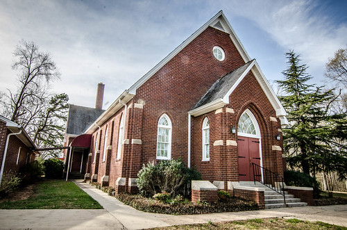
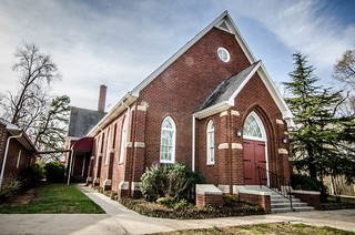
On the outskirts of the metropolis of Smyrna we turned right on West Main Street, away from town. Our next stop was Smyrna ARP Church. This was a small brick Gothic church which could have been a twin to McCarter Presbyterian in Greenville, where I worked for so long. I’ve actually seen probably five churches in the Upstate that use this same design. I’d love to learn more about it from an architectural standpoint.
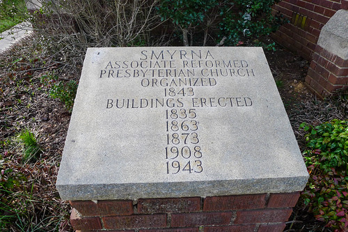
We found this particular marker in front of the church:
This immediately brought to mind the bit from Monty Python and the Holy Grail. “The first one sank into the swamp. The second one sank into the swamp. The third one fell over, burned down, then sank into the swamp…”
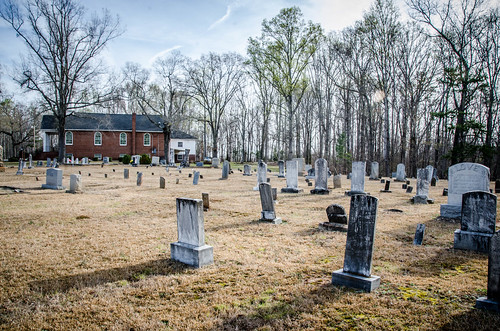
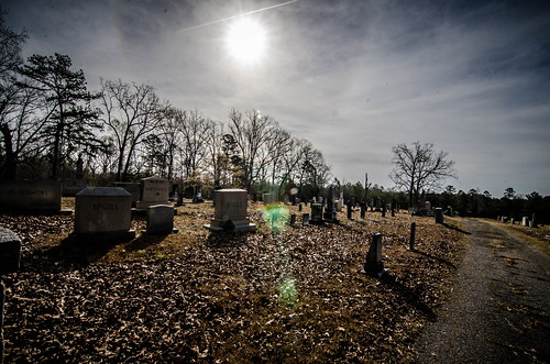
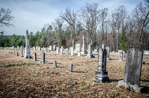
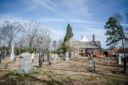
The cemetery behind the church was similar in style and age to the one we visited at Canaan.
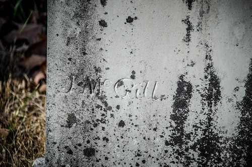
I found two unusual signature stones There was one signed J. McGill.
What made this weird was that it was in the midst of several McGill graves. This particular stone was for Andrew Jackson McGill. From what I could find on Find-a-Grave, it could be either James Henry McGill or Games Calvin McGill. Another interesting story there, I’m sure.
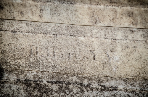
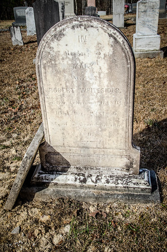
The other signature stone was on the grave of Mary Brown Whitesides. The signature was almost illegible in my photos and when we observed the stone. I could make out the initials YV, which I assumed to be Yorkville. The Find-a-grave photo for the stone was higher contrast, and I could read the name R. Hare.
We wandered a bit more before returning to the car.
Smyrna
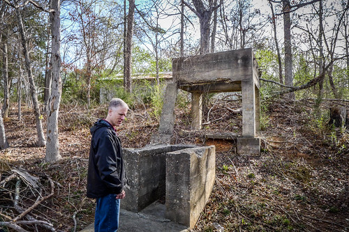
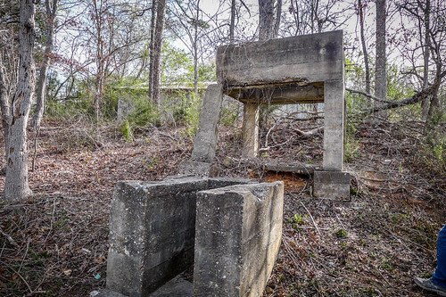
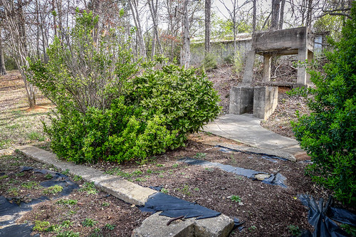
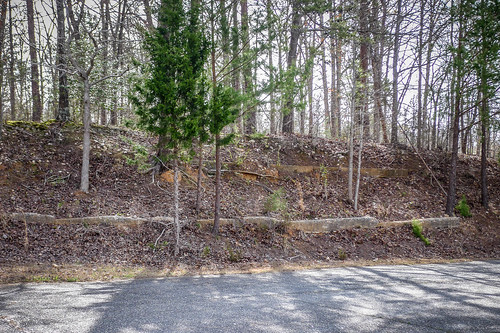
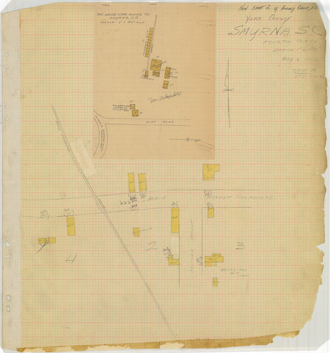
On the way to the ARP church we passed a park with an unusual structure. It’s obviously much, much older than the park. There were no clues as to its purpose, but it was intriguing. The 1932 Sanborn Map of Smyrna showed that a General Merchandise store and chicken house had been on this spot, but it still gave us no clues. That’s some serious concrete for a chicken house. Similar concrete construction ran through the bank bordering the parking lot for the park.
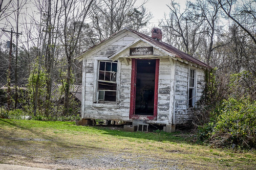
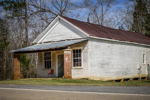
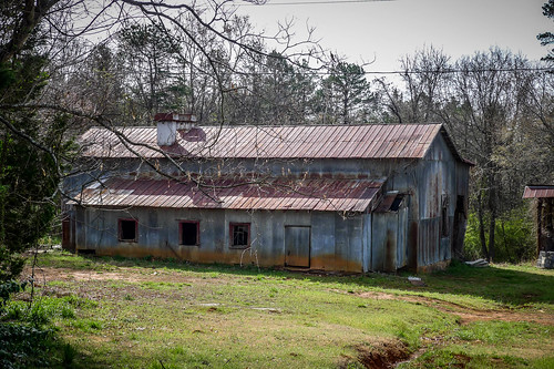
Smyrna sits in a corner of York County, right on the edge of the border with Cherokee County. The town, proper, is now just one store, a fire station, post office, and a few houses and outbuildings. A small building bears the sign “Smyrna Barber Shop.” It doesn’t look like it’s been used in ages. Behind the currently operating store is an old cotton gin and a building that had once been a grist mill. Across the street there was a former general store and the fire department.
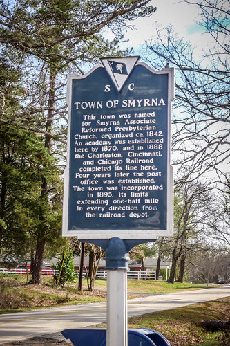
In front of the post office is a historical marker, which states that the town was named for the ARP church down the street.
According to SCIWAY’s SC Picture Project, Smyrna is the smallest incorporated town in the state. Wikipedia lists is total area as less than one square mile. The 1932 Sanborn Map shows that the town was tiny. It looks like there had been a depot or loading platform for the Triple C, but the map has a piece of tape over it, as if it were no longer extant by 1932.
What is shown is the is the White Star Mining operation. The map inset is out of context and not even oriented with the rest of the map. Gold was found in the area in the late 1800s. Martin Gold Mine Road is just beyond Smyrna ARP to the west and GNIS lists a Dixon Gold Mine a couple of miles to the north across the border into Cherokee County.
As small as Smyrna is, I have to wonder about its distinction as SC’s smallest town. I think about places like Owings and Chappels, which are about as small. I think it has more to do with the fact that it’s the smallest incorporated town in the state. Those other two communities are not incorporated, and I don’t think they even have a post office. I know Owings does not.
Apart from our stop at the churchyards, our time in Smyrna was proportional to its size. We continued on our trek, roughly following the Triple C Railroad. More to come in the next post.
Thank you for filling in some details, as usual. I appreciate your efforts! Thanks for a great day!