Wednesday, July 30, 2014
Looking back over our maps, brochures, and travel plans, Laura was in a bit of a panic, or, at least, in a state of disappointment. By turning off of Highway 101 early we had missed the “Avenue of the Giants” redwoods corridor. I looked at the maps a bit more, and it looked like all we had missed was a highly commercialized stretch of redwoods. This included another drive-through-tree (been there, done that) and the “Trees of Mystery,” a strange fun house sort of place. There was the Humboldt Redwood State Park, but there was also a gauntlet of campgrounds, old style motels and gift shops.
Our target was further on. Highway 101 bears the designation “Redwood Highway,” and the stretch north of Eureka runs through Redwoods National Park. That seemed much more appealing. First, however, we wanted to check out Eureka, and we wanted some breakfast.
Eureka is the largest town we had visited since leaving San Francisco. As we drove in last night we had noticed some neat architecture, similar to what we had seen in Ferndale. There were a couple of local maps and brochures in the hotel, and we had spotted that there was an “Old Town” district with shops and things, and a driving tour highlighting unique architecture.
Our first target was the Old Town section. There was certainly some unique architecture, and it looked like there were some cool shops that would open later in the morning. However, everything had a seedy quality to it that made Laura uneasy. Perhaps when there was more activity things would improve, but not right now.
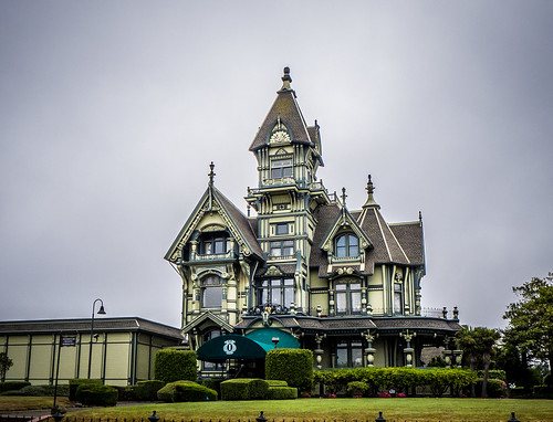
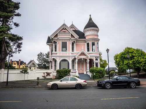
At the end of one street was the old Carson Mansion. This was the home of a lumber/railroad baron, and now serves as a private club. The Victorian architecture was over the top and absolutely stunning. However, the smaller house across from it was no less impressive.
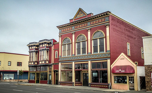
We decided to opt for breakfast, then possibly take the driving tour through some of the other areas. What we found was possibly the slowest Denny’s on the face of the planet. It took far too long to get coffee and a simple plate of eggs and bacon. Watching some of the interactions between other patrons we got a sour feel for Eureka, and decided to head out of town as soon as we finished eating. We also decided from here on out we would be Denny-skipping. At least there was one more cool building across the street from the restaurant.
We headed north out of town. Highway 101 skirted Humboldt Bay for a bit, ran through a couple of bedroom communities, then took to the coast. Things were still quite foggy, and views at the overlooks were starting to look the same.
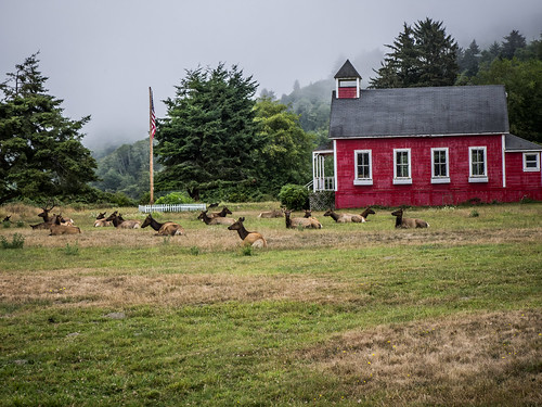
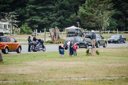
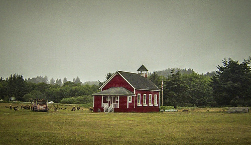
About 30 miles north of town Laura spotted a sign for elk crossing, and wondered if we might see any. Just a mile or so beyond the sign the road passed by an open field next to an old red school house. The field was covered with Roosevelt Elk. There were also lots of cars pulled into the adjoining campground to take photos. We decided to join them and check it out.
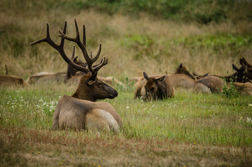
From what we could see, there was one large buck, but mostly females and a few immature bucks.
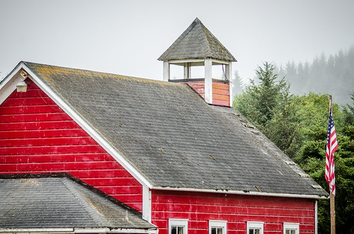
The old school was the “Stone Lagoon School” from the late 1800’s. I would have loved to have gotten a closer shot, but that wasn’t possible with the elk so close to the building.
Crowds were gathering, and it looked like someone could really use our parking spot, so we decided to continue our travels. Soon we were entering the Redwoods National Park, proper. We pulled into the visitors center long enough to get detailed maps and look at displays. From there we drove through the coastal community of Orick, then turn onto Bald Hills Road, which would take us through the heart of the park.
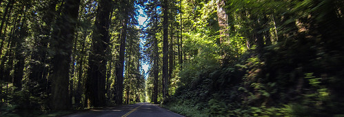
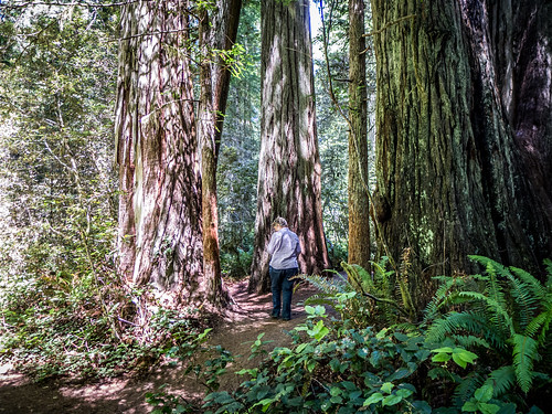
The road followed a few switchbacks as it ascended the ridge, taking us deep into the forest. The trees were larger than any we had seen so far.
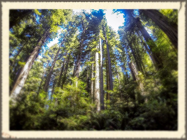
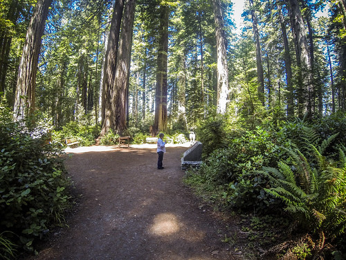
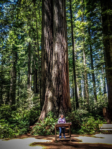
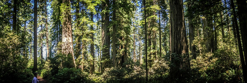
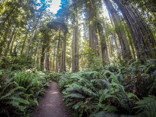
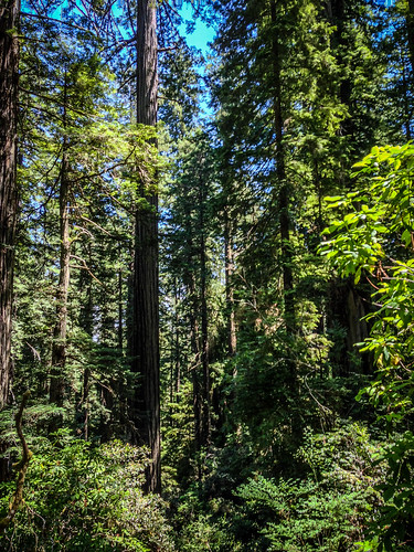
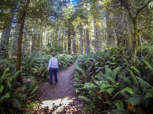
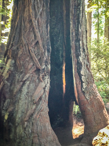
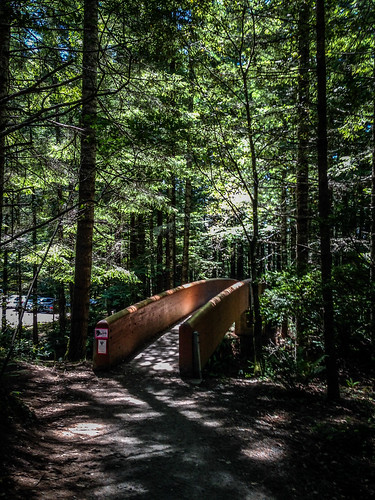
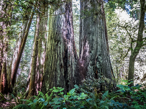
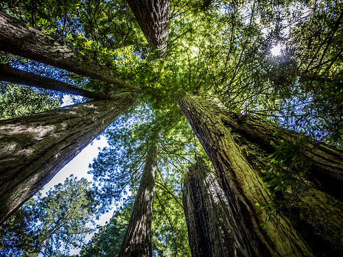
Our goal was the Ladybird Johnson Grove. Here we found a parking area with a short hike through the forest. There were lots of cars, and it was a busy place, but it never felt crowded. We wandered among the redwood giants. There is now way possible to convey the size of these trees in a photograph.
This was much, much better than the madness of a drive-through tree or any other tourist trap. It was peaceful and we wanted to linger. I did manage to take a 360º selfie using the GoPro and my monopod.
Actually, I did several of these, which are available on my Flickr stream.
The nature trail was a little over a mile. I took tons of photos along the way with every camera I had available.
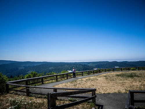
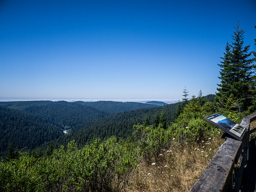
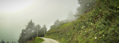
Back at the car we continued on up Bald Hills Road. There was an overlook showing the valley. We could have seen the ocean if it hadn’t been for the fog bank.
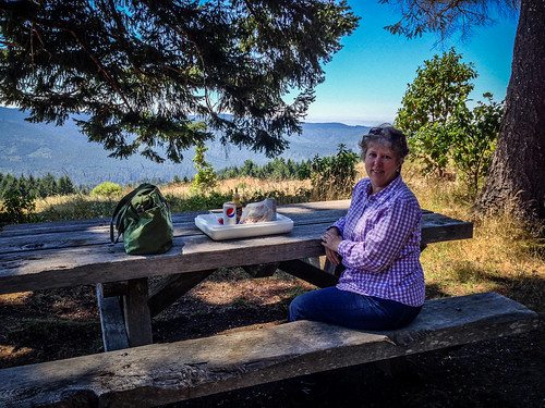
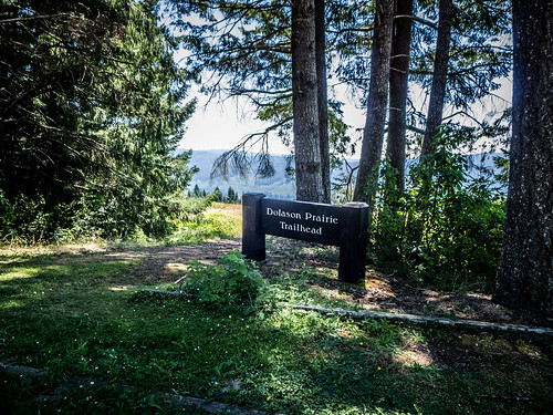
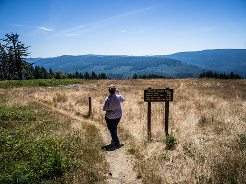
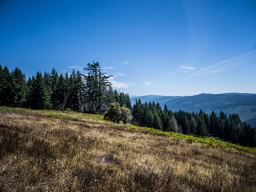
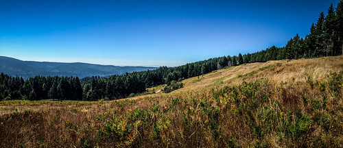
Just beyond that was a turnout for the Dolason Prairie. There was a shaded picnic table with an overview of a beautiful grassy hill. Seemed like a perfect place for a picnic.
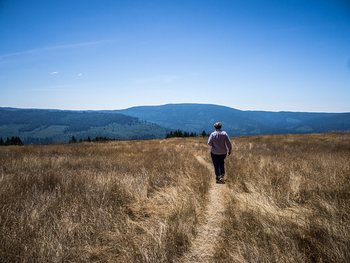
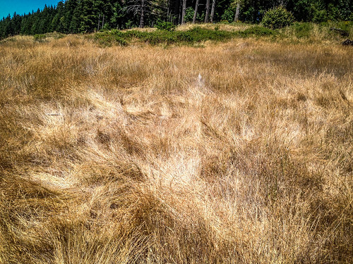
We decided to walk out onto the prairie along the trail for a bit. The trail descended through the grasses, and down deeper into the valley. We only walked out a few hundred yards. At one point it looked like the grass had been compressed, as if elk or some other large animal had lounged there.
We backtracked down the hill to Highway 101. As we headed north along the valley floor we kept our eyes open for more elk. There was one viewing spot where we turned in, but it apparently was the wrong time of day. Soon we reached the turn-off for an alternate scenic route, and decided to take it. The route lead through incredible redwood groves. There were multiple turn-outs and trails, but we didn’t stop to walk through more trees.
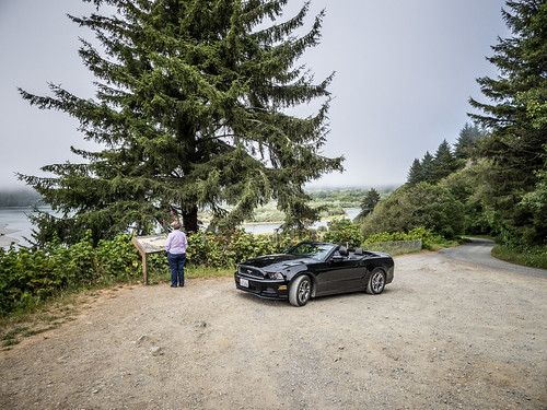
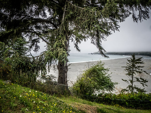
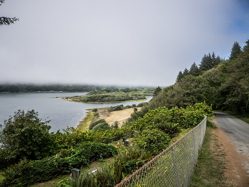
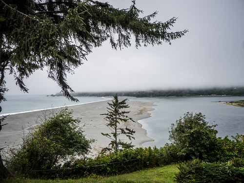
Soon we found ourselves at the Klamath River. We turned toward the coast on a smaller road, hoping to reach the beach and more overlooks. The road started out OK, but when we reached the coast it turned into a narrow, single-lane dirt road.
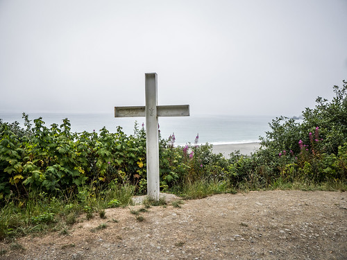
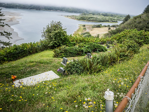
Eventually the road took us down to the mount of the Klamath River. There was an overlook with a cross, and below us was a small cemetery.
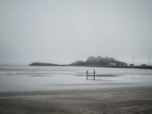
We made our way back to Highway 101 and crossed the Klamath. Continuing along the coast we reached the town of Crescent City. Here we found lodgings for the night right next to a stretch of beach. It was so foggy we couldn’t see much, though.
Dinner was a wonderful plate of Thai food in an out-of-the-way cafe, then we decided to see if we could find more elk. We drove up the Elk Valley highway, but didn’t see any elk. The road connects with Highway 199 and winds through more redwoods. The late afternoon/early evening sunlight cast weird shadows from the huge trees. We crossed Clark’s Creek, which looked like an excellent paddling river, and headed back toward town…sort of.
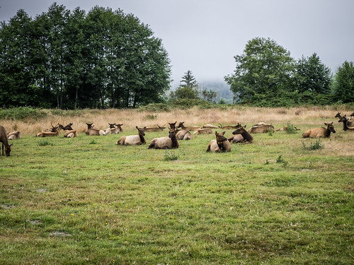
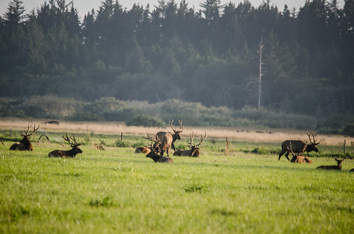
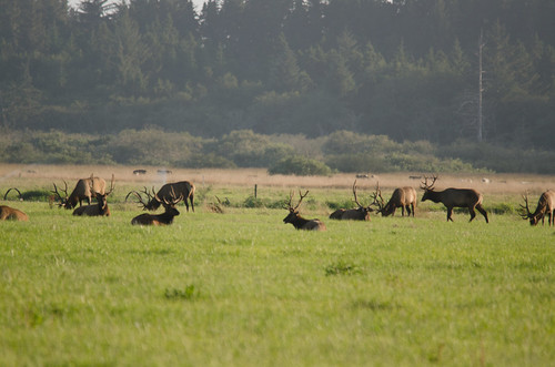
We found ourselves back at Highway 101, but significantly north of town. I had seen that north of town was the Lake Earl Wildlife Area, and was hoping to find it. I turned down several rural roads. While I didn’t find either the lake or the wildlife refuge, I did find a field covered with elk. This was the most we had seen yet.
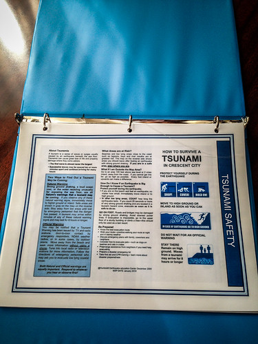
We stayed on the side of the road watching them for quite awhile. We took rural roads back to to town, and drove through the town. I’d seen that there were a couple of lighthouses in the area, but it was so foggy that I think we missed them. The town itself was small. Apparently it had sustained major tsunami damage in 1963, then once again in 2006. Therefore there weren’t many historic buildings in the town. Our hotel even had tsunami survival instructions as the first thing in its little informational notebook.
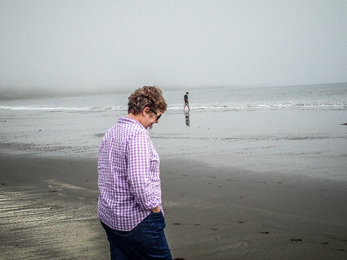
We ended the evening by walking out on the little beach next to the hotel, then settling in for the night to the sounds of sea lions and fog horns.



Enjoyed your tour we will be doing most of what you did this summer, thanks for sharing.