This trip was supposed to have been last week. The second Saturday of the month is when our Lowcountry Unfiltered group normally hits the trail. However, an event last weekend involving most of our group caused us to postpone the trip. That freed me up to participate in the Tame the Tyger Race last weekend.
So, this weekend rolled around, and our group headed down to the Edisto River. This time we were headed to a new stretch that ended just shy of the ACE Basin. We were going to do a thirteen mile stretch from Martin’s Landing to West Bank Landing through the historic district of Jacksonboro.
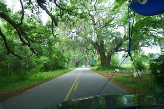
I loaded up the boat and gear Thursday night and headed down as far as St. George after work Friday. The weather wasn’t looking promising, but I decided to take the chance. When I got up Saturday to head down to the river a thick fog covered the area. However, it looked like it was going to burn off later. Driving through this historic area I wanted to just stop and photograph everything, but knew I’d need to get on down to our rendezvous at the take-out. I drove on through Jacksonboro, and turned at the old Wesley United Methodist Church onto Hope Plantation Lane.
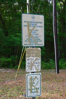
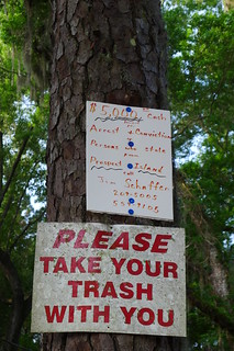
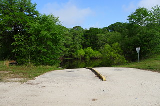
When I got to West Bank Landing, John Nelson was already there waiting. The place looked fairly nice, but there was some trash around and some graffiti.
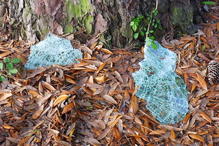
As we were waiting for the rest of our crew, a man drove up and got out to walk his dog. He came over to talk to us, and pointed out broken glass all over the place. He said that several trucks had been broken into last weekend. He also said that Martin’s Landing wasn’t much safer. I had a bunch of stuff in my car, and was a bit nervous. I spent the rest of the wait reorganizing the gear in my car that wasn’t going on the trip so that it was less visible from outside.
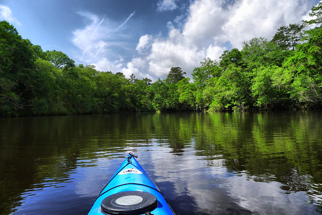
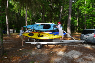
Speaking of gear, because of the length of the paddle I decided to bring my big Tsunami touring boat. Normally I like my Pungo for these Edisto trips because it’s easy to get in and out, and gear is more readily accessible. Since I wouldn’t have easy access to gear, I decided to leave the big Nikon DSLR and just take my little waterproof camera and my new LX5. It would be a good chance to put it through its paces.
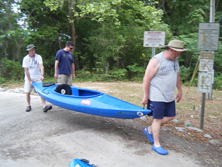
Soon the rest of the group arrived and we began loading up the boats for the trip back to the put-in at Martin’s Landing.
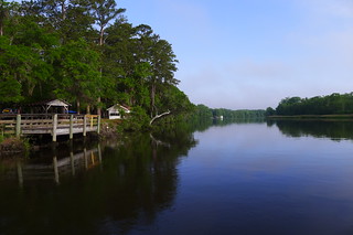
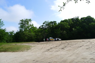
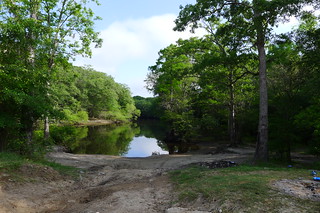
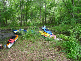
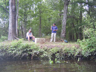
Martin’s Landing had a huge dirt parking lot. We had the place all to ourselves. There was a boat ramp, but also a nice little cove area for launching.
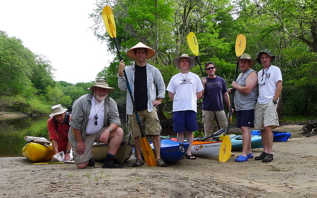
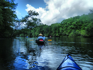
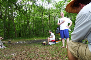
There would be seven of us on this trip. Before launching we posed for our traditional group portrait.
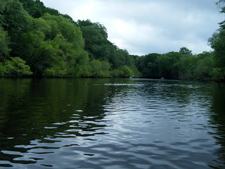
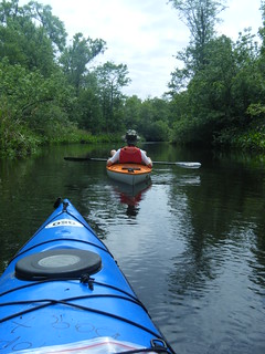
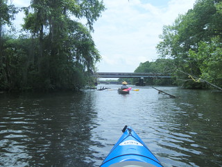
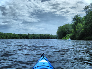
The river at this point is much wider than other sections we had paddled. We launched and headed on downstream. There was also not very much current, so we were pretty much under our own power for most of the trip.
And so began a first for the LCU Paddlers. Alan and I have referred to the group as the “ADD Paddlers”, easily distracted by rope swings, interesting channels, and any sand bar where they might find shark’s teeth or other fossils. In this case, we were about to start a four hour stretch where none of us got out of our boats.
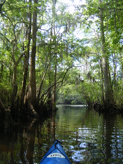
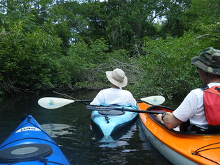
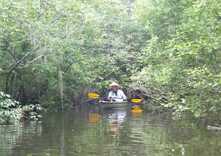
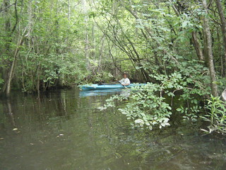
Not that there weren’t distractions. There were lots of interesting side channels. These narrower channels often proved more interesting, with cypress trees and overhanging moss.
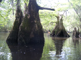
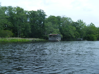
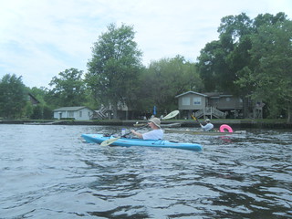
There were a few houses along this stretch, and we encountered a few small motor boats. However, for the most part the banks were fairly wild. We saw a couple of snakes, and one osprey flying off with a fish.

There were oxbows and side-channel lakes that also kept us busy.

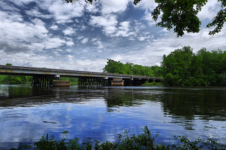
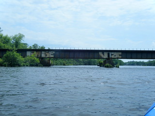
We were starting to get hungry. It was lunch time, and we hadn’t found a place to stop. Both a sandbar I had seen in Google Earth and an island further down were overgrown with weeds, and looked a bit unstable. Before we knew it, we were at the Highway 17 bridge and Jacksonboro. We had already covered about 2/3 of the trip.
Just past the bridge we found a suitable place to land – a historic landing covered with old cobblestones. Matt said that at low water levels you could see old ship ballast in the river.
We were making very good time, so several of us decided to paddle back upstream to another side swamp and check it out. John and Kyle decided to hang back and rest a bit more. We felt OK doing that because we had radios with us this time. These worked out so well that we’ve decided to make them standard equipment for all our future trips.
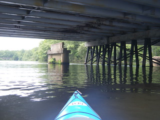
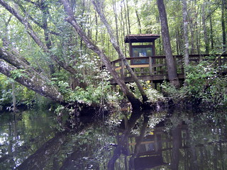
Back under the bridge and on river right another channel wound back into the cypress swamp. A nature trail leads from Highway 17 back to the river.
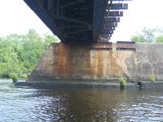
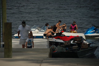
There was one more bridge – railroad trestle. At this point tidal currents overtake river currents as the main influence on the river. The outgoing tide was really ripping, and it was the first time we could float and expect to me downstream. Behond the bridge the nature of the river seemed to change. There were more houses and more boats. Jet skis zipped around us.
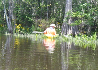
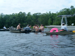
Matt and I had one more distraction. There was a level 5 difficulty geocache on the river, not far from us. An old barge, locally known as “Leroy’s Barge” had sunk in the river, forming an island that was now overgrown. The geocache was hidden on the upstream side of the island. On the downstream side a collection of boats had tied up and an impromptu river party was underway.

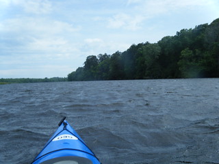
At this point we were starting to get tired. There were even more jet skis and boats creating wake. However, even more problematic was the wind, which now tended to counteract the outgoing tide. The last half mile got incredibly windy, and the waves were so high I almost felt like I was back on the Tyger River.
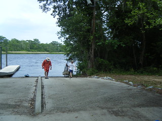
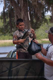
We pulled up to the landing, as did the jet skiers. Fortunately, it looked like our cars were still intact, as was our paddling group. We pulled the boats out and waited from Matt and Kyle to get back with the trailer. As we waited a father and young son pulled their boat out and also showed us the fish they had caught.
The trip was 13.2 miles, but we had added to that with side trips into lakes and channels. We loaded up our boats and said our goodbyes until the next time.

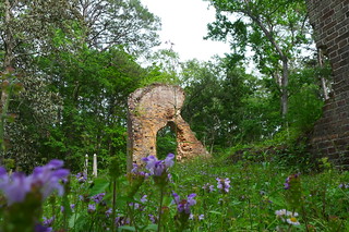
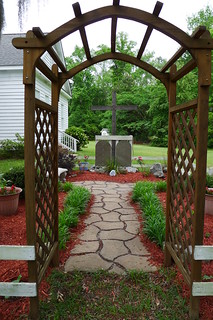
However, Alan and I weren’t through with our adventures. We had a couple of stops along the road back to the Upstate. Alan had never been to Pon Pon Chapel, so we stopped by there first.


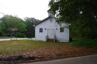
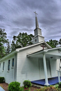
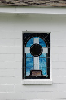
There were a couple of country churches that had caught Alan’s eye on the way in. We stopped by Mt. Calvary Baptist Church…
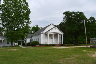
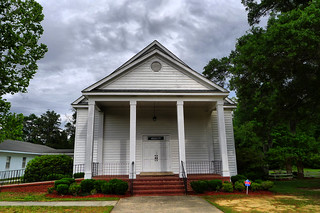
…and Bethlehem Baptist Church…
The weather had held off, and we had a great day on the river and exploring the area. It was another excellent Lowcountry Unfiltered paddling trip. Here are the rest of the photos from the trip…
Awesome paddle!
Looks cool