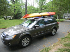
The weekend didn’t turn out exactly as I had planned. I had a meeting in Columbia on Friday, so Thursday night I loaded up the boat on top of my car. The plan was to drive down for the meeting, then continue southward to Lake Marion and Sparkleberry Swamp. Unfortunately, our cat Percy decided to get his paw hurt, so I had to drive back from my meeting earlier than expected to get him to the vet. He’s OK – just a small cut and possible sprain, but nothing broken.
I really didn’t want to drive back down I-26 again, but I still had the kayak on top of the car and still wanted to go paddling somewhere. All of my paddling partners were otherwise occupied, so I was on my own. I finally decided on Lake Jocassee as a reasonable target.
Last time I was here I had just gotten my Old Town Dirigo, and was wanting to see as many waterfalls as I could. This time I had the Pungo, but wasn’t really sure where I wanted to paddle. There was one waterfall from the last trip that I didn’t get to see because some bozo parked a pontoon boat right in front of it and showed no signs of moving. I decided to make that my first target. From there I wasn’t sure where I’d wind up.
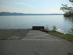
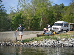
The air temperatures were OK, but the water was quite chilly as I unloaded the boat and got set to head out. There was a little activity at the boat ramp, but nowhere near as much as my last visit. A boy and his son were taking a canoe out, and one pontoon boat launched. Another trio was spending lots of time fussing over a tandem rec boat. I talked with them, and one man and his brother were planning to paddle the entire length of the Savannah River, but not all at once. On today’s trip they were heading up to the North Carolina River. I hated to tell them that they weren’t on the Savannah, and wouldn’t be for quite awhile. However, I’m sure they knew that.
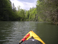
The water was fairly calm as I started out. The Pungo seemed a bit more sluggish than the Dirigo had on my last trip. It just didn’t seem to glide as well. Everything is a bit more accessible on the Pungo, so it’s better when I have a good bit of camera equipment with me, as I did today.
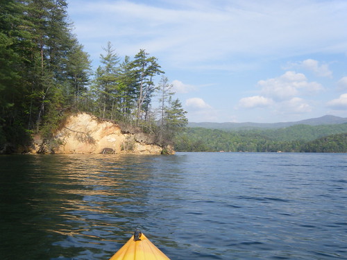
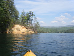
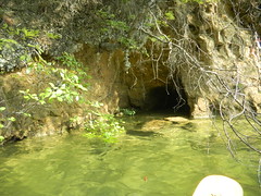
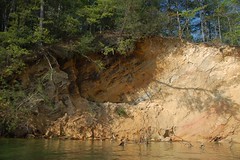
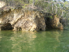
The water levels seemed much higher than last time. Each of the little coves had nice beach areas exposed last time, but not today. There were only the high eroded bluffs. The underlayers erode away, but an upper layer of topsoil bound together by tree roots hangs on, often creating interesting caves in the bluffs. Other cave formations are carved directly out of the bluffs by wave action.
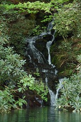
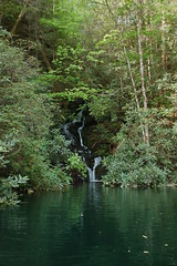
I paddled to my first target. Bad Creek tumbles into the lake not far from the upper boat ramp of Devil’s Fork. On the map the falls are just listed as “small waterfall” without an official name. Even though they are not as specatacular as Laurel Fork or Wright Creek, the falls are nice in their own way. This time I had them all to myself with no pesky boats in the way.
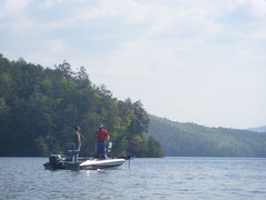
Speaking of boats, about the only traffic was a few fishing boats out and about. I watching one young lad reel one in. The boats kept checking out various coves.
From Bad Creek I decided to follow this arm of the lake as far as I could. I knew it didn’t extend as far as the Thompson River or Whitewater River arms, so it would be a nice little paddle that I could complete by lunchtime.
As I paddled the wind came up rather abruptly. The headwind made paddling difficult, but I figured better have it that way now, and have the wind at my back when I was tired. Clouds were also gathering, so I knew I couldn’t stay out all day. I checked out a couple of coves where I found smaller falls. The sound of the wind in the trees could be deceptive, but after awhile I could tell the difference between the wind and falling water.
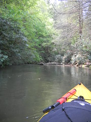
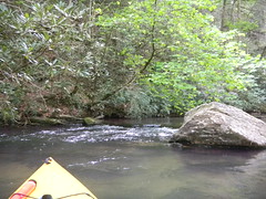
I eventually came around to Corbin Creek Cove. The creek flows into the river without a waterfall, so it was possible to paddle far back into the creek. I finally reached a place where a rock ledge made further progress impossible. I found a landing spot and got out to explore a bit. This was the only place I’d found to stop and take a rest – all the other places had the high bluffs that made getting out of the kayak a challenge.
From Corbin Creek I started the trek back. As I had expected, the wind was at my back, but it didn’t really make things easier. I was glad I had decided to make this a shorter trip, but it was still a good one, and I enjoyed the morning paddle.
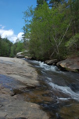
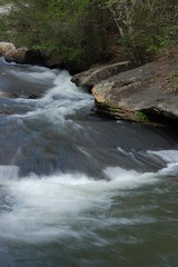
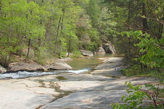
I made one last stop on Highway 11 at Long Shoals Roadside Park. This has long been a party place and swimming hole. However, SC DNR has redeveloped the area, cleaned it up, and turned it into a nice park. I got a few shots of the shoals, then headed on back toward home.
Here is a slide show of all 77 photos that I took on this trip…
I enjoyed reading about your Jocassee excursion. My wife and I are going to try kayaking up there soon. Thanks for sharing, and the photos are great!