It was the first second Saturday of 2011, and my friends from Lowcountry Unfiltered decided to brave another swamp stomp in the Congaree Swamp National Park. We did this once before in January a couple of years ago. At that time it had been raining all week, and we had one of the coldest, wettest hikes we’ve ever experience. This time around it was cold, but fortunately much dryer.
Last time we wandered around with a vague notion of where we wanted to go. This time we had a target, or, more appropriately, targets. We were looking for champion trees, and we wanted to see how many we could find before we wore ourselves out.
Preparation:
We were after champion trees. These are the largest trees of their species, as determined by three factors: height, average canopy spread, and girth. Points are awarded based on these factors, and the champion tree is the one with most points.
Circumference (inches) + Height (feet) + 1/4 Average Crown Spread = Total Points
Another tree of the species may be taller or wider, but the champion tree has the most points based on all three factors.
The Champion Tree Database is maintained by Clemson, and shows both the state and national champion trees in South Carolina. There are about a dozen state champion trees, and several national champion trees in Congaree National Park. However, their locations seem to be a closely guarded secret. The Clemson database only gives a very rough lat/long coordinate, and there is no easy way to get that data. You have to browse to the individual tree. I had e-mailed the park rangers at Congaree to see if they would share the GPS data they use for their big tree hikes. They denied my request on the basis of “protection of resources.” I guess there are enough vandals and jealous large trees from other locations to warrant protection.
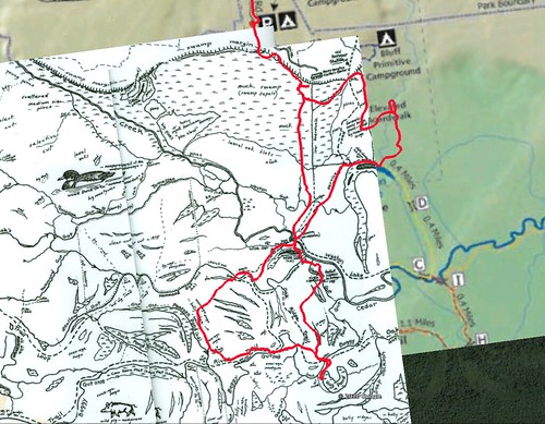
So, we had to fall back on secondary means. We had the “Cely Maps”, which are hand-drawn maps of the swamp with large trees and guts. I used this as a Google Earth overlay and marked the locations of the large trees. It wasn’t exact, but it would give us a general idea. I also downloaded several waypoints from Waymarking.com that showed locations of bridges, trails, and other landmarks from the park. All of this data was combined into one GPX file which we could upload to our GPS units.
The Trip:
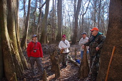
Saturday morning was cold, but it didn’t look like we would run into flooded conditions like last time. I drove on down and got to the park at about 8:00 am, about the same time my brother Stephen was arriving. Dwight Moffitt arrived soon after, and I used my netbook to transfer the GPS data to their GPS units. The last time we did this hike I was the only one with GPS or even a compass. This time we were almost all armed, and I had even brought spare batteries. Matt, John, Rob, and Jason arrived soon after, and we set out.
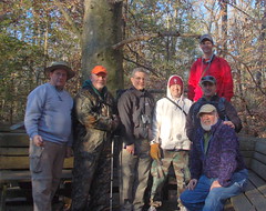
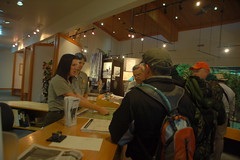
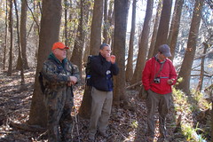
We paused for a quick group shot when we got to the boardwalk, then headed into the visitors center to see if they could provide us with more information.
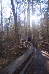
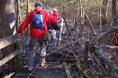
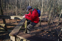
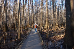
The route we chose this time was pretty much the reverse of the last LCU hike. We headed east along the high boardwalk, in search of the champion loblolly pine. Supposedly there was a new champion, and we wanted to find it. However, we ran into trouble right away. Not too far from the center a large tree had come down and demolished part of the boardwalk.
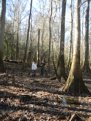
We crossed the Sims Road Trail and continued on the boardwalk, following it as it turned southward. About midway between the turn and Weston Lake we abandoned the boardwald to find the loblolly, which was further to the east. Since this was a new champion, I didn’t have it in the GPS data. We searched and searched, and saw several astonishing trees, but we didn’t find the champion.
Eventually we made our way back to the boardwalk, picking it up at Weston Lake.
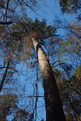
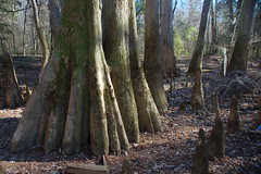
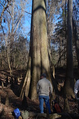
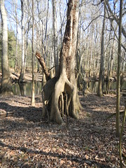
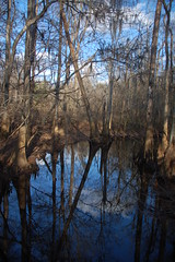
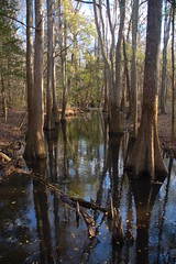
We stayed on the boardwalk until it crossed the Sims trail again, this time taking that trail south. Our next objective was the tallest cypress in the swamp. We made our way to Wise Lake, and crossed it on logs so that we could try to find our way to the large cypress. We crossed several low guts that had huge trees all along the way, but eventually we found our tree. It turns out that my GPS data was spot-on for this tall bald cypress.
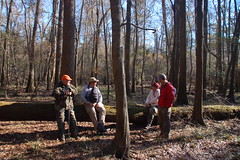
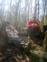
The Lowcountry Unfiltered group is not only a bunch of ADD paddlers, but ADD hikers as well. We tend to get distracted by lots of things, so we hadn’t made as much headway as you might have thought. By the time we got the the huge cypress it was time for lunch.
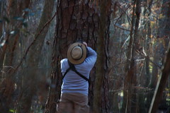
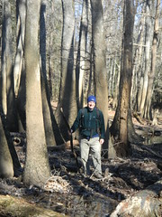
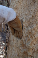
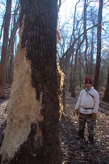
We searched for a couple more champion trees in the vicinity, including a large oak that was supposed to be nearby. We followed the hammocks and ridges and saw lots of other large trees along the way. We also got into a debate as to whether or not some tree damage had been caused by pileated woodpeckers or a bear.
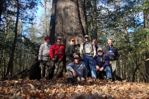
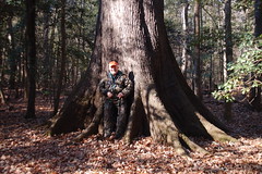
At this point two things happened. Stephen took a tumble and banged up his shoulder, and I developed a terrible limp from blisters on my feet. The Taylor Brothers weren’t doing so well. We had one last must-see tree, and it was on our way back. This was a massive cherrybark oak were we had posed for a photo last time. We did manage to find it with no problem.
After posing for our photo we limped our way on back along the Oakridge Trail and found the low boardwalk. My feet were hurting so bad by this point that I took my boots off and walked along the boards in my socks.
By about 4:00 we made it back to the cars. It had been a great hike, but we were exhausted. In all, we hiked about eight miles, which was much further than last time. Below is the track of our swamp trek.
Here’s a slideshow of the rest of the photos I took along the way…


I really enjoyed this trip, Tom. It was a dream of mine to go off-trail in the swamp. And finding that big Cherrybark Oak was tremendous. The huge open space under it’s canopy… I really want to go find it again when it has leaves on it.
Dwight
Glad you could join us! These guys are notorious for going off the trail, even when they are paddling. Usually they stay out of trouble, but it’s always fun.