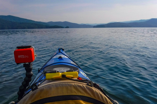
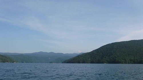
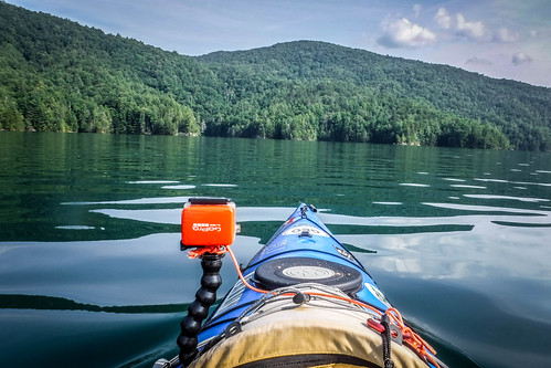
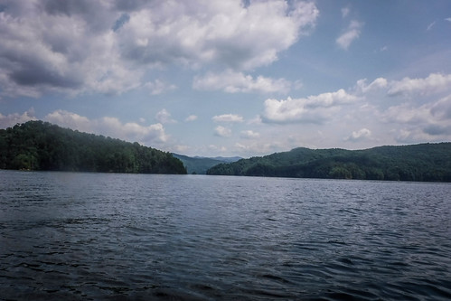
The day was supposed to be hot. I thought the perfect antidote would be a cool mountain lake. So, Thursday morning I headed out early for what I thought would be a quick morning paddle on Lake Jocassee. As usual, I got caught up in the thrill of wanting to see what was just around the next bend, and wound up spending most of the day there. It met all my requirements for a cool lake, and then some.
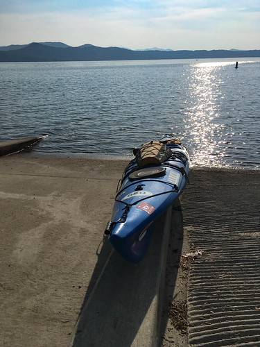
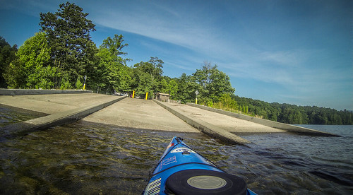
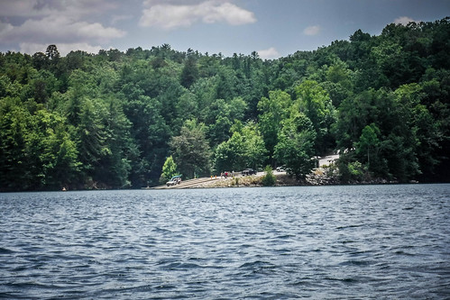
I arrived early enough that there wasn’t any traffic at the ramp. I was able to back down and unload with no problem at all. There were some boat trailers and vehicles already parked there, but for the moment I had it all to myself.
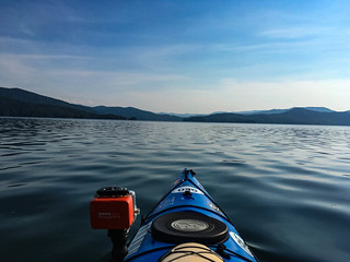
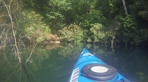
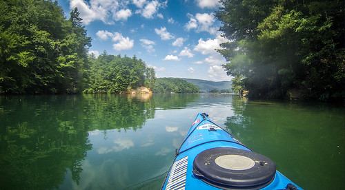
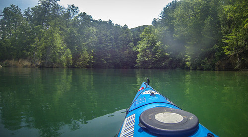
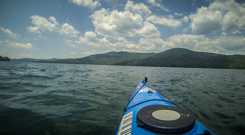
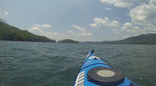
I couldn’t ask for better paddling conditions. There was a slight breeze, but for the most part the water was calm. There was very little boat traffic out on the lake this early. Sadly, both of those conditions would change for the worse over the course of the day, but for now I had it just about perfect.
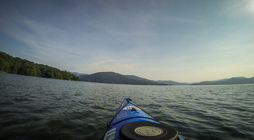
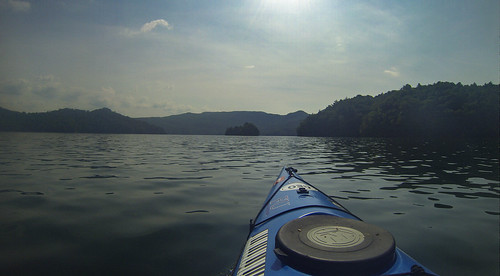
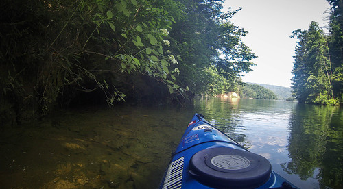
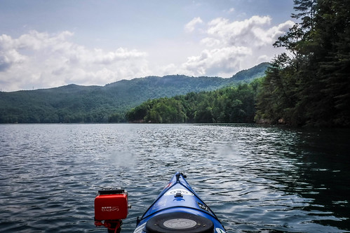
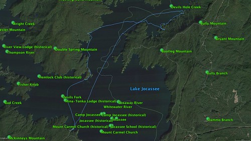
My plan had been to just hug the coast near the boat ramp, weaving in and out of some of the coves. With conditions this nice, I decided to head out across the lake, roughly in the direction of Double Springs Campground. I wanted to see some new territory. I had explored just about all of the western arm of the lake. I had explored the very upper reaches of the eastern arm, but that was after a pontoon boat carried us up there. I had paddled to Double Springs a couple of times, but I had never really paddle out beyond that into the eastern branch of the lake. I set off in that direction.
I made this video just as I was deciding which way to go. The lake can be confusing, and the distances deceptive.
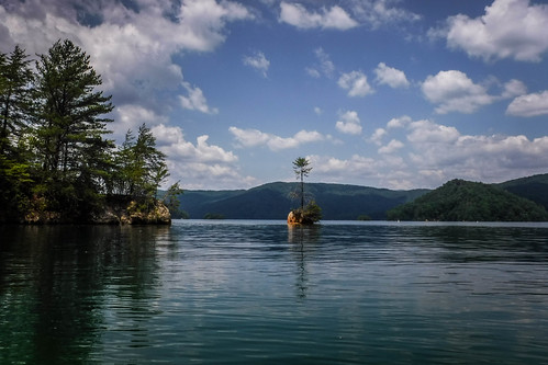
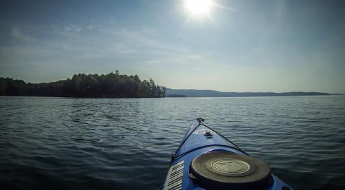
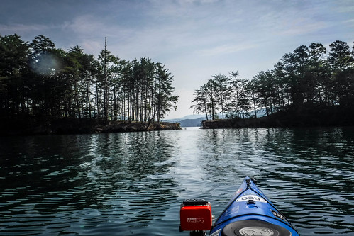
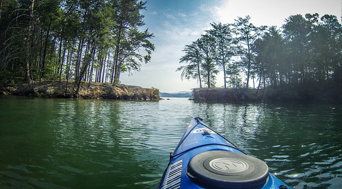
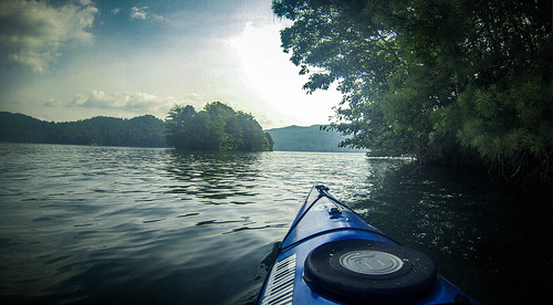
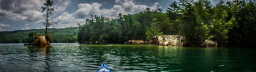
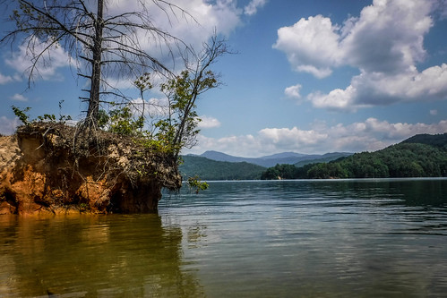
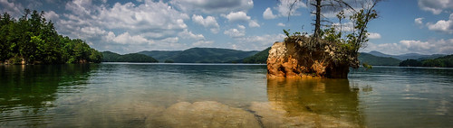
I made it over to the campground at a fairly quick pace. I rounded the peninsula and found another bit of land jutting out into the lake. A gap had eroded, turning it into an island. Of course, I had to paddle through it.
And, there’s video…

Water levels were pretty high. At lower levels I wouldn’t have been able to get through. As it was I hit ground a bit.
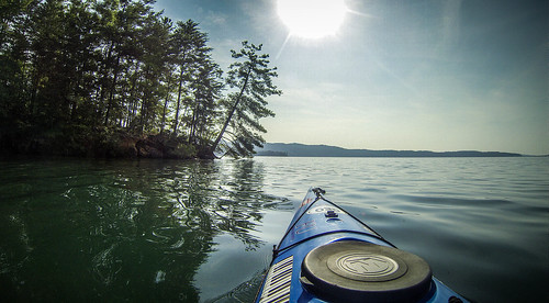
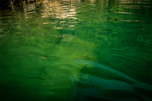
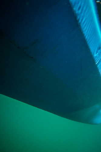
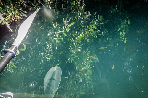
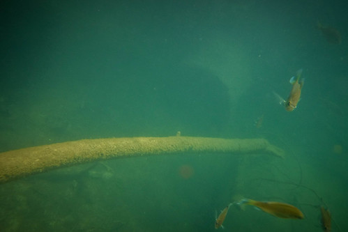
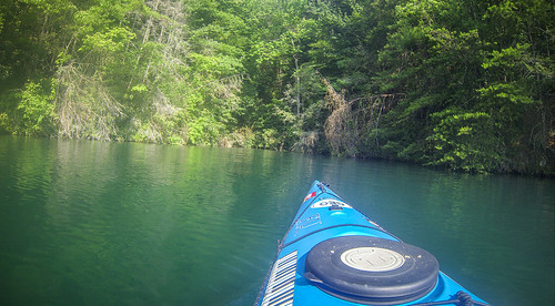
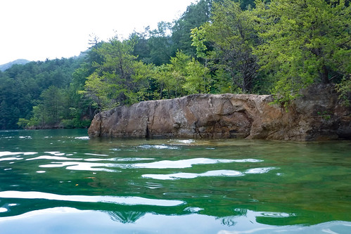
Once again I was amazed at how clear the water was. I could see the bottom 12+ feet below. I decided to shoot some underwater shots, including a selfie from below the water level, just to show how clear it was.
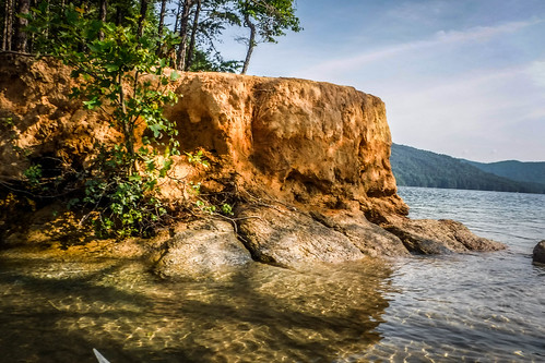
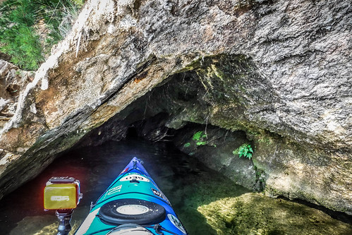
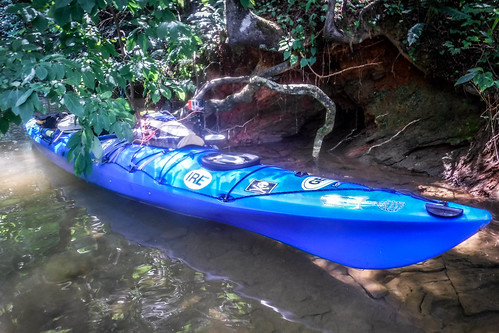
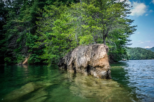
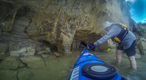
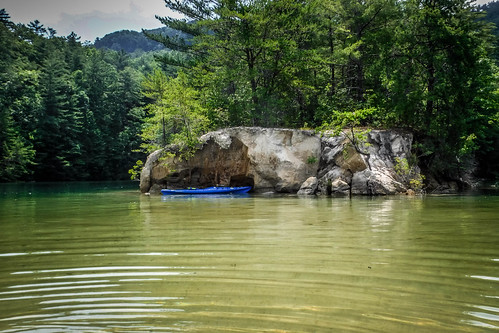
All along the banks are caves formed by erosion and collapsing top soil. I found a good-sized one and paddled into it a bit.
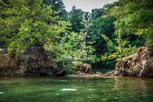
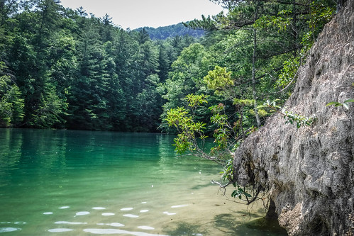
I continued into one cove and heard water trickling down. It was a tiny brook, not even enough to call a waterfall. Even so, it was a pleasant sound. I looked down into the clear water and saw lots of fish, including some much larger ones down a bit deeper.
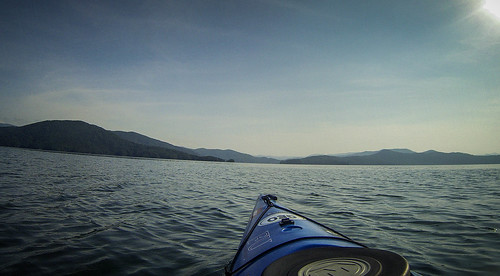
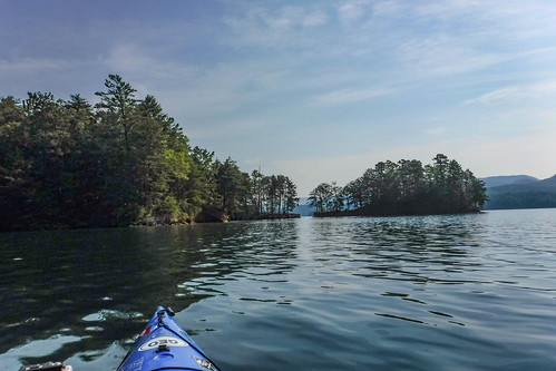
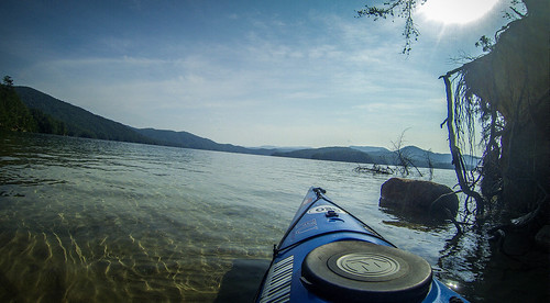
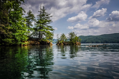
I continued along the north bank of this arm. I was tempted to just keep ducking in and out of coves, but I knew that each one would be about the same as this. I was hoping to find a spot where I could pull up and just hang out a bit, possibly swim in the cool water. So far, the scenery had been spectacular, but I hadn’t found the perfect spot.
I crossed to the other side of the lake. There was a small island and I ducked into a secluded cove where I did find a small rock shelf. I pulled up and took a quick dip in the cool lake water.
I would have been happy just to hang out on this ledge, but this wasn’t quite the paradise I’d hoped. Large horse flies started biting. I couldn’t get my shirt and PFD back on fast enough.
I paddled on out of the cove. Looking to my right I could see the high bluff with Jump Off Rock. I realized there was no way I could make it up to Laurel Fork Falls, but I felt that I could go a bit further.
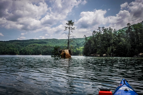
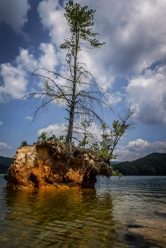
The five minute rule states that no matter where you stop for lunch, five minutes downstream there will be a much better place. I hadn’t even brought a lunch, because I thought this was going to be just a short trip, and this was not so much “downstream” as “further out.” Even so, I did find the perfect spot. I tiny island with a single tree stretched out from a point. This former peninsula had a rock ledge just under the water that was perfect for wading. I actually stood out there and did a Facebook Live broadcast. It was a bit disconcerting to be able to get a strong enough signal for a live feed this far out into the wilderness.
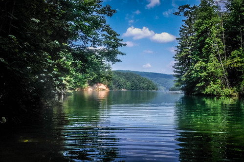
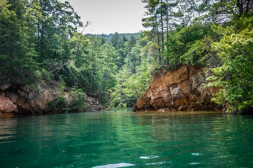
The cove behind this point was just as deep, cool, green, and inviting as all the others I’d seen.
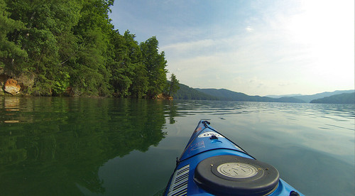
So far I was really digging this new territory. Unlike the western arm, there were no houses at all. One gets a sense of remoteness. That is, except for the ski and pontoon boats that were increasing in number. As much as I wanted to just set up shop and let the afternoon pass, I knew I needed to head back. It would take awhile.
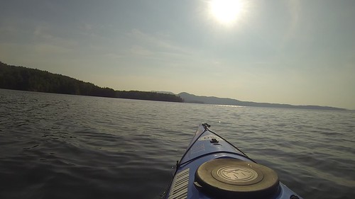
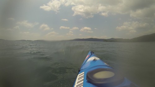
As it turns out, boat traffic wasn’t the only thing that had increased. The wind had really picked up, and I would be paddling against it the whole way back. White caps built up once I finally get onto the open lake. I got my start running rapids, so bouncing over waves is actually fun for me. A constant three or four miles of that, though…
Eventually I made it back to the boat ramp, and I pulle dup to a three-ring circus. There were boats of all shapes and sizes coming and going. I was glad I had gotten an early start.
In all, I paddled 10.7 miles.
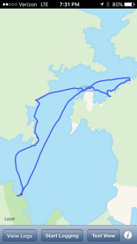
Or, perhaps it was 11.2 miles. I was using my phone to track the mileage. When I checked the app on the phone it was 10.7. However, when I imported that exact same data into Google Earth, it was 11.2 miles.
I think I’m going with the Google Earth number, not because it’s larger, but because it’s consistent with the other data for my trips. I’m now a bit over 85 miles for the year. I think I can break 100 miles this summer.
Here are all of the photos I took on my Jocassee journey: