Ghost Towns of the Eastern Broad Valley
As we were to discover much later, there are few ways to cross the Broad River. We had to head north until we reached the town of Carlisle and take Highway 72 across the river. There isn’t much to the town, but there are some large industries on either side of the river.
Once across the river we took Highway 235 south toward Shelton. There is so much history in this area and so much we wanted to explore. However, we were running out of time. Our trek on foot had taking up a good part of the day and now it was getting on toward late afternoon.
We reached signs indicating that we were in the community of Shelton. However, we weren’t in the place we wanted. There is a community called Shelton that grew up near the old ghost town, but it isn’t the location of the original town. I had driven through this area, but had never found evidence of the old town. Armed with new map data I thought we might be successful today.
This image from an article I found in the Fairfield County Museum shows the town right on the railroad tracks. Old maps also show it in this location.

The road ends at the tracks. Railroad workers were unloading a stack of ties, so we stayed out of their way. After they left I was able to get a shot in approximately the same location os the photo above.

Though long gone, Scott and I were able to find some remnants of the old buildings. There were some foundations, a brick wall, and an old chimney. We also found several scattered bricks.


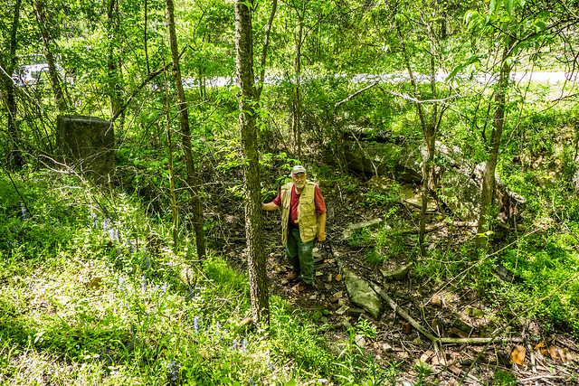
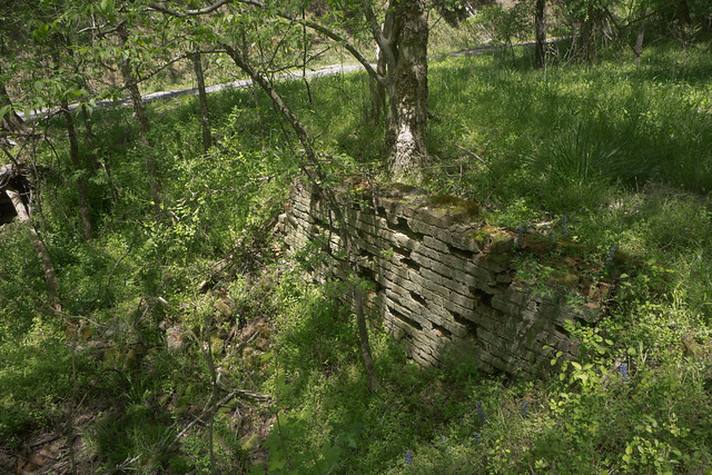


It was the first time I’d found any real remnants of the town and I was excited that there was so much left.
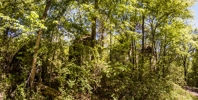
Clayton Depot is about a half mile south of Shelton along the railroad, but it’s at the end of another road. I had visited before, but I’d only seen the cisterns and no remnants of the Shivar Springs Bottling Plant itself. On this visit the cisterns were covered with vegetation, so getting a good shot was a problem


Since the last time I visited I had found a photo of the cisterns from the Library of Congress, taken when the bottling plant was in production. The cisterns are now on the National Register of Historic Places.

The nomination form for NRHP mentioned that N. F. Shivar built his bottling plant right next to the railroad. This time, despite the vegetation, I was able to see the ruins of the foundations down next to the track. I still wasn’t able to get a good shot.

We headed south, sticking to the the eastern side of the Broad River. We made a very brief stop at Blair…

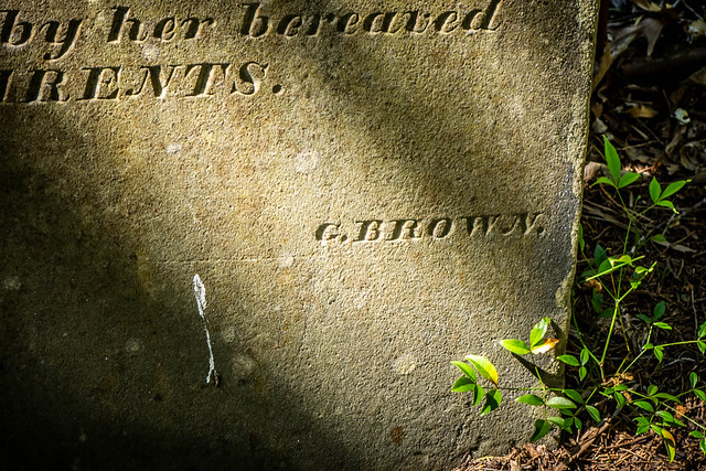
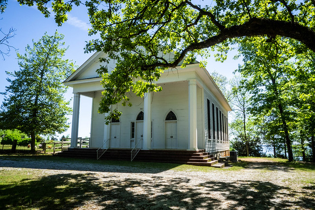
…and drove through Monticello. Scott had not visited the Monticello Methodist Church, so we also made a stop there. I hadn’t remembered visiting the historic cemetery, so we took some time.


We did have a final target in mind. I had planned to include Alston in my class discussion, mainly to point out the trestle over to Peak. Scott had never visited, so that was our destination. We took a few minutes to walk across the trestle.


By this time it was late afternoon and we were tired. The only problem was that the closest bridge across the river was closed because of construction. I headed south, passing through Jenkinsville, before I realized that we would hit Columbia before we got to another river crossing. We retraced our steps north until we reached Highway 34 and headed back to the interstate. It occurred to me that in the 19th Century there were actually MORE places to cross the river with all of the active ferries.
Even so, it was a good day exploring. Scott and I had lots of discussions on the long drives and we found out we have quite a bit in common, with everything from photography to history to shape note singing. Plus, we had some personal experiences we could work into Wednesday’s class.
Tom, I am very familiar with that part of Newberry and could tell you how to see Henderson Island if you haven’t already seen it. There is a pull off on the right of Shelton Ferry Rd. before you get to actual ferry landing. It’s a Forest Service spur but you can walk it following a gravel road. You have to bushwhack some until you get to Broad R. floodplain. Henderson can be seen from bank. I’ve also paddled to Henderson many times. I had no idea a settlement was once there, although I did see some old farm implements. Feel free to contact me. I love exploring that island and would be glad to share any info.