I hate that I missed the paddling trip down Ebenezer Creek with Lowcountry Unfiltered a couple of weeks ago. I really wanted to get on the water. So, when the Greenville Canoe and Kayak Meetup group sent out an e-mail notice of a trip down the Tugaloo River, I decided to join them.
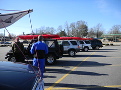
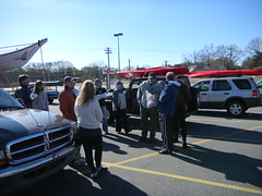
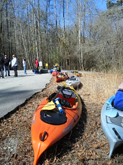
Alan decided to come along, and I was happy to have at least one person I knew along on the trip. We set out from Greenville and met the group at an Ingles parking lot in Westminster. 22 had signed up for the trip, and the collection of vehicles with boats on top indicated that this would be a large group.
A skeptical policeman dropped by and questioned our sanity for wanting to paddle in such cold weather.
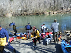
Organizers Mike, Kim, and Russ got the group organized and on its way to the put in at Walker Creek on the Georgia side of the river. The plan was to paddle an eight-mile stretch of the river from just below Yonah Dam down to Stephens County Park access, just below the Highway 123 bridge.
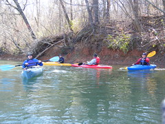
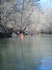
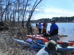
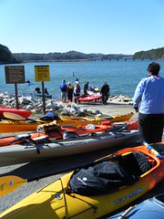
We got the boats off-loaded and ran the shuttle down to the take-out. It was just about noon when the group finally got underway on the river – 15 boats and 16 paddlers.
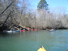
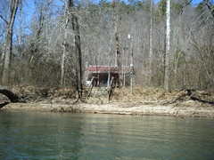
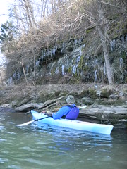
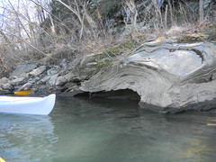
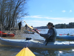
It was chilly – mid 40’s – but we were all suitably attired and it didn’t seem too bad. At this point the Tugaloo is about like any other South Carolina river. There was a good current, and the river wasn’t too wide. Little cabins and rocky outcrops lined the banks. At one point a sheltered overhang held quite a collection of icicles.
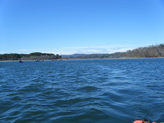
Very soon, though, the river began to widen and the current decreased. The banks were no longer steep, but low grassy bottom lands lined the edge of the river. Several tributary streams entered along the way. I kept thinking that the Lowcountry group would have stopped to explore every one of these tributaries.
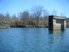
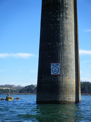
We reached the Highway 184 bridge, and a very sad remnant. Three bridge abutments are all that remain of the old Prather’s Covered Bridge. Built in 1916, the covered bridge spanned the Tugaloo until it was destroyed by arson in 1978.
This is what it used to look like…
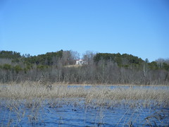
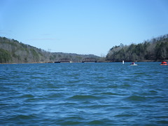
At this point Tugaloo River is really an upper arm of Lake Harwell, and below Prather’s Bridge it started to take on more lake-like characteristics. Little coves opened off on either side, and grasses grew in the shallower areas of the lake. Alan and I paused to explore a couple of side channels, and wound up getting behind the rest of the group. This paddling group apparently doesn’t stop to explore or even take breaks, and we finally caught up with them when they stopped for lunch.
During lunch the wind picked up and I decided to put the spray skirt on the boat. I was glad I did. The waves increased, and some even broke over the bow of the kayak. We were only 2 miles away from our destination, but this last bit was the most challenging to paddle.
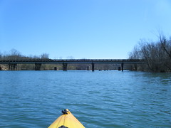
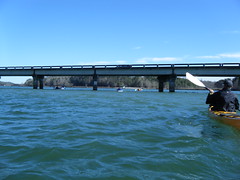
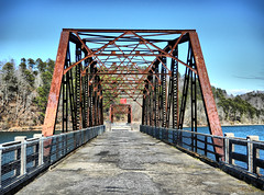
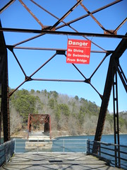
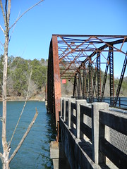
Our group soon passed under a railroad trestle, and the Highway 123 bridge was in sight. Beyond that, the old 123 bridge still stands, preserved as a fishing bridge.
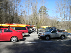
Shortly after 3:00 we reached our take-out. We pulled the boats out at the boat ramp and loaded them onto the vehicles.
It was a good paddle, and we met some nice folks along the way. I’ll have to watch out for more paddling events with this group. Below is a map of the trip. Click the image for a link to Google Maps.
Before leaving Alan and I decided that we wanted to stop and take some shots of the old 123 bridge.
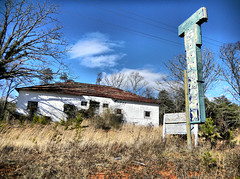
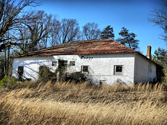
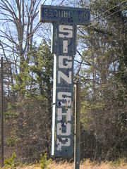
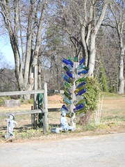
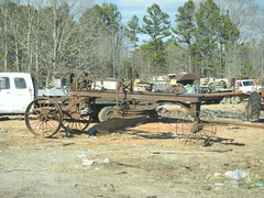
On the way back, we also got distracted by a few other photo opportunities.
On a final note, this was the inagural voyage of my new truck. It performed marvelously. The kayaks seem to fit better in this vehicle, and it drove and handled better than the old Toyota ever did.




Please notify me if the next Tugaloo trip. It looks like a great trip