
During August I was able to take two long trips on the Edisto River on successive Saturdays. One was with a new group, the Carolina Splash Mob, and the second was with the South Fork Paddlers.
Killkare to Zigzag with the Carolina Splash Mob
The Carolina Splash Mob is a relatively new Facebook group. They have been sponsoring lots of interesting trips, mostly multi-day camping trips. Several of my paddling friends from other groups have taken part, but so far it just hadn’t worked out for me to join them. Finally the stars aligned, and I was able to paddle with them on an Edisto trip.
This time we would be launching at Killkare Landing on the north fork of the river and paddling down to Zigzag Landing on the main stem of the river.
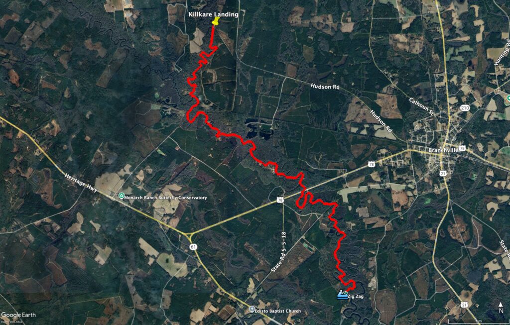
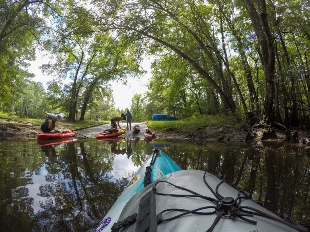
I got to the landing early to check things out. Since this was a new group, I really wanted to know the lay of the land, even though I’ve paddled this route before. It’s a good thing I did. The landing didn’t quite look like I remembered. With recent storms the boat ramp had collapsed. The bank was too steep and the river too deep and swift to comfortably launch.
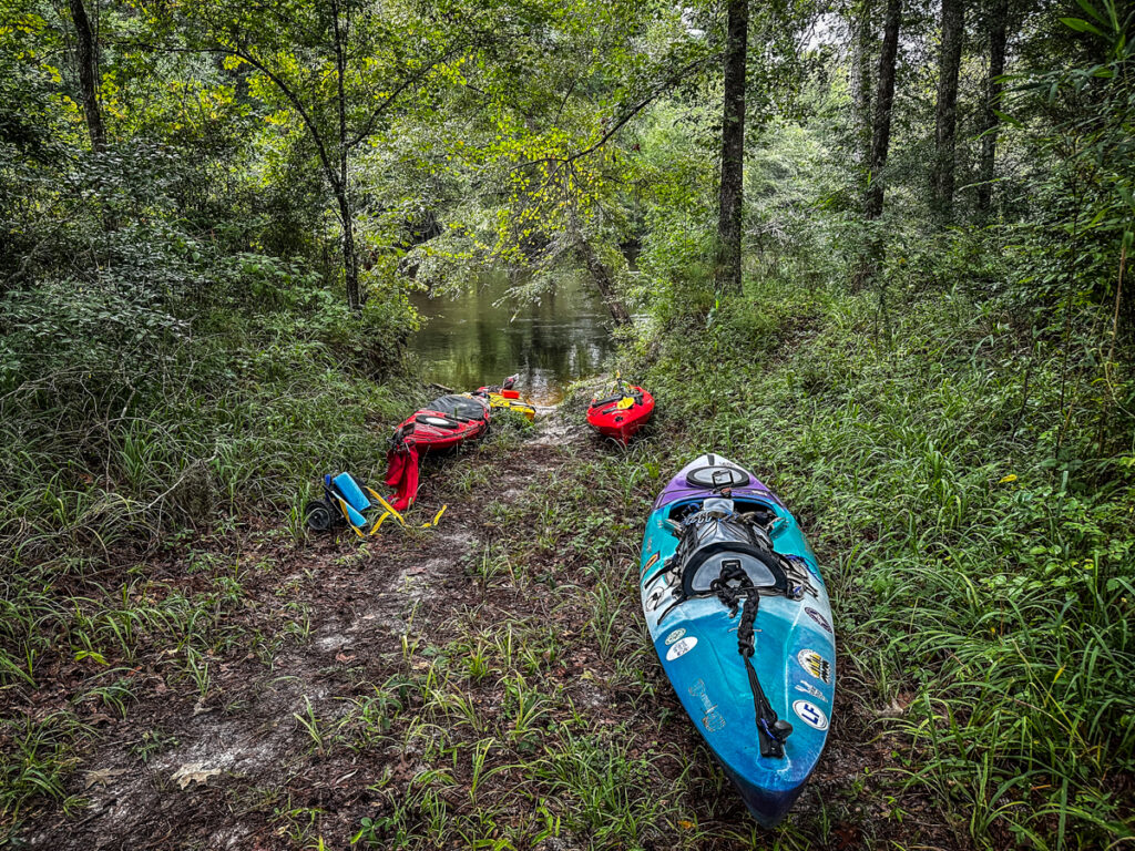
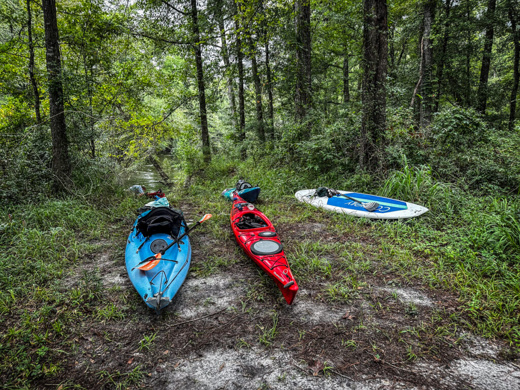
Fortunately, there was access just upstream. We had to go through a fence and down a trough, but it was doable. Six other paddlers joined me for a total of seven of us. One was even on a paddle board. We ran the shuttle and prepared to launch.
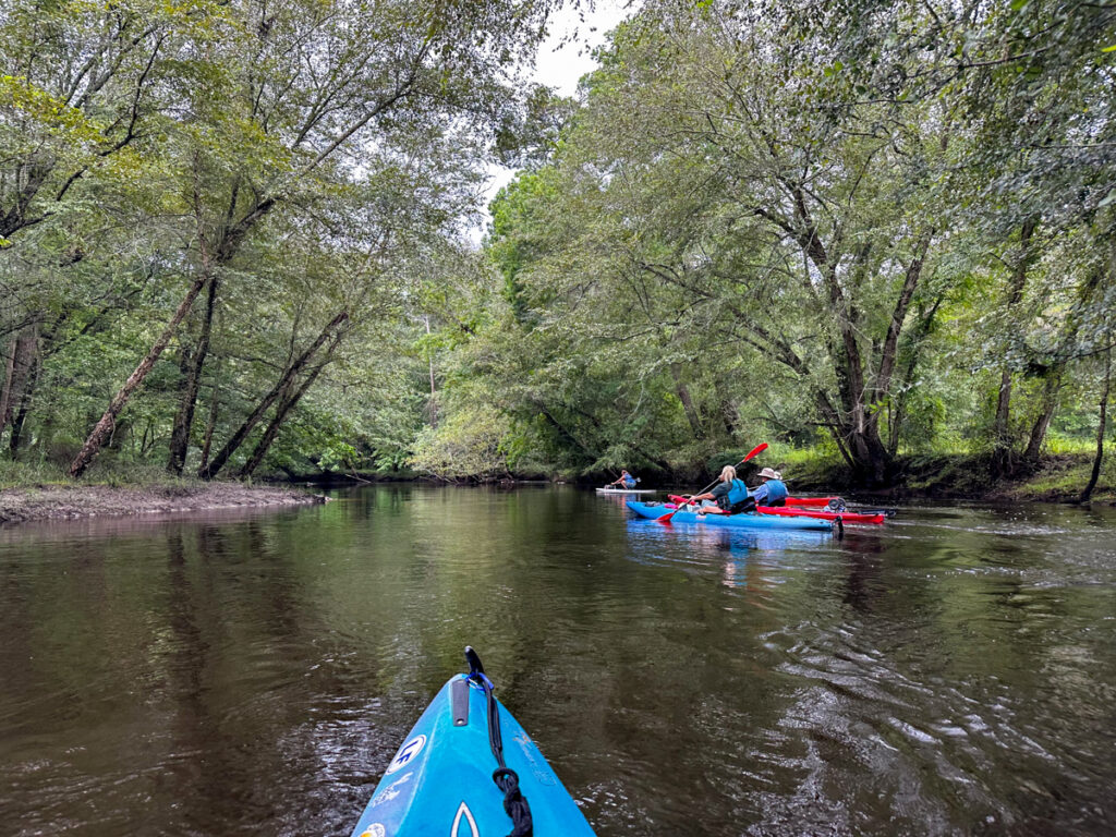
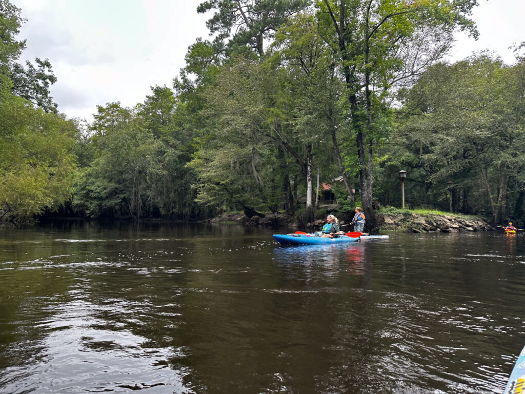
This turned out to be a good group. Seven is an excellent number paddlers, and all were amiable. George Hancock was the only member of the group I’d paddled with before, but it seemed like we had all known each other for a long time. The river can do that.
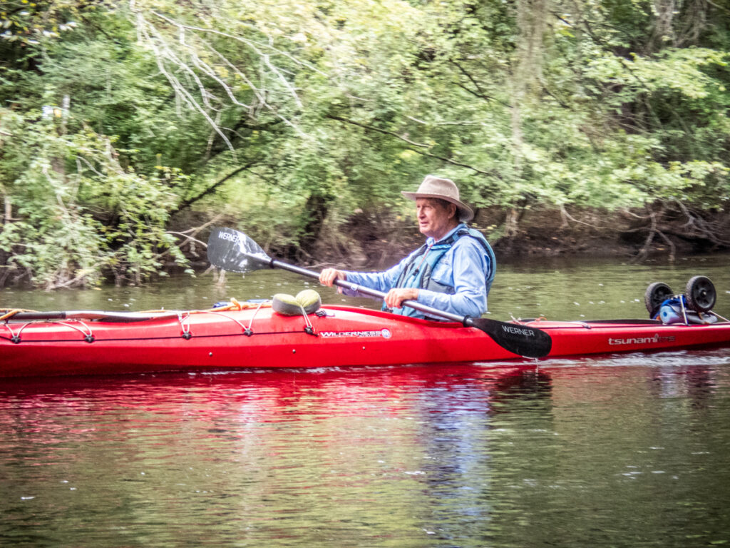
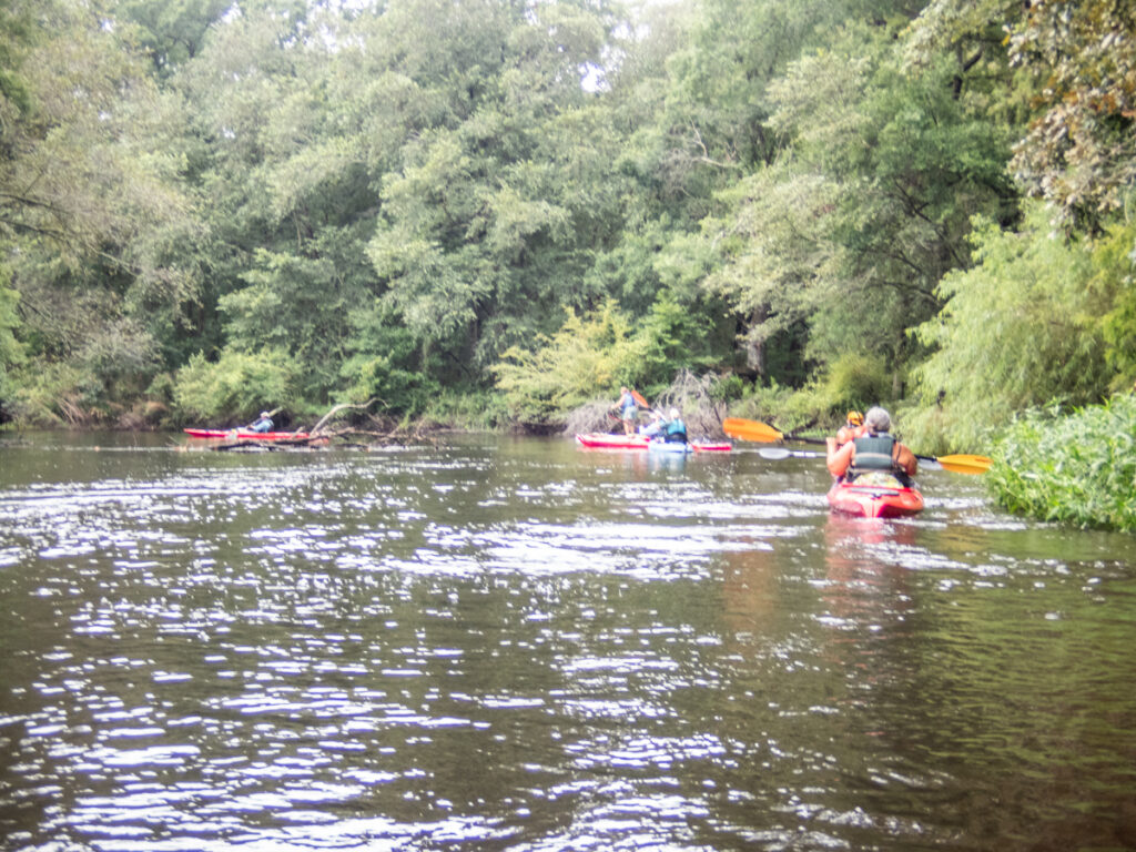
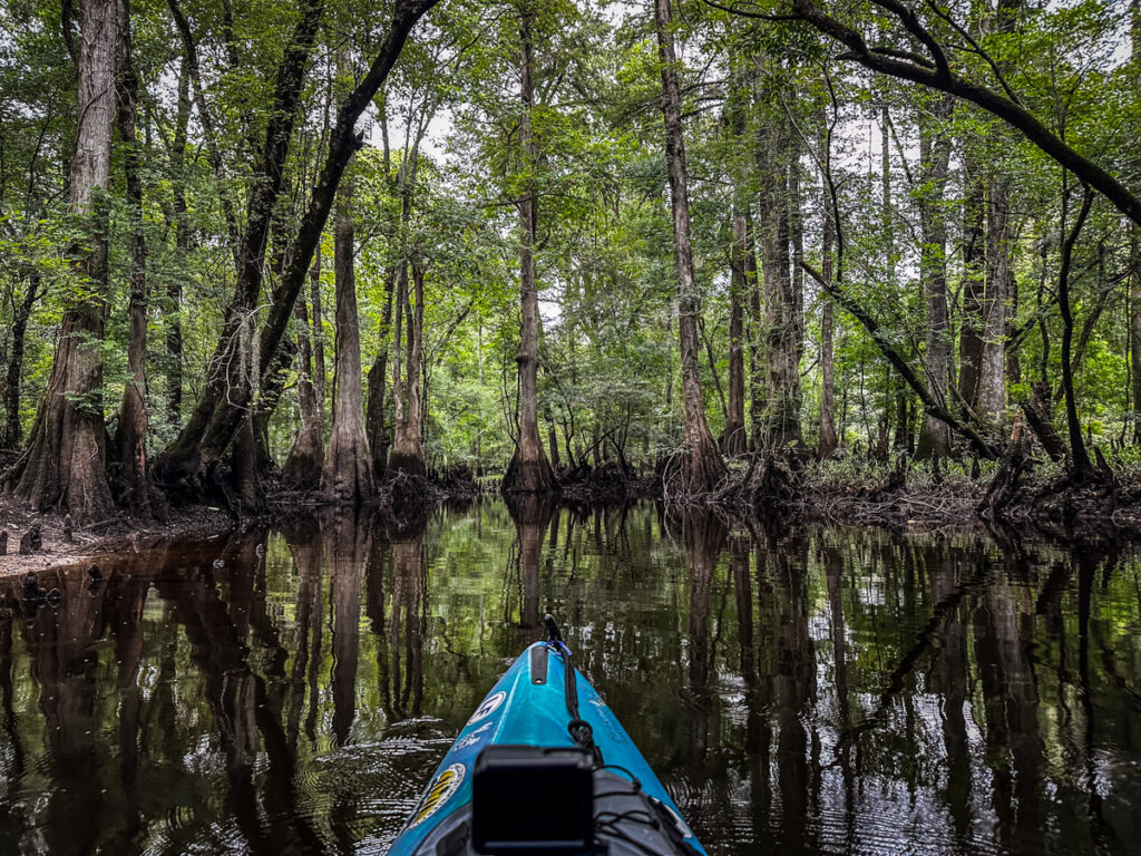
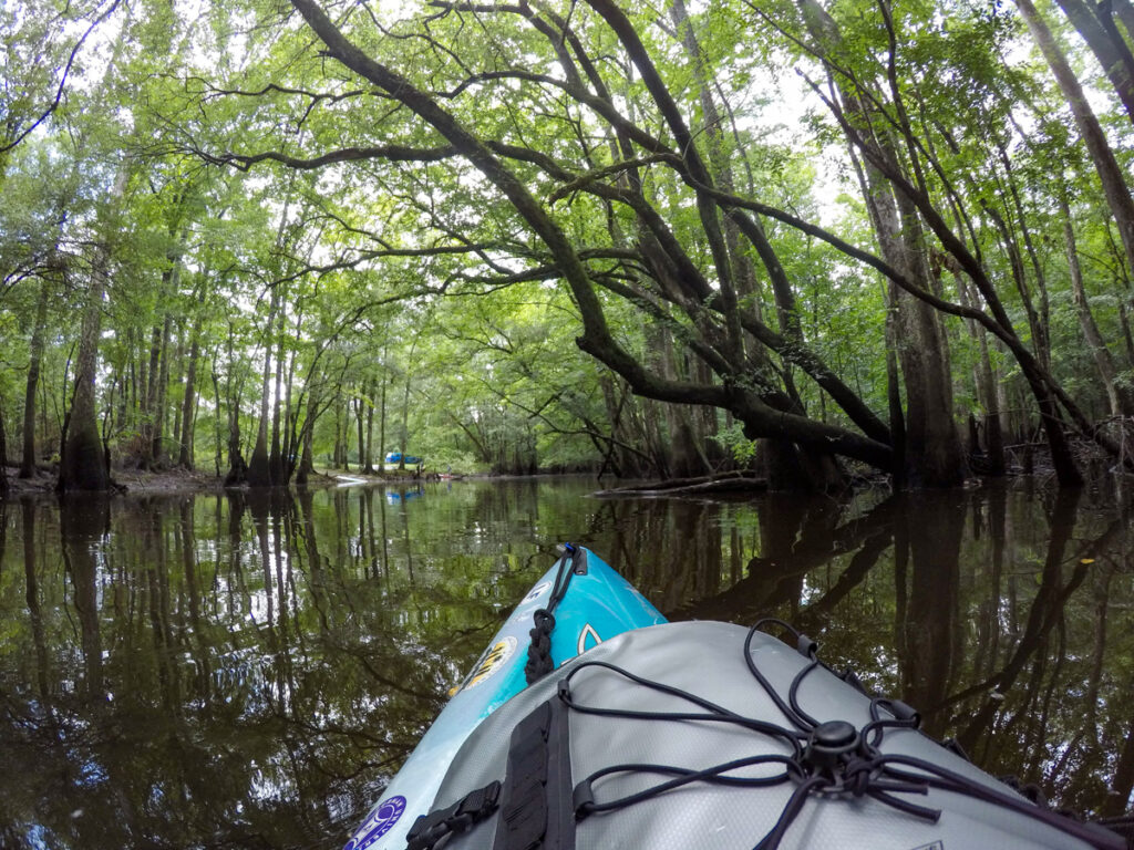
The weather was overcast, but seemed perfect. The scenery never disappoints. The photos tend to get repetitive, but when you’re on the river it’s anything but.
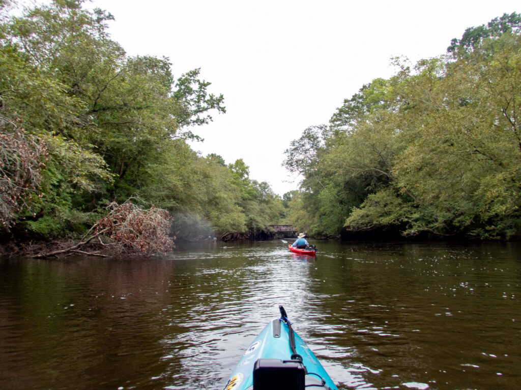
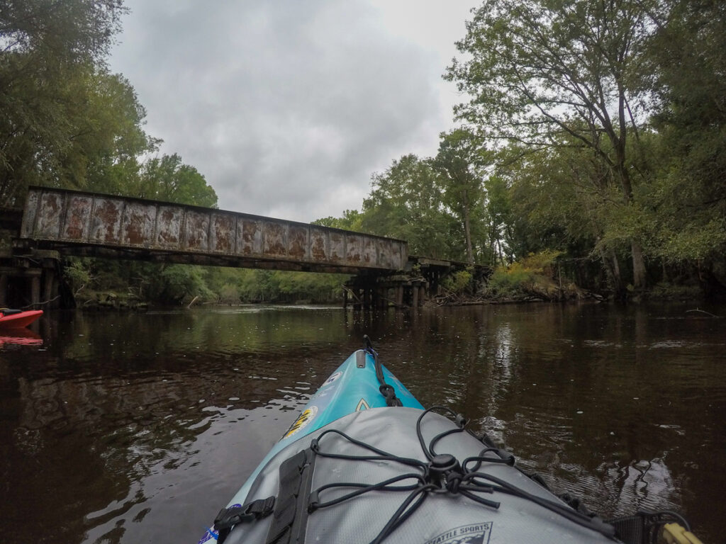
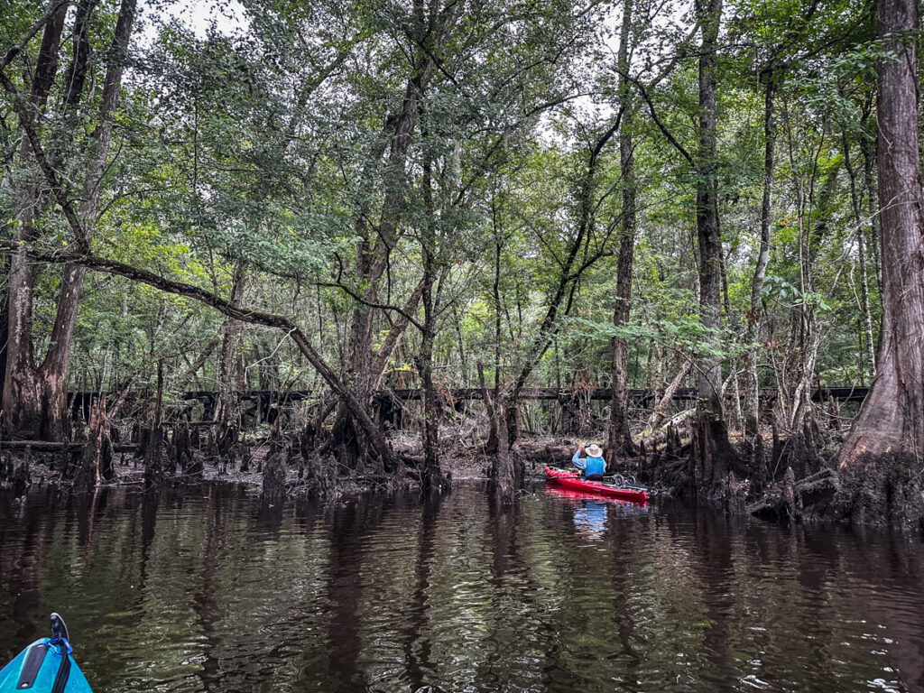
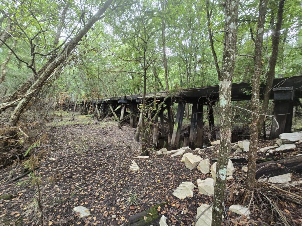
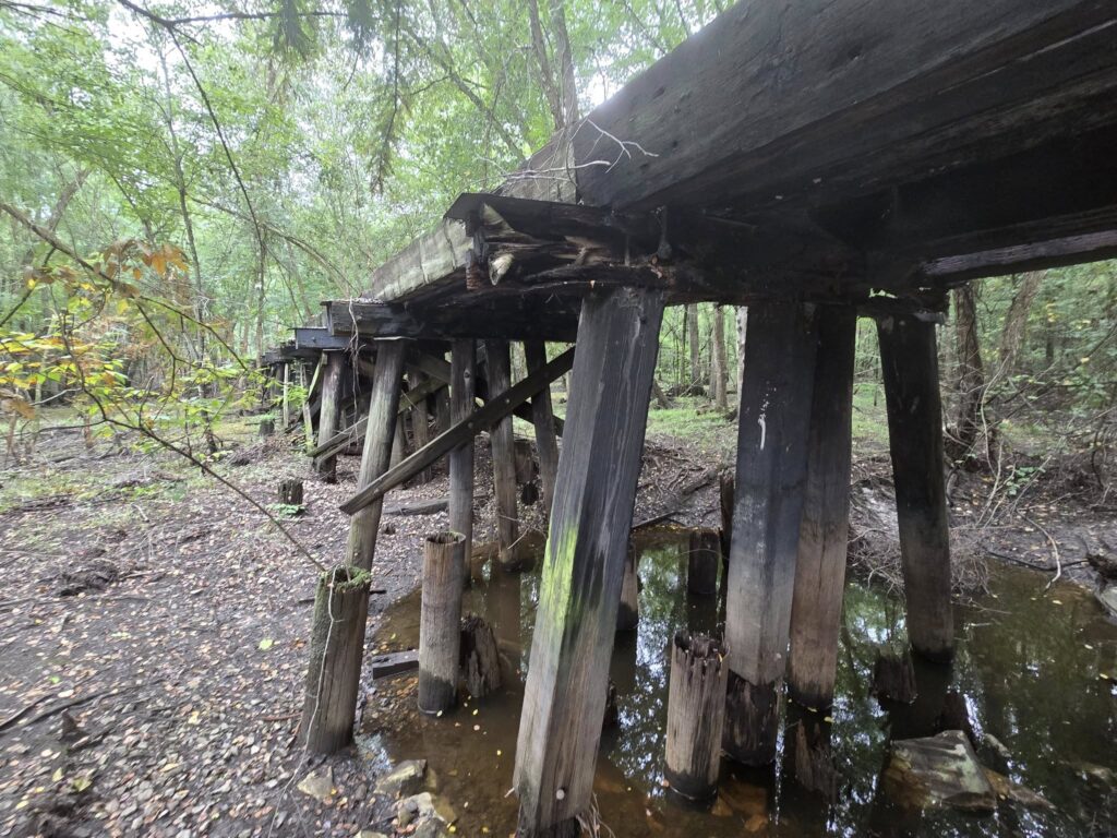
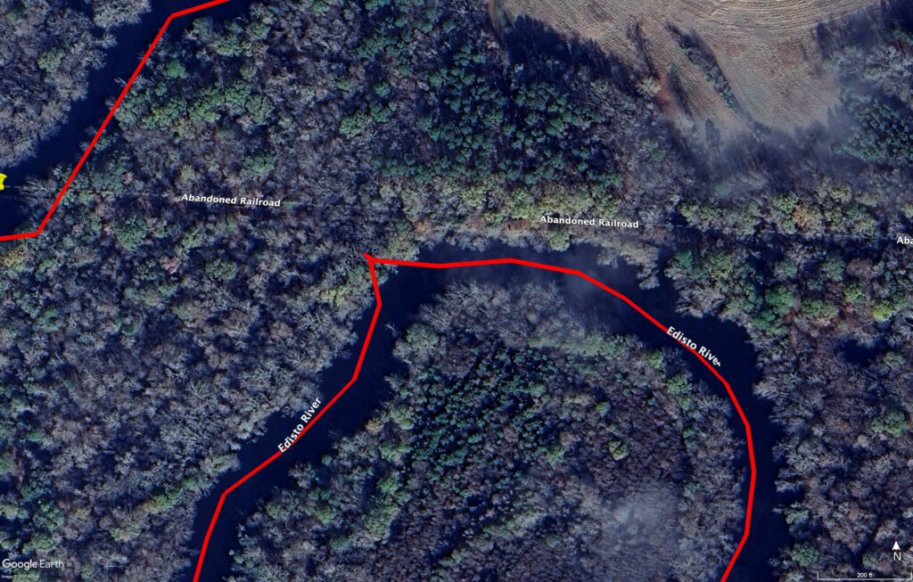
Just below the confluence with the south fork is an old railroad trestle.
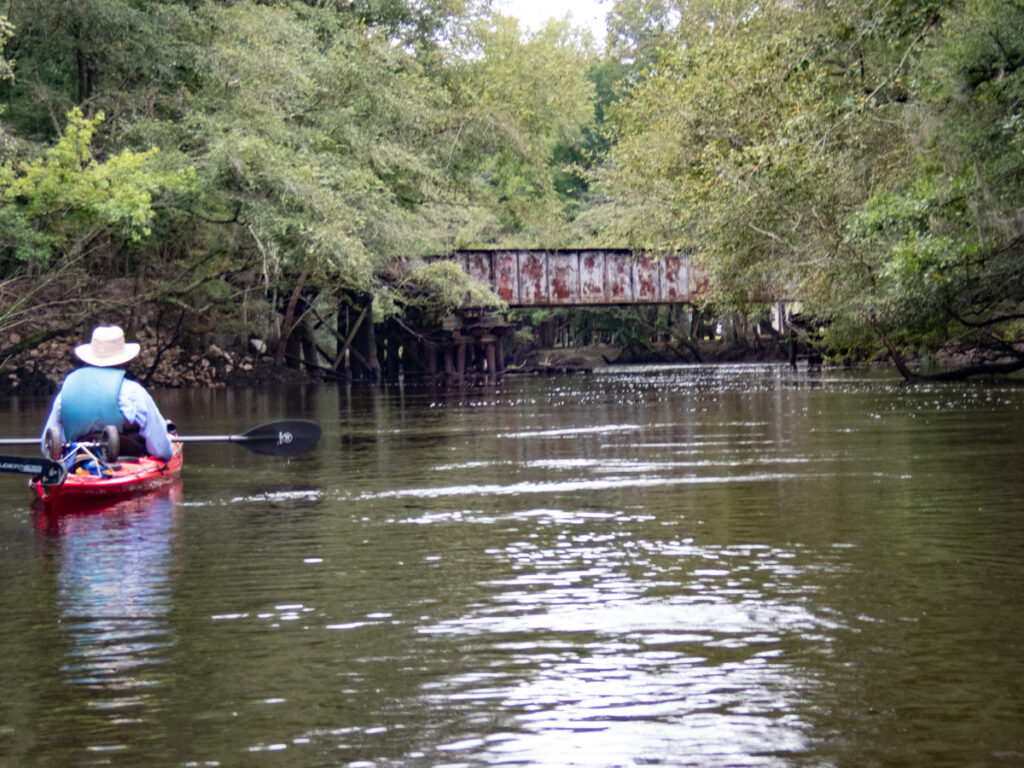
This trestle is part of the old Charleston to Hamburg route, one of the first railroad routes in North America. West of this location the railroad served Edisto Station, which later became the ghost town of Embree. I’m really hoping to do a podcast episode on that town.
Not far below the trestle we found a small cove and pulled into it. A longer trestle ran across the swampland. I’d never noticed this on previous paddles.
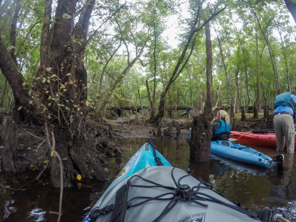
I stayed in my kayak, but George got out and took better photos. These are from his Facebook stream.
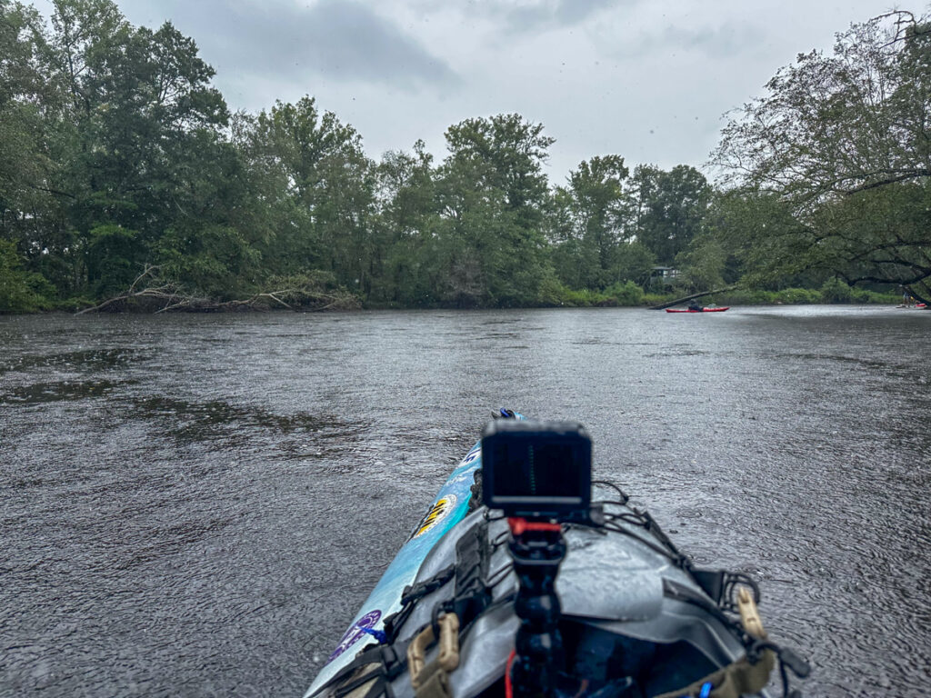
As we continued on the main stem of the river, the weather deteriorated. It sprinkled on us a little bit, then let up. We found us a nice beach/island and pulled up for lunch.
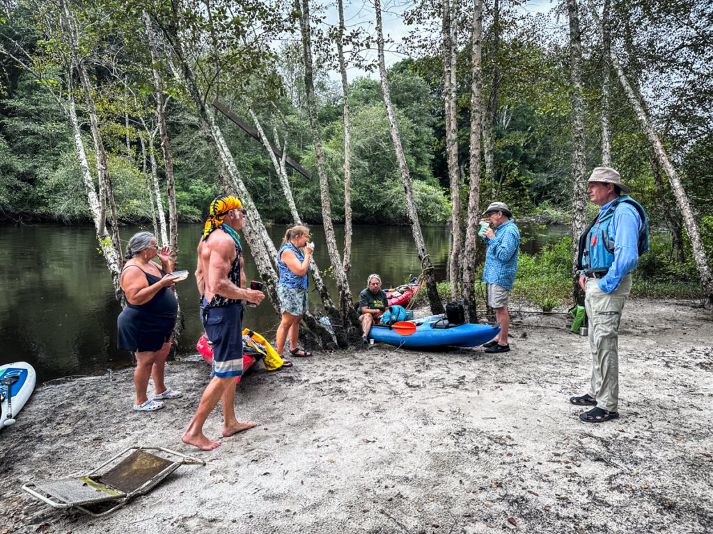
As has become tradition, I brought some of Ralph’s moonshine for a toast to the River Gods.
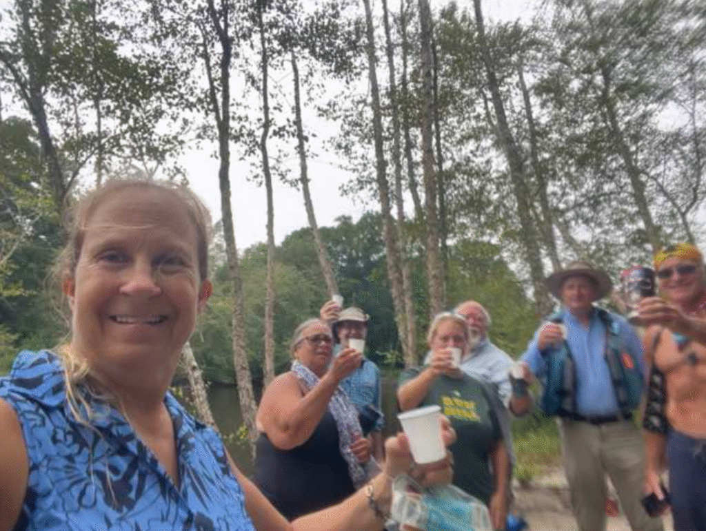
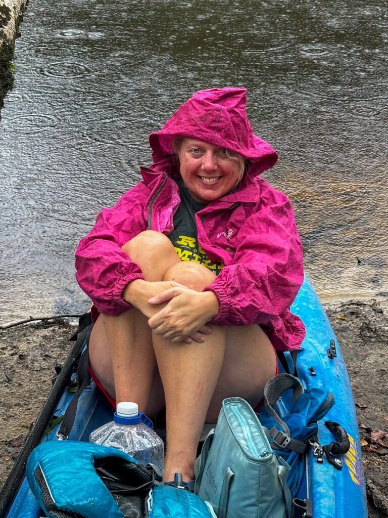
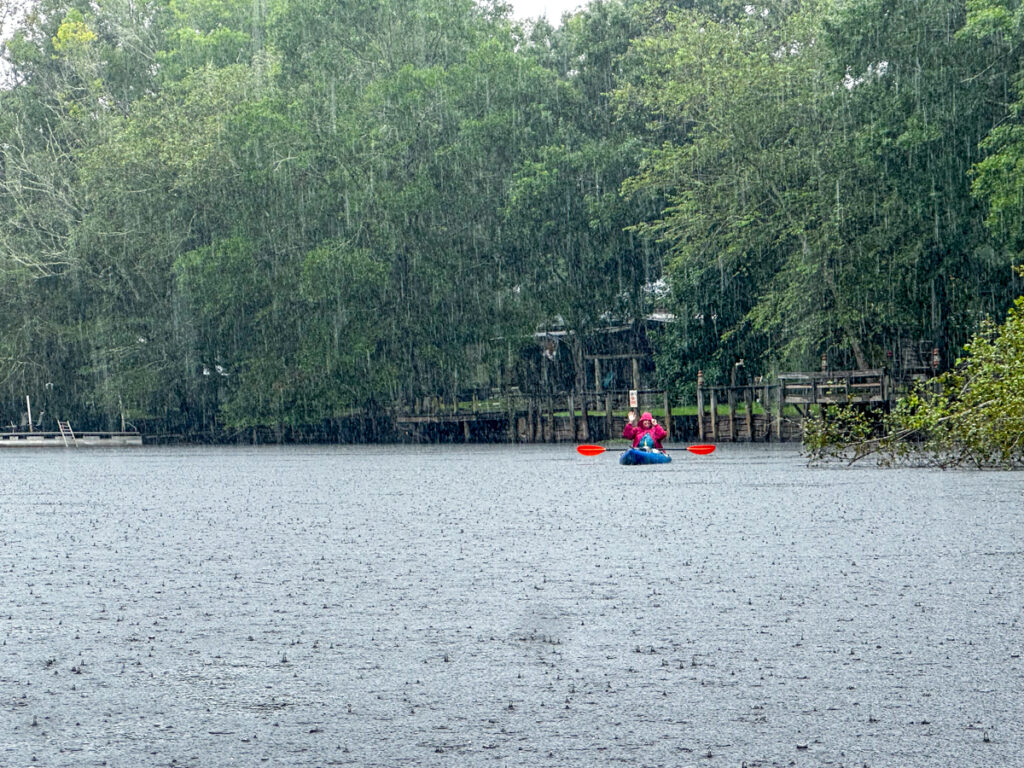
About the time we were getting packed up to leave it started raining in earnest. Since it had been so hot lately I didn’t bother packing my paddling jacket. Now I kind of wished I had it. Still, being chilly wasn’t too back compared to the sweltering heat of late. I actually don’t mind kayaking in the rain.
We reached the Highway 78 bridge, which gave some respite from the rain.
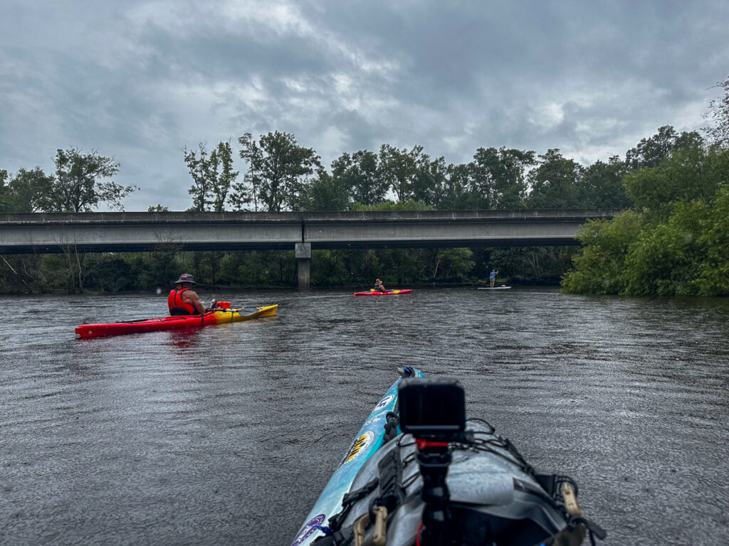
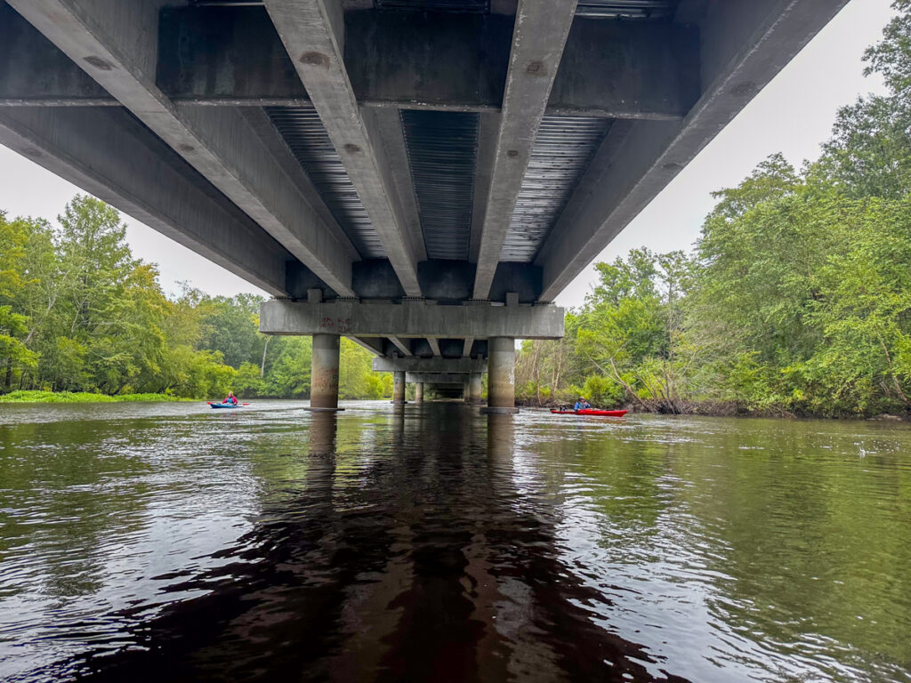
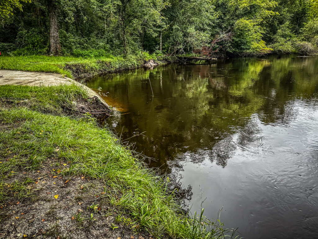
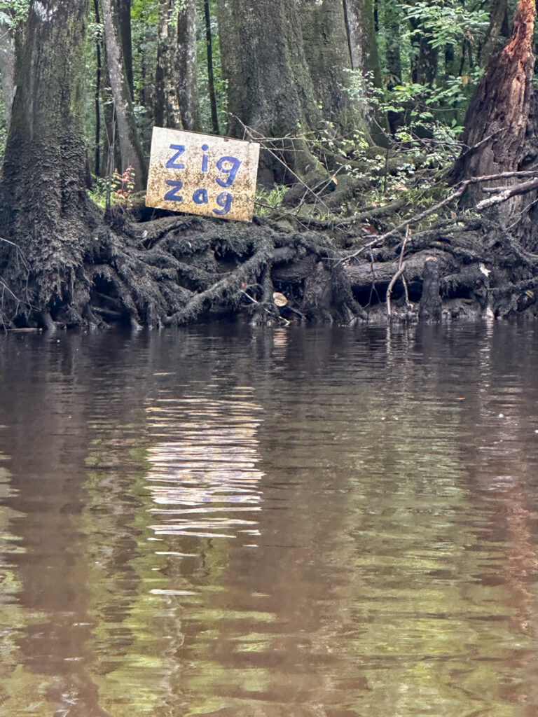
I had just paddled under this bridge earlier this summer with the South Fork group. About this time the rain let up. We continued on, and it wasn’t too long before we were at the entrance to the Zig Zag Landing. The landing is off of the main channel, so it’s easy to missed. Back June the water was so high that the sign was almost under water.

Fortunately, this time it was clearly marked.
We had paddled 10.7 miles on this trek. Of course I did a time lapse.
I made some new friends, and I was happy to finally be able to join this new group on an outing.
Continued on the next page…