
Tuesday, July 29, 2014
It was hot. Driving along Highway 101 the thermometer read over 100º. We had left the top up on the convertible, hoping to cool the car down a bit.
From San Francisco Highway 101 takes a more inland route than Highway 1 until it gets to Eureka. Highway 1 ends at Leggett, so it looked like our coastal road had ended. However…
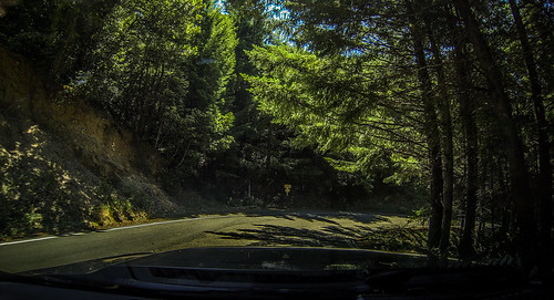
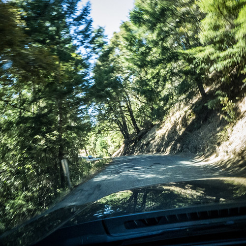
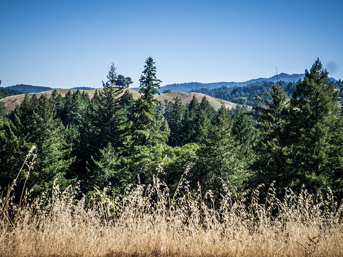
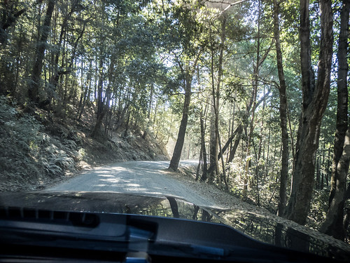
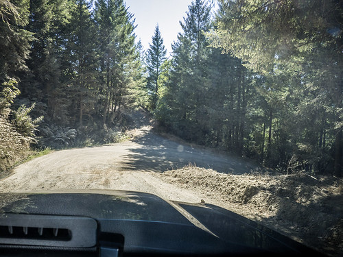
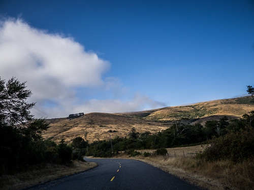
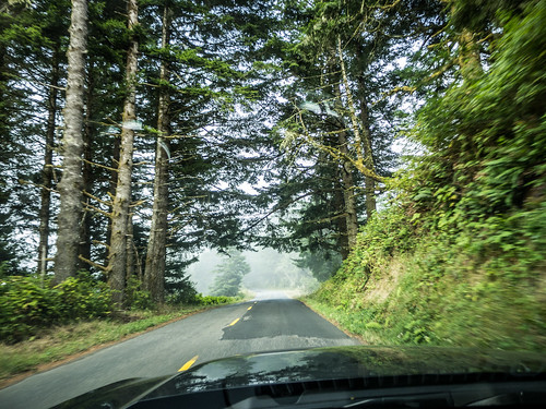
We had seen several smaller roads that got back over to the coast, so we decided to check those out. From Garberville we took a very small twisting and turning road up over the coastal range. The road ran for many miles, winding through more redwoods over some amazing switchbacks.
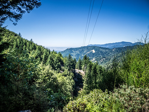
One thing we noticed was that the temperature was dropping drastically. As we topped the range and headed down toward the coast the temps reached the low 60s. By the time we reached the little town of Shelter Cove, it was down to 58º, a far cry from the 100º temps just an hour or so earlier.
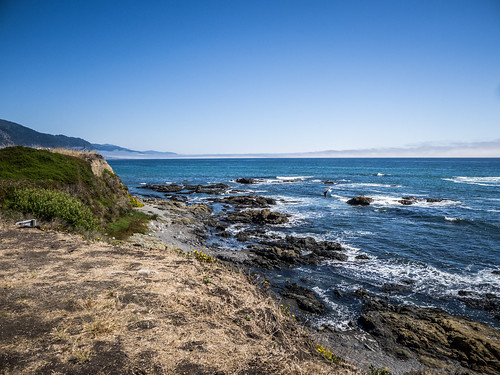
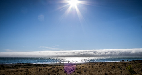
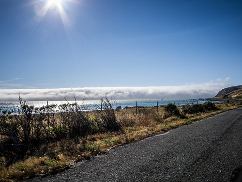
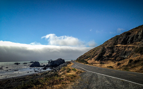
I use the term “town” loosely in describing Shelter Cove. There is a general store, several campgrounds, some residences, and a small fishing industry. There is even a small, but surprisingly well equipped airport. Even so, this is the only point of civilization along the 80+ mile stretch of coastline from where Highway 1 turns inland up to Hookton Channel on Humboldt Bay. The Cape Mendocino coastline is often called the “Lost Coast” because of its inaccessibility.
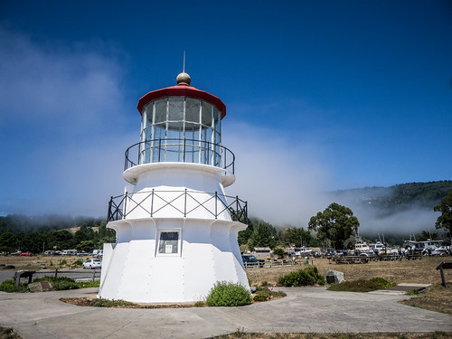
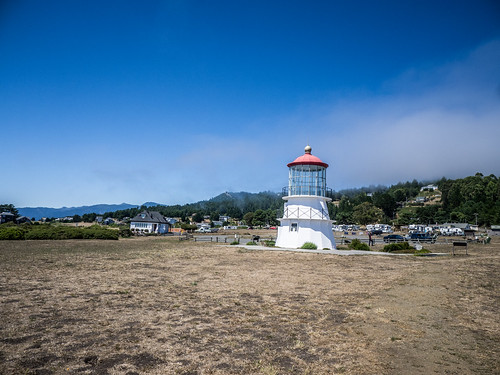
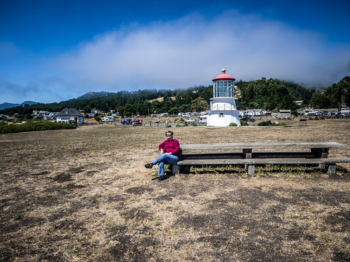
After the heat and tourist craziness of the inland redwoods, the cool breezes of Shelter Cove were a delight. We drove through the community until we spotted a small lighthouse.
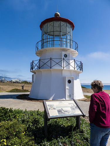

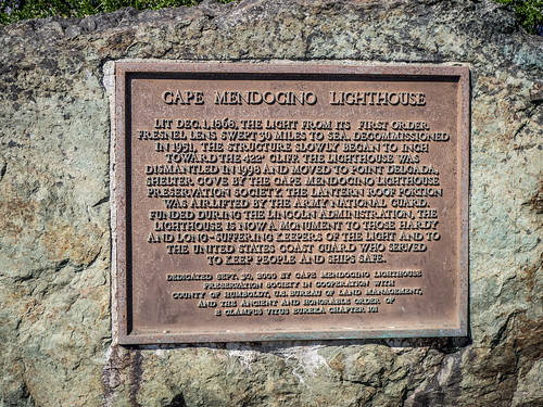
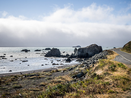
The Cape Mendocino light is short, but stands on a tall cliff. It was built in 1868 and featured a first order Fresnel lens. The light is no longer active, and we couldn’t get inside the light. This would be the first of many light houses on our west coast tour.
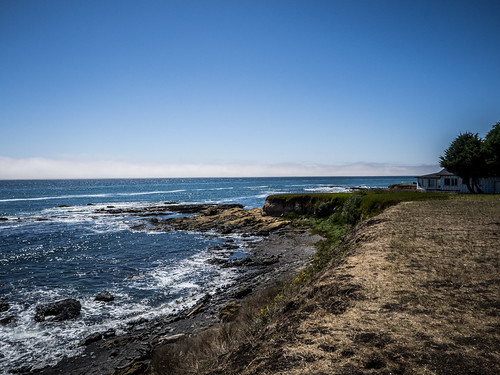
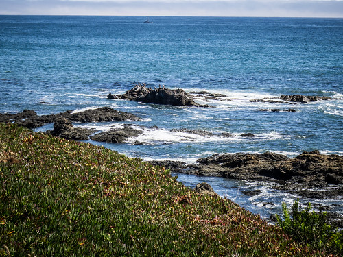
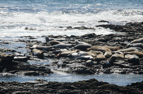
There was a path down to the beach, and a nice long picnic table overlooking the cliff. We decided to hang out there for a bit. The tide was coming in, and we watched sea lions playing in the surf.
From the large-scale map of California we were using it looked like there was a road that would take us from here to Eureka. Turns out that wasn’t the case at all. Shelter Cove is quite isolated. There was nothing we could do but backtrack.
There was, however, another option. It was risky, and we weren’t sure we (or the car) were up for it. A small road turned off toward the north, and would eventually take us back to the coast. We backtracked about 15 miles to the top of the range and turned onto Ettersburg Road, a tiny dirt road that twisted through the mountains even more than the previous tiny road we had been on.
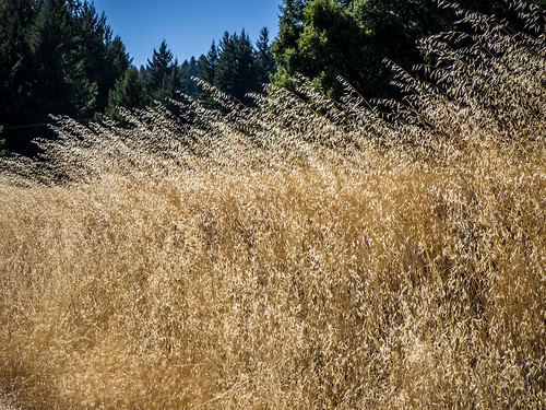
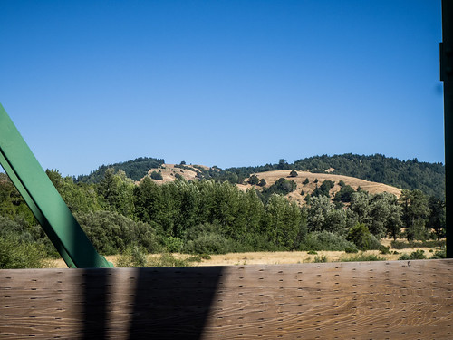
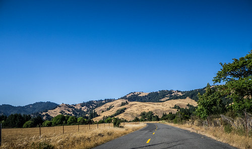
The road took us along cliff edges, through dense forests and through spectacular ranches covered with tall blonde grass. The scenery was amazing. However, keeping us safely on the road was taking most of my concentration.
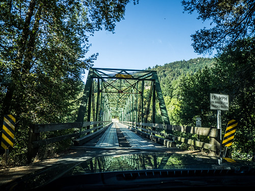
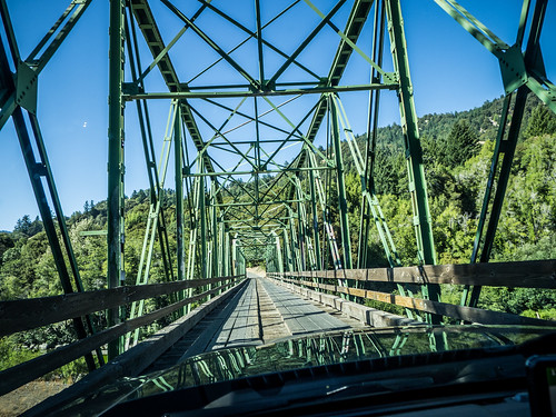
This twisting, turning road went on for about twenty miles or more, until we reached a valley and the little community of Honeydew. There was a general store and an old steel truss bridge across the Mattole River. The GPS want us to cross the bridge and take an even smaller road to get back to 101 to get to our hotel for the evening. However, we decided continue to the coast. Even so, we crossed the river and returned, just so that we could say that we did it.
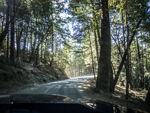
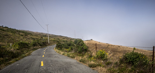
For the most part the road followed the valley of the Mattole River, and was somewhat paved. However, we had to ascend one ridge and the pavement gave out again. The switchbacks on this section were the toughest yet, but the little Mustang made it.
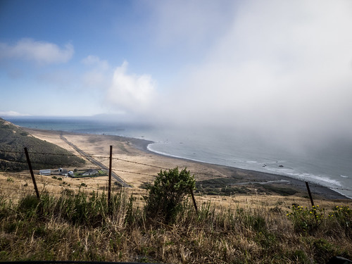
We dropped down into the community of Petrolia, which was the largest bit of civilization we had seen since Shelter Cove. About five miles past that we finally reached the coast.
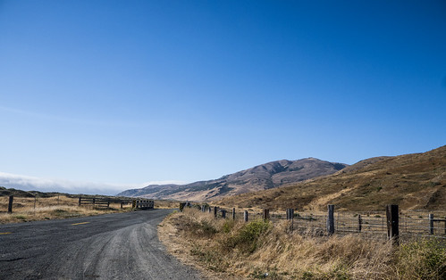
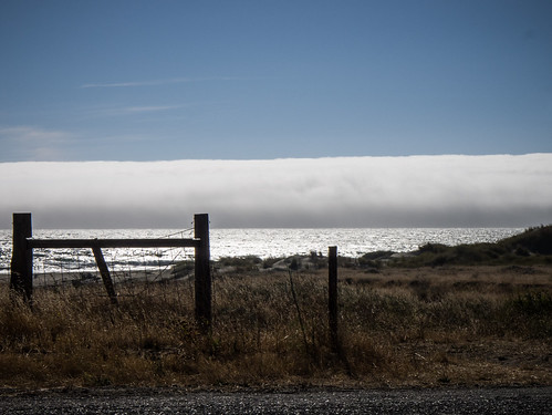
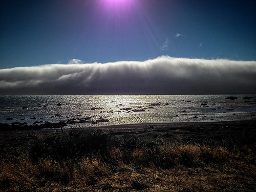
The term “Lost Coast” was certainly applicable here. Mattole Road runs along the coast for about eight miles, and there is absolutely nothing here except open ranch land. The fog was hovering just off the coast, and gave everything an eerie end-of-the-world appearance.
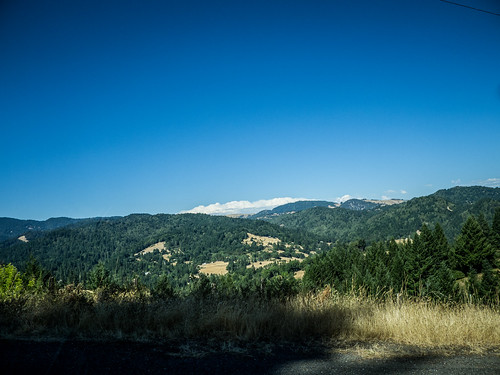
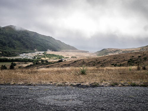
The road turned up a valley and away from the coast. As it ascended the hill we drove through the building fog. The road remained paved, but was still a tiny twisting thing as it ascended the hills through the beautiful ranch land along the coast. Occasionally we would catch views of the ocean through the fog. I’m sure that on a clear day the views here would be breathtaking.
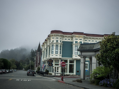
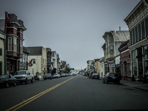
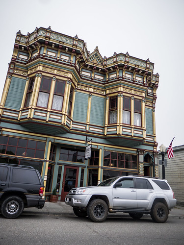
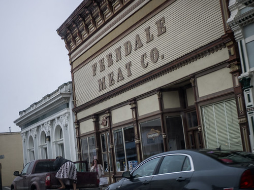
We descended through more redwoods and Douglas firs, then reached the town of Ferndale. This was by far the biggest town we had seen all day. The streets were lined with buildings done up in Victorian filigree. Apparently lumber barons had built the town, and had spared no expense in architecture. It would have been nice to pause and explore, but we needed to keep going.
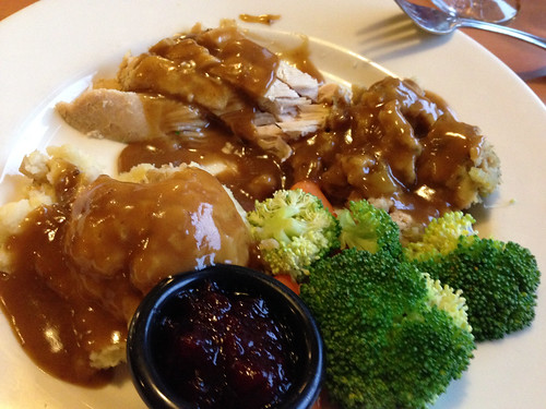
Eventually we made it to Eureka and got checked into our hotel. On the way in Laura had spotted a Marie Calendar’s restaurant. This west coast chain has memories for her, so we headed back for a meal of comfort food. Food service brown gravy over turkey turned out to be quite tasty, albeit laden with calories.
Enjoying your updates. Beautiful country, but as you say, never enough time to see it all.