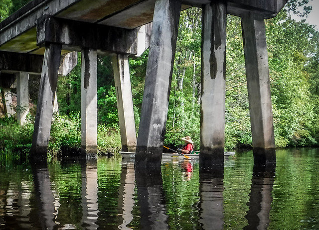
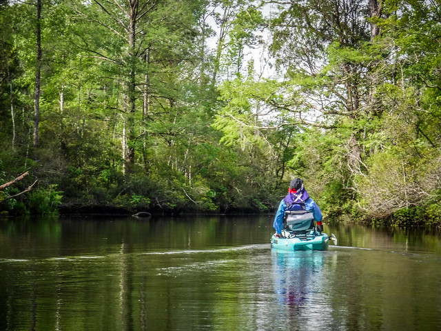
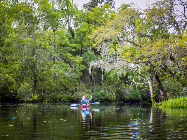
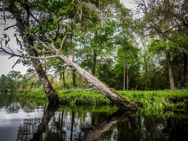
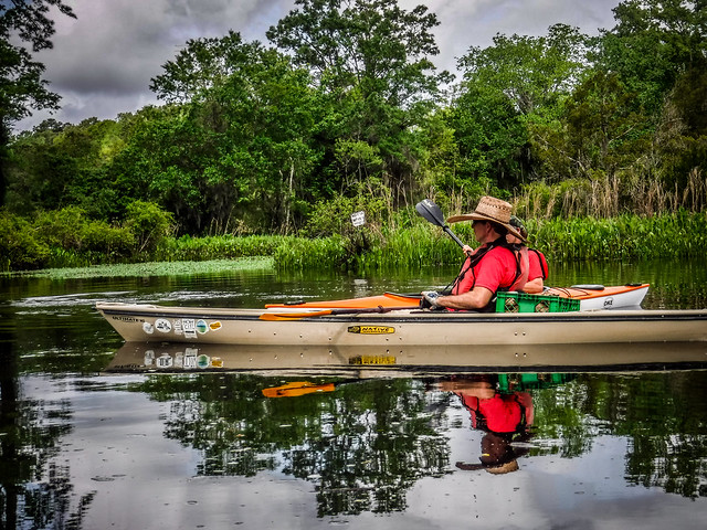
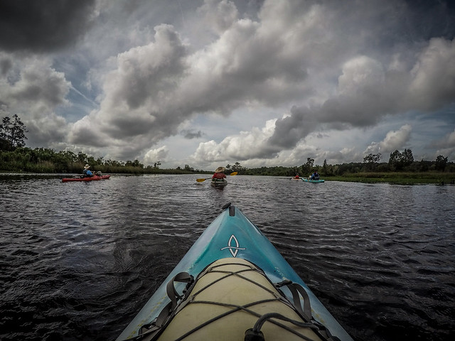
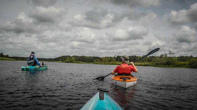
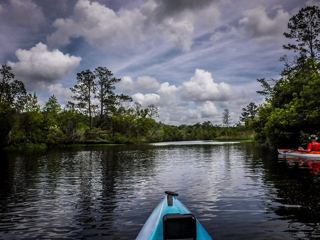
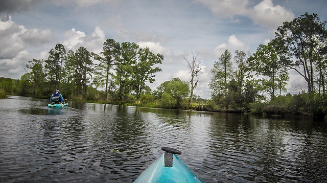
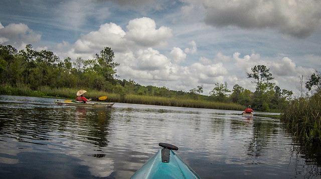
I have missed our Second Saturday trips with Lowcountry Unfiltered. For one reason or another we’ve had conflicts with trips, or the weather wasn’t right, or the plans just fell through. It was great to get back together with the guys. This time we ventured into the Land of Unpronounceable Names in the heart of Berkeley County with a kayak trek from Huger Creek to Cooper River, a stop at the historic Pompion Hill Chapel, then back along the Cooper to Quinby Creek.
Fitting this trip into my crazy schedule was a challenge. This was Chorale Concert Week, as well as the start of Holy Week, now that I’m a church musician. Fortunately, our concert was on a Friday instead of its usual Saturday, so I had the day available. But that meant we had to drive down early in the morning. I would be traveling with fellow paddler Jim Leavell, who had also attended the Friday night concert. We loaded our gear Friday afternoon before the concert so we could make an early getaway.
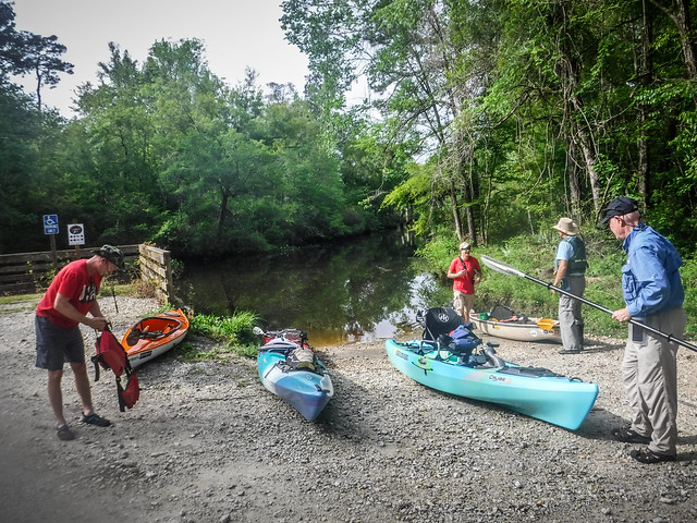
The rest of the group planned to meet at Howard’s Restaurant in Monck’s Corner at 7:30. That would mean a 4:30 am departure for us. Jim and I agreed to sleep in an extra hour and just join the guys at our launch site, the Huger Creek Recreation Area in the Francis Marion National Forest.
There was supposed to be bad weather in the Upstate, but partly cloudy at our destination. We drive through one heavy rain shower, then a light mist. By the time we reached the Lowcountry the weather was clearing out. After a couple of missteps we made it to the landing at the Huger Bridge Recreation Area. Along the way we passed several large pelotons taking part in the Coastal Cyclists Spring Century Ride. Fortunately, they were headed in the opposite direction, so we didn’t get trapped behind them. As it was, we were delayed as we helped a couple of guys jump-start their old SUV. We were only 30 minutes late, which is actually early for these guys.
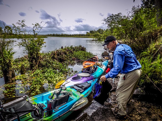
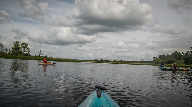
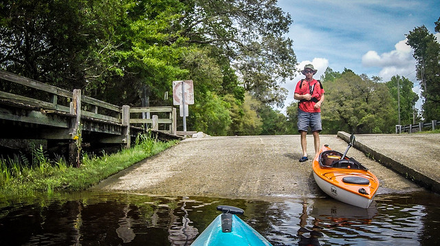
Joining us from the Lowcountry was Matt Richardson and Jimmy Steinmetz. A new paddler, George, rounded out our group of five. George and Matt were running the shuttle as Jim and I pulled in. We started unloading boats and gear.
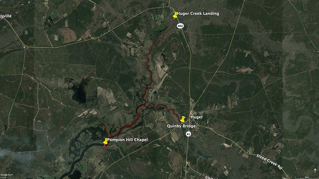
The plan was to follow a paddling trail Matt had spotted on the SC Trails website. It’s listed as a 4.1 mile easy paddle with a take-out at the Quinby Creek Bridge. Here’s a map from the Berkely County Blueways website:
We would be adding another couple of miles beyond the creek confluence down the Cooper River to Pompion Hill. Our route would take us through creek swamps and past old rice plantations.
I had visited Huger Bridge (pronounced YOO-gee) several times and had looked longingly at the creek. The artesian spring fascinated me, seen in this photo from 2013.
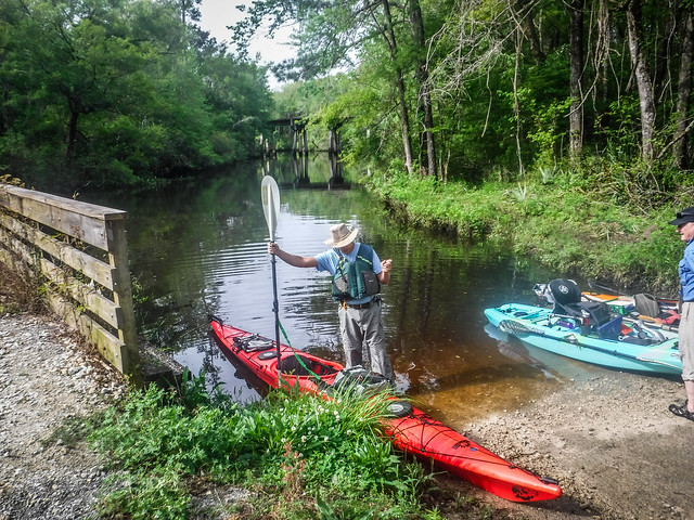
Now I was finally getting to paddle the creek, and it looked like the perfect day – some clouds, but warm. We set out just as a train approached the trestle downstream from the ramp.
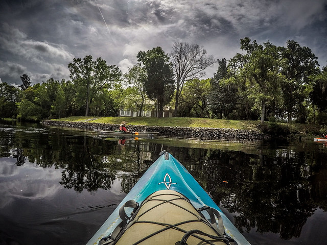
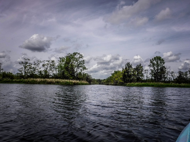
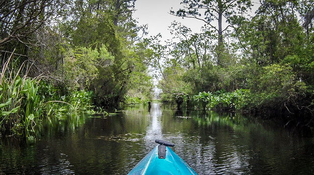
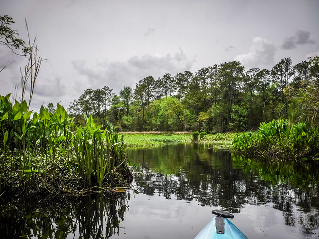
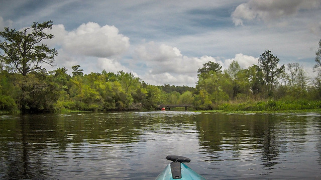
Spring seemed further along here than in the Upstate. The banks were lined with wild azaleas and purple irises and the trees looked a more lush shade of green. The creek was wide enough for small boats, but narrow enough to provide some canopy.
We passed by Limerick Plantation, Rice Hope Plantation, and the location of Silk Hope Plantation. About a mile into the trip Gough Creek joined Huger from the north. It was tempting to explore, but since we had a tide schedule to follow we didn’t follow our usual modus operandi of checking out every tributary.
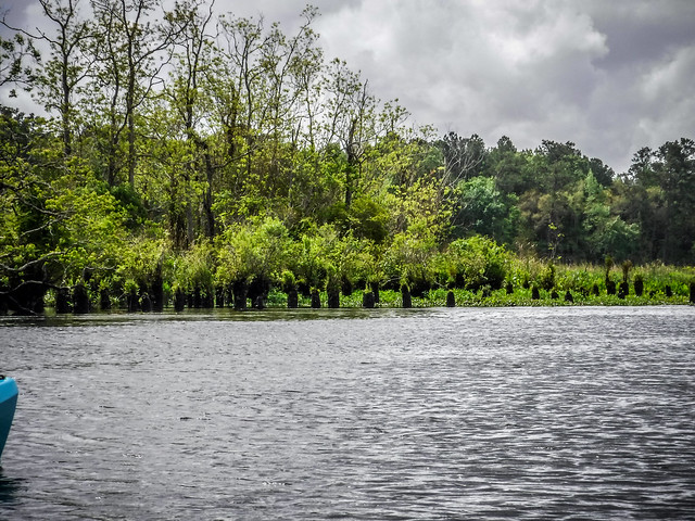
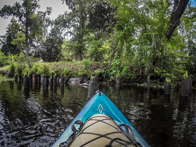
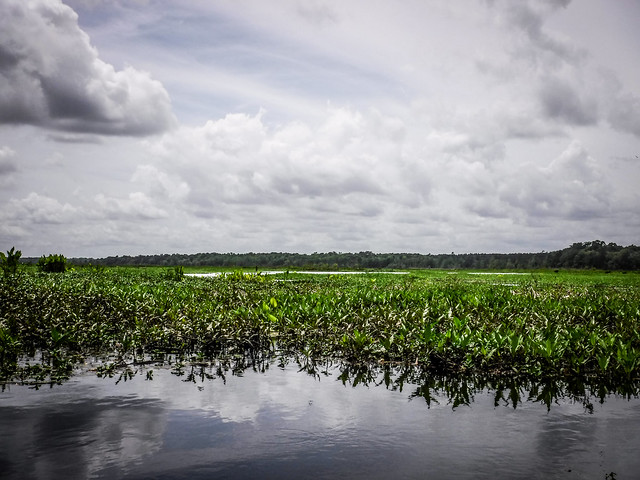
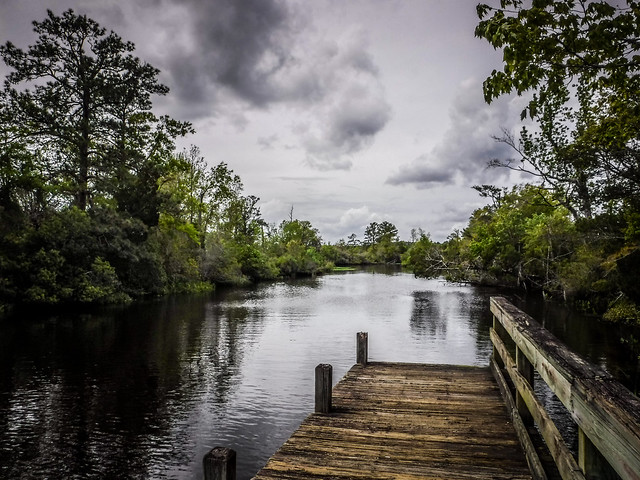
As we approached the confluence with Quinby Creek, Huger Creek widened and the tree canopy receded beyond former rice fields. We explored a couple of side channels and noticed old pilings lining the route. These must have been docks for the former plantations, or they may have had something to do with flood control for the fields.
Quinby Creek and Huger Creek come together to form the eastern branch of the Cooper River. The western branch flows northward toward Moncks Corner and the Old Santee Canal. Silk Hope Plantation sits at the point bounded by the creeks. Now occupied by a more modern home, Silk Hope was the home of Sir Nathaniel Johnson, who settled in the area in 1683 and served as colonial governor of South Carolina from 1702 to 1709.
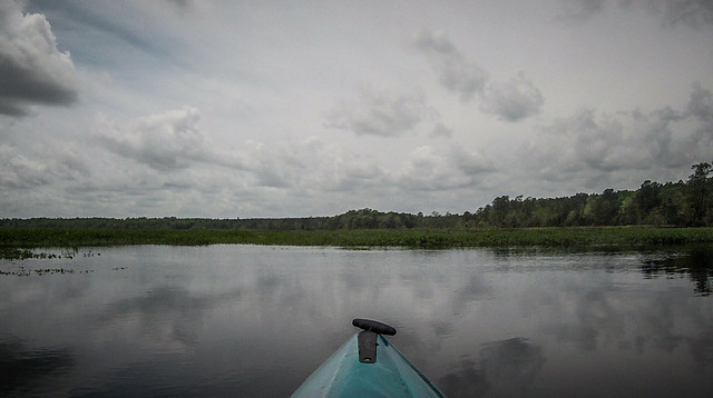
The Cooper River widened further, with hammock islands lining the banks and old waterways just beyond.
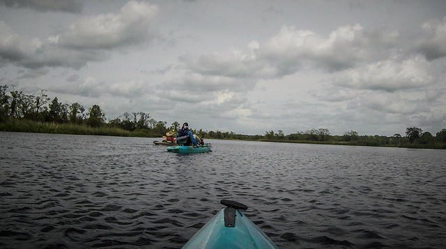
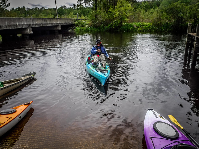
We were paddling against wind and tide, but it wasn’t too bad. I’d rather paddle against the current now than on the way back when I’m tired. The wind really bother Jim, who sits up much higher in his pedal kayak.
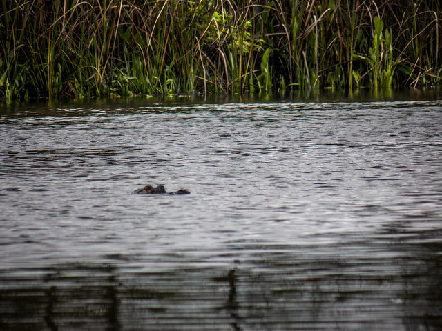
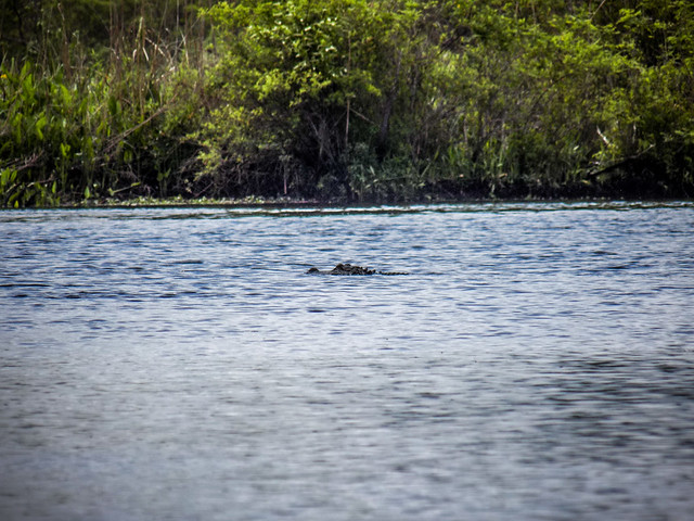
Severals small fishing boats came cruising by and kicking up wake. Every now and then a small alligator would drop by to say hello.
George apparently had another engagement and turned back before we got too far down the Cooper. It’s a shame. We were almost within sight of the chapel. We always try to tell folks that if they have any kind of conflict they should wait for another trip. We can’t guarantee that we’ll make it back by a given time.
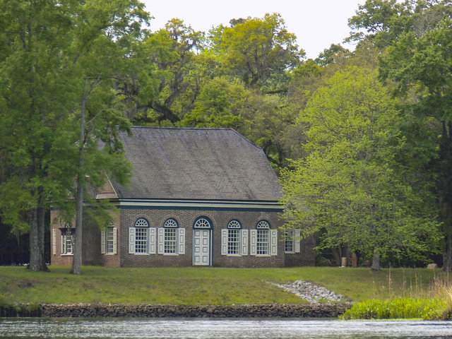
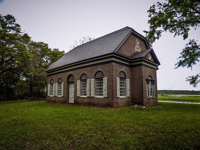
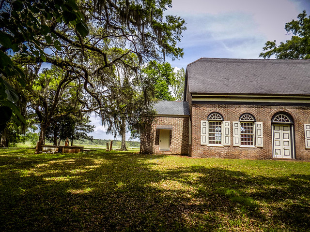
Soon I could spot the slate roof of Pompion Hill Chapel through the trees, and before we knew it we were approaching the chapel. There was a large open area of manicured grass east of the chapel. The chapel itself had nice grounds, a small cemetery, and a border of riprap along the river.
We searched for a place to land and found a spot just beyond the chapel behind a row of old pilings. Our guess was that this might have been an old dock where plantation owner parishioners pulled up boats to attend services.
Once landed we hauled up our lunch supplies and cameras and began exploring the chapel and grounds.
Like Huger, Pompion isn’t pronounced as you would think. The correct pronunciation is “punkin” and the name is an old French word for pumpkin. My first thought was, “Why not just name it Pumpkin Hill?” There is a reason for the name, though.
Pompion Hill Chapel was established by French Huguenot settlers in the 1680s. The first chapel, constructed from cypress logs, was built in 1703. The Church Act of 1705 established the Church of England as the official church of the Carolinas. Colonists were not allowed to hold office unless they were a member of the Anglican Church. At that time Pompion Hill became a “chapel of ease” for the St. Thomas Parish, and was the first Anglican place of worship outside of Charleston.
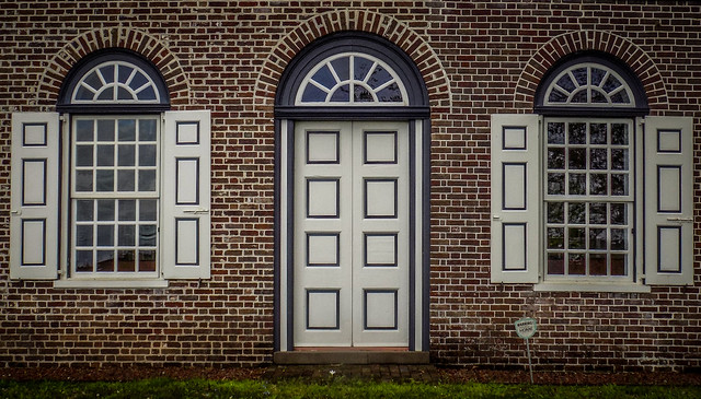
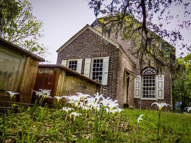
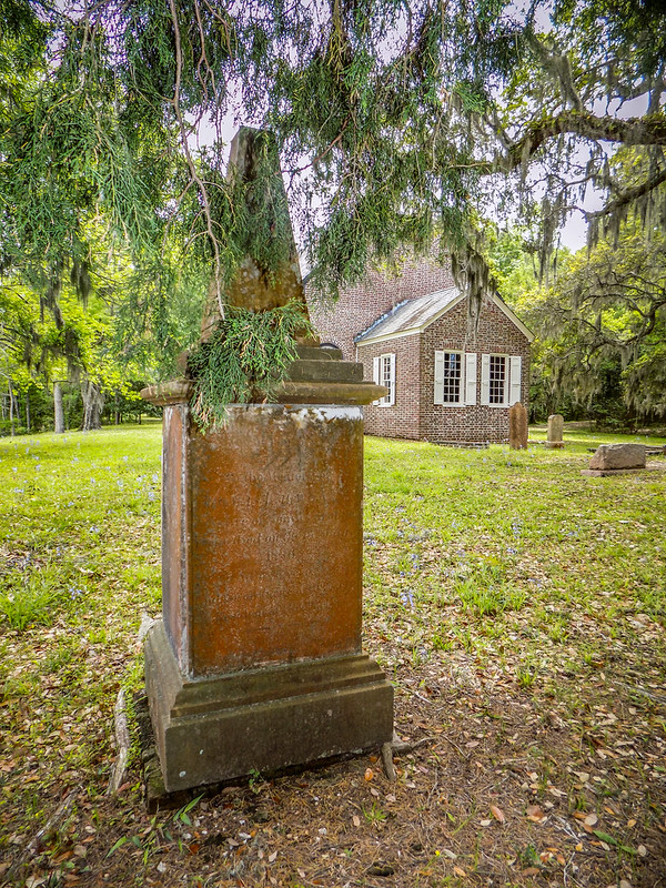
The current brick chapel was built in 1763. It’s a simple, rectangular building with doors on either side and windows with views out over the Cooper River.
The chapel is on the National Register of Historic Places and remains very much as it was in the 18th and 19th Centuries. Here are views of the chapel in 1938 and in 1969.
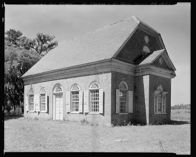
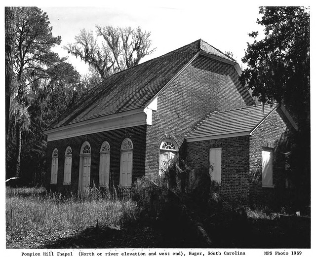
In 1940 a slate roof was added to the chapel. The heavier roof, along with foundation settling, caused some architectural cracking in the structure. Engineer Craig Bennet from Glenn Keyes Architects was about to reinforce the roof truss and correct the foundation issues. Dr. Susan Buck conducted a forensic paint analysis and discovered that the original paint scheme had been off-white with dark gray outlines.
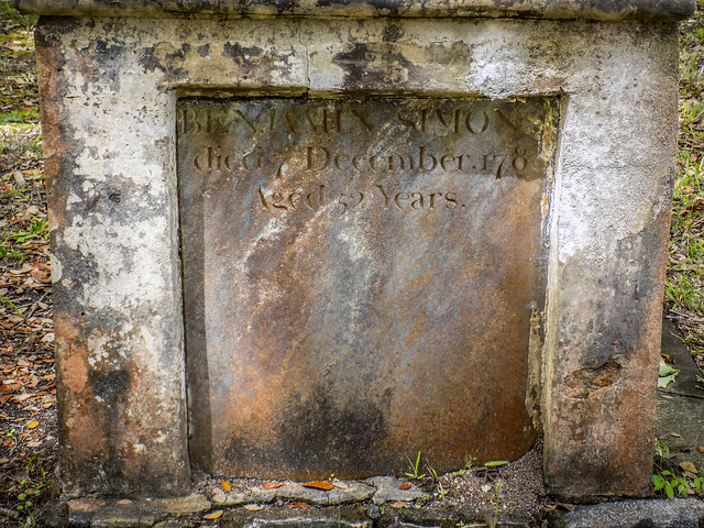
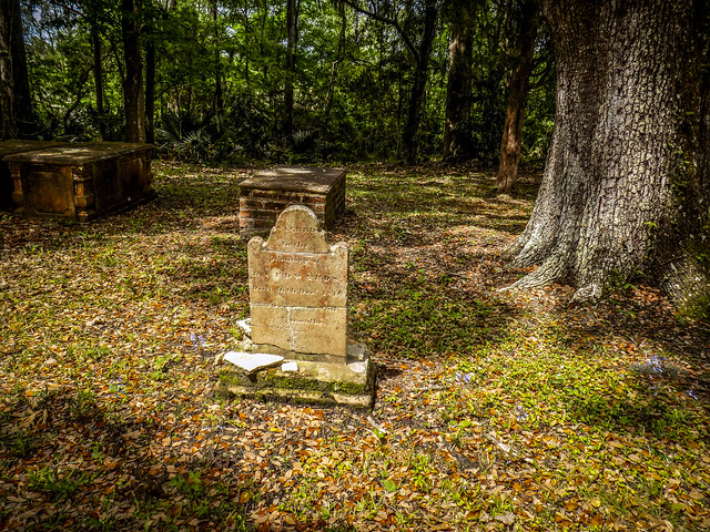
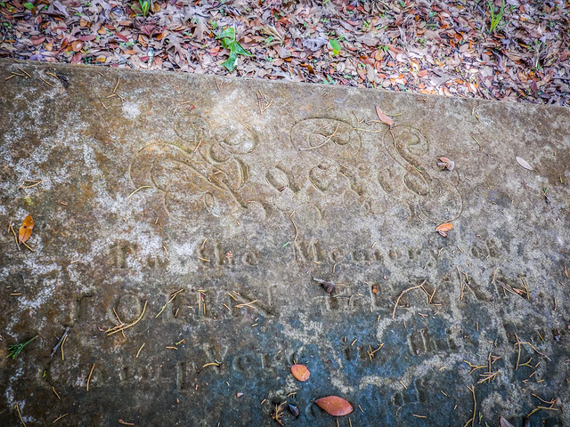
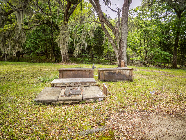
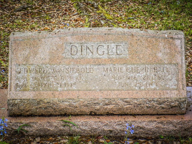
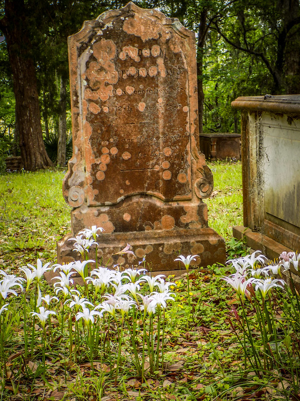
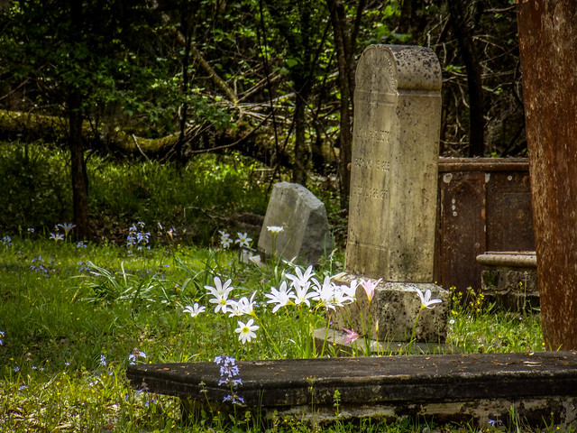
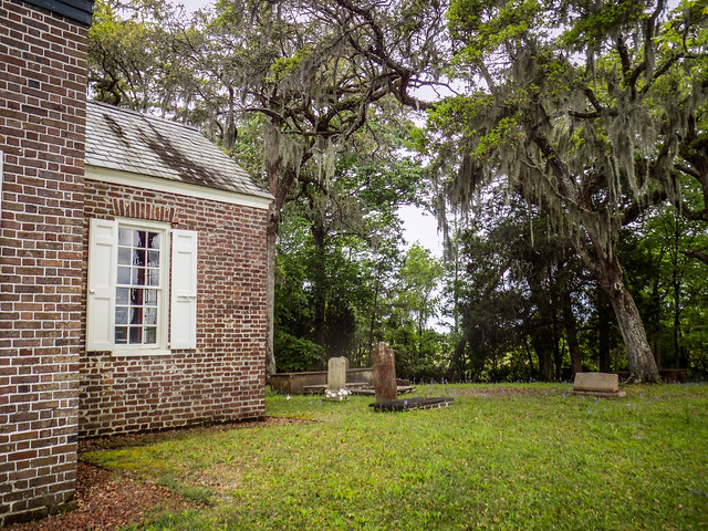
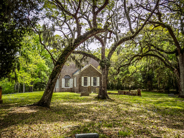
Our first order of business was to check out the small cemetery. There were only a few headstones, ranging from old vaults and hipped stones to a couple of modern interments. Find-a-grave lists 54 burials, but there certainly weren’t that many stones. I read on one genealogy site that some burials are under the chapel, perhaps in the style of some English churches, but I saw no indication inside and I haven’t found any other confirmation. I’m sure there are unmarked graves in the yard.
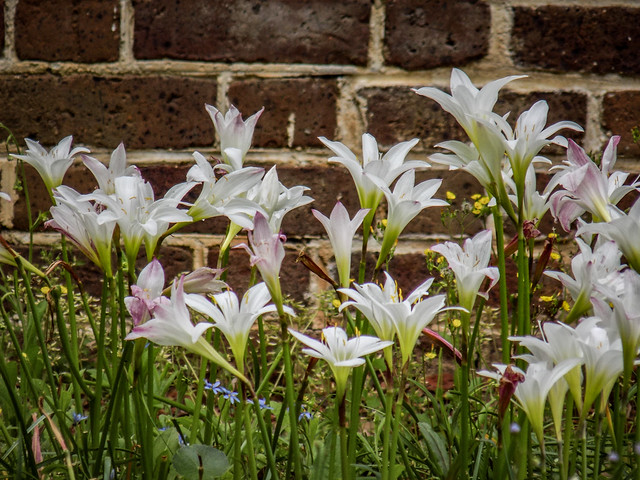
Naturalized lilies were in bloom over some of the graves and in other locations round the chapel.
The clouds and sunlight were perfect, and it was hard not to take a ton of photos. The little chapel was photogenic from just about every angle.
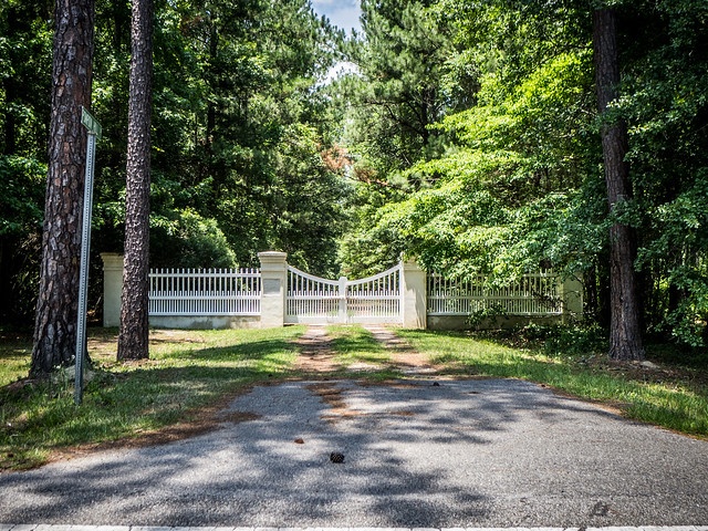
Leading away from the church was a long, canopied dirt road. I had only seen the closed gate on Cainhoy Road on previous visits.
Matt said that his family parked there and hiked down the lane to the church once before.
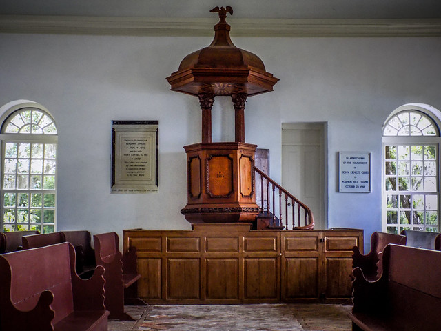
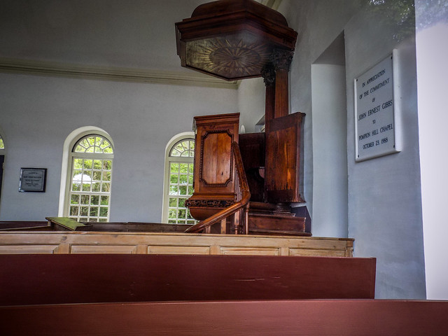
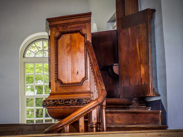
The doors were locked so we couldn’t go inside. The window glass, as one might imagine was quite old and rippled. I was still able to get some photos through the windows. The church has the original raised pulpit and benches from when it was an active chapel.
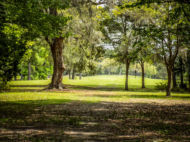
To the east an open space beckoned. In Google Earth it looks like this is still part of the chapel property. Another dirt road leads through this area and out to Cainhoy Road.
The view from the chapel is astounding, and we were surprised that there wasn’t a wedding or something happening. It seems like a perfect venue.
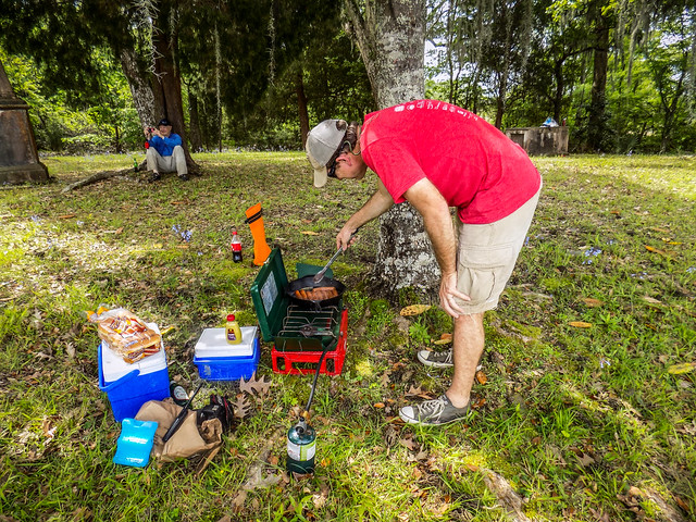
We were getting hungry and it was time for lunch. Matt set up the grill and made a devastating realization. He had forgotten the sauerkraut. So, it wasn’t going to be a perfect day after all. Jimmy’s comment was, “It’s not like Matt to forget a condiment!” Yet, sauerkraut is much, much more than a condiment. The bratwurst and buns were adequate to ease our hunger, be we derived pleasure from giving Matt grief about it.
As we relaxed for a bit several fishing boats passed by. Most of these were smaller johnboats with motors, but there were some larger boats. Some of them stopped to chat a bit. Folks always seem surprised that we’re out on the water but not fishing. To them, that seems to be a prerequisite. Why else would you be on the river? Lots of reasons.
Time came for us to head on back. We loaded then launched, trying to avoid the increasing number of fishing boats.
My new GPS has “Bird’s Eye” imagery enable, similar to Google Earth. I had spotted a long straight canal leading into the rice fields. I thought we should check it out. It was long and straight, as advertised, with breaks leading off into the fields. Some of the breaks had views back over toward Pompion
The canal led back into an intriguing creek and there were large pools to explore to the right and left. However, once again we had tides to consider. These are tidal creeks and we didn’t want to get left high and dry. We paddled back along the canal to the Cooper. There we had the wind and tide with us.
We made good time with the current, and occasionally dodging the wayward fishing boat. We were getting tired, but it wasn’t bad. Soon we were at the turn off for Quinby Creek. This branch would be shorter than the Huger branch.
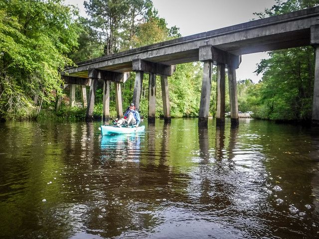
Soon we were in view of Quinby Bridge. Jimmy broke into a sprint, with me not far behind him.
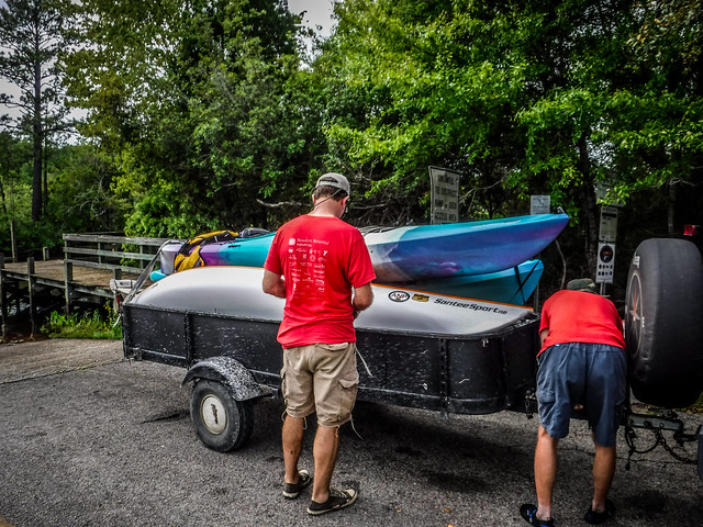
We landed, caught our breaths, and loaded the boats into Matt’s trailer for the shuttle back.
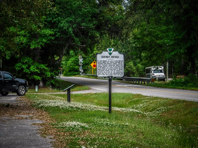
Quinby Creek (alternately Quenby or Quemby), was the site of a US loss in the Revolutionary War. US forces under General Thomas Sumter were pursuing British forces under Colonel John Coates. Coates forces crossed Quinby Bridge and began removing bridge slats. Sumter decided to proceed across the bridge, against the advice of Francis Marion. The setback made Marion vow to never serve under Sumter again. Fortunately the war was nearly over.
As for the kayak trip, we paddled 8.26 miles, according to Google Earth.
Of course I made a time-lapse:
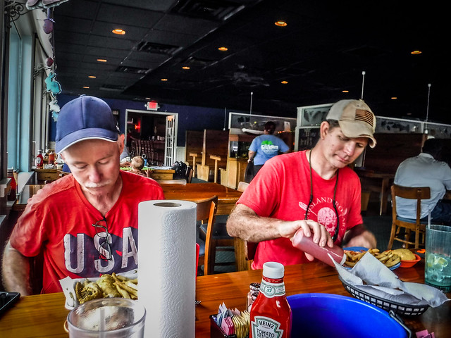
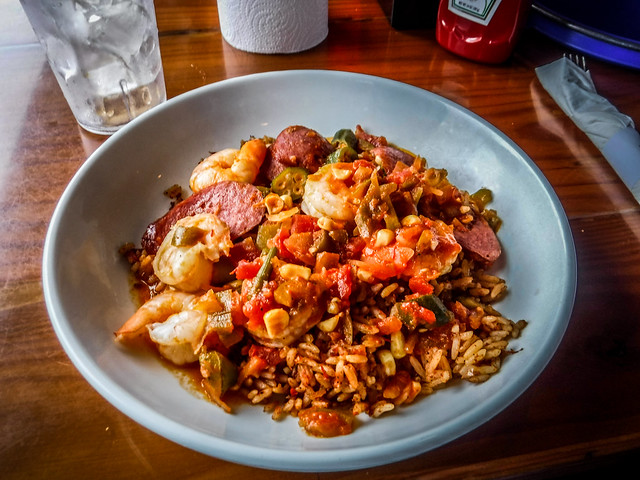
Our day wasn’t quite over, though. We looked for a good BBQ place for a post-paddling repast, but decided on Gilligan’s, overlooking the Tail Race Canal. The seafood gumbo was excellent.
It was a great day paddling through history. There are other areas along the Berkeley Blueways that I’d love to explore, including the upper reaches of Gough Creek and further upstream on Huger and Quinby. Maybe next time.
