
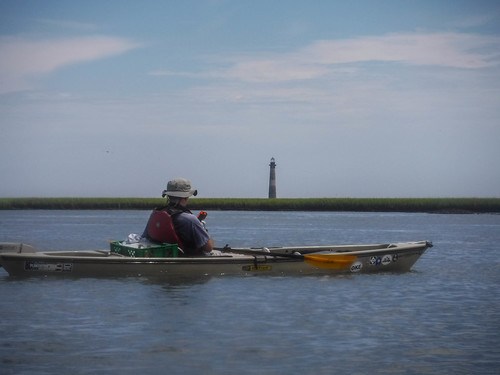
We made it back to South Carolina in time for me to join my Lowcountry Unfiltered friends on their Second Saturday paddling trip. In Washington when we were packing for the return trip I made sure that the gear I’d need would be available for this trek, so when the time came I was ready. For this trip we would be paddling out to the Morris Island Lighthouse in the Charleston Harbor.
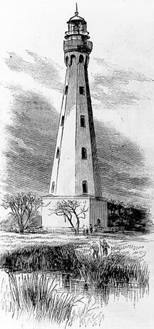
The Morris Island Light has a long history. The first lighthouse was constructed in 1767, the same year that my great-great-great-great-great grandfather William Taylor landed in Charleston. At that time there were three small islands, with Morris Island the largest in the middle of the three. This light was an octagonal brick structure, as seen in this sketch from a US Coast Guard collection.
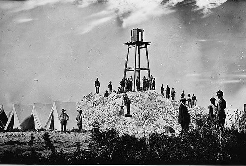
This lighthouse was replaced by a more modern structure with a revolving light in 1837. The three islands had merged into a single, larger, Morris Island, and the new light was built closer to the middle of the island. That second lighthouse was destroyed in the Civil War in 1861 by Confederate troops. A smaller watch tower was constructed by Union troops on the remains of the second light.
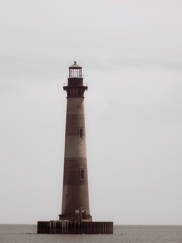
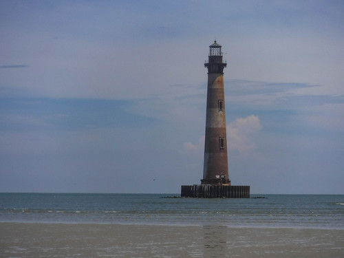
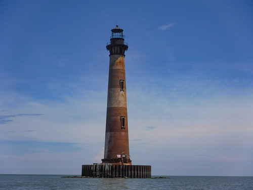
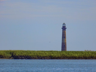
The third building, the present Morris Island Lighthouse, was built in 1876 on the south end of the island on top of the 1767 tower remains. It is a conical brick tower 150 feet tall. The current lighthouse is on the National Register of Historic Places. According to the nomination form for this listing…
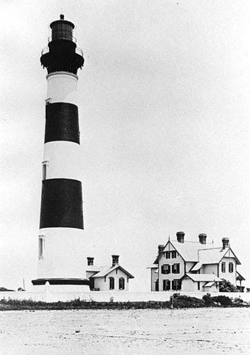
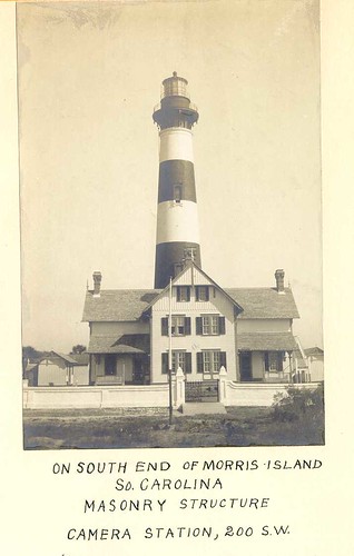
At the same time the lighthouse was constructed, houses and outbuildings to accommodate the light keepers were also built. Nautical maps from the late 1800s show at least fifteen buildings, which included three Italianate keepers’ residences, on the island, which had become a virtually self-sufficient community. The residents kept a garden, chickens, and pigs. There was a one-room school whose teacher arrived the first of each week by boat and returned to Charleston each weekend. A boardwalk system facilitated travel, and well into this century, a car was imported for traversing the island.
Originally the lighthouse was 1200 feet from the water and surrounded by buildings, as seen in these early photographs.
In 1939 jetties were removed and changes were made to the Charleston Harbor. Erosion increased along Morris Island, and by the 1960s the lighthouse was cut off from the island. In 1989 Hurricane Hugo destroyed the remains of the support buildings that hadn’t already been removed by erosion. In 1999 efforts were begun to save the lighthouse, and in 2000 the structure was transferred to the state’s Department of Natural Resources. By 2010 the base of the lighthouse had been stabilized against further erosion with a concrete ring and pilings.
As for our trip, we would be paddling from the Folly Beach Bridge through the tidal marshes to reach the island. We would have to time our trip perfectly so that we could catch the outgoing tides on the way out and incoming on the return. Even with the tides in our favor it would be a long haul. If we missed the tides, it would be brutal.
I got up early and headed down to Charleston. Having just driven 3000 miles I was keen on another long road trip, but I have really missed these expeditions. I got to the coordinates Matt sent and found a problem. The original launch site had “No Trespassing” signs and was pretty much blocked off. After a bit of readjusting, we met at the public boat ramp on the Folly Beach side of the second bridge.
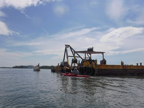
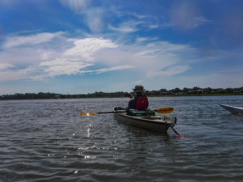
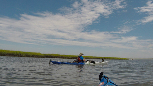
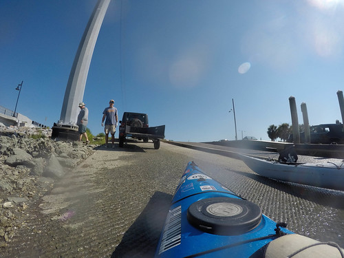
The boat ramp was hopping. There were only a few slots for single vehicles and a Folly Beach police officer was writing tickets for any that were parked in long trailer spaces. I asked, and he said that we couldn’t even double-stack park. Matt and Brian arrive, each with a trailer behind their vehicles. They were OK. Tim and I, though, were stuck. We circled until a couple of spaces opened up. Finally we had all boats off-loaded and the four of us were ready to launch.
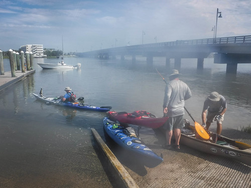
With all of the hassle of parking, etc., etc, it was 10:30 before we got onto the water. Supposedly the tides would still be with us, but it sure didn’t seem like it. Regardless, it was blazing hot. I guess I have to get used to this heat now that I’m back in South Carolina. Regardless, it felt good to be back on the water.
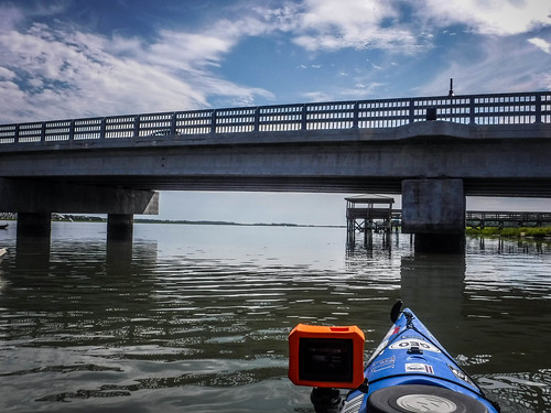
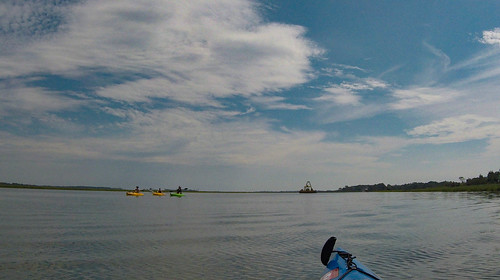
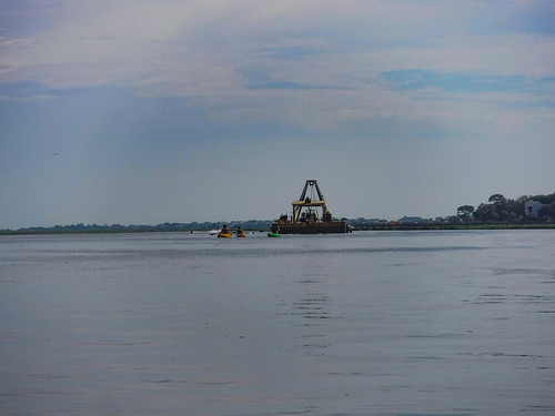
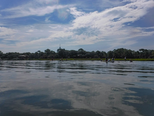
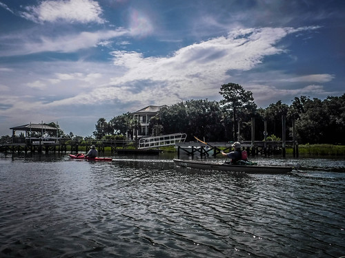
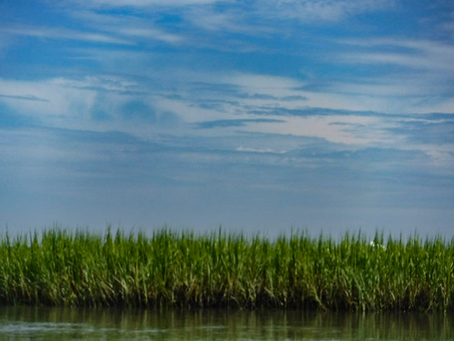
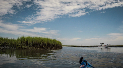
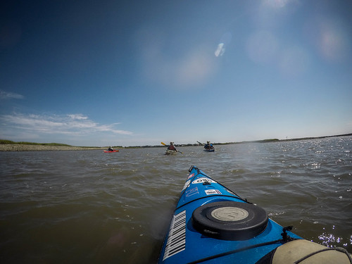
Our route zig-zagged through salt marshes. Within a mile or so of the bridge we passed several other kayakers and a group of SUPers. Boat traffic was also heavy on the river. We admired the palatial homes on the west side of Folly.
We were still unsure of the tide. It seemed we were fighting against it, and we gave Matt grief about being off on the timing. However, we reached a point where a major tributary entered the river and there were ripples indicating a current changed. Brian said that this was a tidal node. On one side the tide flows to the side side of the island and to the north on the other. I suspect this isn’t the correct term, but it was useful for us and we added it to our vocabulary. The more important fact was that the tide was now truly with us and we made quick progress.
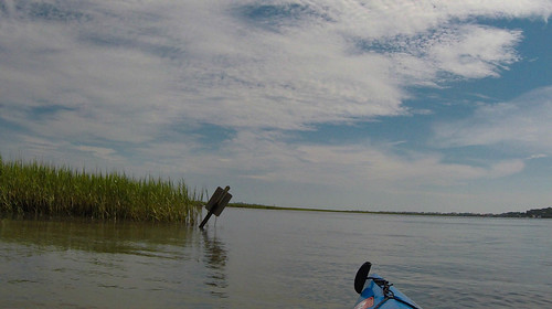
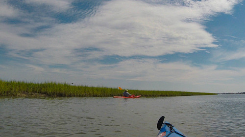
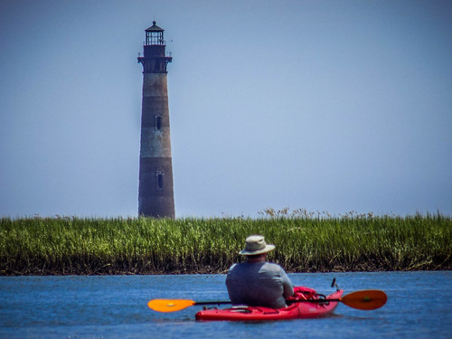
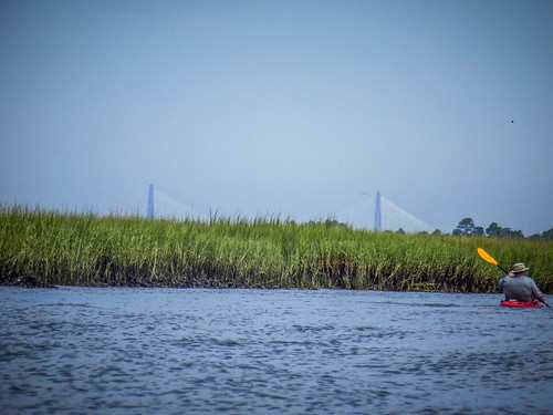
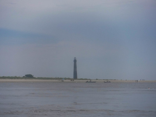
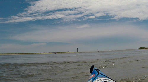
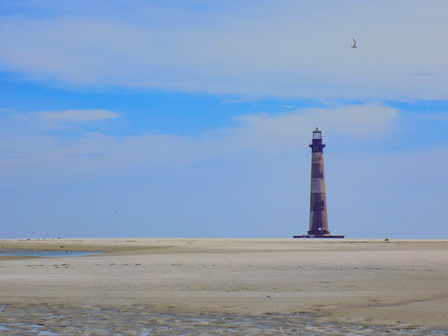
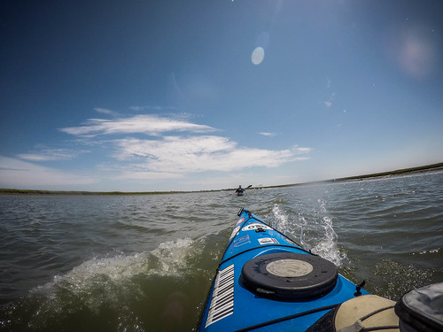
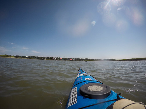
Wending our way through the marshlands was tricky, but we made the correct turns at the correct places. At one point we came around a bend and could see the lighthouse clearly over the grass. Boats whizzed by as we tried to take a few photos, and I was almost pushed into the bank at one point. We also caught glimpses of the Cooper River Bridge.
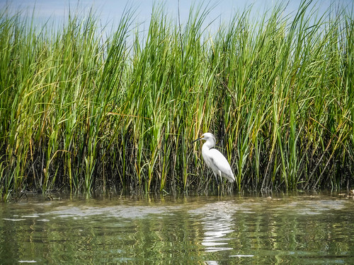
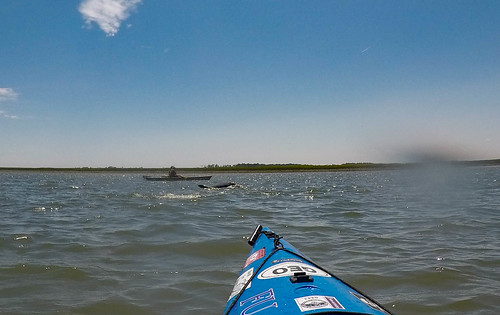
At one tributary several dolphins kept us company. We paused to watch them play. For whatever reason I wasn’t able to get a good shot.
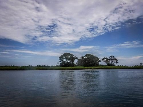
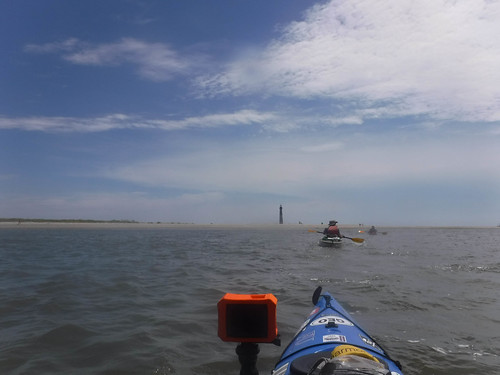
We came around another sharp bend and we could see the south end of Morris Island. The north end of Folly Island was to our right. Morris Island can only be reached by boat, so boats lined the beach area along the inlet.
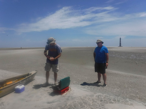
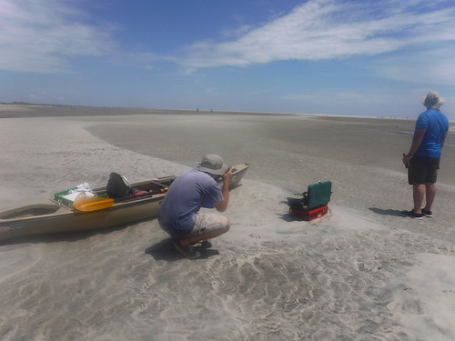
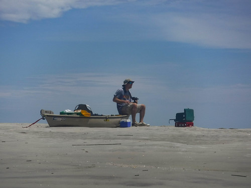
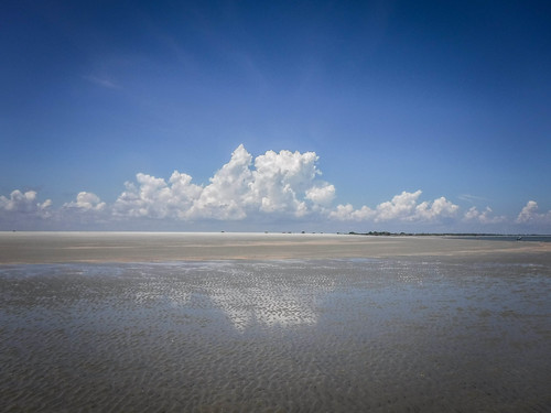
The beach area is actually a large sand spit that connects back to the island at low tide. It was a popular party spot on this hot Saturday. We found a place where we could pull up and set up camp. There was still plenty of room.
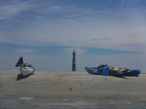
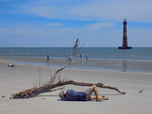
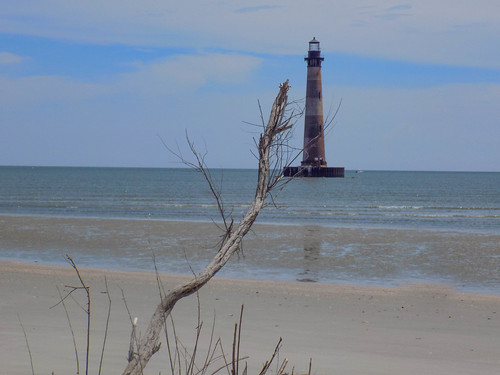
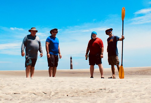
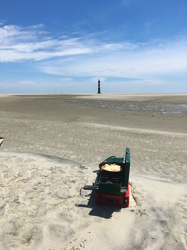
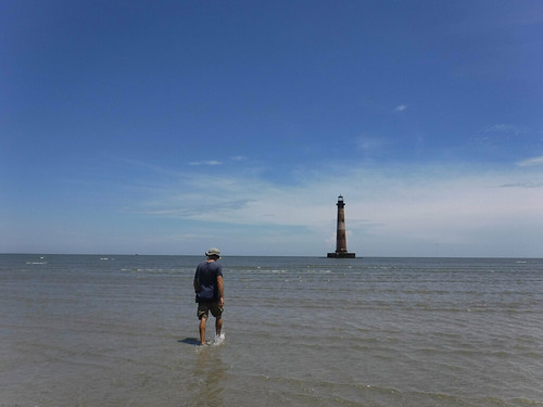
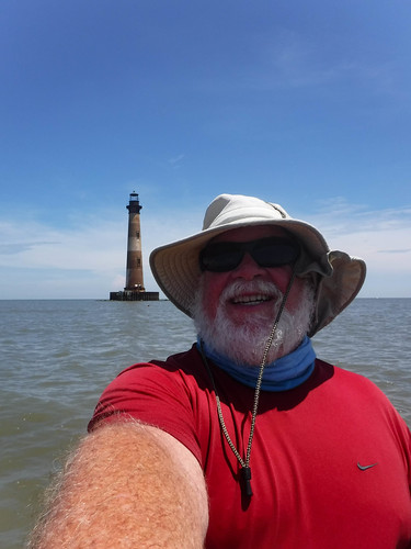
Our first order of business was to cross the sandy ridge and walked down to the beach on the other side for a clearer view of the lighthouse. We could paddle out to it, but that would mean entering tricky ocean currents and a long slog out around the spit. For now we satisfied ourselves with a beach view. That was one lone dead tree that we all used as an interest point for photos.
We paused for a group photo. This is from Matt’s collection.
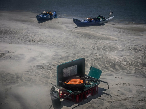
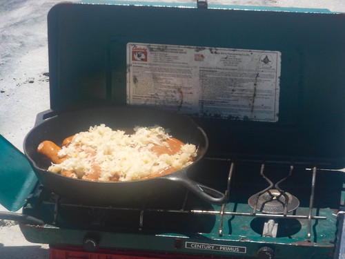
Back at the boats we set up for our traditional repast of brats, beer, and sauerkraut.
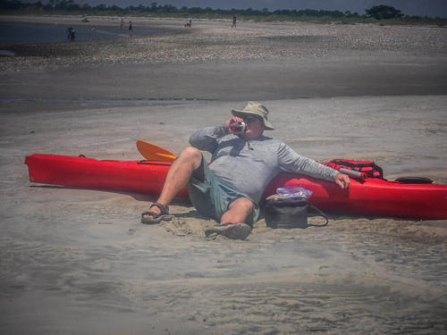
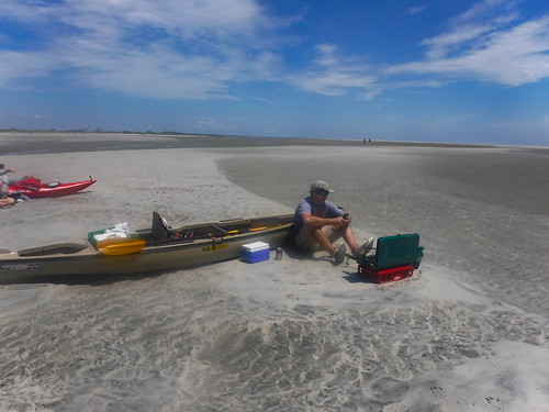
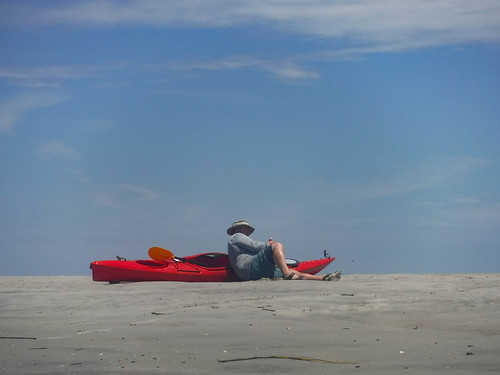
Suitably sated, we were kind of stuck. We needed to wait until the tide changed so that we could return with the incoming current. No problem. We took advantage of the nearby water to cool our heels.
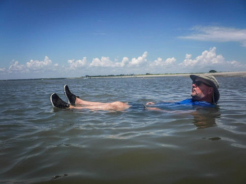
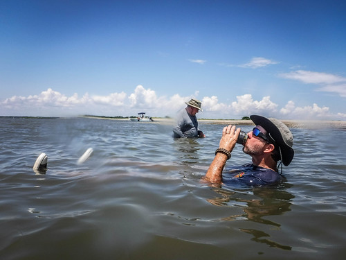
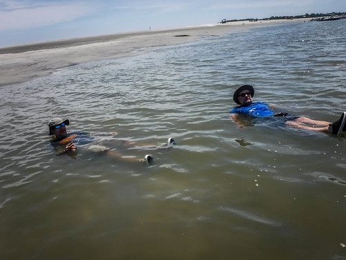
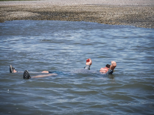
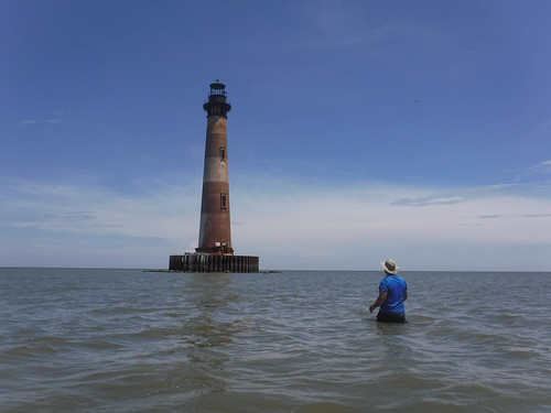
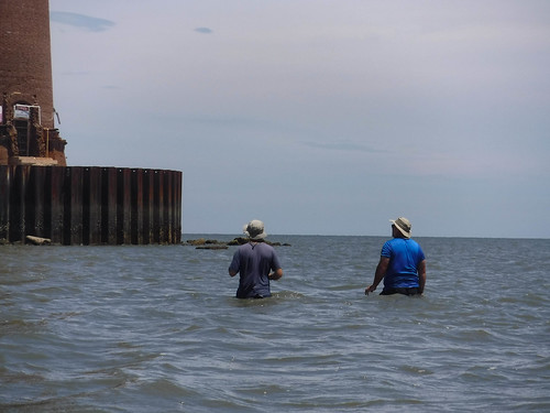
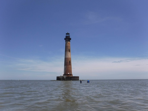
As the tide went it it got to be harder to find a place to soak. Some of our spots were now quite shallow. We decided that if the water was this low we might even be able to walk to the lighthouse. We decided to give it a shot. We walked back across the dune then waded into the ocean. It wasn’t easy, especially after consuming bratwurst, but we made it a good way out. I think we could have made it all the way to the light, but it would have been a challenge. Plus, we began to worry that we might get caught on the wrong side of the tides before we could get back.
We loaded back into the boats and made our way out into the channel. Around the first bend the dolphins had made their way further out. They got very close to us.
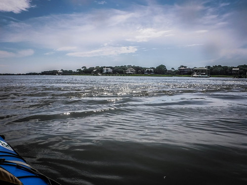
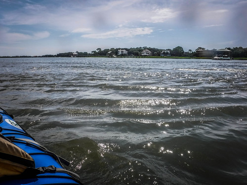
The trip back was long and arduous. We may have had the tide with us, but a stiff headwind was winning. I didn’t take many photos, and we really didn’t stop to rest or anything. We just plowed on.
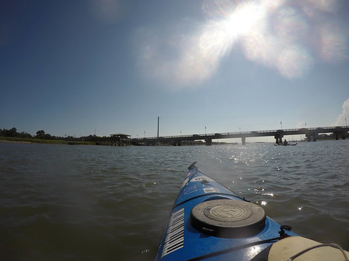
There was even more boat traffic – people wanting to take advantage of the last Saturday before school starts. I was glad to see the bridge and boat ramp, though.
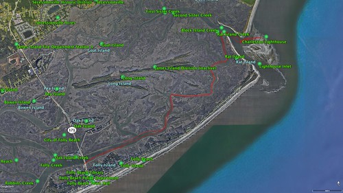
We paddled about 12.5 miles, quite a haul. Here’s a map of the trek:
I have two video clips. The first is a 3D visualization of the route as recorded by my Garmin wrist GPS. The video was automatically generated by relive.cc.
[flickr video=https://www.flickr.com/photos/randomconnections/43999300681/]
The next clip is the time-lapse from the GoPro. I had it set to shoot one image every 10 seconds.
[flickr video=https://www.flickr.com/photos/randomconnections/43280618714/]
Even after loading the boats into our vehicles we still had challenges. Traffic was horrendous. Cars were at a standstill in both lanes of the highway and making a left turn seemed impossible. Brian and Tim were able to get away, but I had to make a right turn and circle through unruly drivers along several town blocks before I could get headed in the right direction.
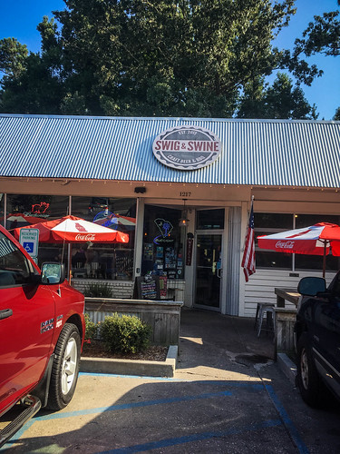
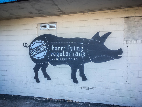
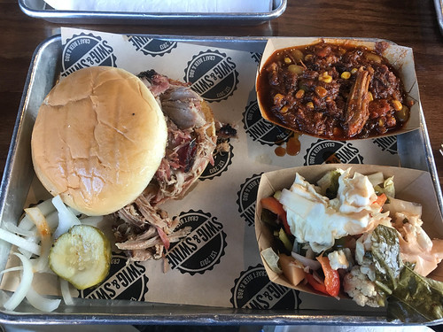
Eventually, though, we were all off-island. The others went on, but Matt and I decided to try the BBQ at Swig and Swine on James Island. The food was good and it was great catching up with Matt after a year’s absence.
We said our goodbyes until next month’s adventure, and I headed out for the long drive back to Greenville. It was another great LCU trip, even if there were only four of us and the trip was tough.
Here’s the rest of my photos in my Flickr Album:
I’m looking forward to next month’s trip.
Enjoyed reading this. My father grew up in Charleston and I remember him mentioning the Morris Island lighthouse and I believe sailing out to the island.
Charleston looks like a pretty awesome kayaking destination! Thanks for sharing your journey!