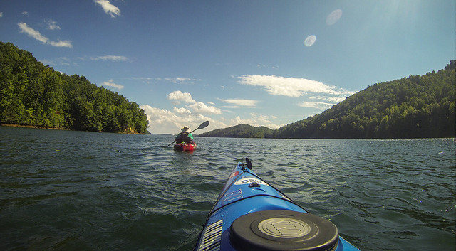
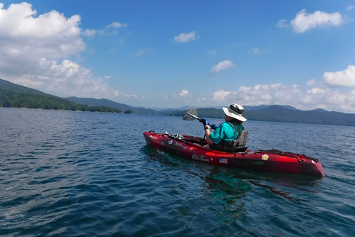
Bennie Waddell and I have been trying to keep to our paddling schedule, even though we haven’t been able to make it work every week. Regardless of whether or not we can actually paddle that day (sickness, weather, conflict, etc., etc) I think it’s important that it at least be on the schedule. We’re more likely actually to hit the water than simply saying, “Oh we need to do X someday…” Wednesday the stars aligned, and we were both able to take the trip up to Lake Jocassee that we had missed last week. It was an excellent day of paddling.
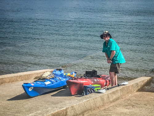
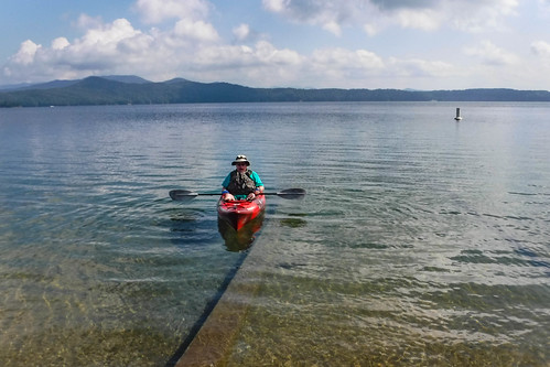
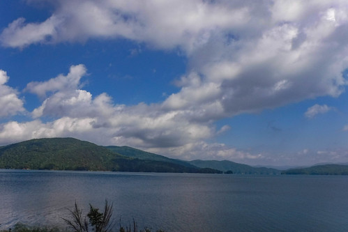
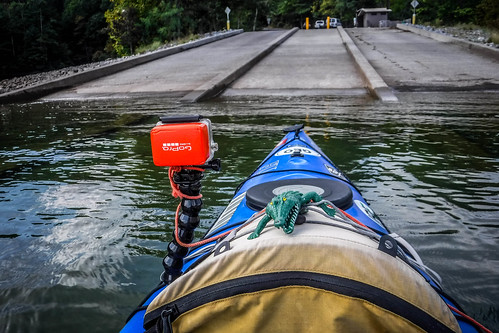
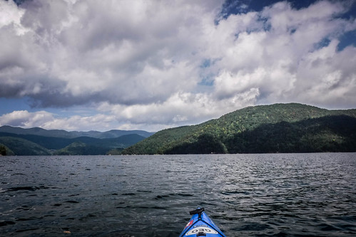
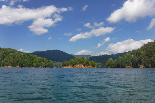
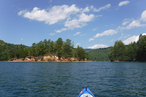
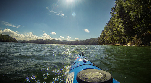
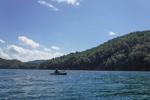
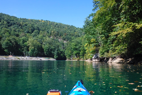
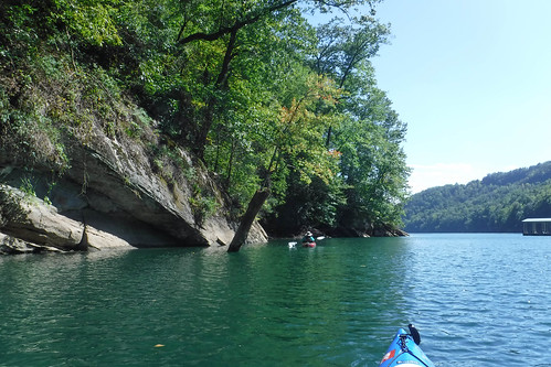
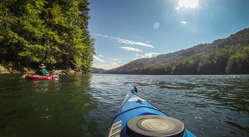
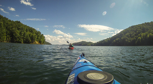
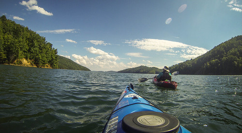
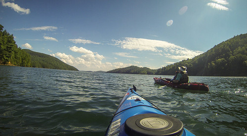
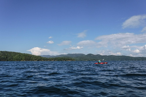
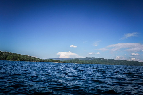
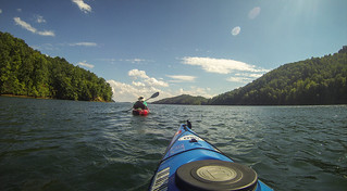
The weather truly was spectacular, with just enough clouds to define the crystal blue sky. There was a bit of a breeze, and the water was choppy, but that’s Jocassee. We had the upper boat ramp at Devil’s Fork all to ourselves as we launched.
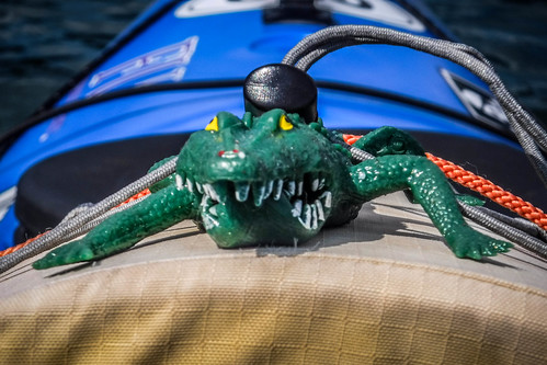
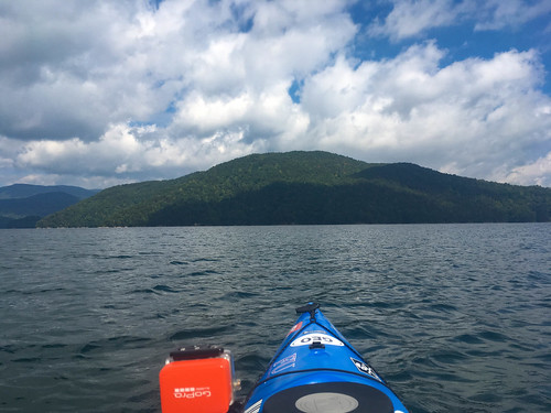
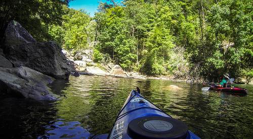
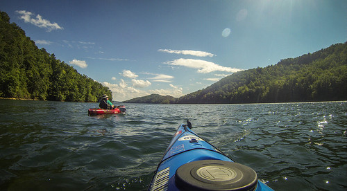
On our Eastatoe Creek paddle a few weeks back Bennie had christened his new kayak “Uncle Salty” and had insisted that I do the same for my boat. I was in the Pungo, and dubbed it “Swamp Thing,” since it’s the one I use for swamp paddling (usually) and selected an alligator as mascot. This time I was in the Tsunami, but Swamp Thing still tagged along.
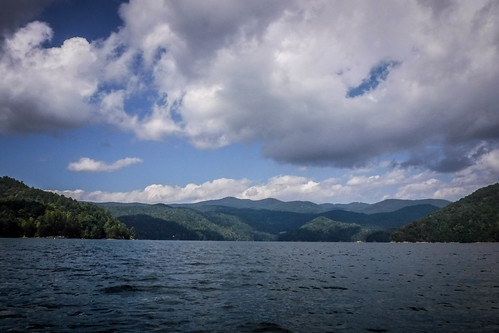
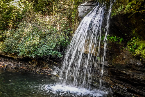
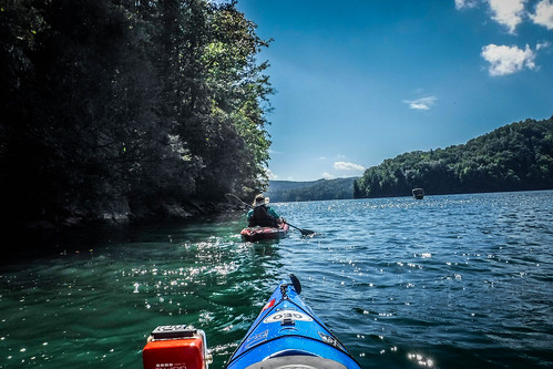
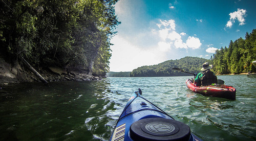
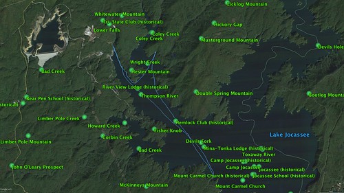
When setting out from Devil’s Fork you’ve got three choices. You can stick to the west bank and explore the small waterfalls. This is a much shorter, safer trip, and it’s the route I took on my last visit. You can venture into the wilds of the Toxaway/Horespasture arm of the lake, but it’s a LONG way to visit any waterfalls. There’s still some interesting things to be seen up there, though. Or, you can take the middle route up to Wright Creek Falls. We opted for the latter, which is one of my favorite routes. It’s within moderate range, and you can extend it for a longer trip, if you wish. If you select either of the latter two choices, there is a stretch of open water to paddle.
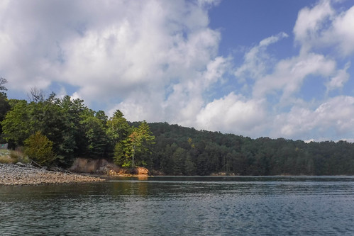
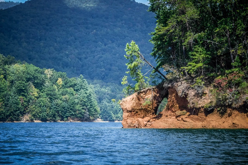
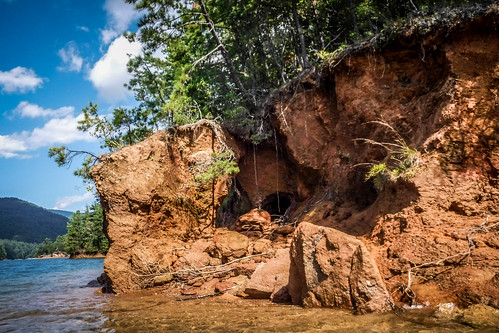
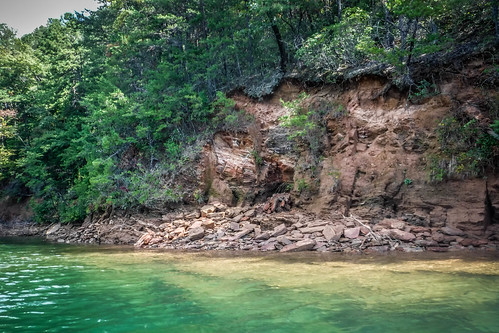
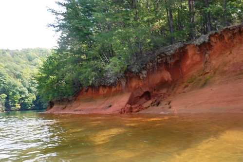
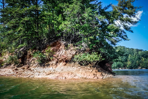
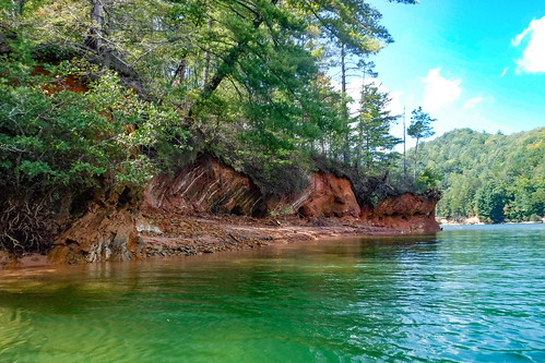
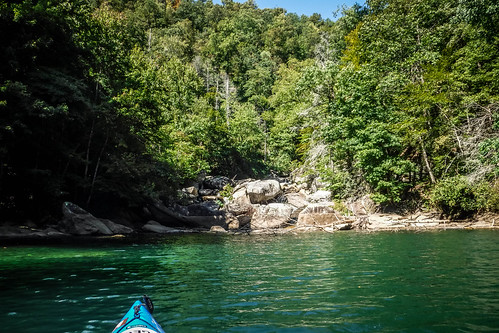
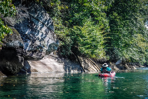
The water levels were low, maybe even a bit lower than the last time I was here, but not as low as I’ve seen it. The lower levels just reveal very interesting geology.
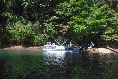
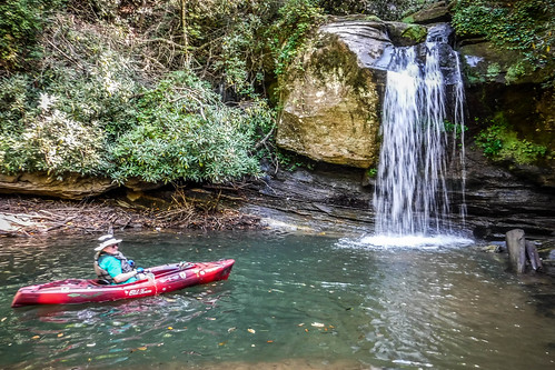
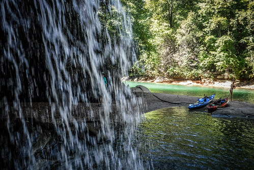
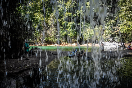
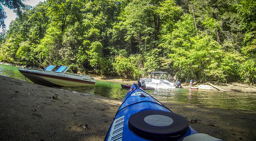
We made it to Wright Creek Falls quicker than I thought we would. As we approached the cove a pontoon boat was turning in ahead of us. I should have known we wouldn’t have it all to ourselves, even mid-week. It’s a popular spot. When we arrived there was a large sailboat parked right at the falls, obscuring any views. They were packing up to leave, though. The pontoon boat pulled up on the opposite side of the cove.
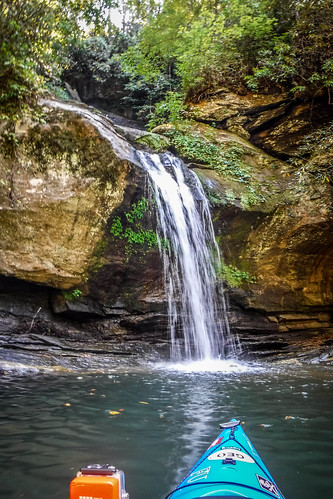
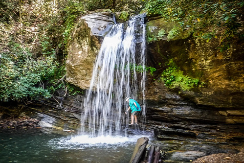
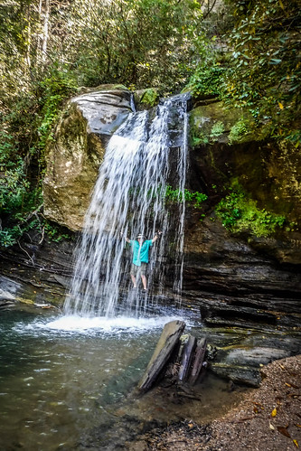
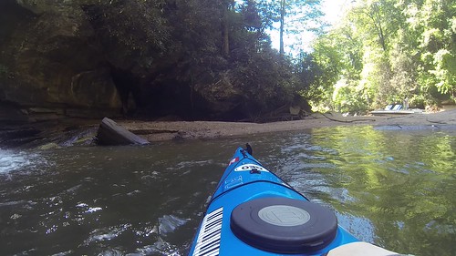
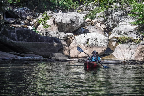
With the water this low we couldn’t paddle behind the falls, but we could paddle right up to them.
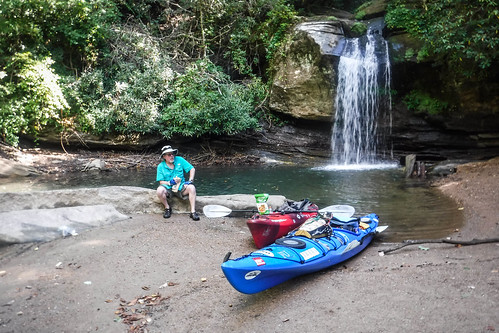
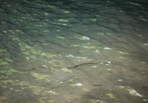
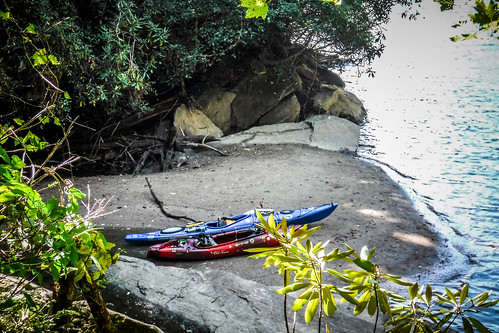
There was a small sandbar that made a perfect lunch stop. A small water snake swam right up to us, as if it wanted to be fed. I can’t imagine that being a learned behavior, as most people would scream and run rather than feed a snake.
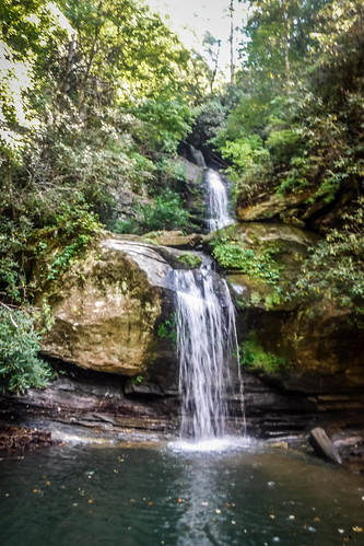
Even though you couldn’t paddle behind the falls, you could still walk behind them. Bennie and I took turns doing so.
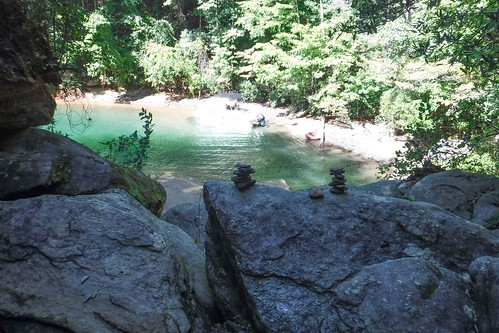
The folks from the pontoon boat had finished their lunches and began climbing the bank to the upper level of the falls. Bennie and I decided we would check out the view from there, as well. The climb up was steep, but manageable.
We chatted a bit with the folks sharing our cove. There was a couple from Colorado along with a family from Eastern Europe. They seemed nice, but we could never figure out their connection, or how they all wound up on a rented pontoon boat.
We climbed back down and bid them farewell, then headed on out. More boats were inbound, and it was time to let others enjoy the falls. I did take a moment to paddle back up to the falls before leaving.
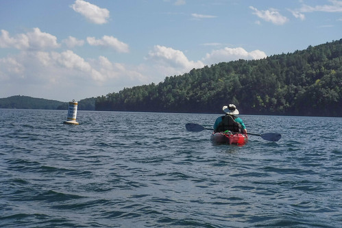
Ben had worked things out so that he could stay out a bit later, so we decided to paddle up the Bad Creek/Whitewater River portion of the lake. As we came out of the cove and rounded the point heading toward Whitewater we were met with a stiff southern wind and whitecaps. It was tricky paddling for a bit. Soon, though, we were paddling north again, with the wind.
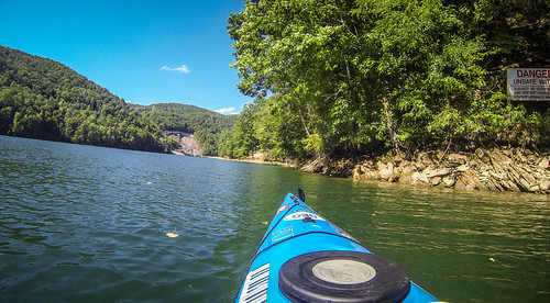
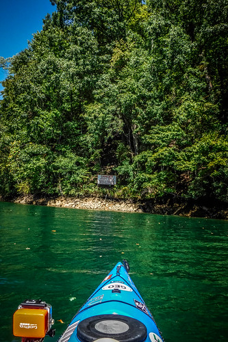
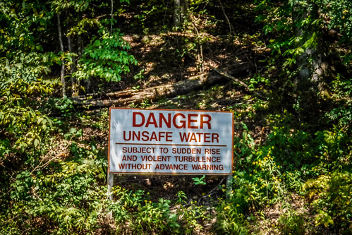
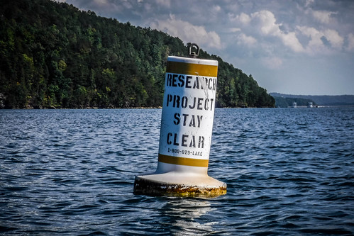
Rounding the bend toward Bad Creek we were greeted with signs warning of turbulent waters. We continued on.
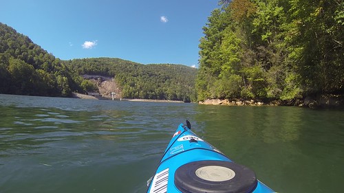
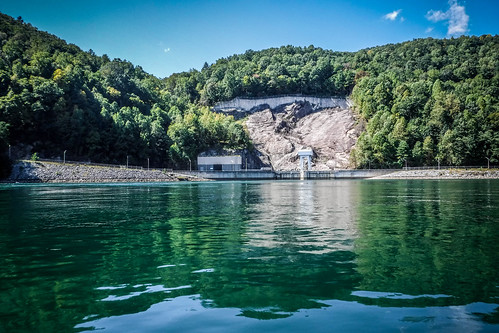
There were, in fact, some very tricky currents. The northbound whitecaps ran into water coming down from the Bad Creek Reservoir. Images of the Scylla and Charybdis came to mind. If we stayed to the eastern bank, away from the Bad Creek Project, we were OK. There were even some interesting little surfing waves.
On the other side of the project the channel narrows significantly, and just a short distance from that the Whitewater River drops into the lake through a series of cascades. I always refer to this as “Lower Whitewater Falls”, but technically, it’s not. The official Lower Whitewater is about a mile upstream. I’m not sure these falls actually have a name. Perhaps, the “Tail End of the Lower Whitewater Falls?” Regardless, the flow was considerably diminished. With our current drought this seems to be the case with lots of rivers and falls in the Upstate right now.
we admired the falls for a bit, then headed back through the whirlpool, then pretty much straight on back.
The wind was unrelenting. I fell into a smooth, steady rhythm while singing/whistling Grace Potters “Down to the Water.” Thunderheads loomed over the mountains, but seemed to be off in the distance and not really a threat.
It always seems to take forever to get back to Devil’s Fork from Whitewater, and this trip was no different, especially with the headwinds. At some point I felt a pop in my left shoulder followed by a stab of pain. It throbbed, but I kept going. It seems to be OK now, and didn’t really slow me down, but it was a bit disconcerting when it happened.
We reached the landing and got our boats loaded back up. It had been a great trip, and I’m glad we were finally able to make this happen. According to Google Earth we paddled 9.8 miles, bringing my total for the year to a bit over 162 miles.
Heres the link to entire photo set on Flickr:
We’ll have to see where we wind up on our next paddling trip.



Cool! Interesting how much better the video plays on the blog site than it does on Flickr. Probably much lower res/file size here.
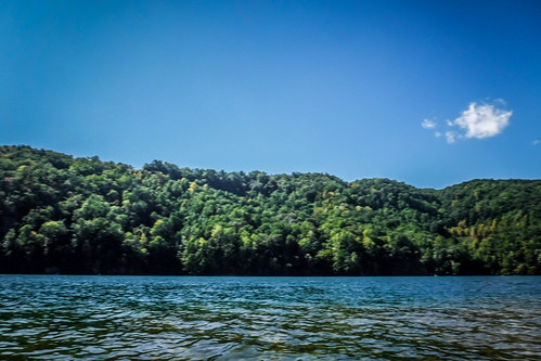
I am amazed by the range of greens you captured on the trip. My two main watercolor sets have a great range of greens. I saw pretty much all of them at some point in the water. Plus a decent set of blues, though not as diverse as the greens IMO. Beautiful stuff.
Something else to consider. Each of the two main sets of Whitewater Falls is some 400 + feet in elevation change. Prior to the building of Joccasse, the river would have had to fall another 300 – 380 feet to get to the base of the dam. In just a few miles. I think that’s rather amazing, and wonder if it happened through a falls or rapids or just a descent. I remember the river in the bottom of the valley from when I was a child, and it was flat down there. Clear as glass, and peaceful.
I checked the historical topo map viewer. It looks like the river flattened out pretty much at the Bad Creek confluence. From Lower Whitewater Falls upstream the river levels out for a bit, then it tumbles over the rapids that drop into what is now the lake.
I don’t see how that is possible. Intriguing question IMO.