Monday, August 4, 2014
We got a good night’s sleep in our quaint little hotel, but it was time to move on. We were very close to the end of our journey, but we still had some exploring to do. We got up and had a large breakfast at a local joint, where I demonstrated my prowess with one of the triangular peg puzzles.
We checked out of the little hotel and decided we wanted to explore more of Long Beach. The town is on a long peninsula bounded by Willapa Bay on the east and ocean on the west. We headed north out of town through rural areas then came to another little resort town called Ocean Park.
North of Ocean Park we came to a T intersection, so we turned toward the ocean. To be honest, it seemed a bit…dismal. There were dunes and grasslands, but I would think that in a storm-swept winter this wouldn’t be a pleasant place to live.
Continuing up the coast we reached a point where we had to turn back west. Finally we reached a sign pointing the way to Willapa Wildlife Refuge at the end of the point, so we turned that way. We were only able to get part of the way out to the point and found a parking area, but it was a hefty hike on out to the park. We decided to head back.
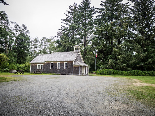
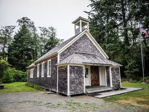
We took the eastern route along the bay. We caught a couple of glimpses of the bay, but nothing more. Soon, however, we saw a sign for the Oysterville School, and I could see the old schoolhouse just off the road to the east. I turned back to check it out.
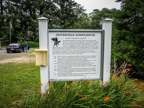
As with so many former schools, this one had also been turned into a community center. Tables lined the interior. A historical marker described the school.
There seemed to be a few quaint houses lining the side street that ran through the little village. We decided to check it out.
As the name suggests, Oysterville was founded upon the harvesting of the eponymous bivalves. It was settled in 1854, and by 1855 it had already grown into a sizeable town, with the first school, stores, and church in the area. At one time it was the county seat of Pacific County.
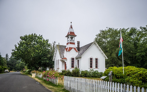
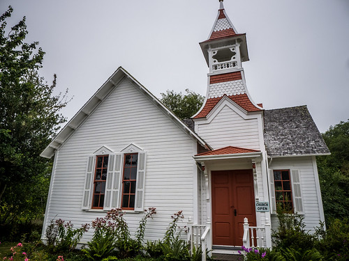
We turned onto the main street and came upon the Oysterville Church. This was a wonderful white church with an elaborately decorated bell tower. We parked next to it for a few photographs.
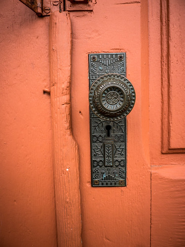
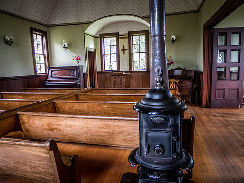
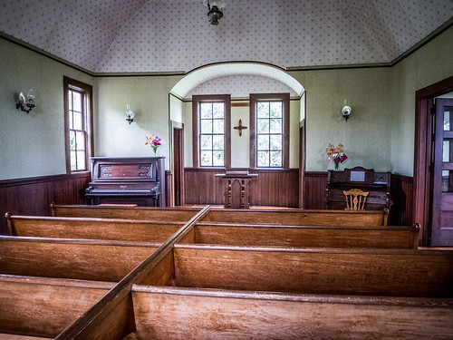
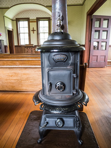
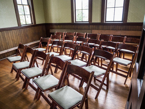
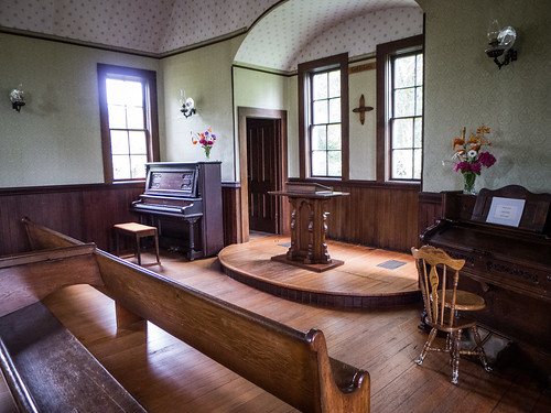
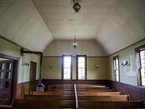
A sign on the door proclaimed that the church was open, so we decided to go in. The interior was completely restored to historic period. There were wooden box pews, and a wood burning stove.
From Oysterville we headed back southward. I knew there were a couple more lighthouses at the south end of the peninsula at the mouth of the Columbia River. What we desperately sought was one more cup of coffee, but there didn’t seem to be any. We did pass by lots of signs for cranberry bogs, and large OceanSpray processing center. However, we didn’t spot any of the bogs themselves this trip.
Finally we reached the town of Illwaca at the south end of the peninsula. The town sits in a protected cove opening onto the Columbia River. A sign pointed toward the Lewis and Clark State Park and the lighthouses, so we headed in that direction.
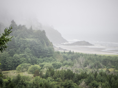
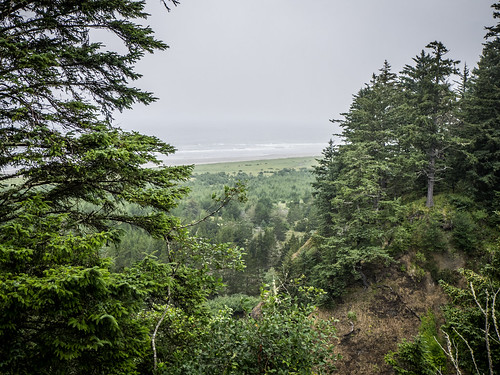
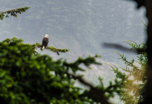
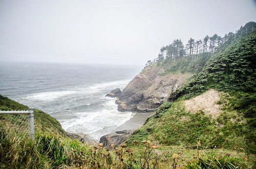
We came to an overlook at Beard Hollow. I was hoping to catch a glimpse of North Head Lighthouse, but couldn’t see it from this point. The area was foggy, but I was able to spot an eagle.
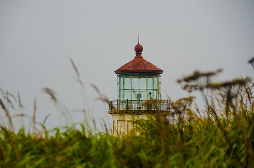
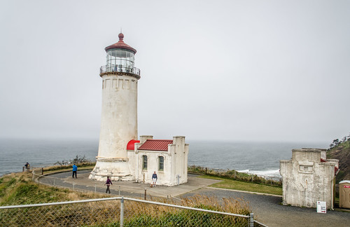
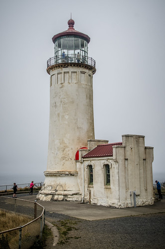
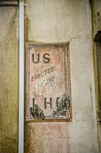
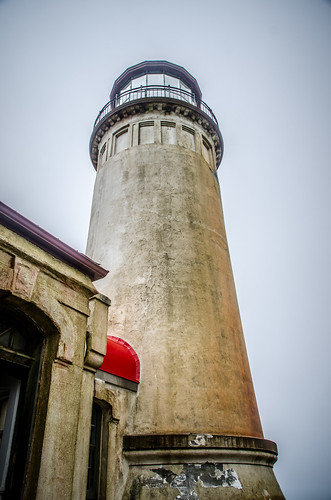
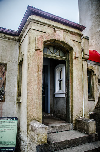
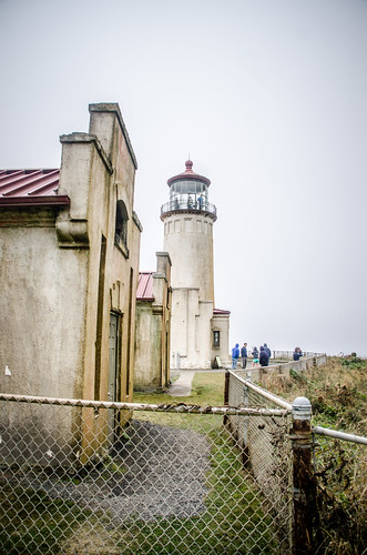
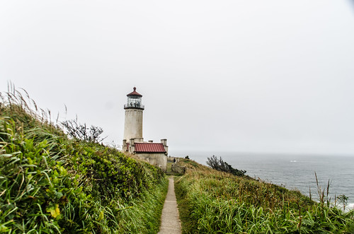
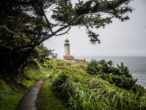
Soon we found the parking area for North Head Lighthouse, paid the parking fee, and started on the one mile hike out to the light. It was quite chilly out at the point we reached the light. It was the same design as Heceta Head and others we had seen, but seemed to be in much worse shape. It also did not appear to be functioning.
There was a charge for going up into the lighthouse, but we decided we had seen enough. We started the hike back.
We drove around to the entrance to the Cape Disappointment Lighthouse, but decided not to explore it. By this time we were getting tired, and were ready to head back north. We drove back through the town of Ilwaca.
From this point the route backtracked a bit to the only access to the peninsula, then we headed east, northeast, skirting the eastern edge of Wallapa Bay. I commented to Laura that the bay reminded me very much of Padilla Bay up near her mom’s island, but with fewer houses. As we crossed these areas, my hunger for kayaking just increased, looking at the beautiful coves and inlets of the bay.
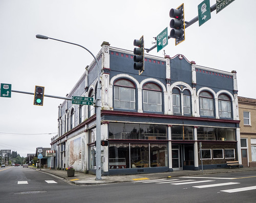
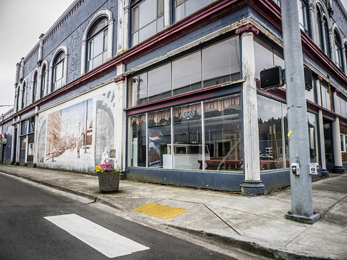
Speaking of hunger, we never found our additional cup of morning coffee, and by this time we were pining for lunch. The highway turned inward along the Willapa River, and we found ourselves in the little town of South Bend. There wasn’t much to it, and all of the places to eat looked…not very inviting at all. Regardless, we stopped at one potential place on the river…
…and promptly returned to the car. The kitchen was a makeshift affair that didn’t look like it had seen an inspector or cleaning bucket in years. It looked like the primary fare here was mainly liquid. We continued on.
The Willapa River forks, and at the junction we found the small city of Raymond. Here we found fast food that was adequate, if not interesting. Here we also had some choices to make. We could take 105 along the northern edge of Willapa Bay out to the coast, then follow it north to Westport, we could head directly north to Aberdeen, then hop over to the coast and drive up the Olympic Peninsula, or we could head up toward Aberdeen and cut through Seattle, taking the quickest route to Samish Island.
We had driven the Olympic Peninsula before decades ago. Laura was born in Aberdeen, and we had visited her family’s former hometown. Shortly after that they moved to Los Angeles, so she has no memory of living in the town. Now, however, we were tired, and decided that getting to Samish was the best route.
We headed north from Raymond on US 101. The route took us up and over hills and through forests of evergreens that I so closely associate with Washington. One thing I don’t normally associate with Washington is the heat. With the convertible roof back it was getting blasted hot, and it was only going to get worse.
We picked up 107, turning away from Aberdeen, then hit US 12 toward Olympia. From here on out were were on large freeways. Miles of driving on 12 connected us with I-5 in Olympia. I was amazed at how close the capital dome was to the interstate. We passed through Olympia and caught our first clear views of Mount Ranier. It would keep us company for most of our trek northward.
By the time we got to Tacoma traffic got really bad. It slowed, and we moved over to the HOV lane. The express lanes through Seattle run through tunnels and have very few exits. There was actually a back-up to get into the express lanes, and cars were whizzing past on the regular lanes. I was starting to question this path, but soon we were in the tunnels and making good time. At the north end of Seattle the express lanes emerge, and I could see traffic backed up in the other lanes. It was their turn, and I was glad we had stuck with it.
Even north of town traffic was terrible. At one point I think we went at least 35 miles at 35 miles per hour. All the way up to Everett and Marysville it was slow. On the other side of Marysville things finally started to open up. We had been getting overheated in the convertible, but didn’t want to risk pulling off to close the roof for fear that we might not get back onto the highway with traffic the way it was. Now we could even find a rest stop.
Finally we made it to the familiar territory of Skagit County. We stayed on the interstate through Mount Veron, then crossed the Skagit River into Burlington. This same bridge collapsed just a couple of years ago, but I couldn’t see any difference between this and the former bridge. They had replaced it with the exact same design.
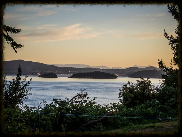
We exited at Burlington and stopped for dinner and supplies, then headed on out to the island. The house was in great shape, and it felt good to be “home” for awhile. Neighbors Duff and Linda came over to greet us, and we settled in for the evening to watch the sun set across the bay through front windows.
