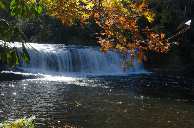
The beautiful weather this week has made me want to get out and take photos of fall foliage. I especially wanted to catch some shots of the early morning light. So, Wednesday morning I headed up toward the mountains in search of some color.
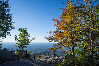
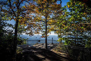
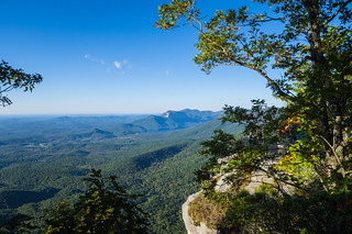
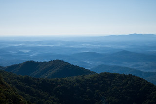
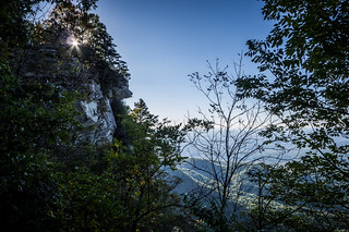
My first stop was Caesar’s Head. I had planned to do some time-lapse photography. However, time-lapse is made more interesting with clouds, and this morning there weren’t any to speak of. I took a few shots from the overlook, with fall leaves framing the view. I also took a couple of shots across The Dismal toward Table Rock. Little pockets of fog had settled into the valleys across the Piedmont.
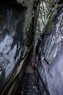
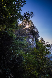
I took the stairs down through Devil’s Kitchen to the lower viewpoint. I remember when you could clamber down to the “Caesar’s Chin”, but that path has been closed off as being hazardous. At least I could get down to where I could capture the sun rising over Caesar’s Head. I used a narrow aperture to get the sun’s rays.
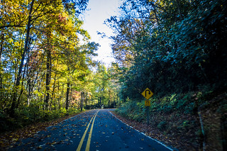
From Caesar’s Head I took Solomon Jones Road toward the YMCA Camp. My plan was to take a couple of shots of the Pretty Place Chapel. As I drove along, I was wishing I’d attached the GoPro to the roof of the car. The scenery along the road was quite nice, but I wasn’t sure I could capture it adequately in a simple photo.
The problem with Pretty Place is that it’s hit or miss as to whether or not the chapel will be available. In this case, it was a miss. Some group was having a meeting, which I did not want to interrupt. It didn’t look like they would be breaking up anytime soon, so I headed on back without any photos.
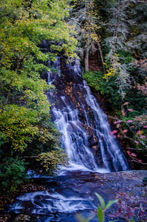
Back on 276 I headed toward Brevard. I’ve always kept driving past Connestee Falls as a blight of a housing development in the mountains. This time I decided to stop and look at the falls. I should have kept driving again. There was a monster of a house under construction right at the top of the falls. Worse yet, the public path only allowed access to the top of the falls. You couldn’t really see them from the overlook, and there was no way to get down further.
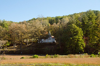
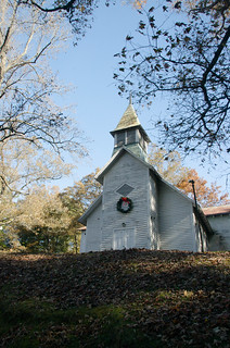
So far I was no doing well on my expedition. I kept heading toward town. Before reaching Brevard there is an old picturesque church on a hill. The former Carr Hill Church is no longer in use, but makes a nice image overlooking the farming valley. A Christmas wreath still adorns the wooden steeple.
I bypassed town and connected with the old Hendersonville road. My route took me alongside the Davidson River. Looking at it I once again wondered about paddling that stretch of river. I may have to do that sometime.
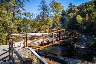
Eventually I made my way to Dupont State Forest. The parking area for the trail to the most popular falls was open. Last spring when we paddled to Hooker Falls from Cascade Lake Campground this area was closed, and the only way get to the falls was by water. It looked like they had completed their work. The parking lot had been greatly enlarged, and now there was a broad path leading down Hooker Falls and a new bridge across the Little River heading toward the upper falls.
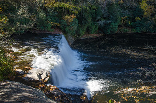
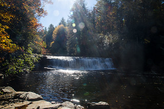
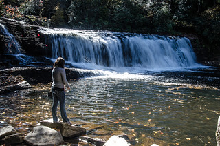
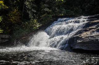
I headed down to Hooker Falls first. I took a couple of shots from the overlook, then walked down to the base of the falls. Unfortunately, lighting was terrible. The falls were backlit. A guy was there teaching his girlfriend how to fly fish. I hung around and took a few photos, and was joined by a couple of other photographers.
I took far too many photos, experimenting with various settings. However, I was soon in the mood for different scenery, so I headed back up the trail, and crossed the bridge headed toward Triple Falls.
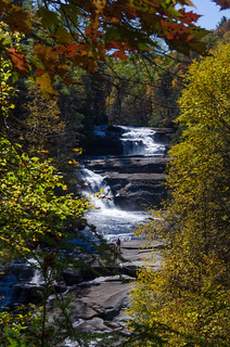
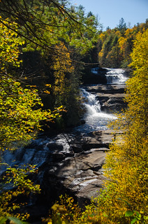
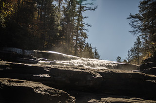
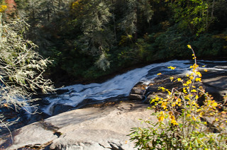
The new bridge takes one across the river, and the trail now runs under the road bridge. No more awkward crossings of a busy road. Other than that, the trail was about the same. It’s quite steep heading up to the falls. Soon enough, I was at the falls overlook, and found that it was once again back lit. I guess that later afternoon is a better time for these falls.
I made my way up to the stairs that lead down to the base of the falls. Actually, they lead down to the base of the middle section. I took a few more photos from that location.
By this time the day had warmed up. I hadn’t brought any water or hiking stick with me, so I decided not to continue on up to High Falls. I hiked on back down to the car.
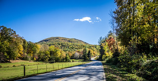
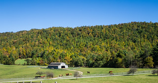
As I was driving out of the Dupont Forest, I noticed a road to the right named Sky Valley Road. I decided to explore. This scenic road connected with Pinnacle Mountain Road, and soon the pavement gave way to dirt. The road kept ascending, and I reached the top of the mountain that overlooks Dupont Forest. There were several hiking and horse-riding venues, but I kept going. I reached a high valley with a spectacular horse farm and incredible views.
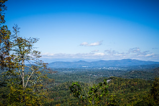
Continuing on this road I finally got to a point where there were more houses. The views out towards Hendersonville and Asheville were amazing.
Eventually the road took me past the Sky Top Orchard and down to Zirconia. I drove on up through Flat Rock and into Hendersonville. It was time for a late lunch. I stopped in a little Irish Pub on Main Street, then spent the rest of the afternoon wandering through the art stores and antique shops. Not a bad day’s adventuring.
[fsg_gallery id=”24″]




another great post! I noticed the colors at those elevations still don’t seem full and it feels very late in the season. I wonder if we’ll get to see the color we usually get.
Also, Conestee falls. There is a closed off path to the right of the current one. I climbed over the barricade one time and down a dirt path. It lands you near the bottom of the first teir waterfall. There are actually two falls there that merge together if I remember correctly.