This was a Second Saturday, and I was supposed to be joining my partners in crime at Lowcountry Unfiltered for a jaunt down to Harris Neck Wildlife Area. However, due to lots of factors I won’t go into now, I wasn’t able to join them. Even though I couldn’t make that trip, I was still in the mood for an exploration, even if it was a short local trip. Houston came up from Georgia, joining Laura, Glydna, and me for an excursion into the Dark Corner.
It was Houston who had proposed the venue. He had looked a map of Upstate South Carolina recently and saw lots of spots that he had never visited. We decided it was time to erase those deficits.
We first took a quick detour by Jungle J’s Hats and Knives. We could have wasted most of the afternoon just trying on hats and looking at knives. As it was, I still came away with a new hat. I tried on several that looked really good, and it was hard to choose just one, but I behaved.
From Jungle J’s our route took us through the back roads north of Taylors and Greer. Eventually we took Milford Church Road to Highway 101. Since we were close, I decided to head down to Gilreath Mill. There we encountered a wonderful surprise.
Gilreath Mill
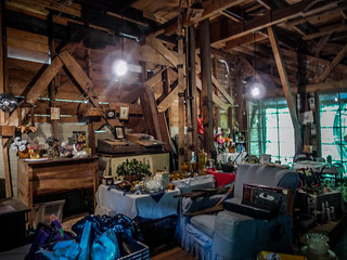
I’ve always wanted to explore the old mill, and this time we were in luck. A woman was coming out of the store with various items, and a sign out front read “Sale Today.” We pulled over to check it out. It appears that the mill is now being used to sell flea market-type items and plants. We went inside to check things out.
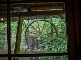
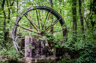
The first floor had lots of goods for sale, with views out toward the old water wheel.
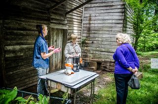
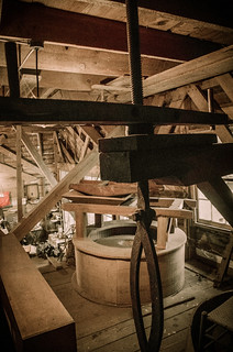
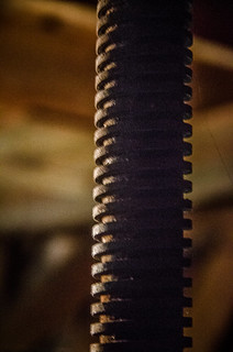
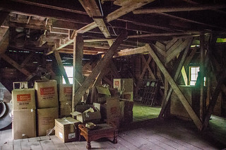
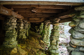
Debbi Newton, the proprietor, told Laura and Glynda tales of ghosts and haunts that inhabit the old mill, while Houston and I explored. Only a small space has been given over to sale items. Much of it is used for storage. Some of the old mill equipment remains, including a grindstone, chutes, and lifting equipment, but it hasn’t been used since the 1950’s.
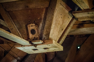
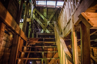
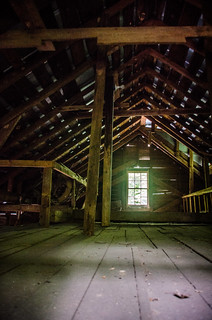
Mrs. Newton invited us to ramble all over the old mill, including the upper floors. Some of the stairs looked a bit rickety, but we continued upward. I didn’t go all the way up to the attic, but I did hold my camera up to get a shot through the handrails.
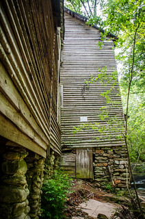
Of course, I had to take a few shots from the outside, too.
Fellow explorer Mark Elbrecht visited the mill last year, and found this information about it’s history…
Joel Bruce built what is now known as Gilreath’s Mill as a corn mill sometime between when he bought the property in 1801 and the first contemporary account of the mill in 1839, with tradition giving a date of 1814. The property would pass on to John Heller, and then Washington Taylor in 1840. In 1890, P. D. Gilreath took over the mill property and began producing wheat flour in place of corn flour. The mill would remain in the Gilreath family until transferred to the Gilreath Mill Foundation in 2007, with the rest of the property subdivided and sold off over the years.
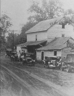
Washington Taylor was P. D. Gilreath’s father-in-law, and was part of the family that settled Taylors, SC. Here’s a view of the mill in its heyday in the 1930’s…
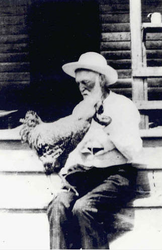
While at the mill I purchased a copy of “P. D. Gilreath: High Sheriff” by John H. Gilreath. Perry Duncan Gilreath was a legend in law enforcement in Greenville County. After serving in the Confederate Army as an officer, he ran for sheriff in 1876 and served until January 1, 1901. He was known for bringing justice to the Dark Corner without the use of a gun. Historian A. V. Huff tells several tales of Gilreath’s exploits while sheriff, but in his later years, Gilreath was more content to run his mill and raise chickens.
Catholic Vietnamese Memorial and Campbell’s Covered Bridge
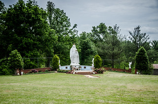
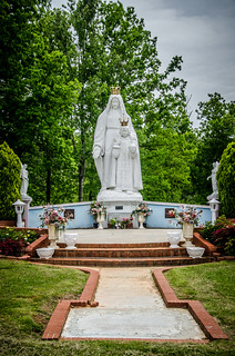
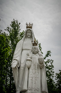
We left Gilreath Mill and continued up Highway 14. We paused briefly to take a look at the Catholic Vietnamese Memorial, which looms unexpectedly in the middle of this rural farmland.
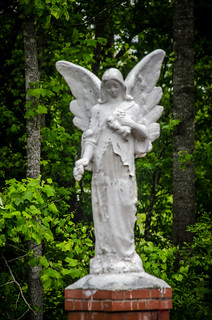
With all of the angels around I warned Houston not to blink, but then Laura reminded me that the four angels were facing each other with their eyes open, and were therefore quantum locked.
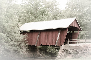
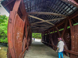
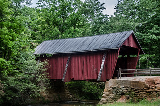
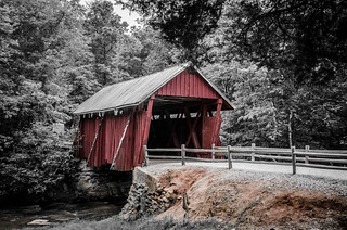
We continued on up 14 and followed the signs at the turn off to Highway 414 to Campbell’s Covered Bridge. Laura, Glynda, and I had visited many times before, but this was Houston’s first visit. We paused to take a few photos. I ran several of these through various Lightroom filters.
Laundrum, Campobello, Lunch, and Family
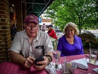
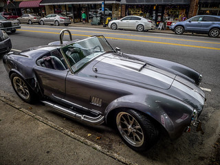
By this time we were getting hungry. We drove through Gowensville, then continued on up to Landrum. We found lunch at the Hare and Hound and sat outside, despite the threat of rain. The food was excellent, and it was quite pleasant. I took it as a good omen because my dream car, a Shelby Cobra, was parked outside of the restaurant.
It was tempting to explore the antique shops around Landrum, and Laura and I may do that at a later date. Houston wanted to see Campobello, so we headed south on Highway 176. We just drove through the town so he could say he had been there, but we didn’t take photos.
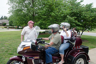
We continued eastward on Highway 11. Soon we realized that we were very close to our sister Susan’s house, so we decided to drop in on them. They weren’t there when we first arrived, but came riding up just as we were getting ready to leave. We were joined by our other sister, Beth. Five of the seven Taylor siblings and randomly managed to wind up in the same place. We had a pleasant respite over coffee with family.
We left Susan’s house, but we had one more stop on our way home.
Shiloh Methodist Church
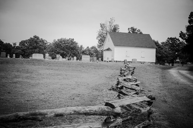
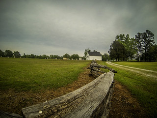
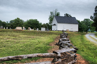
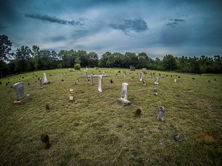
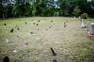
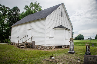
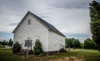
Shiloh Methodist Church is located just southwest of Inman. The simple plain white church was built in 1825, but the congregation was founded much earlier. We paused to take photos of the fencing and cemetery before walking up the church, proper.
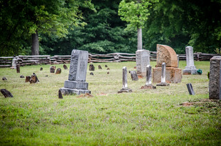
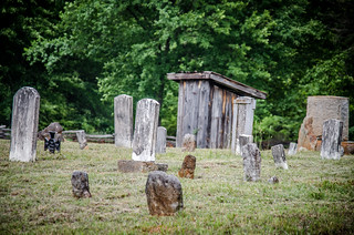
The cemetery has lots of very old headstones, as one might imagine. However, we didn’t see any of the signature stones. There were a surprising number of plain field stones with no writing marking many of the graves. An oddly-placed outhouse sat in the middle of the field.
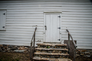
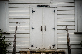
The church itself was completely closed up. One of these days I’d love to go inside.
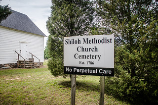
At the other entrance to the church it appears that a commercial group is selling cemetery plots on the grounds. These appear to be separate from the historic cemetery, which has this strange sign…
I guess that’s to distinguish it from the commercial plots. Even so, there doesn’t seem to be a disconnect between old and new. I’m not exactly sure how I feel about this, though. There seems to be something crass about commercializing a historic site. However, it does insure that the site will be protected and the land is still being used for its original intent.
We took and ambling route back home, avoiding major highways. We didn’t get to the heart of the Dark Corner, which I always consider to be at the foot of Glassy Mountain, but we did see a large portion of it. Here are the locations we visited…
View Dark Corner Ramble 5-11-2013 in a larger map
…and here’s a slide show of all of the photos from the day…
